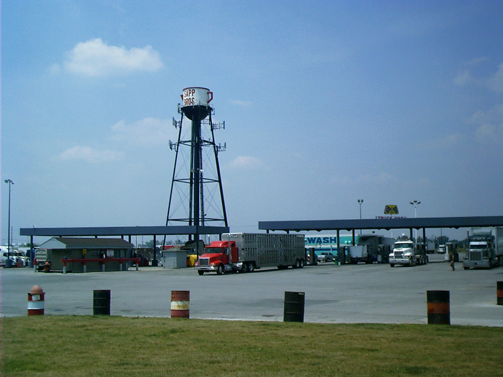
2007-06-14 14.21.22 — 0.4 MB — map
Sapp Bros Truck Stop, Council Bluffs, IA
Topic: TransportationResolution: 1600 x 1200 Landscape
Grade: D
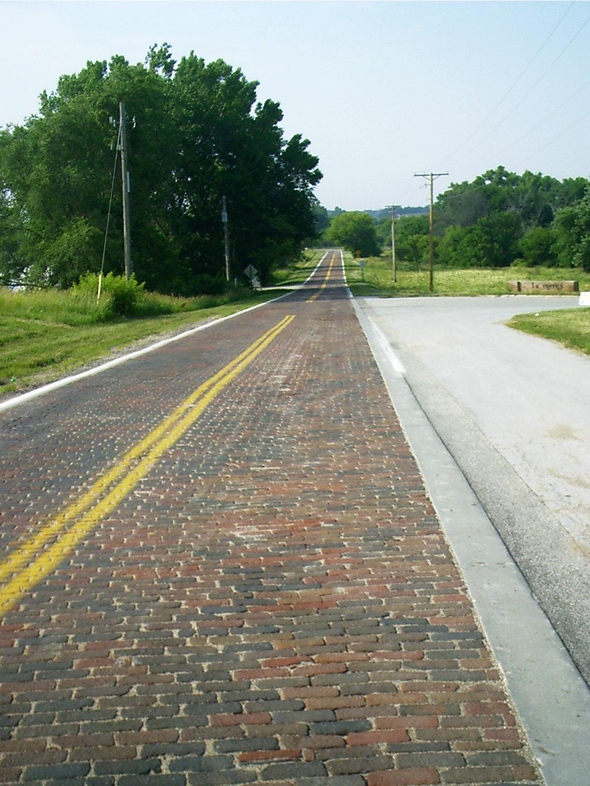
2007-06-14 17.40.36 — 0.3 MB — map
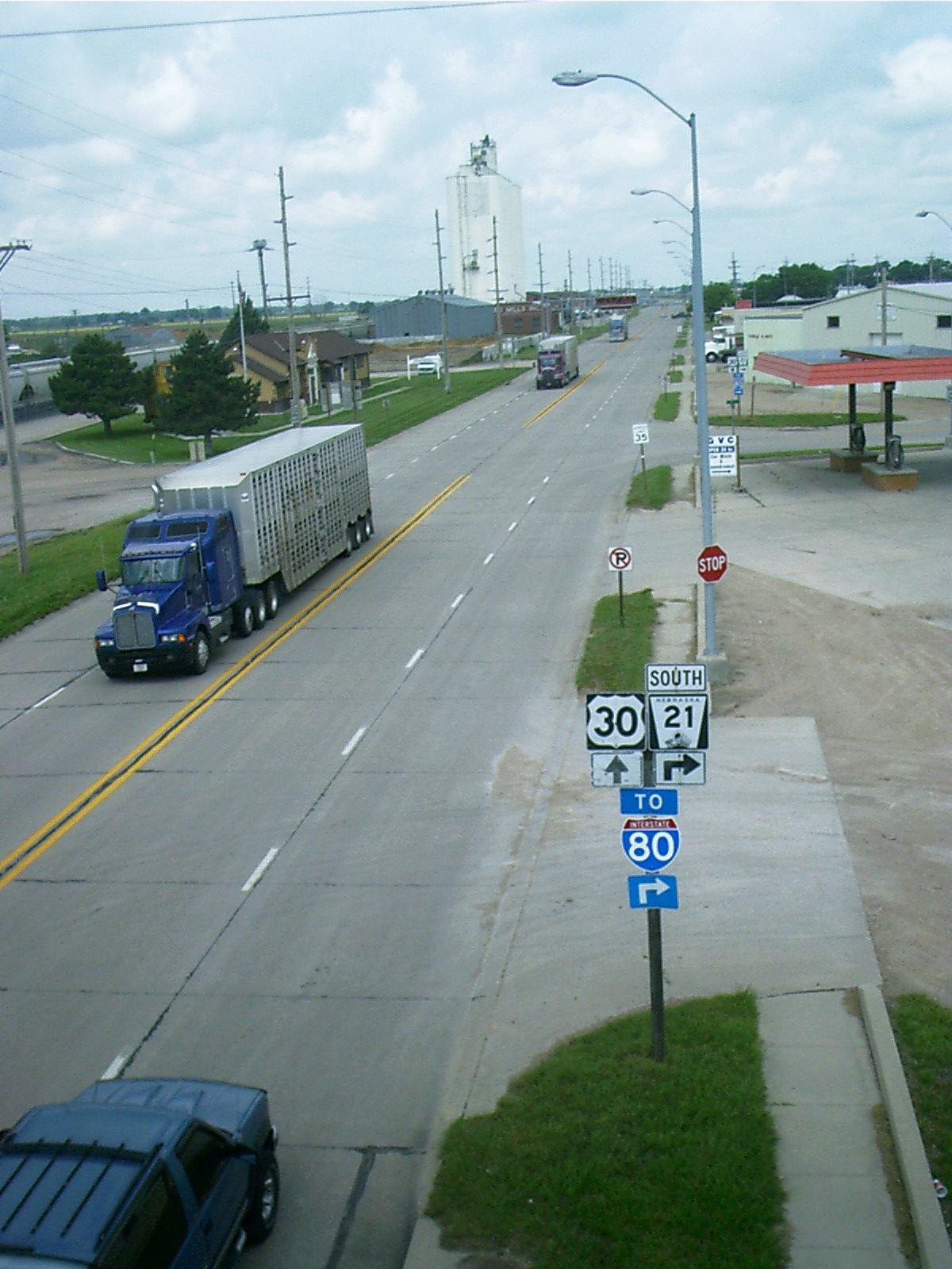
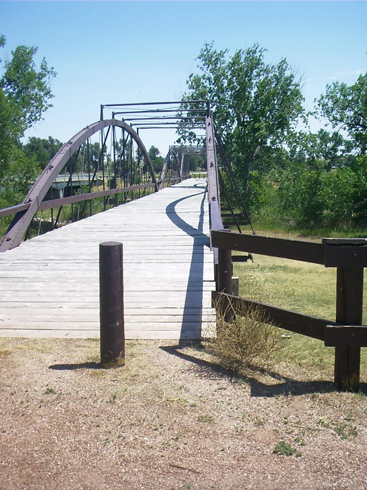
Old US 30, Elkhorn, NE
Topic: TransportationRemarks: Douglas County Road 120 east of Elkhorn.
Out of Omaha take Dodge Rd west (through Boys Town) to 168th. Exit north (right) and take first left, then next right, which follows the Union Pacific Railway to Elkhorn.
Resolution: 1200 x 1600 Portrait
Grade: C
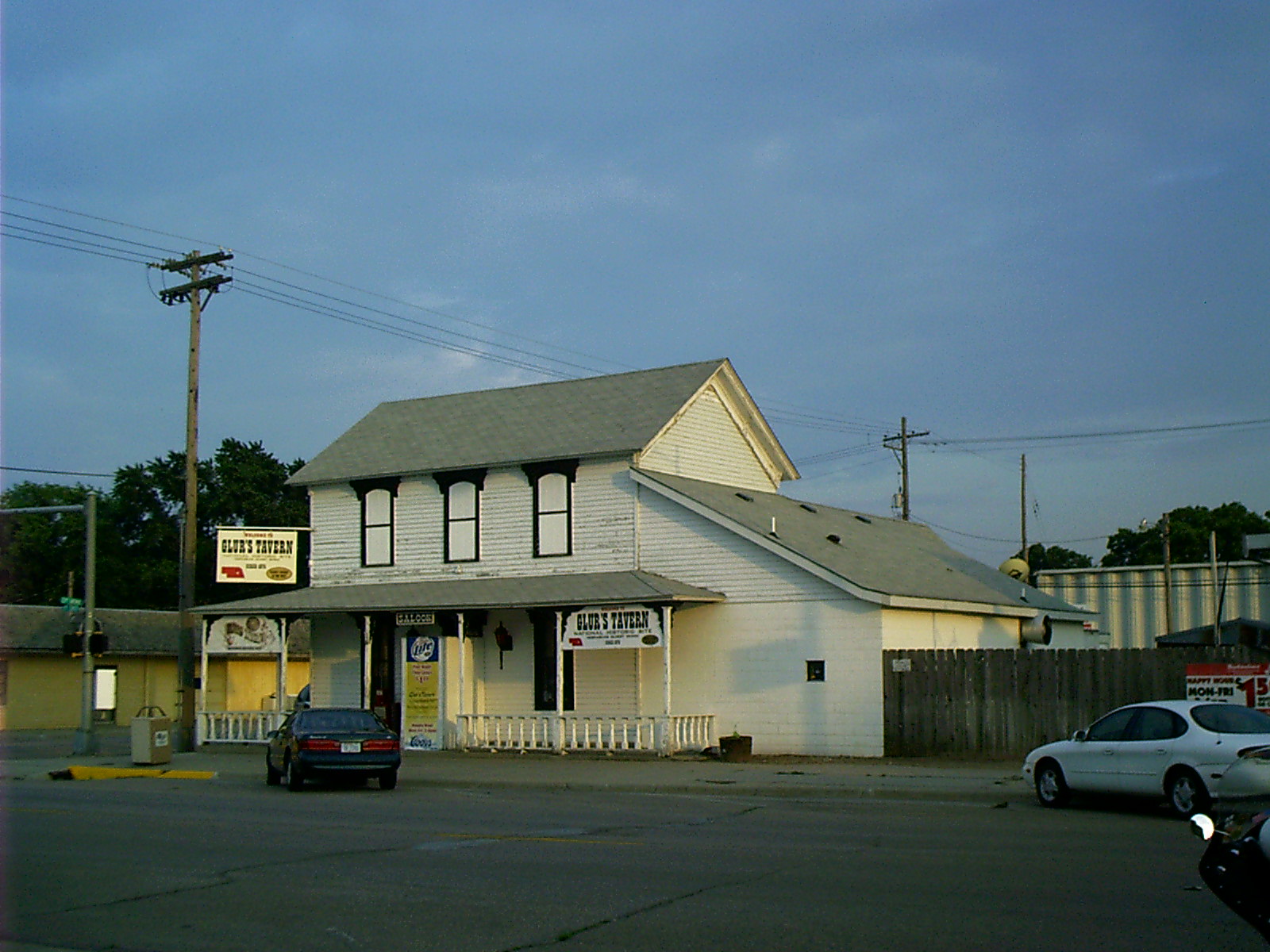
2007-06-14 20.12.32 — 0.4 MB — map
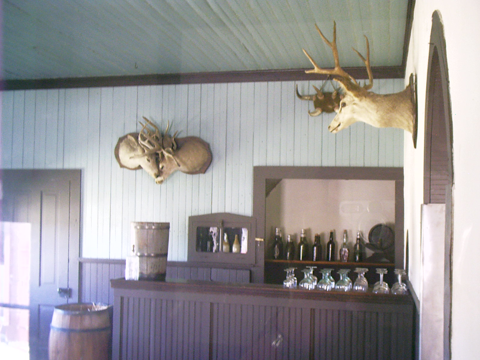
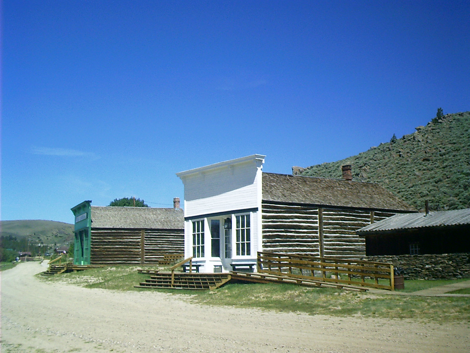
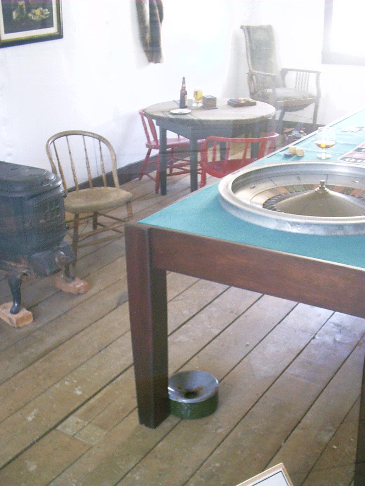
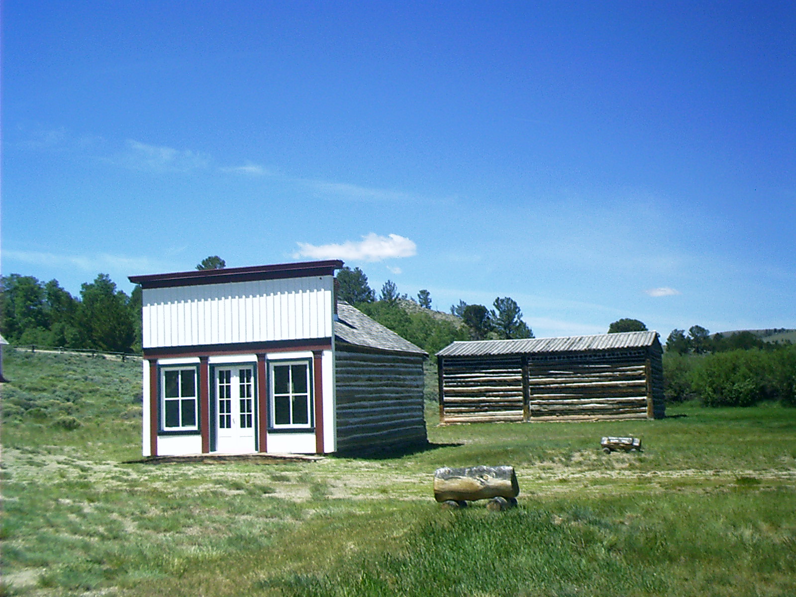
Glur's Tavern, Columbus, NE
Topic: TransportationRemarks:
- Glur's Tavern
2301 11th St.
Columbus, NE 68601
402-564-8615
• Nebraska National Register Sites in Platte County. 14 July 2005. Nebraska State Historical Society. 1 July 2007 <http://www.nebraskahistory.org/histpres/nebraska/platte.htm>.
Resolution: 1600 x 1200 Landscape
Grade: C
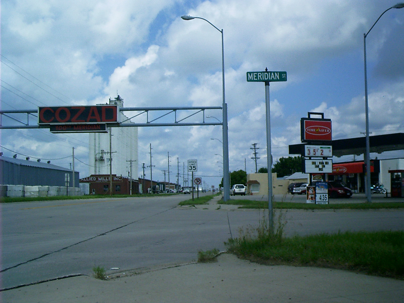
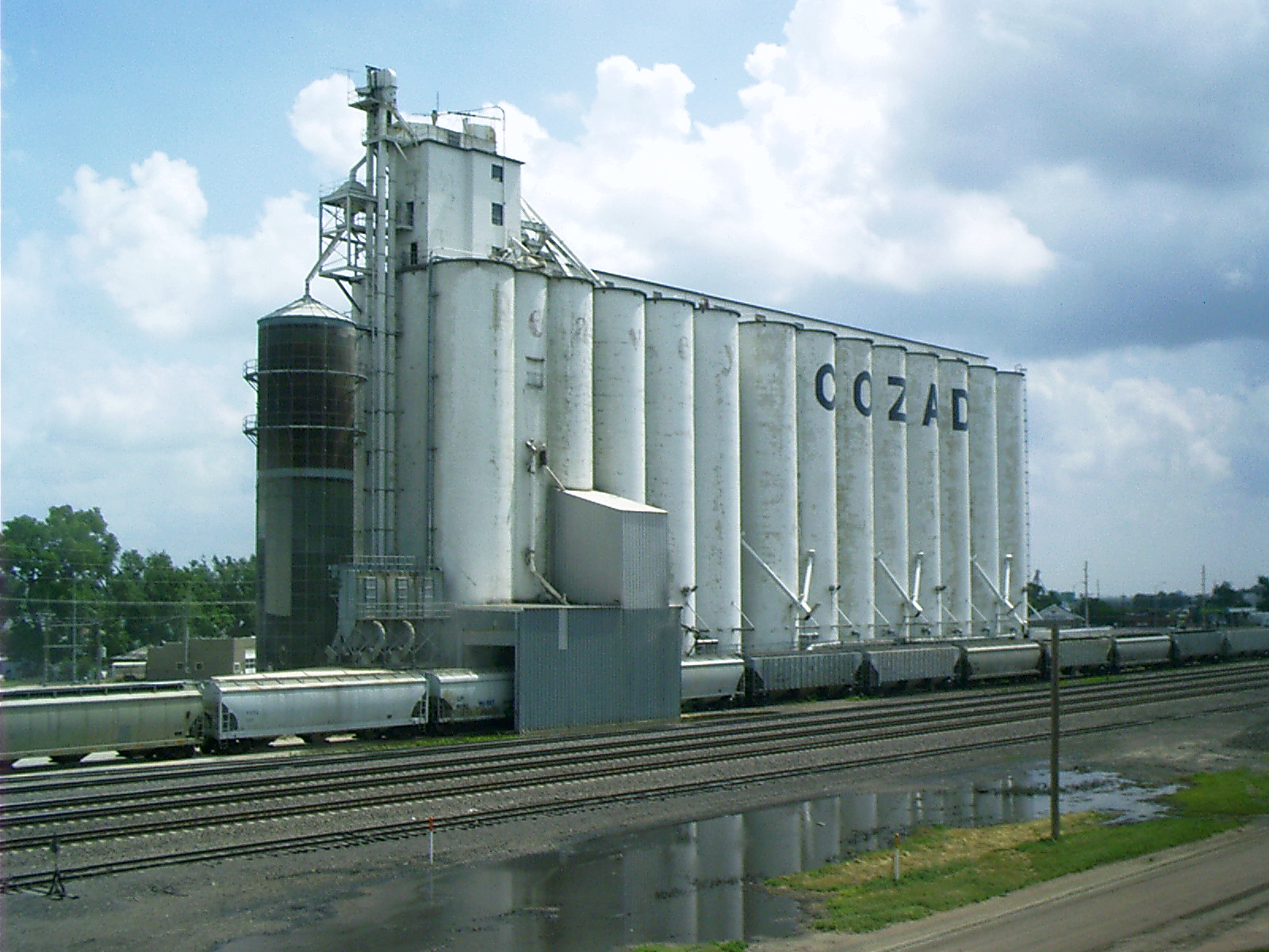
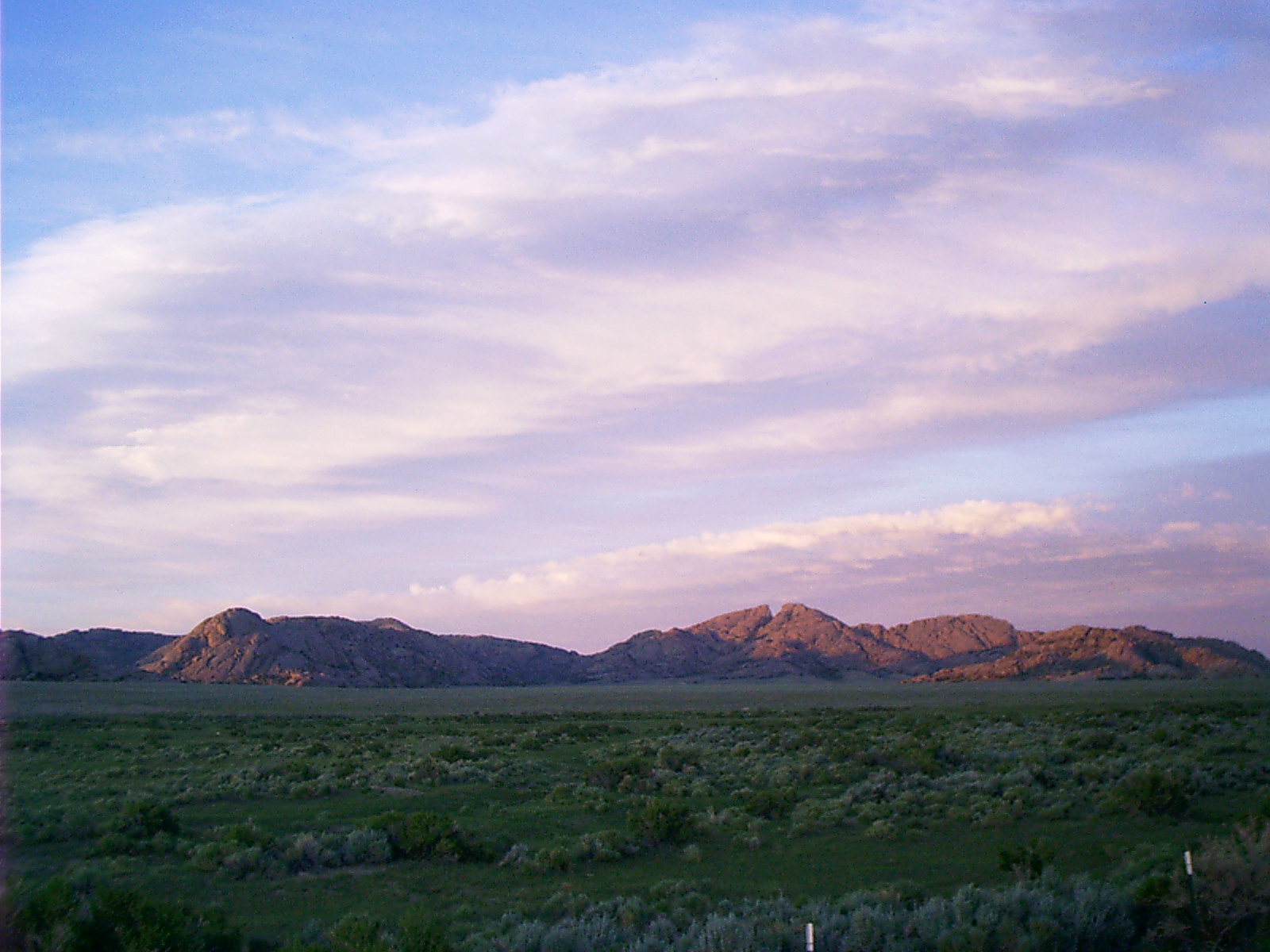
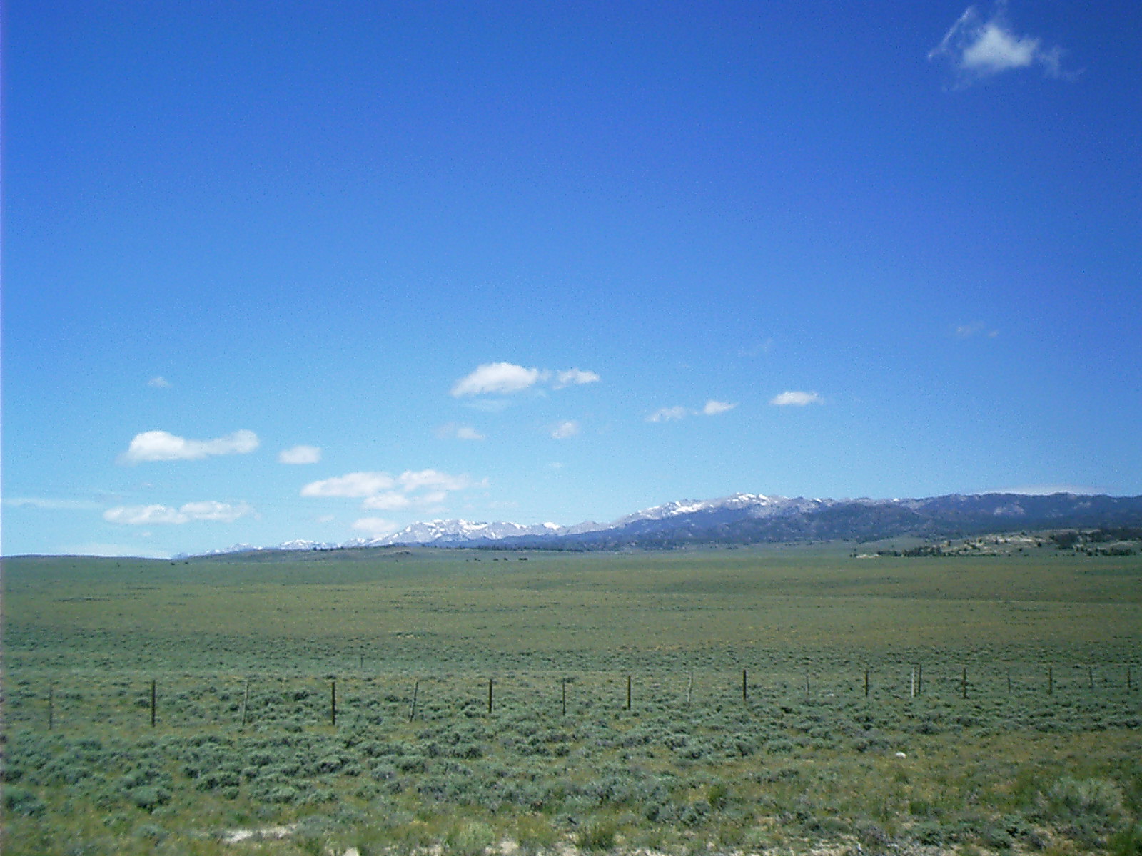
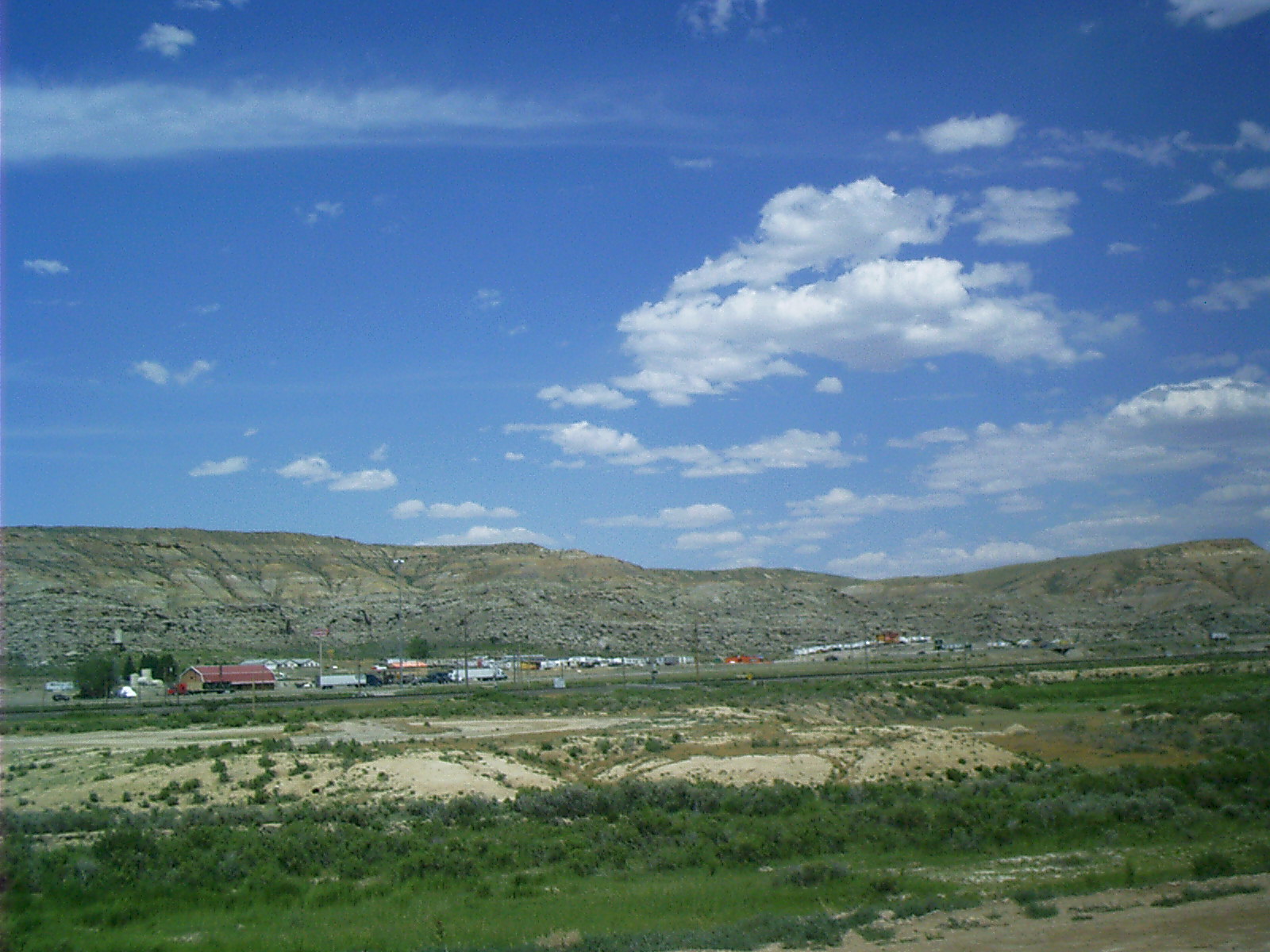
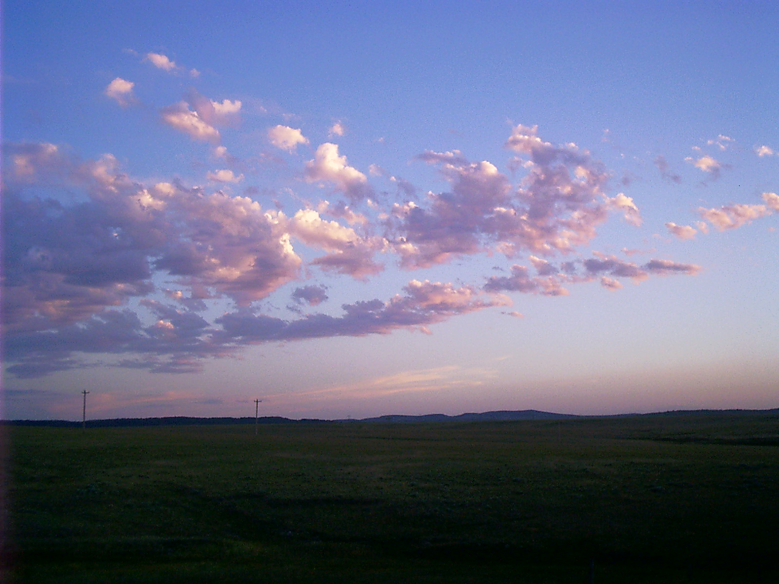
2007-06-15 11.47.38 — 0.4 MB — map
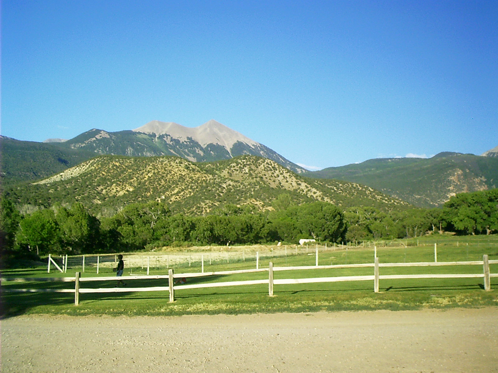
Cozad, NE
Remarks: 100th MeridianResolution: 1600 x 1200 Landscape
Grade: D
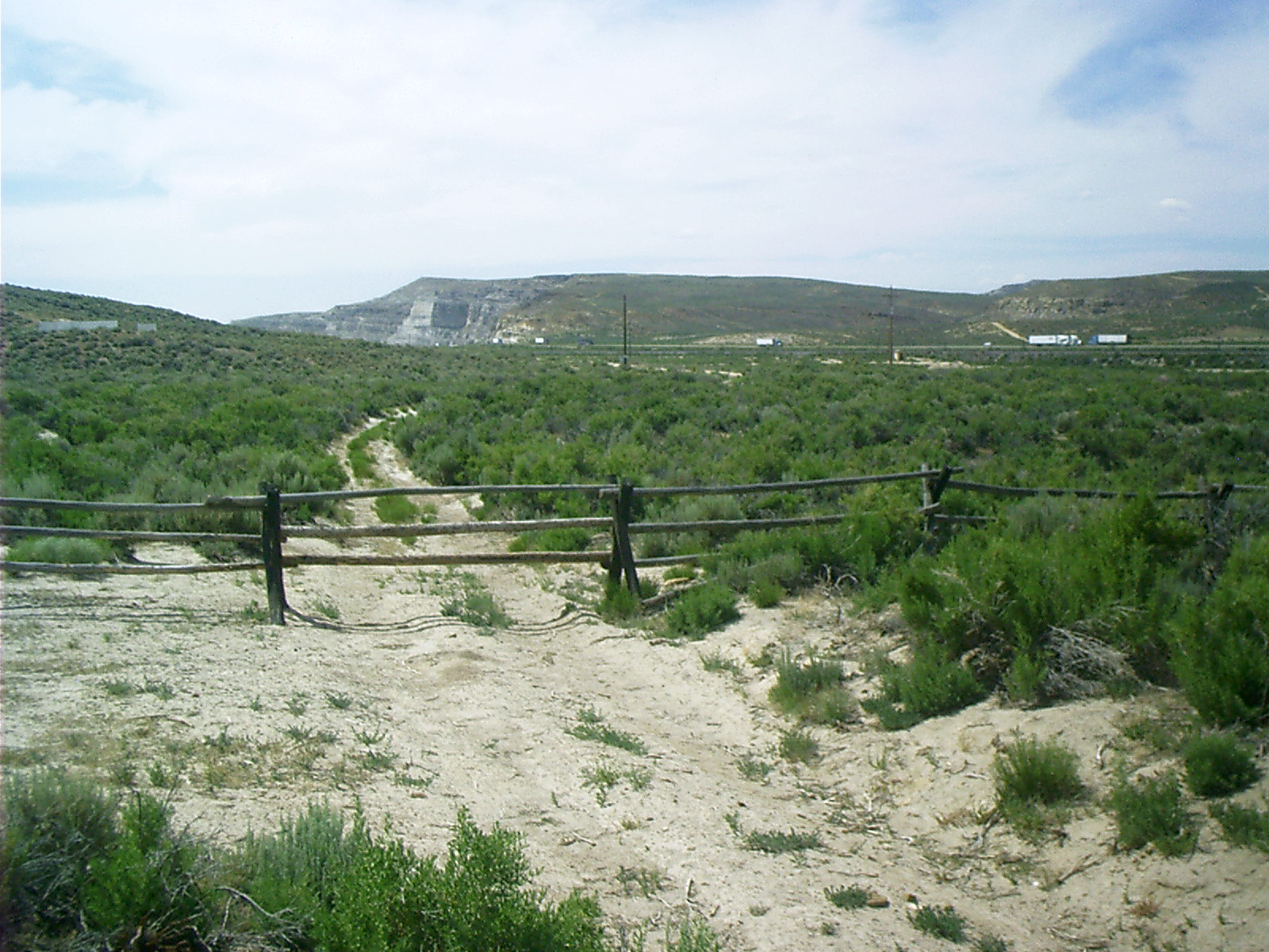
2007-06-15 11.58.24 — 0.2 MB — map
Cozad, NE
Topic: TransportationRemarks: "Rain Follows the Plow" is the conventional name for a now-debunked theory of climatology that was popular throughout the American West and Australia during the late 19th century.
According to the theory, increased human settlement in the region would result in an increased rainfall over time, rendering the land more fertile and lush as the population increased. As later historical records of rainfall would indicate, the theory was based on a faulty evidence arising from brief climatological fluctuations. The theory was later refuted by climatologists and is now regarded as a serious error.
The theory arose in the late 1860s and 1870s during the westward expansion of white settlement west of the Missouri River and across the 100th meridian west, the traditional boundary line between the humid and semi-arid portions of central North America.
• "Rain Follows the Plow." 18 June 2006. Wikipedia. 29 Mar. 2007. 1 Apr. 2007 <http://en.wikipedia.org/wiki/Rain_follows_the_plough>.
Resolution: 1200 x 1600 Portrait
Grade: C
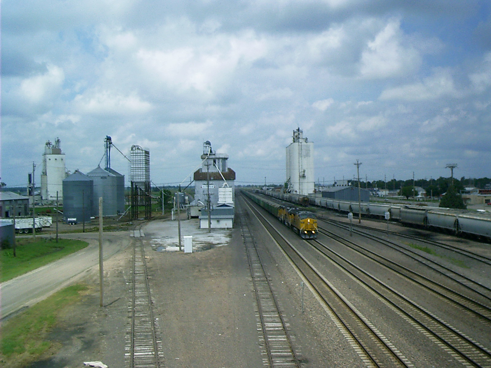
2007-06-15 12.07.00 — 0.4 MB — map
Loading Corn, Cozad, NE
Topic: Seeing the ElephantResolution: 1600 x 1200 Landscape
Grade: B
2007-06-15 12.09.24 — 0.4 MB — map
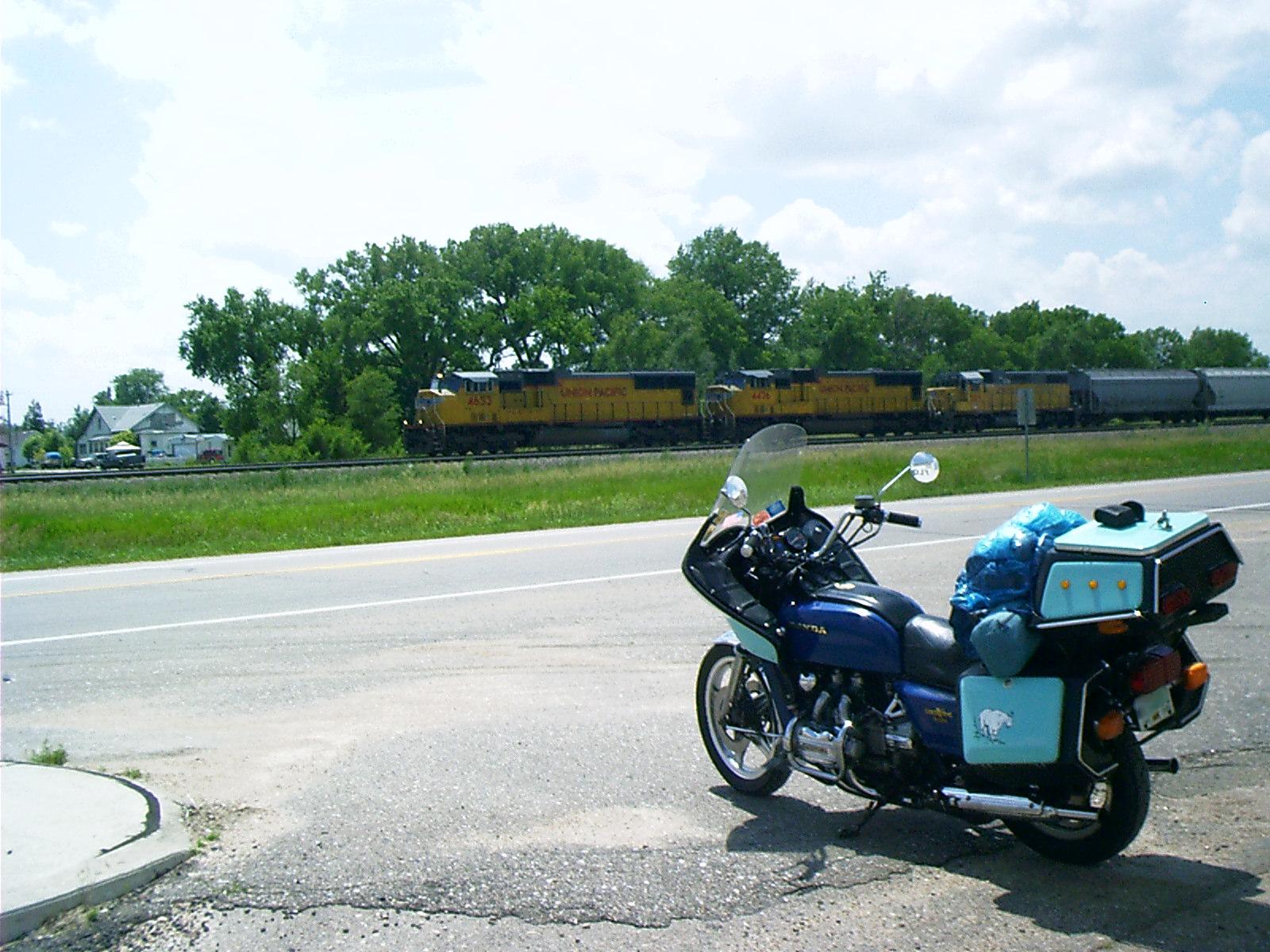
Union Pacific Hauling Crushed Stone, Cozad, NE
Topic: TransportationResolution: 1600 x 1200 Landscape
Grade: A
2007-06-15 12.45.34 — 0.7 MB — map
Pony Express Station, Gothenburg, NE
Topic: TransportationResolution: 1600 x 1200 Landscape
Grade: C
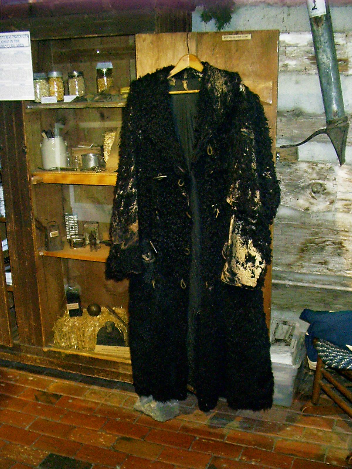
2007-06-15 12.53.38 — 0.3 MB — map
Buffalo Coat, Pony Express Station, Gothenburg, NE
Topic: The Fur TradeResolution: 1200 x 1600 Portrait
Grade: D
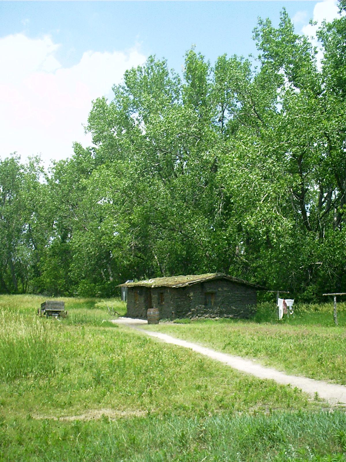
2007-06-15 13.16.02 — 0.4 MB — map
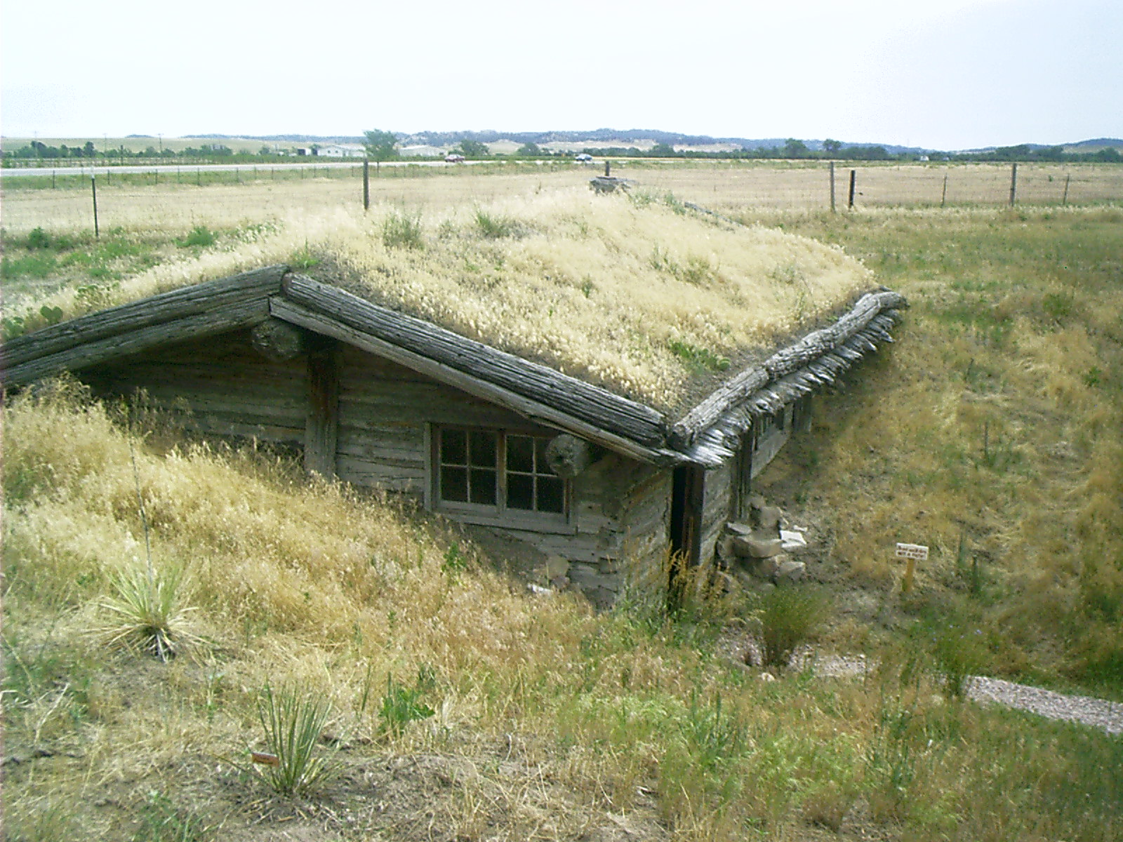
Replica Soddy, Gothenburg, NE
Topic: Seeing the ElephantResolution: 1200 x 1600 Portrait
Grade: B
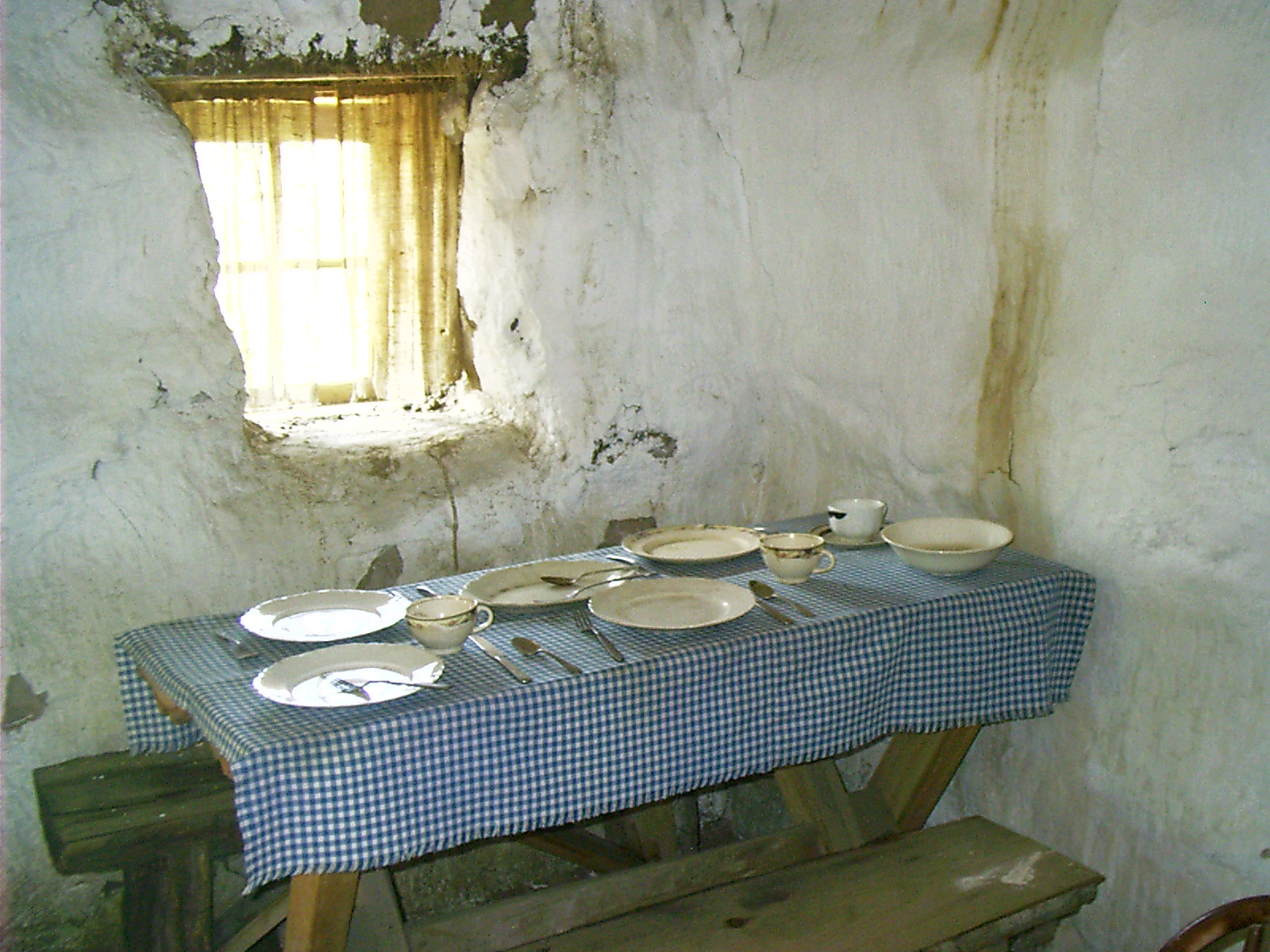
2007-06-15 13.21.26 — 0.5 MB — map
Soddy Interior, Gothenburg, NE - Flash
Topic: Seeing the ElephantResolution: 1600 x 1200 Landscape
Grade: A
2007-06-15 14.14.10 — 0.4 MB — map
Swedish Cemetery, Gothenburg, NE
Resolution: 1600 x 1200 LandscapeGrade: *
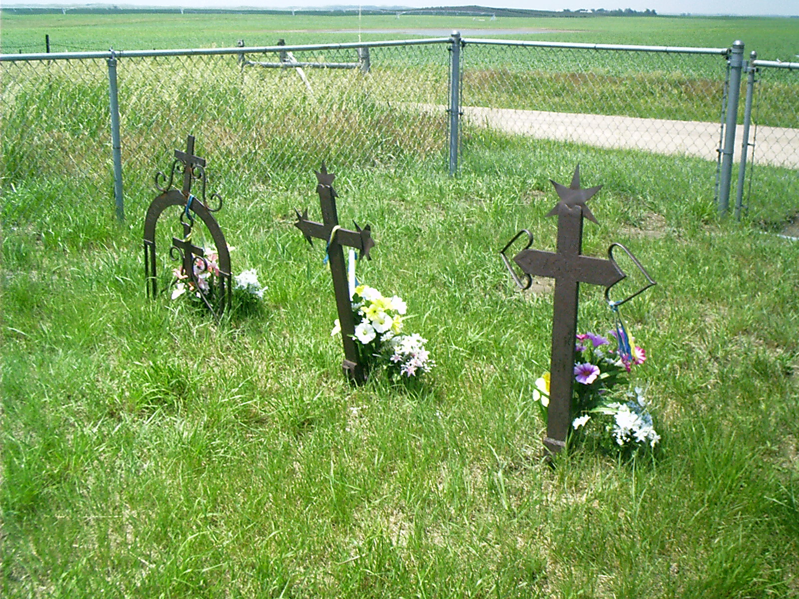
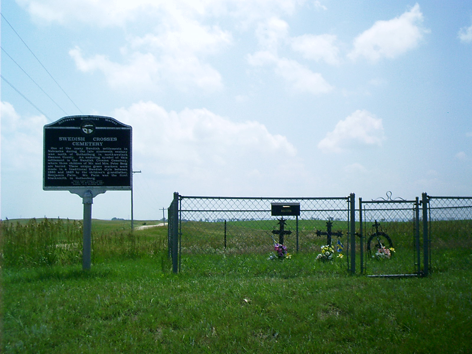
2007-06-15 14.15.16 — 0.8 MB — map
Swedish Cemetery, Gothenburg, NE
Topic: Seeing the ElephantRemarks: "In the early 1880's, Peter and Anna Berg — along with Anna's parents, the Benjamin Palms — came to Gothenburg from Helsingland, Sweden.
"Tragedy struck the Bergs on their prairie homestead when their first child, Singne Ester, died July 21, 1885, four months after her birth. Carl Alfred, their second child, died at the age of three months on September 14, 1886. Gustav Andrew, two years old, died August 19, 1889. The three children were buried on a knoll near the family farm.
"Benjamin Palm, the children's grandfather and Gothenburg's first blacksmith, is reported to have sent to Sweden for some of the steel with which he fashioned the crosses. The distinctive crosses, complete with elaborate scrollwork, hearts, and stars, each carry a Swedish inscription of the children's names and their dates of birth and death. The Bergs were blessed with four more children after the first three died."
• Gothenburg Chamber of Commerce. Swedish Crosses Cemetery. Couer d' Alene, ID: John F. Urwiller.
Resolution: 1600 x 1200 Landscape
Grade: C
2007-06-15 14.56.14 — 0.5 MB — map
Geraldine and UP Locomotive, Brady, NE
Resolution: 1600 x 1200 LandscapeGrade: D
2007-06-15 15.26.04 — 0.3 MB — map
Swallows on the Platte, North Platte, NE
Resolution: 1600 x 1200 LandscapeGrade: C
2007-06-15 15.46.26 — 0.7 MB — map
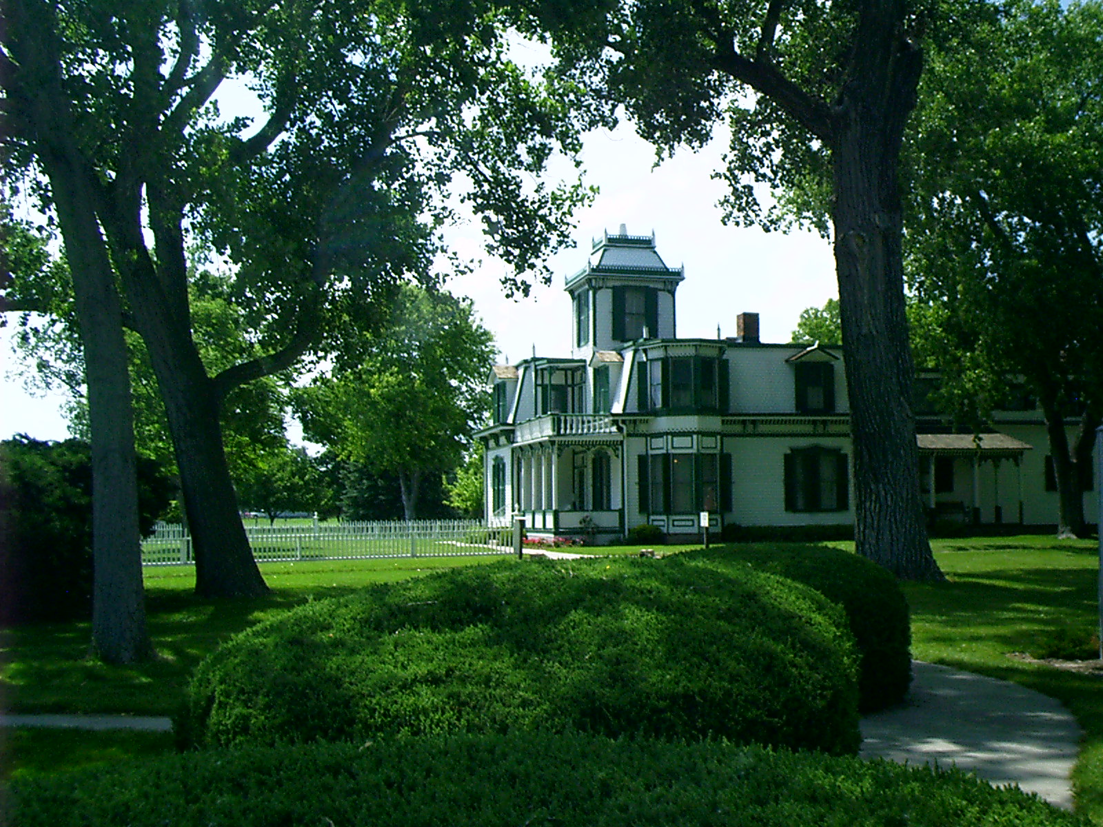
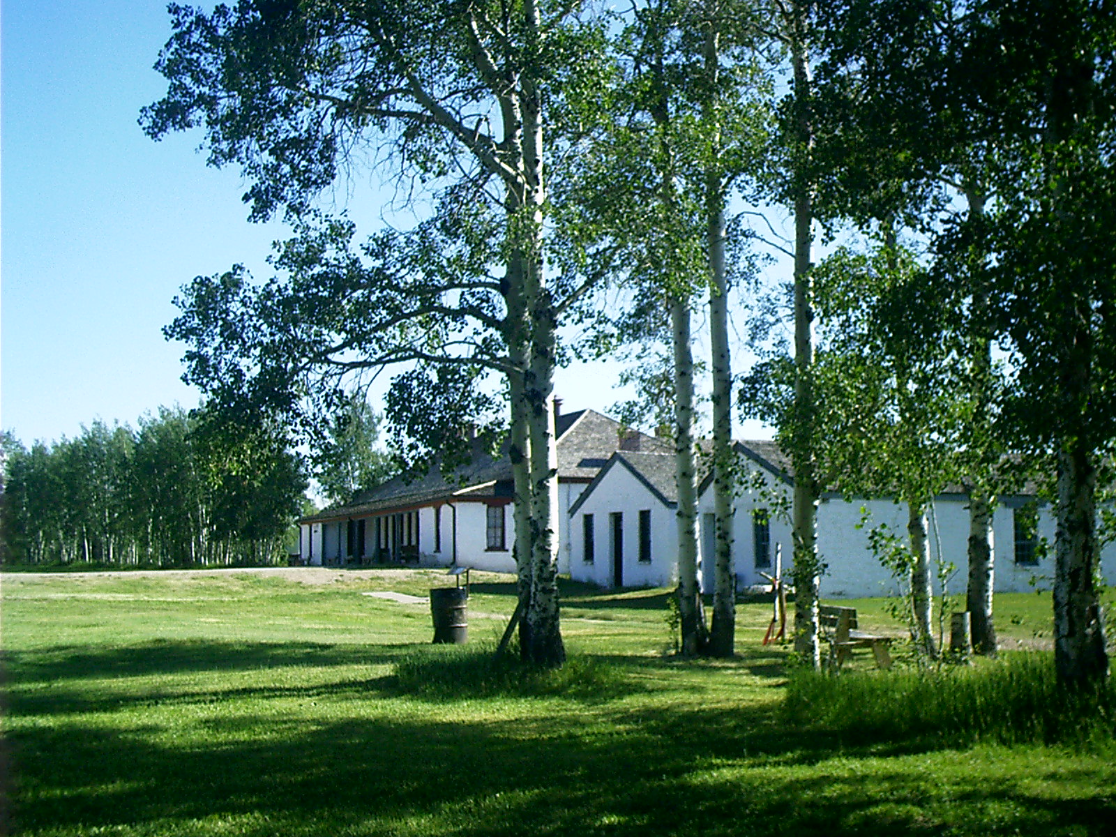
Scouts Rest, North Platte, NE
Topic: DefenseResolution: 1600 x 1200 Landscape
Grade: B

2007-06-15 16.26.46 — 0.3 MB — map
McClellan Saddle, Scouts Rest, North Platte, NE
Resolution: 1200 x 1600 PortraitGrade: C
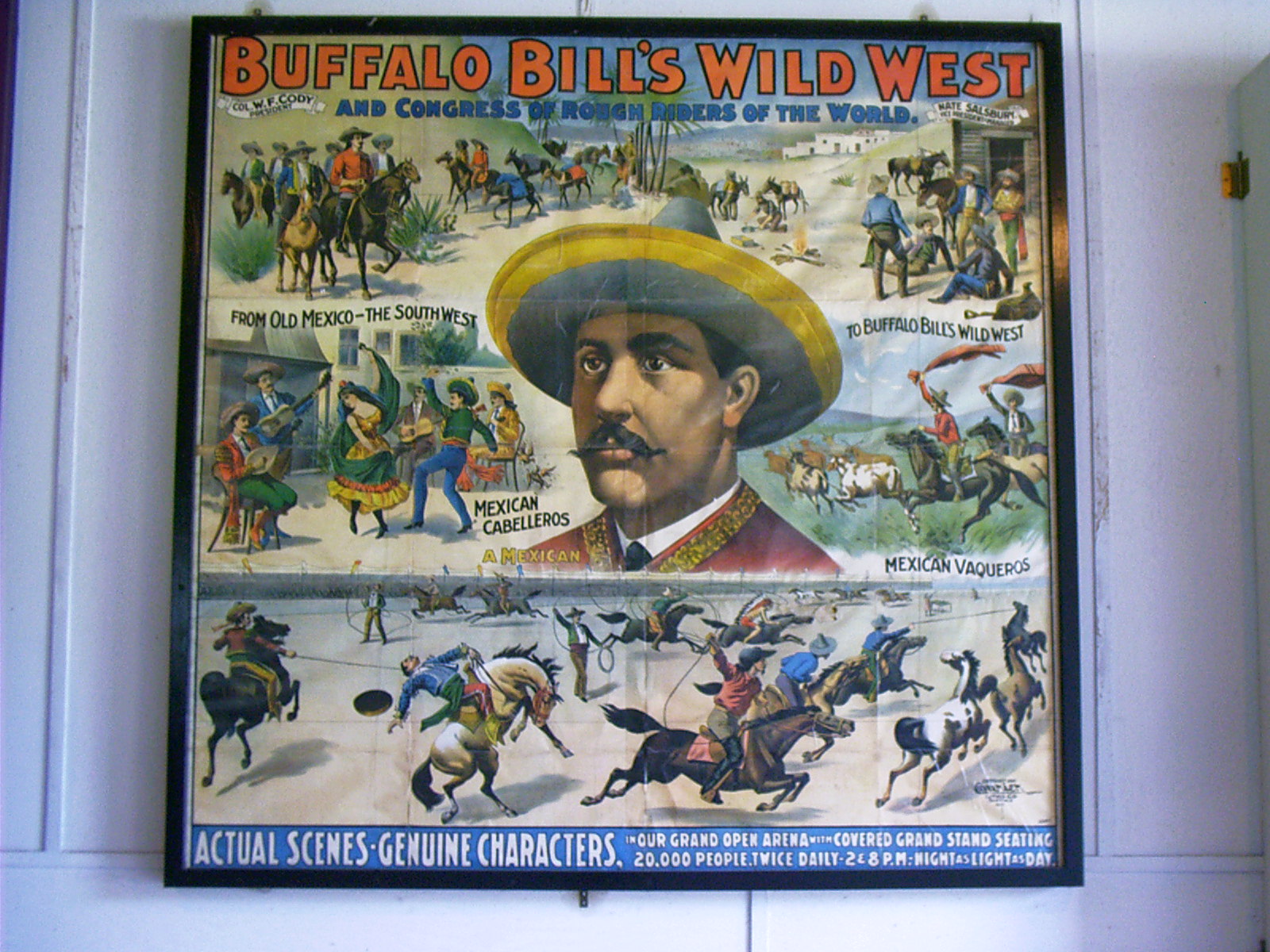
2007-06-15 16.31.56 — 0.5 MB — map
Circus Poster, Scouts Rest, North Platte, NE
Topic: DefenseResolution: 1600 x 1200 Landscape
Grade: B

2007-06-15 19.52.22 — 0.4 MB — map
Swallows over a Canal, Keystone, NE
Remarks: Lake McConaughy Dam forms the horizon.Resolution: 1600 x 1200 Landscape
Grade: D

2007-06-15 19.59.50 — 0.4 MB — map
Combined Church, Keystone, NE
Remarks: "The Little Church" was the inspiration of the wife of a wealthy rancher, Bill Paxton, Jr., and the "King's Daughters," a teen-age girls' club. The one-story board and batten structure was erected in 1908 in Keystone, a small unincorporated village. Due to the diverse faiths of Keystone residents, the church was built to accommodate both Protestant and Catholic services. Apses protrude from both ends of the building, creating space for a Catholic altar at the north and a Protestant lectern at the south. The backs of the pews are hinged so that the seating can be reversed. This church is the only known building of its type in Nebraska and one of very few such structures in the United States.• Nebraska National Register Sites in Keith County. 7 Mar. 2007. Nebraska State Historical Society. 30 June 2007 <http://www.nebraskahistory.org/histpres/nebraska/keith.htm>.
Resolution: 1600 x 1200 Landscape
Grade: C
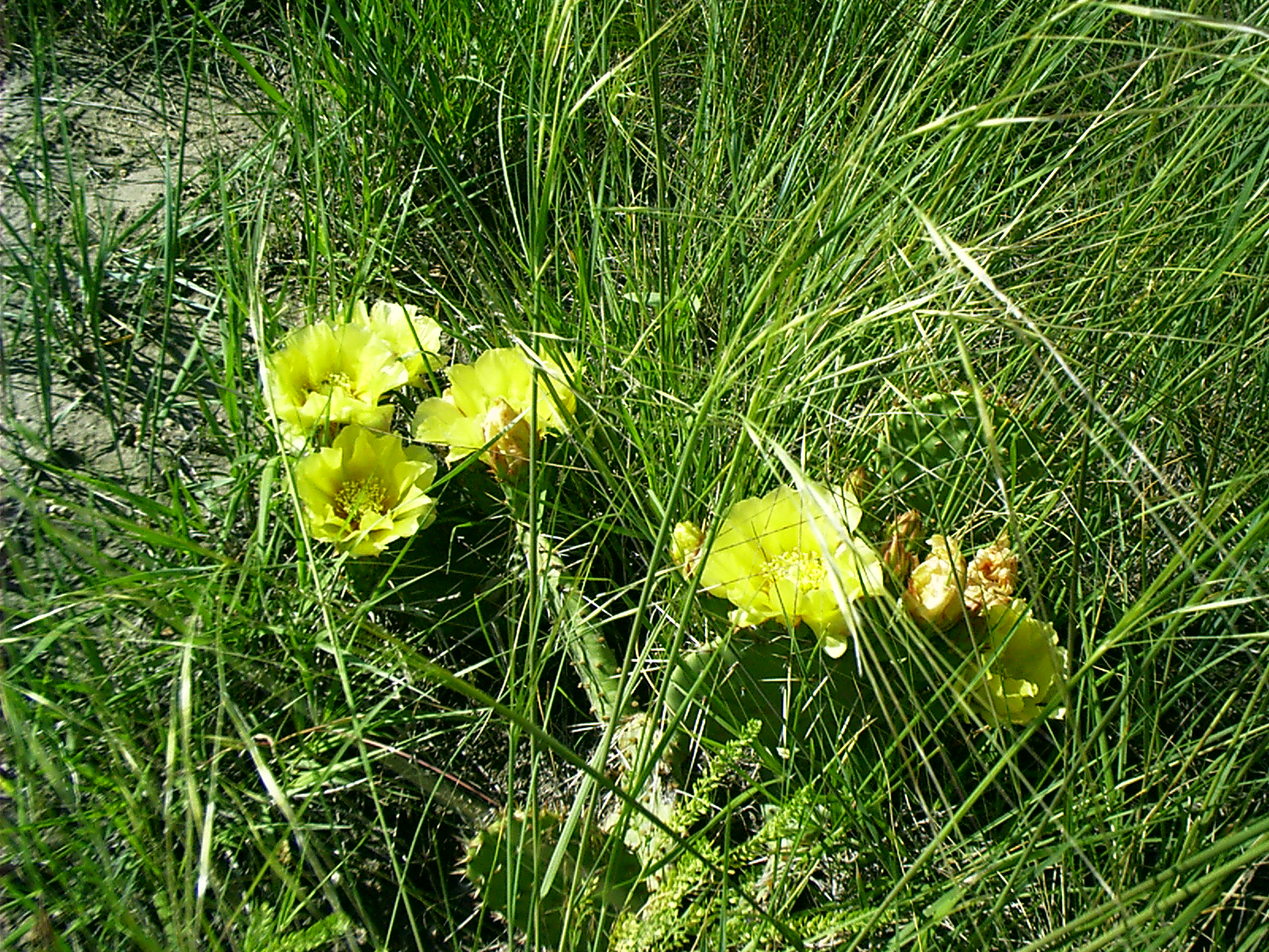
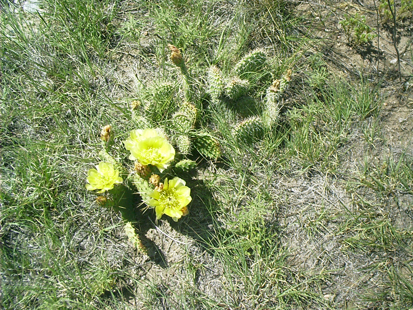
2007-06-16 09.23.28 — 1.0 MB — map
Prickly Pear, Windlass Hill, NE
Resolution: 1600 x 1200 LandscapeGrade: D
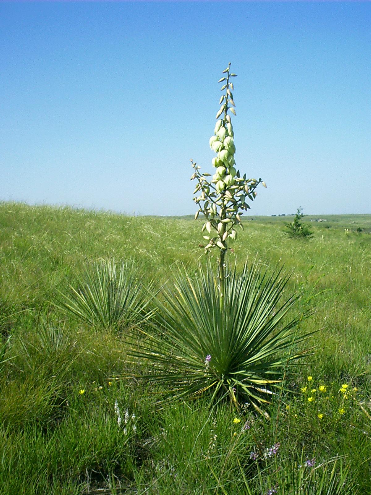
2007-06-16 09.33.50 — 0.4 MB — map
Yucca, Windlass Hill, NE
Topic: Seeing the ElephantResolution: 1200 x 1600 Portrait
Grade: A

2007-06-16 09.43.10 — 0.5 MB — map
Windlass Hill, NE
Topic: Seeing the ElephantResolution: 1600 x 1200 Landscape
Grade: B
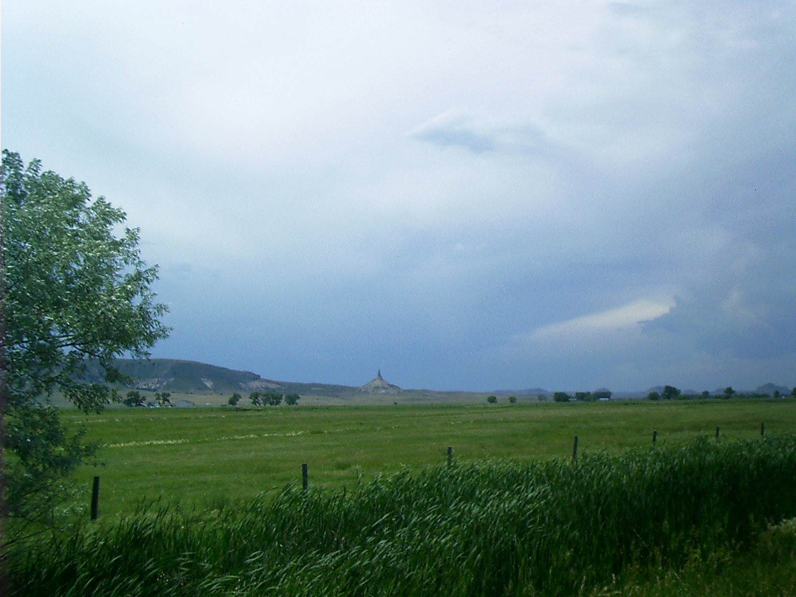
2007-06-16 13.35.50 — 0.4 MB — map
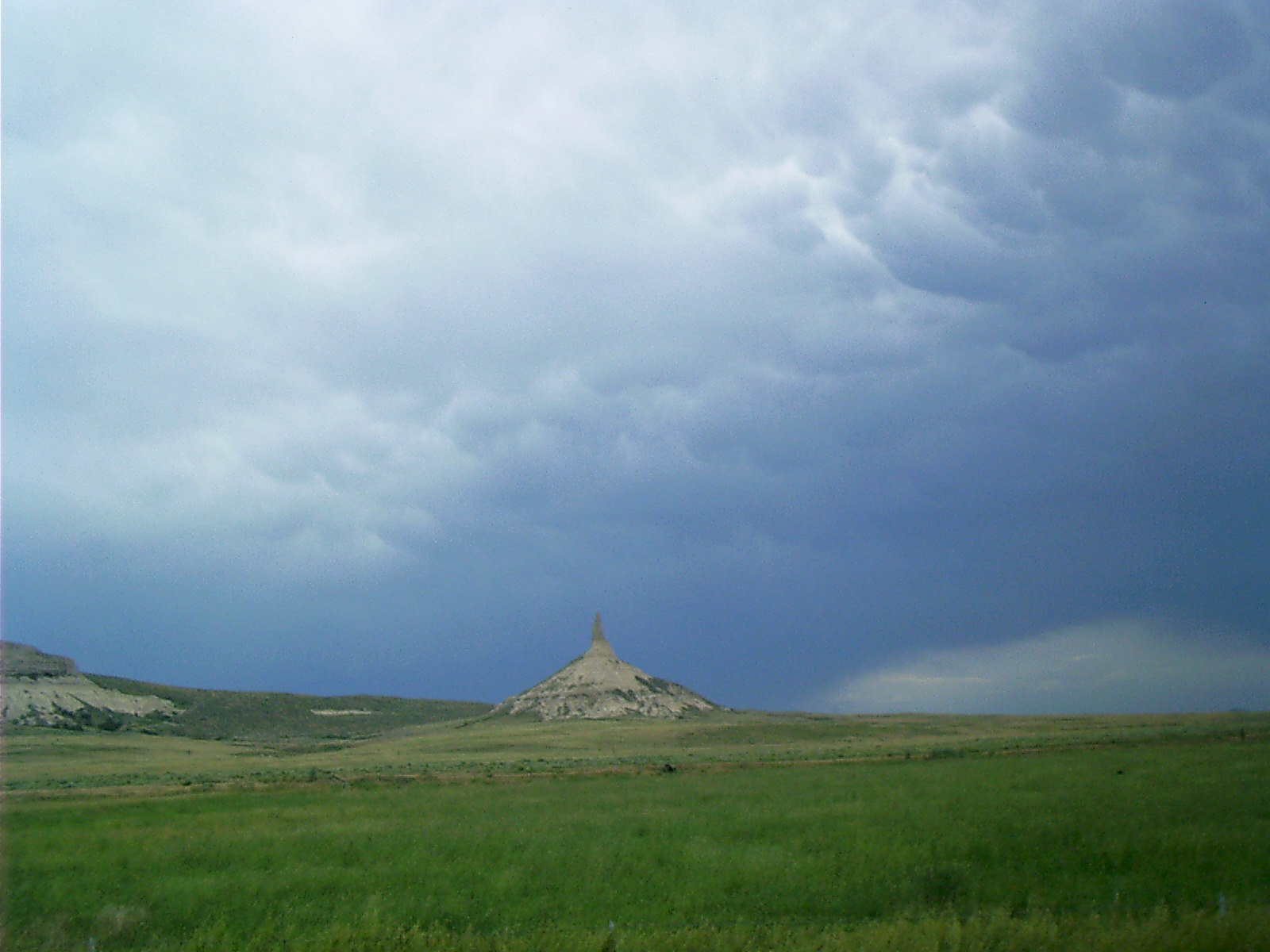
Chimney Rock, NE
Topic: Seeing the ElephantResolution: 1600 x 1200 Landscape
Grade: B
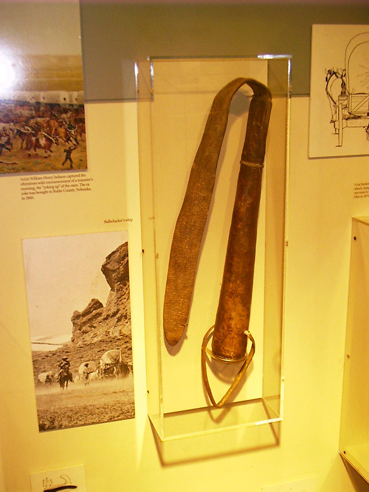
2007-06-16 14.23.40 — 0.2 MB — map
Bull Whacker, Chimney Rock, NE
Topic: Seeing the ElephantResolution: 1200 x 1600 Portrait
Grade: C
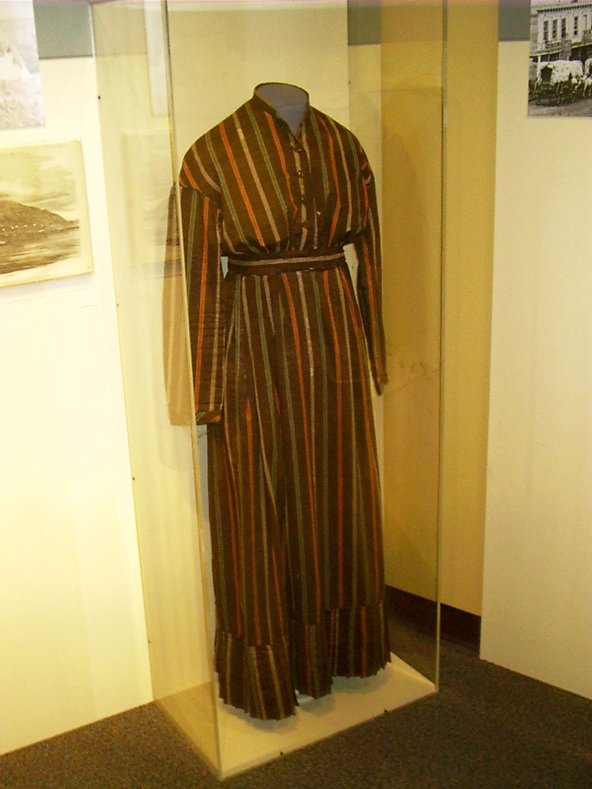
2007-06-16 14.27.14 — 0.2 MB — map
Dress, Chimney Rock, NE
Topic: Seeing the ElephantResolution: 1200 x 1600 Portrait
Grade: C
2007-06-16 14.45.40 — 0.2 MB — map
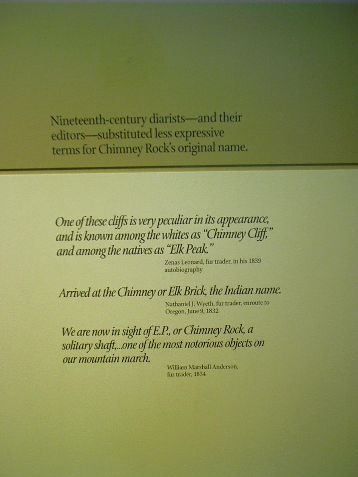
Marker, Elk Penis, Chimney Rock, NE
Remarks: "Nineteenth-century diarists — and their editors — substituted less expressive terms for chimney Rock's original name."'One of these cliffs is very peculiar in its appearance, and is known among the whites as "Chimney Cliff," and among the natives as "Elk Peak."' Zenas Leonard, fur trader, in his 1839 autobiography
"'Arrived at the Chimney or Elk Brick, the Indian Name.' Nathaniel J. Wyeth, fur trader, enroute to Oregon, June 9, 1832
"'We are now in sight of E. P. or Chimney Rock, a solitary shaft, … one of the most notorious objects on our mountain march.' William Marshall Anderson, fur trader, 1834"
• "'Elk Penis' — Chimney Rock's Original Name." Exhibit. 16 June 2007. Chimney Rock National Historic Site, Bayard, NE.
Resolution: 1200 x 1600 Portrait
Grade: *

2007-06-16 14.45.54 — 0.3 MB — map
Marker, Elk Penis, Chimney Rock, NE
Remarks: "According to early fur traders, Native Americans named the rock after the penis of the adult male elk. This made more sense to people who had lived for centuries in the natural world on the plains than comparing the rock to a feature from a white man's building. Prim and proper Anglo-Americans, though, overwhelmingly preferred the more delicate 'chimney.'"• "'Elk Penis' — Chimney Rock's Original Name." Exhibit. 16 June 2007. Chimney Rock National Historic Site, Bayard, NE.
Resolution: 1200 x 1600 Portrait
Grade: *
2007-06-16 14.58.18 — 0.3 MB — map
Chimney Rock, NE
Resolution: 1600 x 1200 LandscapeGrade: C
2007-06-16 15.15.46 — 0.3 MB — map
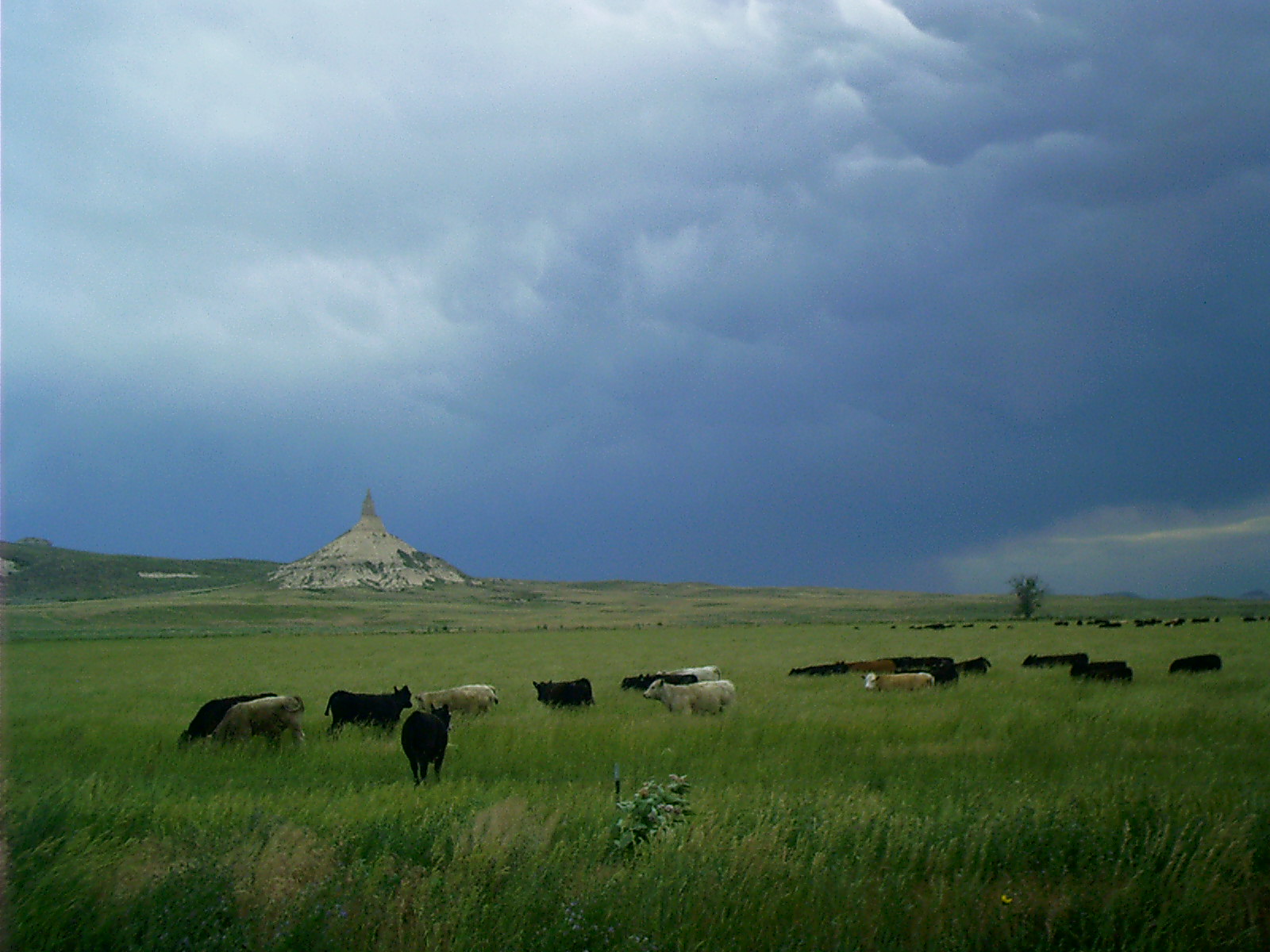
Cattle, Chimney Rock, NE
Topic: Seeing the ElephantResolution: 1600 x 1200 Landscape
Grade: B
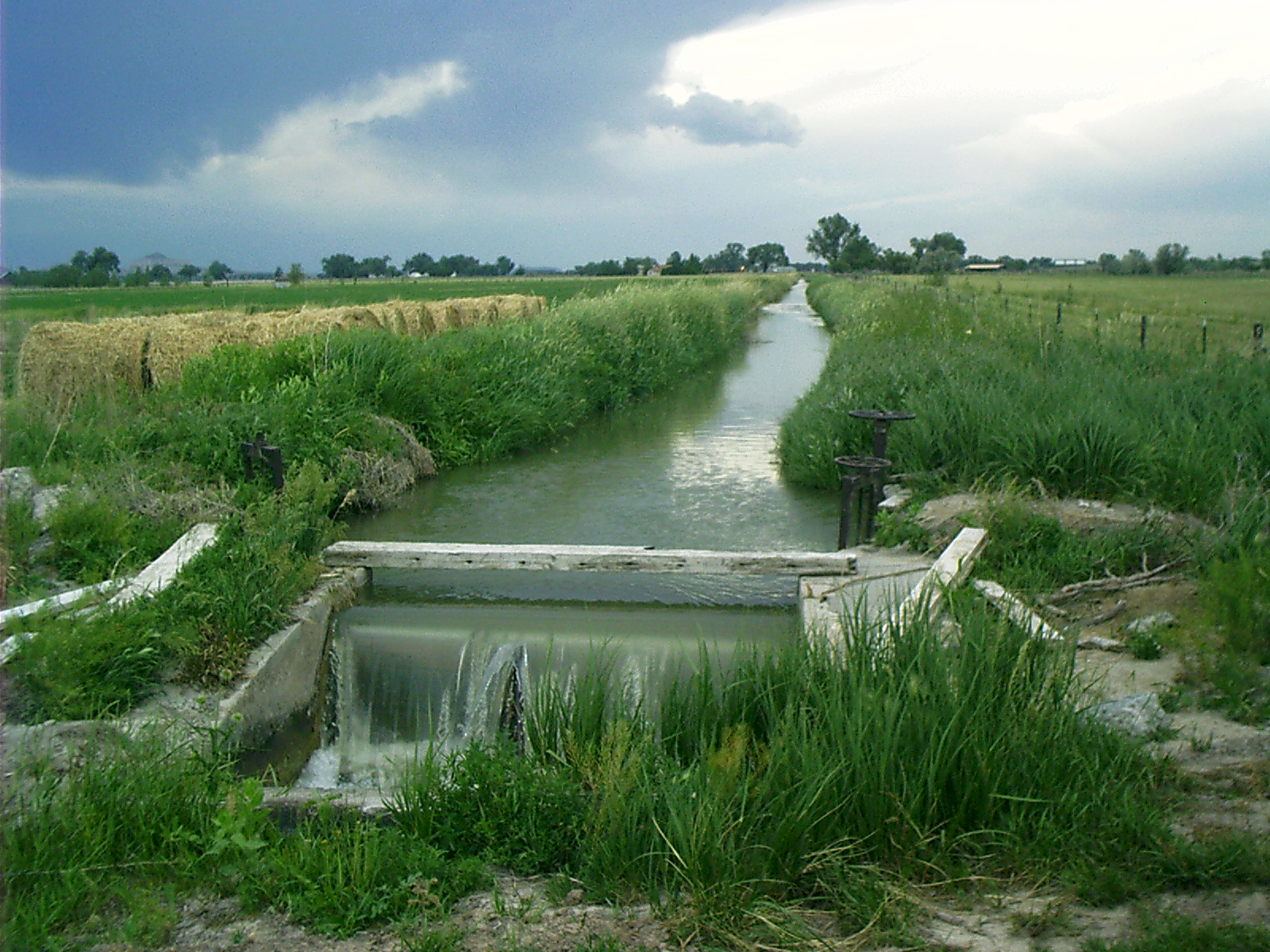
2007-06-16 15.21.30 — 0.5 MB — map
Irrigation Canal, Chimney Rock, NE
Topic: Seeing the ElephantResolution: 1600 x 1200 Landscape
Grade: A
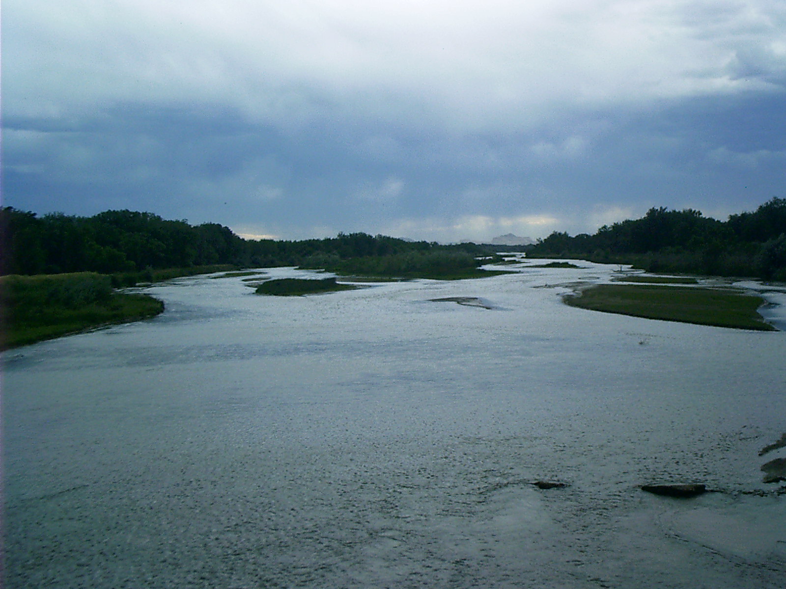
2007-06-16 16.51.26 — 0.4 MB — map
North Platte, Bayard, NE
Topic: The Fur TradeResolution: 1600 x 1200 Landscape
Grade: B
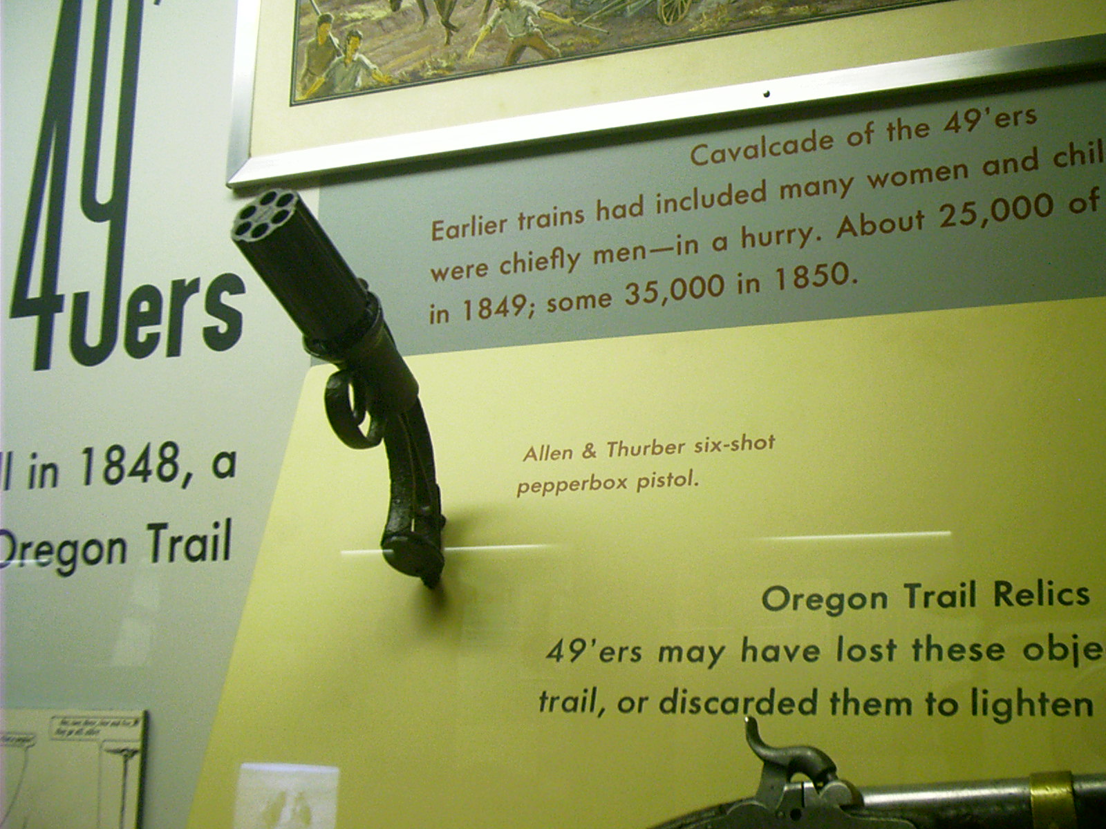
2007-06-16 17.37.10 — 0.4 MB — map
Pepperbox Pistol, Scotts Bluff National Monument
Topic: ExtractionResolution: 1600 x 1200 Landscape
Grade: D
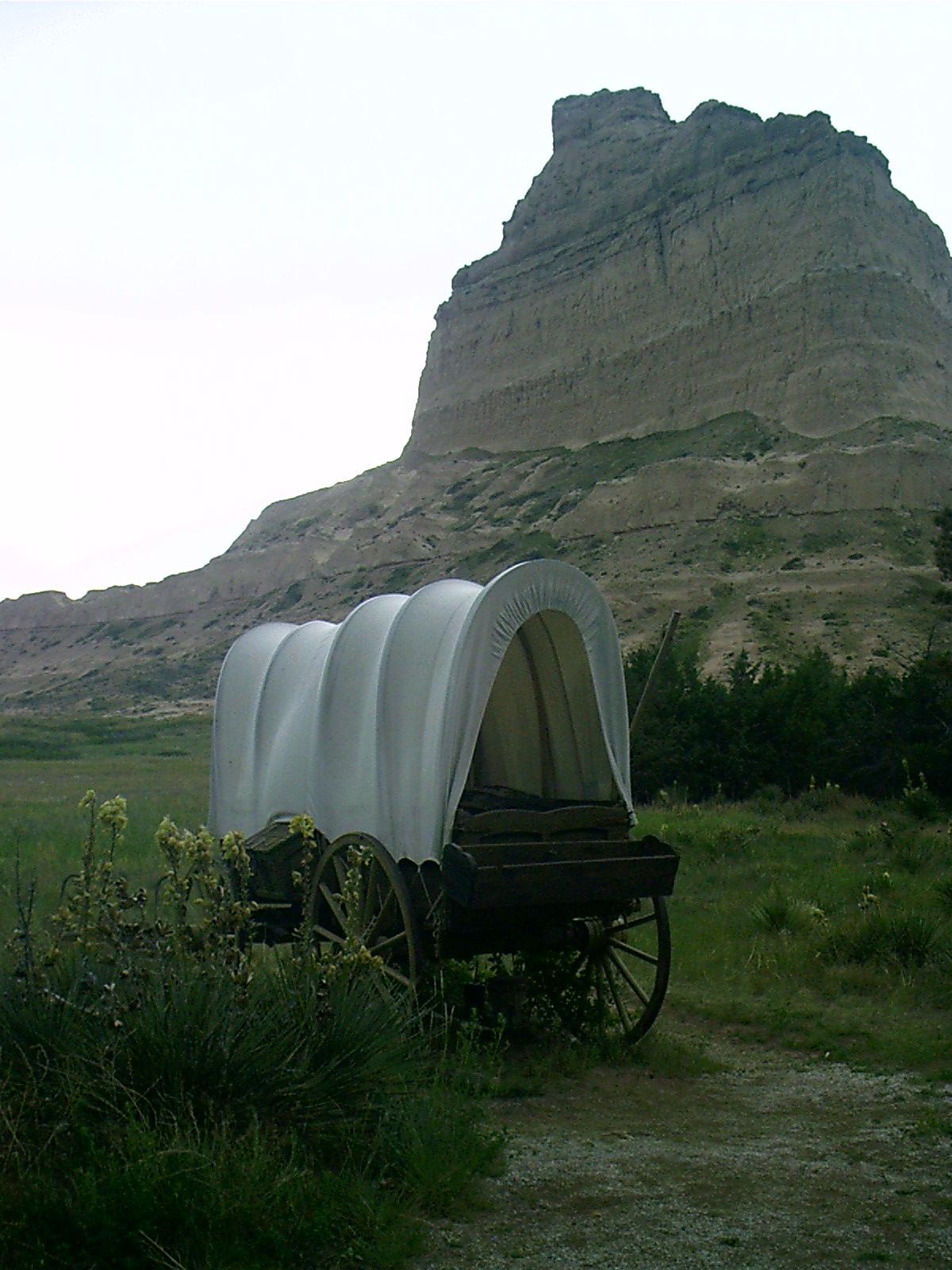
2007-06-16 18.00.46 — 0.2 MB — map
Covered Wagon, Rear, Scotts Bluff National Monument
Topic: Seeing the ElephantResolution: 1200 x 1600 Portrait
Grade: D

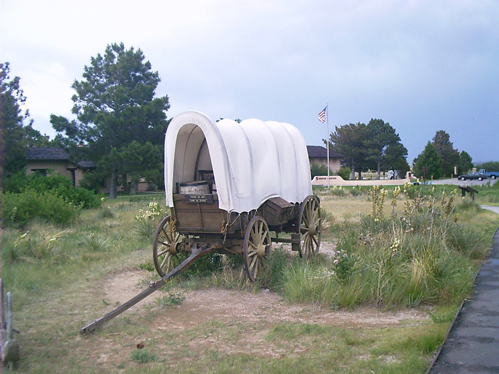
2007-06-16 18.01.54 — 0.5 MB — map
Conestoga Wagon, Front, Scotts Bluff National Monument
Topic: DefenseResolution: 1600 x 1200 Landscape
Grade: C
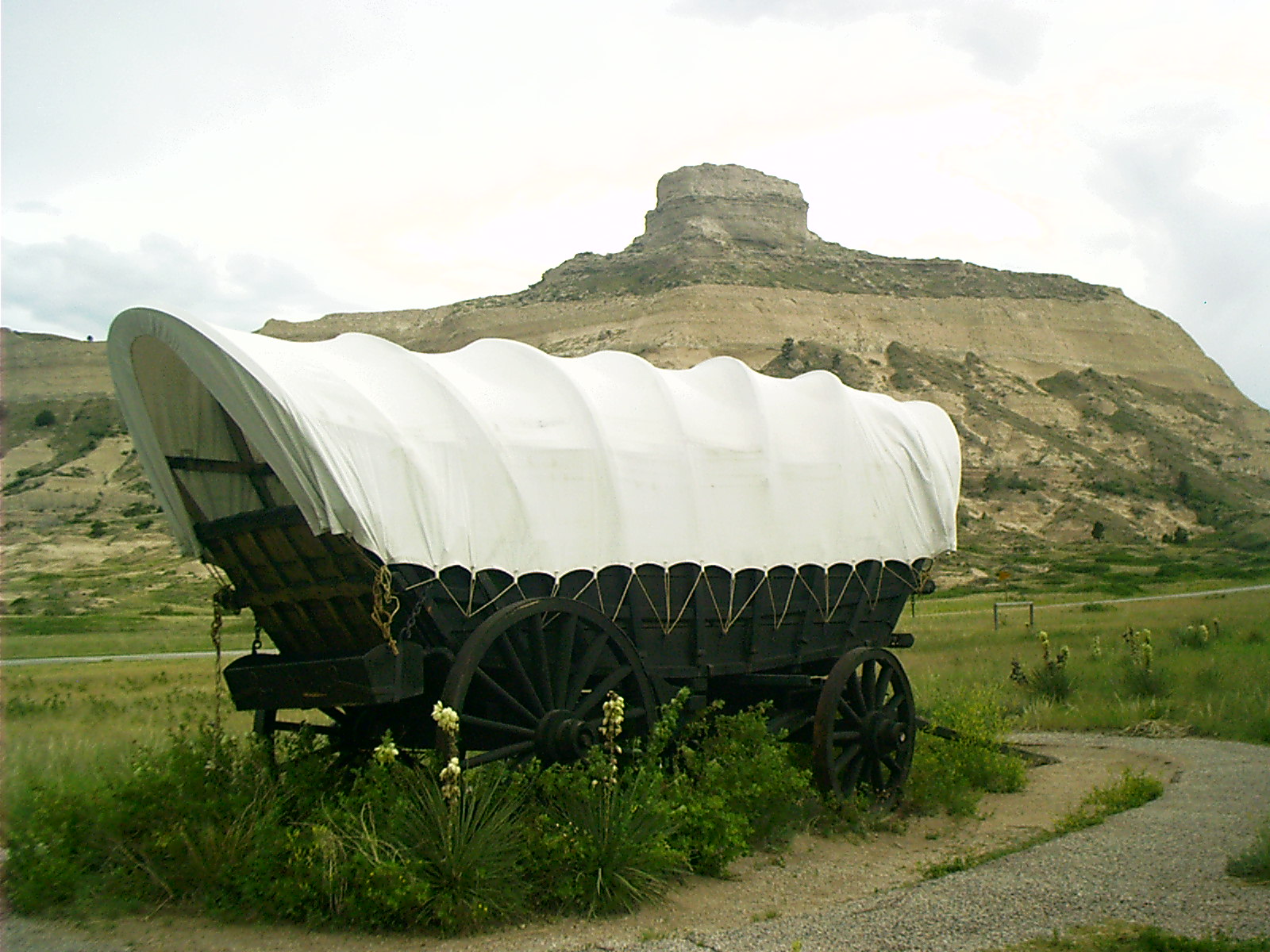
2007-06-16 18.02.18 — 0.5 MB — map
Covered Wagon, Front, Scotts Bluff National Monument
Topic: Seeing the ElephantResolution: 1600 x 1200 Landscape
Grade: C
2007-06-16 18.03.56 — 0.4 MB — map
Conestoga Wagon, Rear, Scotts Bluff National Monument
Topic: DefenseResolution: 1600 x 1200 Landscape
Grade: C
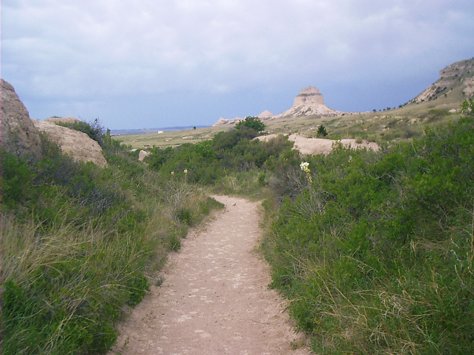
2007-06-16 18.19.48 — 0.5 MB — map
Oregon Trail, Scotts Bluff National Monument
Topic: Seeing the ElephantResolution: 1600 x 1200 Landscape
Grade: D
2007-06-16 18.28.20 — 0.4 MB — map
Geraldine, Scotts Bluff National Monument
Topic: TransportationResolution: 1600 x 1200 Landscape
Grade: C
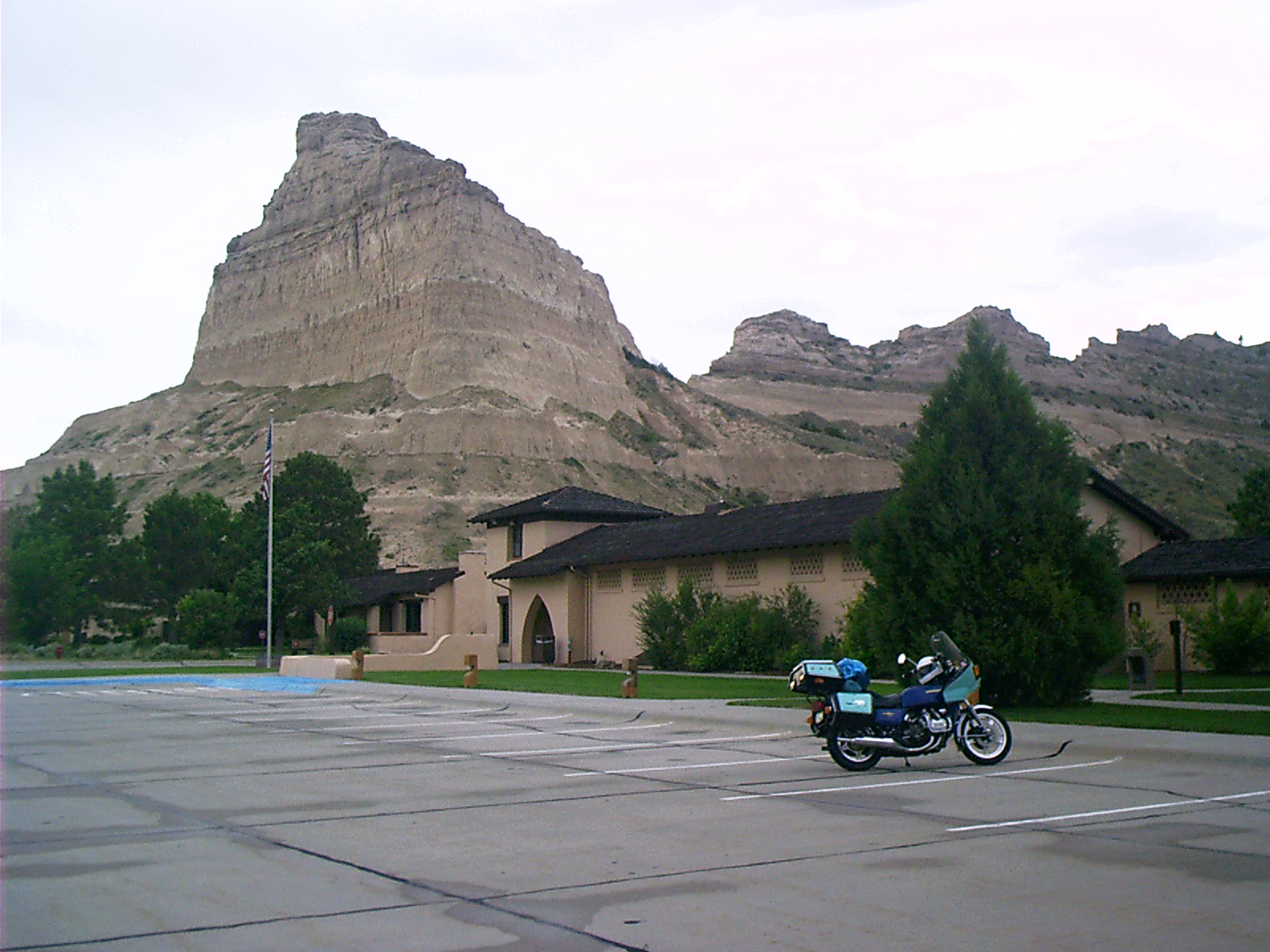
2007-06-16 18.29.16 — 0.3 MB — map
Scotts Bluff National Monument
Resolution: 1600 x 1200 LandscapeGrade: D
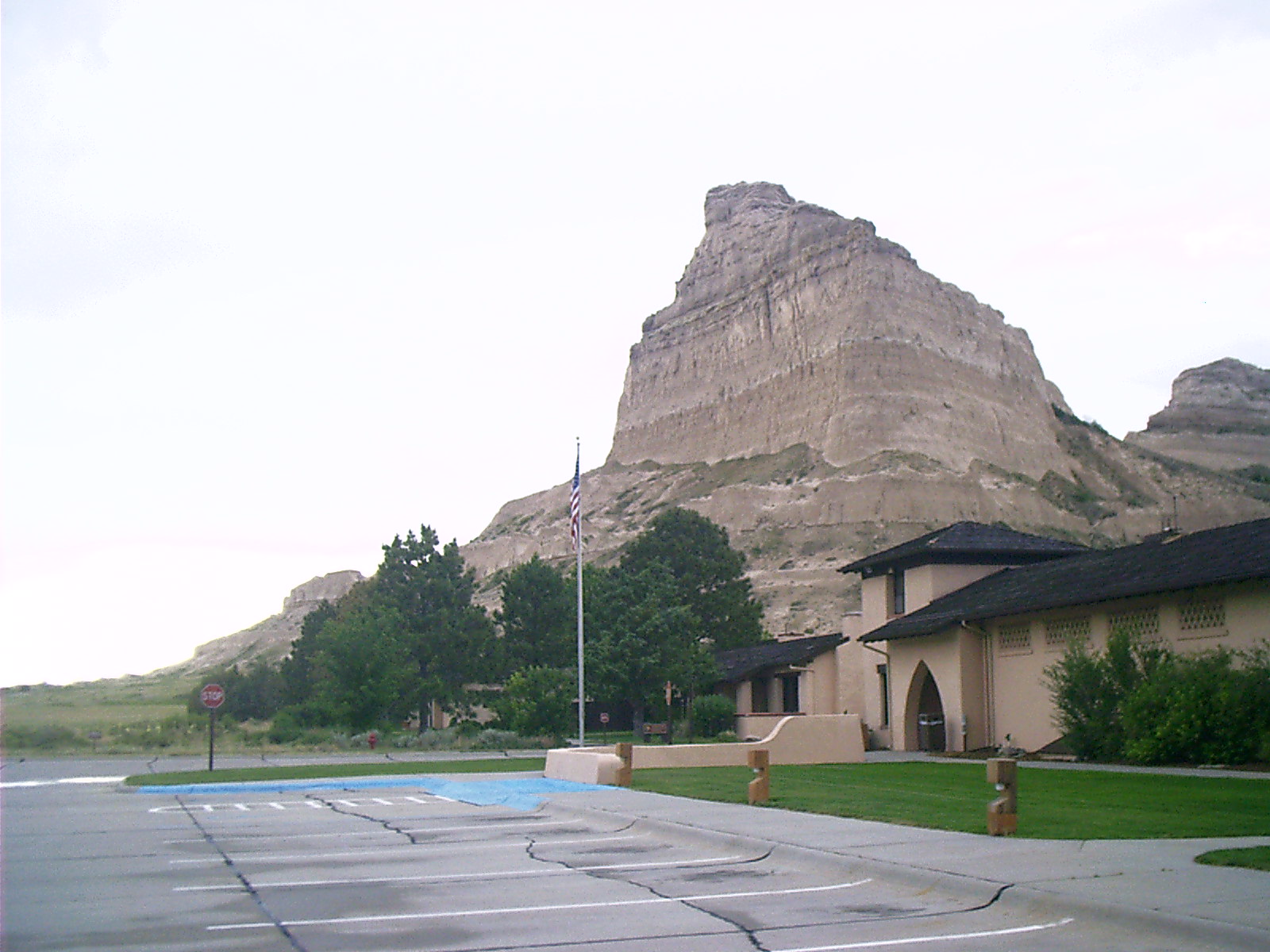
2007-06-16 18.36.22 — 0.6 MB — map
Scotts Bluff National Monument
Topic: The Fur TradeResolution: 1600 x 1200 Landscape
Grade: C
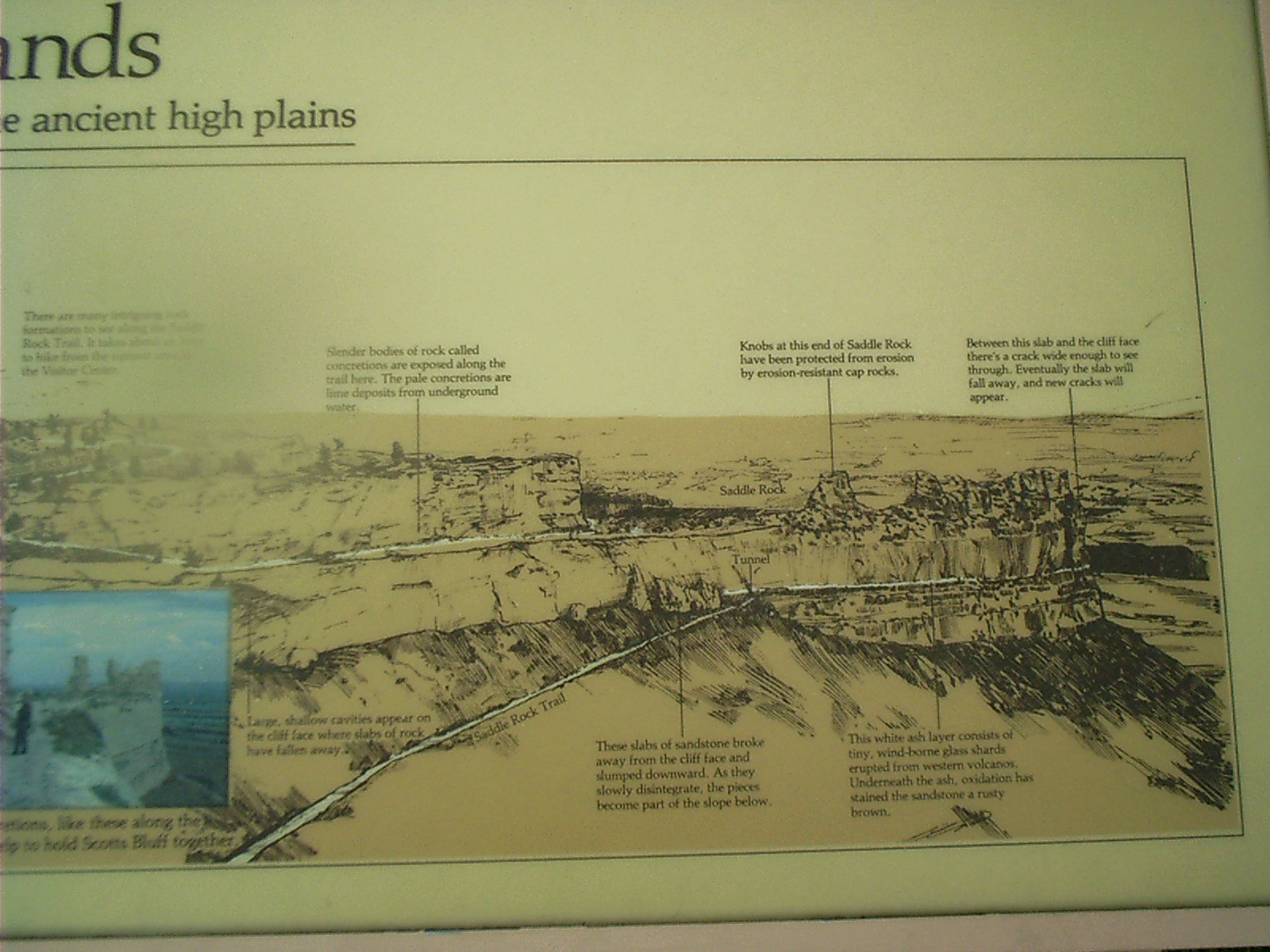
2007-06-16 18.42.02 — 0.4 MB — map
Marker, Scotts Bluff National Monument
Resolution: 1600 x 1200 LandscapeGrade: *

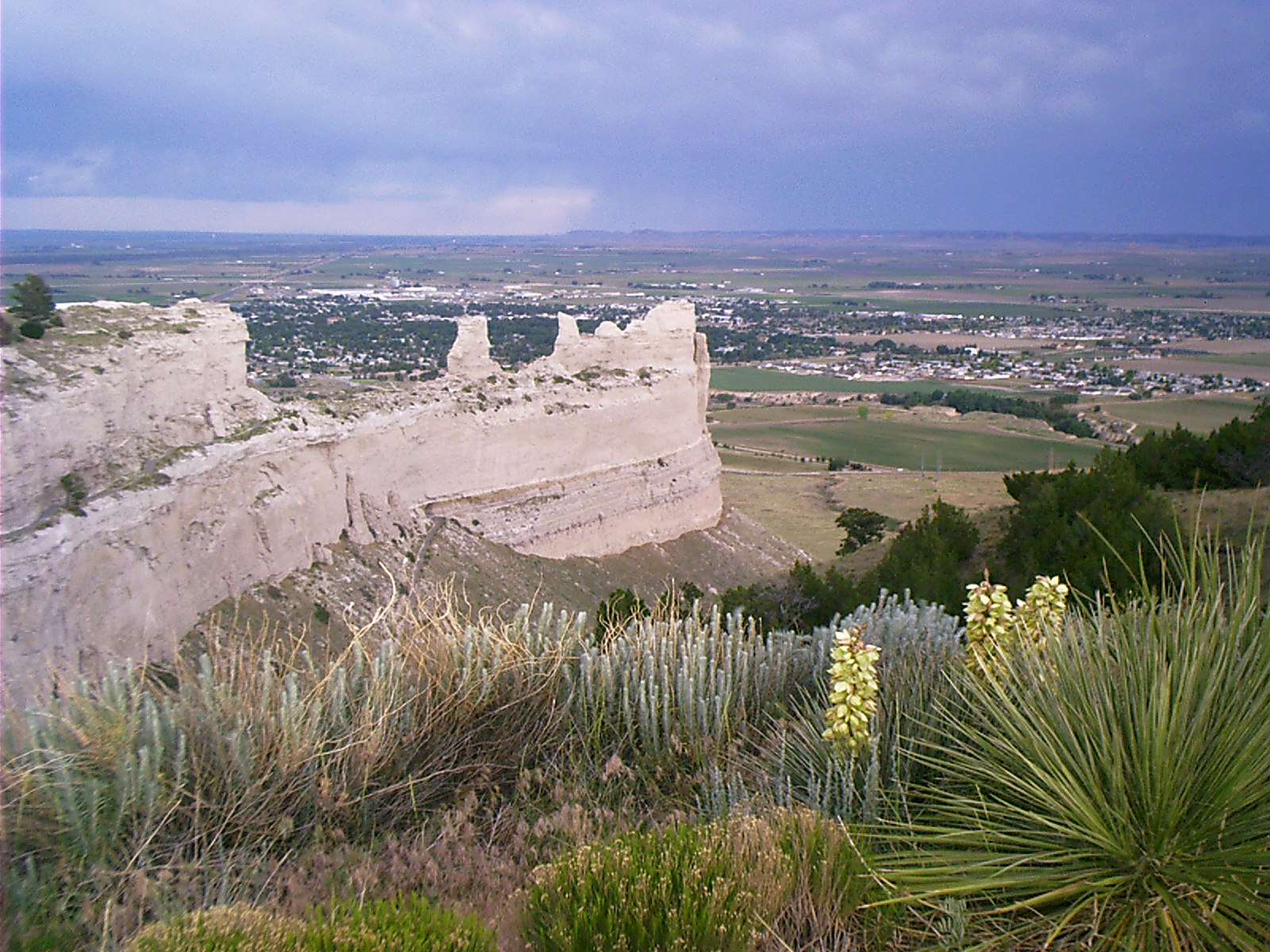
2007-06-16 18.48.20 — 0.4 MB — map
Pass Road, Scotts Bluff National Monument
Topic: Seeing the ElephantResolution: 1600 x 1200 Landscape
Grade: C
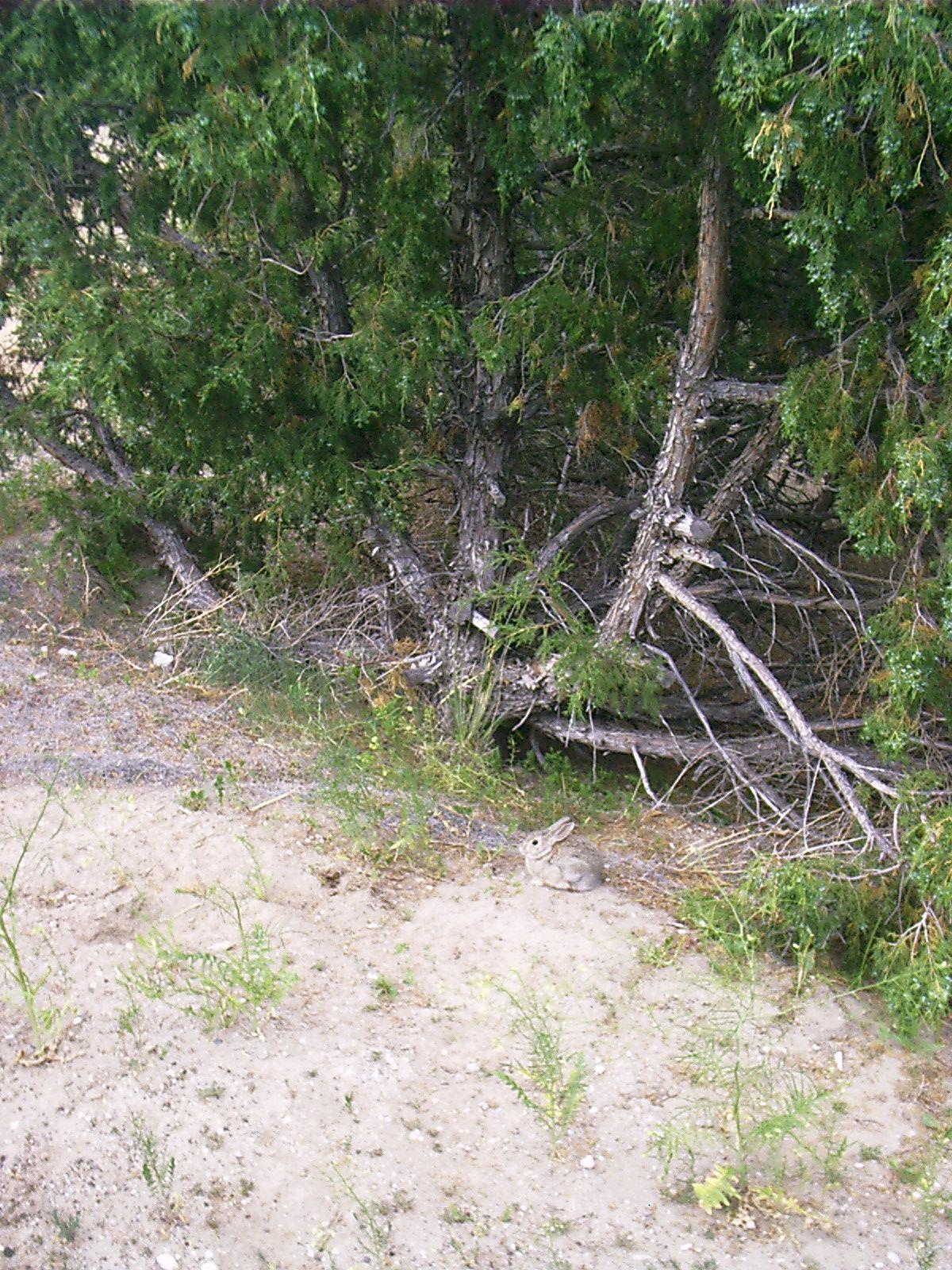
2007-06-16 18.51.06 — 0.4 MB — map
Rabbit, Scotts Bluff National Monument
Resolution: 1200 x 1600 PortraitGrade: D
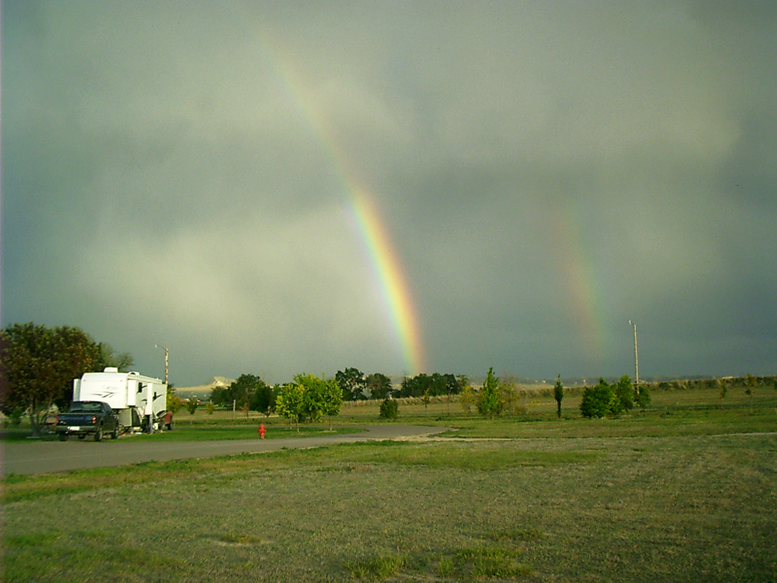
2007-06-16 19.46.40 — 0.4 MB — map
Rainbow, Scotts Bluff National Monument
Resolution: 1600 x 1200 LandscapeGrade: D
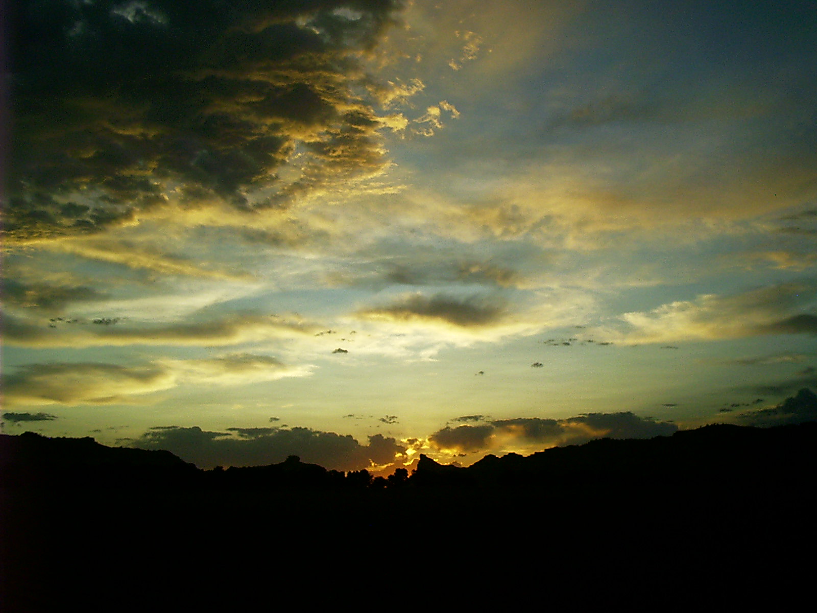
2007-06-16 20.29.44 — 0.3 MB — map
Sunset, Scotts Bluff National Monument
Topic: The Fur TradeResolution: 1600 x 1200 Landscape
Grade: B
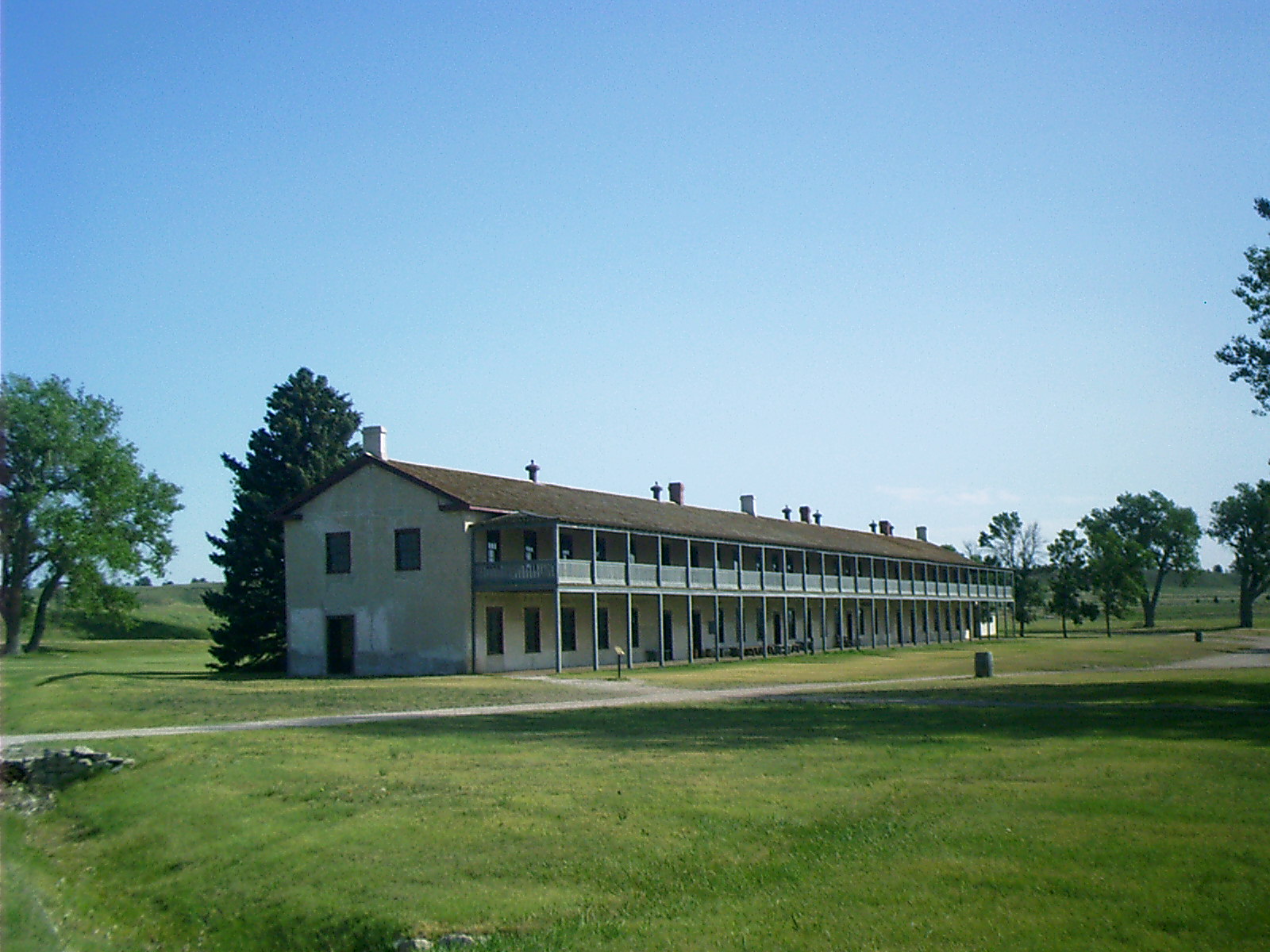
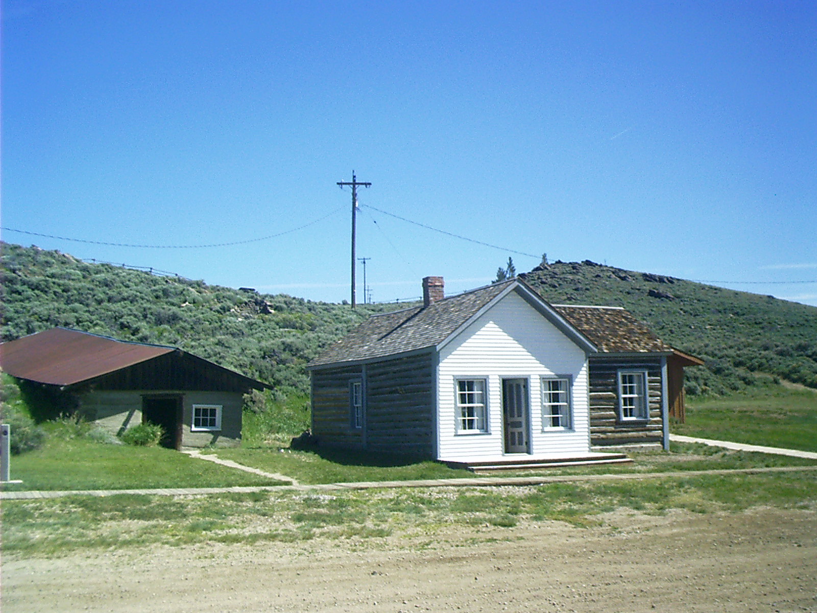
2007-06-17 08.54.26 — 0.4 MB — map
Barracks, Fort Laramie
Topic: DefenseResolution: 1600 x 1200 Landscape
Grade: C
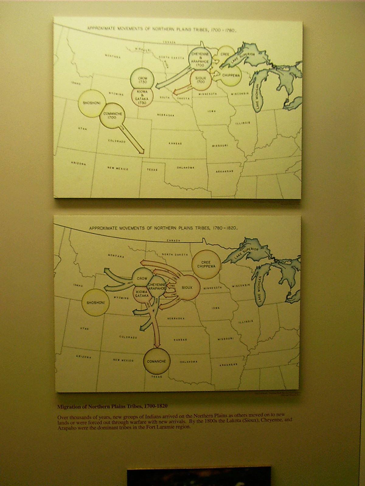
2007-06-17 09.26.14 — 0.2 MB — map
Marker, Diaspora, Fort Laramie
Resolution: 1200 x 1600 PortraitGrade: *
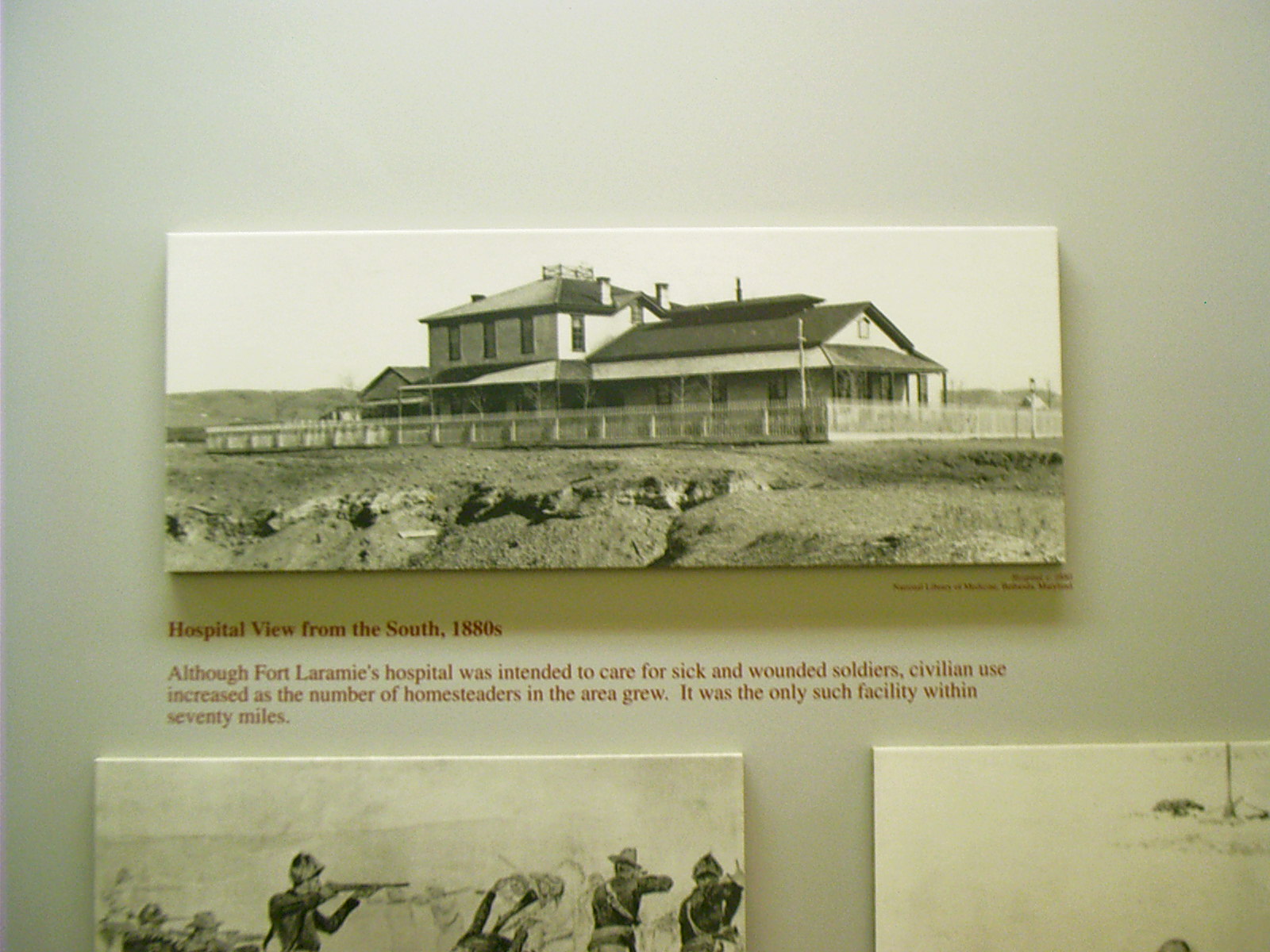
2007-06-17 09.36.14 — 0.3 MB — map
Marker, Hospital, Fort Laramie
Remarks: Historic photo.Resolution: 1600 x 1200 Landscape
Grade: *

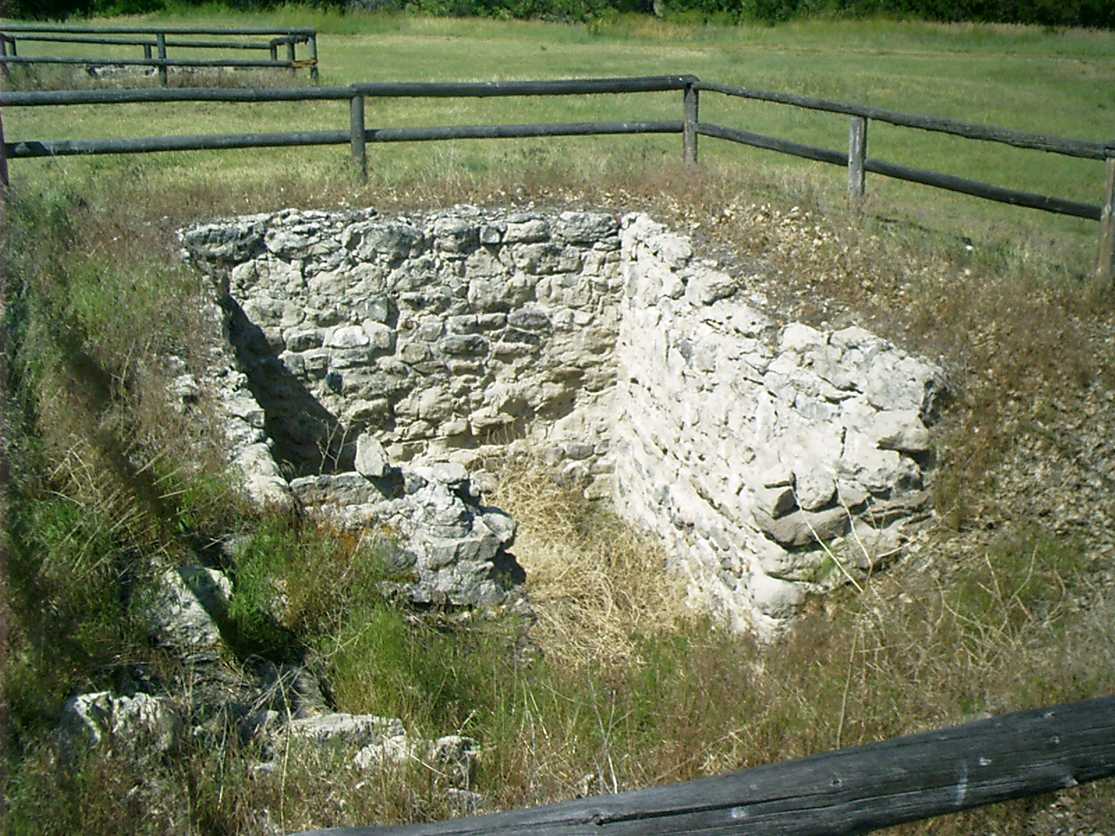
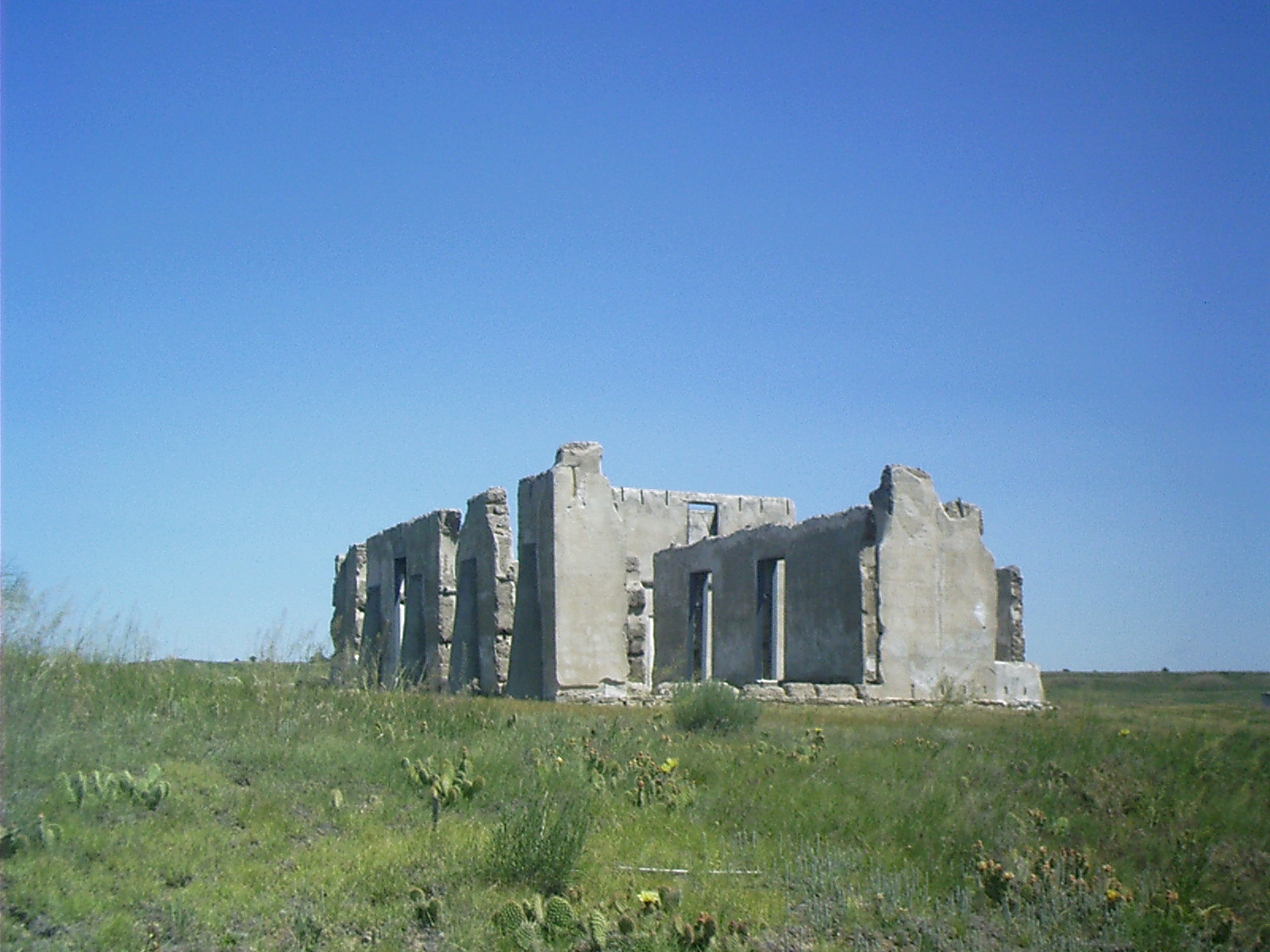
2007-06-17 09.47.28 — 0.3 MB — map
Ruins, Fort Laramie
Resolution: 1200 x 1600 PortraitGrade: D

2007-06-17 09.49.18 — 0.4 MB — map
Ruins, Fort Laramie
Topic: DefenseResolution: 1600 x 1200 Landscape
Grade: B

2007-06-17 09.59.10 — 0.4 MB — map
Laramie River, Fort Laramie
Topic: The Fur TradeResolution: 1600 x 1200 Landscape
Grade: C
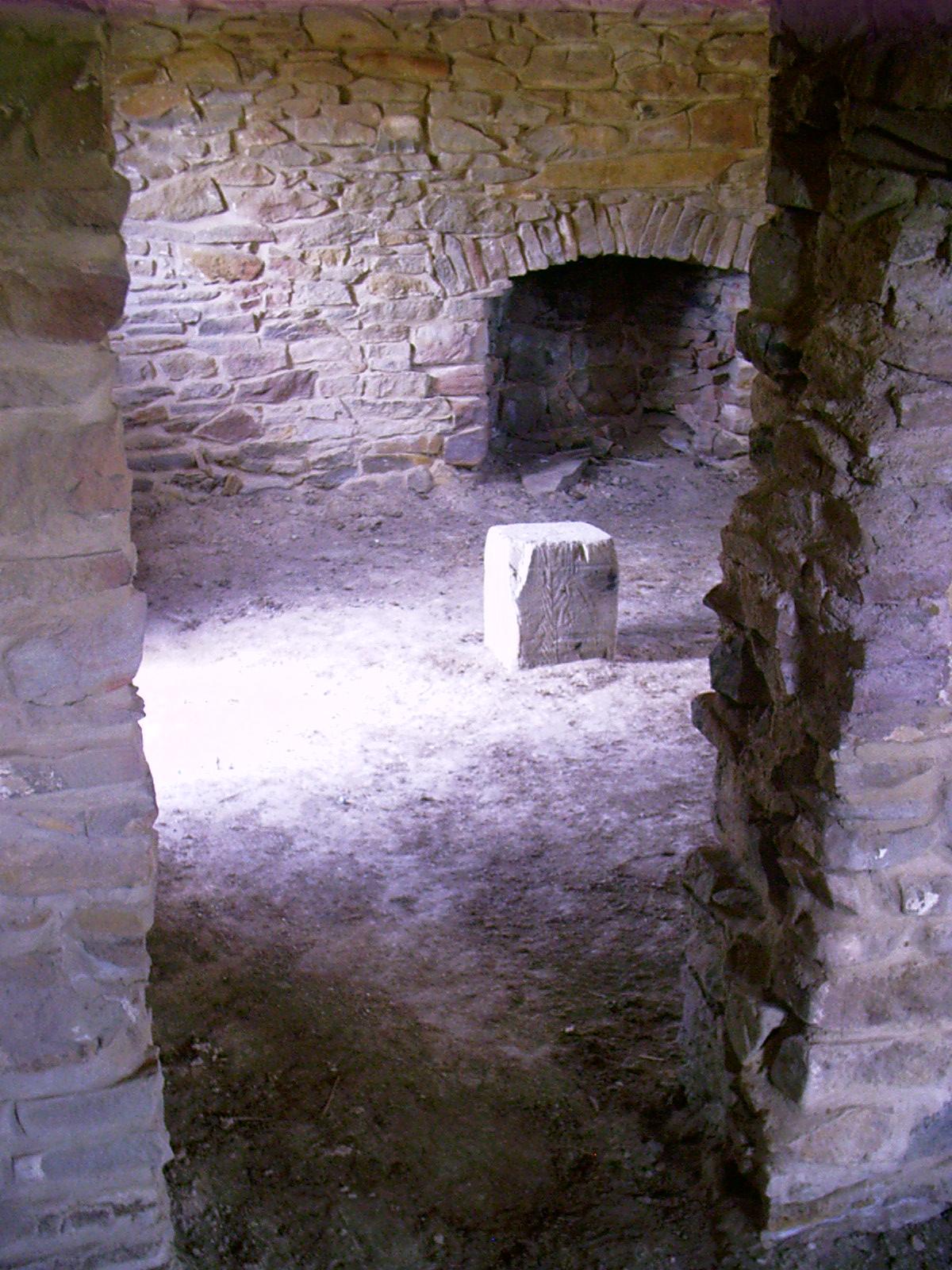
2007-06-17 10.01.04 — 0.7 MB — map
Cellar, Fort Laramie
Resolution: 1600 x 1200 LandscapeGrade: C
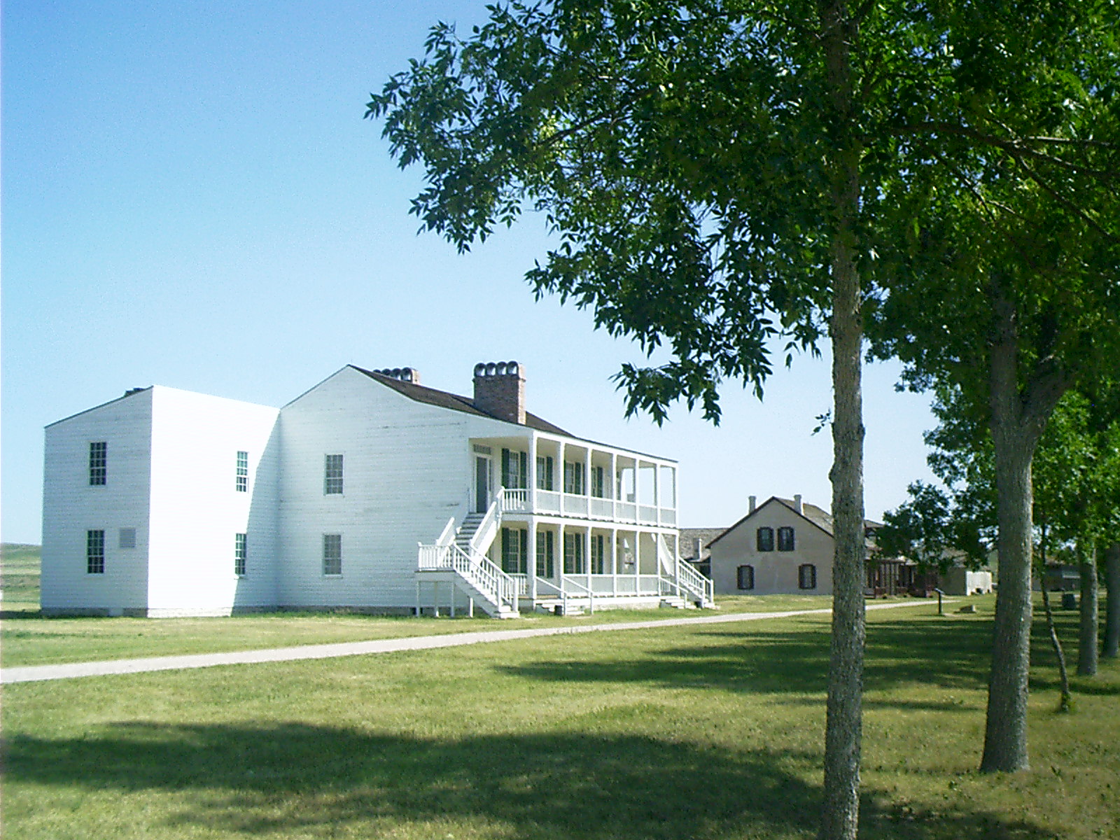
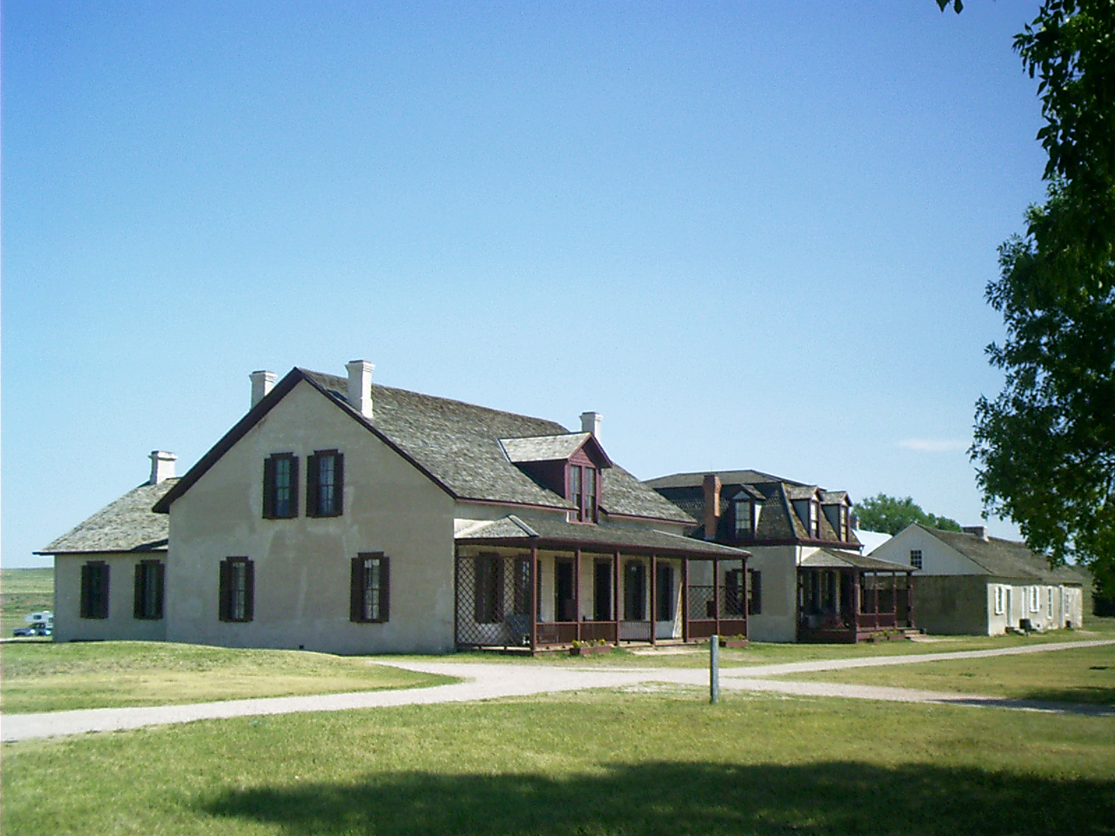
2007-06-17 10.04.52 — 0.6 MB — map
Old Bedlam, Fort Laramie
Topic: DefenseResolution: 1600 x 1200 Landscape
Grade: C

2007-06-17 10.11.26 — 0.2 MB — map
Adobe Construction, Old Bedlam, Fort Laramie
Resolution: 1200 x 1600 PortraitGrade: C
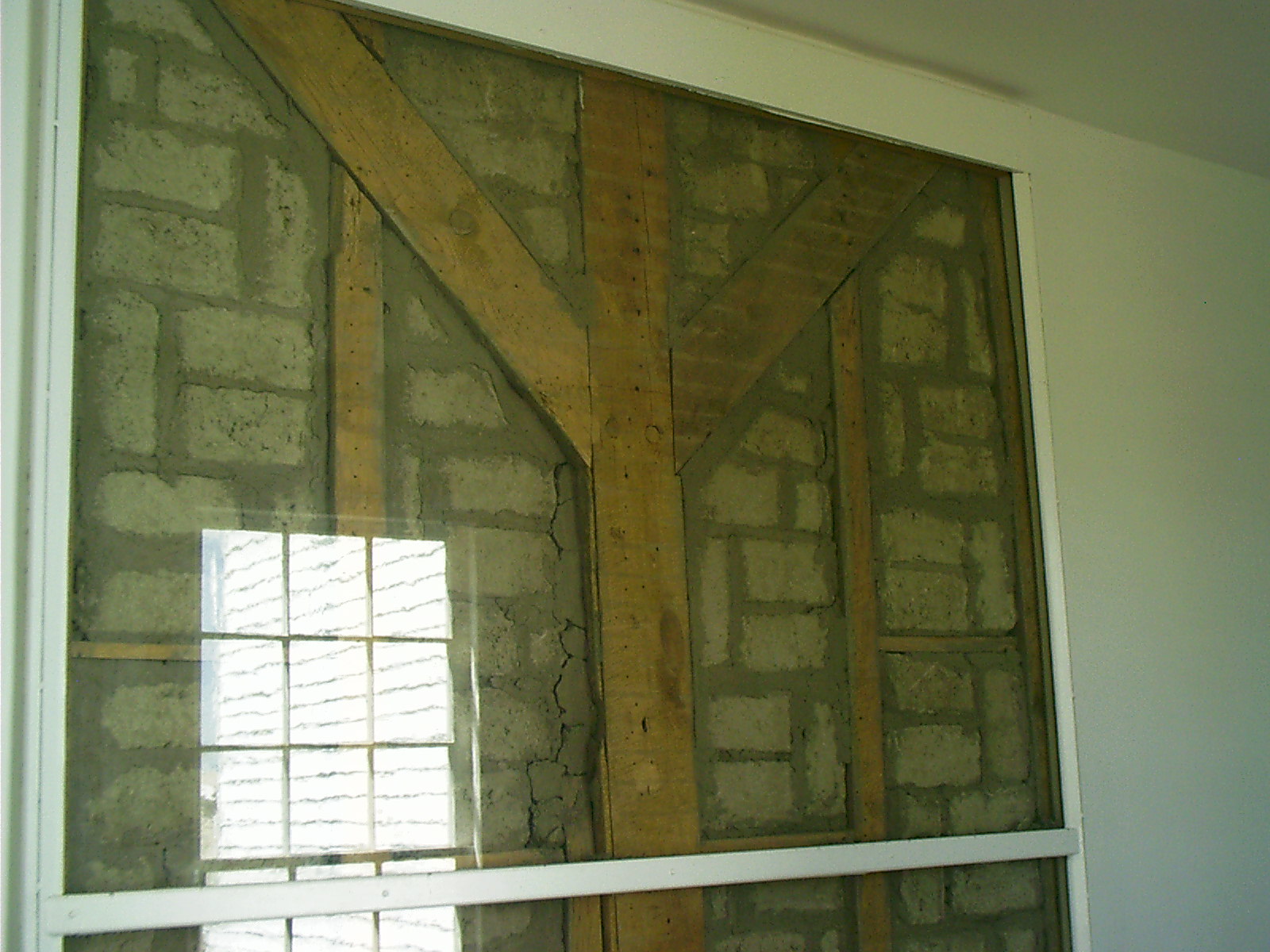
2007-06-17 10.11.58 — 0.4 MB — map
Adobe Construction, Old Bedlam, Fort Laramie
Topic: DefenseResolution: 1600 x 1200 Landscape
Grade: C
2007-06-17 10.13.34 — 0.3 MB — map
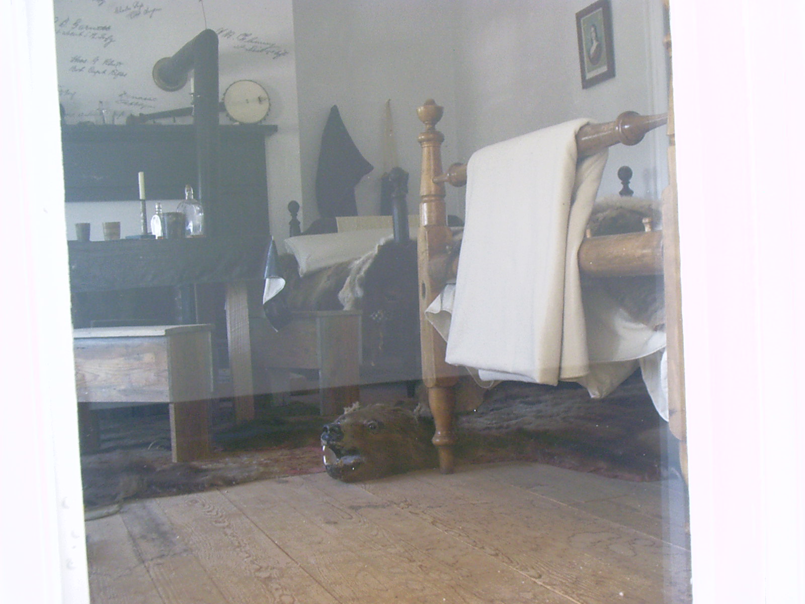
Quarters, Fort Laramie
Topic: DefenseResolution: 1600 x 1200 Landscape
Grade: D
2007-06-17 10.15.28 — 0.4 MB — map
Restoration, Fort Laramie
Topic: DefenseResolution: 1600 x 1200 Landscape
Grade: C
2007-06-17 10.20.08 — 0.2 MB — map
Residence, Fort Laramie
Resolution: 1200 x 1600 PortraitGrade: D
2007-06-17 10.25.46 — 0.4 MB — map
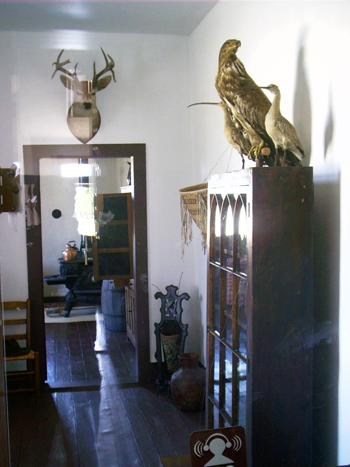
Trophies, Fort Laramie
Resolution: 1600 x 1200 LandscapeGrade: D
2007-06-17 11.13.22 — 1.0 MB — map
Prickly Pear, Fort Laramie
Topic: Seeing the ElephantResolution: 1600 x 1200 Landscape
Grade: C
2007-06-17 11.17.38 — 0.4 MB — map
Pool, Fort Laramie
Topic: DefenseResolution: 1600 x 1200 Landscape
Grade: B
2007-06-17 11.21.40 — 0.4 MB — map
Ruins of Hospital, Fort Laramie
Resolution: 1600 x 1200 LandscapeGrade: C
2007-06-17 11.45.34 — 0.4 MB — map
Old North Platte Bridge, Fort Laramie
Topic: DefenseResolution: 1200 x 1600 Portrait
Grade: C
2007-06-17 11.46.58 — 0.6 MB — map
Geraldine, Fort Laramie
Resolution: 1600 x 1200 LandscapeGrade: C
2007-06-17 13.00.38 — 0.6 MB — map
Ruts, Guernsey, WY
Topic: Seeing the ElephantResolution: 1600 x 1200 Landscape
Grade: C

2007-06-17 13.46.20 — 0.5 MB — map
Laramie Peak from I-25, WY
Topic: Seeing the ElephantResolution: 1600 x 1200 Landscape
Grade: C
2007-06-17 18.00.36 — 0.4 MB — map
Alcova Reservoir, WY
Topic: TransportationResolution: 1600 x 1200 Landscape
Grade: B
2007-06-17 19.17.26 — 0.5 MB — map
Independence Rock, WY
Topic: Seeing the ElephantRemarks: "Named for a fur trader's Fourth of July celebration, this huge rock became the most famous and anticipated of all trail landmarks. Here the trail met the cool, clean and clear Sweetwater River that would lead it to South Pass. The emigrants paused to inscribe their names on the "Great Register of the Desert" while they rested themselves and their livestock. They observed the national Independence Day (no matter the actual date) and congratulated themselves on reaching the perceived mid-point in their journey. Described by most as '...looking like a great beached whale...,' the Rock is now the site of a modern Highway Rest Area and State Interpretative Site."
• United States. Dept. of the Interior. Bureau of Land Management. Tour the Trails in Wyoming. 24 May 2007. 1 July 2007 <http://www.blm.gov/wy/st/en/programs/special_areas/Historic_Trails/trails_tour.3.html>.
Resolution: 1600 x 1200 Landscape
Grade: B

2007-06-17 19.18.16 — 0.5 MB — map
Devils Gate, WY
Topic: Seeing the ElephantResolution: 1600 x 1200 Landscape
Grade: B

2007-06-17 19.18.32 — 0.5 MB — map
Tourists, Independence Rock, WY
Resolution: 1600 x 1200 LandscapeGrade: B
2007-06-17 19.32.44 — 0.3 MB — map
Geraldine, Devils Gate, WY
Topic: TransportationResolution: 1200 x 1600 Portrait
Grade: B
2007-06-17 19.36.20 — 0.3 MB — map
Split Rock, WY
Topic: Seeing the ElephantResolution: 1600 x 1200 Landscape
Grade: F

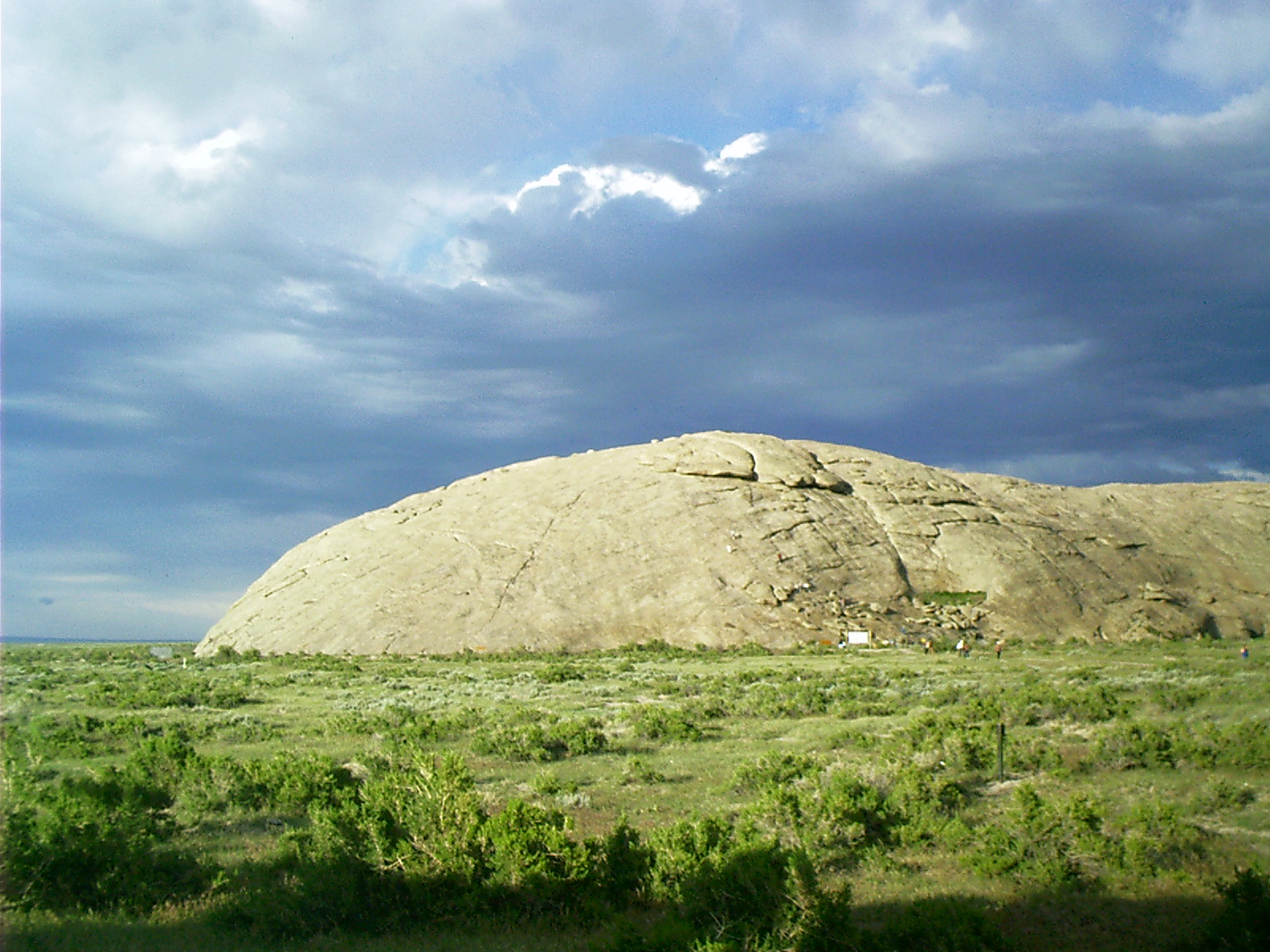
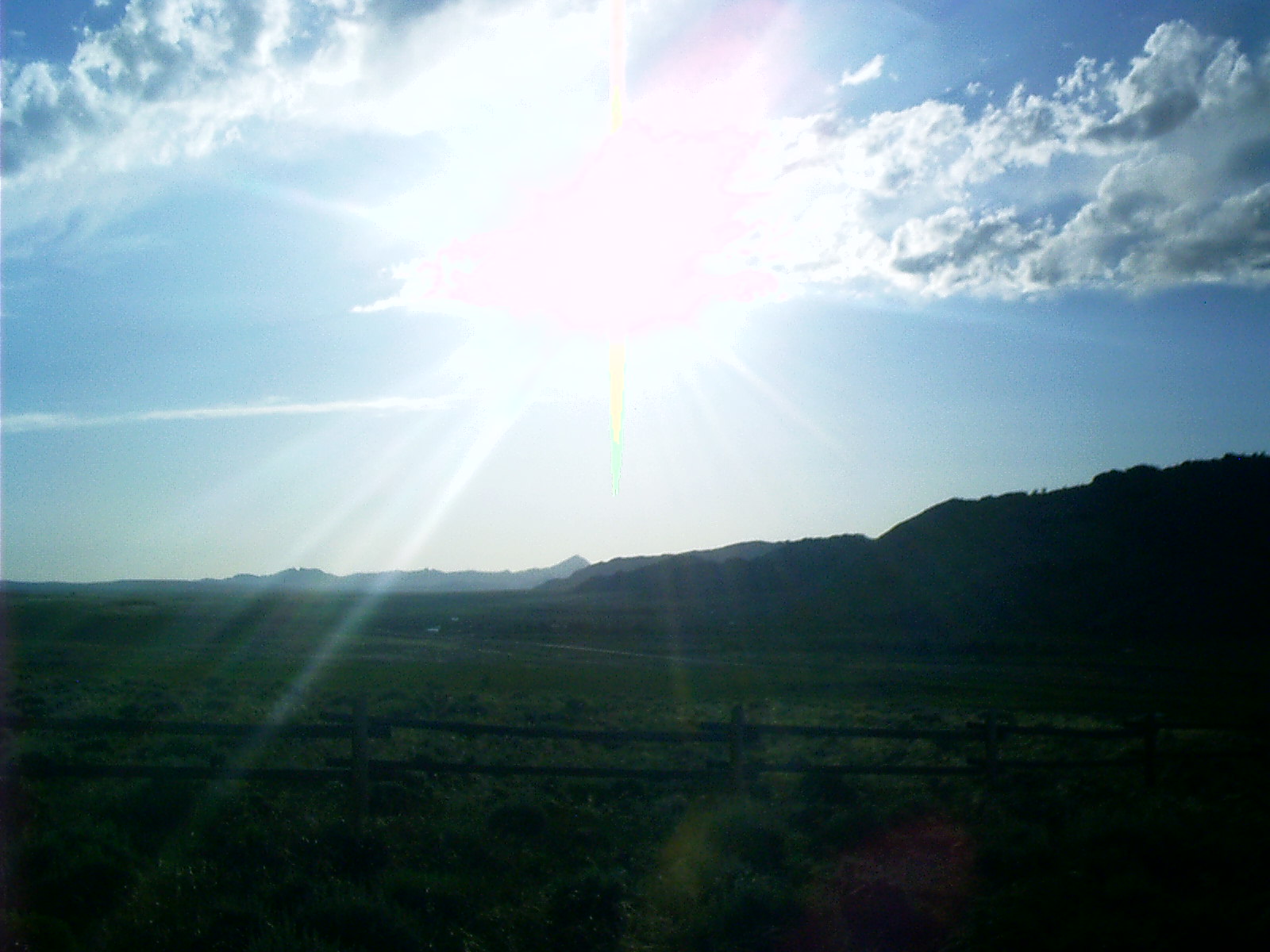
2007-06-17 19.41.36 — 0.4 MB — map
Sun Ranch, WY
Topic: Seeing the ElephantResolution: 1600 x 1200 Landscape
Grade: D
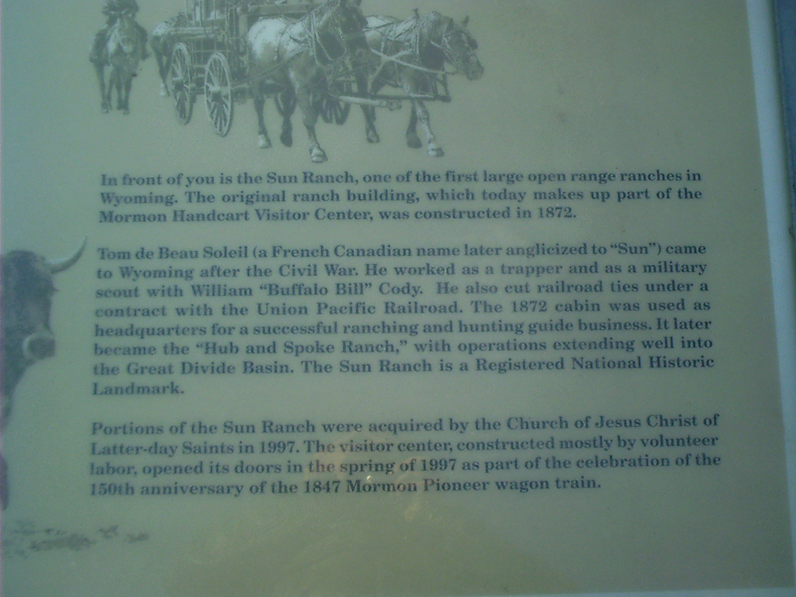
2007-06-17 19.41.44 — 0.3 MB — map
Marker, Sun Ranch, WY
Remarks: "In front of you is the Sun Ranch, one of the first large open range ranches in Wyoming. The original ranch building, which today makes up part of the Mormon Handcart Visitor Center, was constructed in 1872."Tom de Beau Soleil (a French Canadian name later anglicized to 'Sun') came to Wyoming after the Civil War. He worked as a trapper and as a military scout with William "Buffalo Bill" Cody. He also cut railroad ties under a contract with the Union Pacific Railroad. The 1872 cabin was used as headquarters for a successful ranching and hunting guide business. It later became the 'Hub and Spoke Ranch,' with operations extending well into the Great Divide Basin. The Sun Ranch is a Registered National Historic Landmark.
"Portions of the Sun Ranch were acquired by the Church of Jesus Christ of Later-day Saints in 1997. The visitor center, constructed mostly by volunteer labor, opened its doors in the spring of 1997 as part of the celebration of the 150th anniversary of the 1847 Mormon Pioneer wagon train."
• "Sun Ranch." Roadside marker. 17 June 2007.
Resolution: 1600 x 1200 Landscape
Grade: *
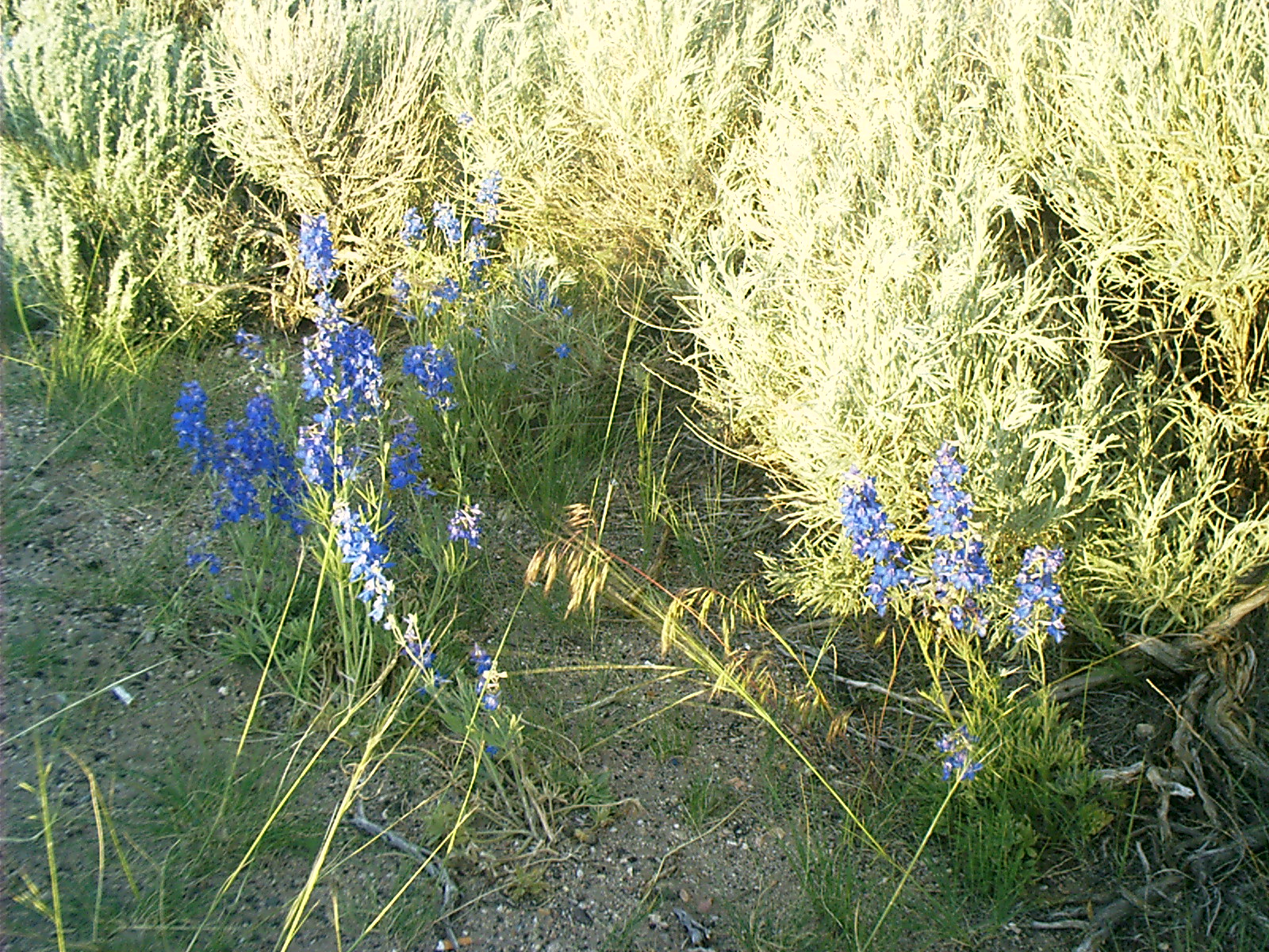
2007-06-17 20.23.52 — 0.9 MB — map
Lupine, Split Rock, WY
Topic: Seeing the ElephantResolution: 1600 x 1200 Landscape
Grade: D
2007-06-17 20.44.48 — 0.3 MB — map
Split Rock, WY
Topic: Seeing the ElephantResolution: 1600 x 1200 Landscape
Grade: A

2007-06-18 09.28.14 — 0.5 MB — map
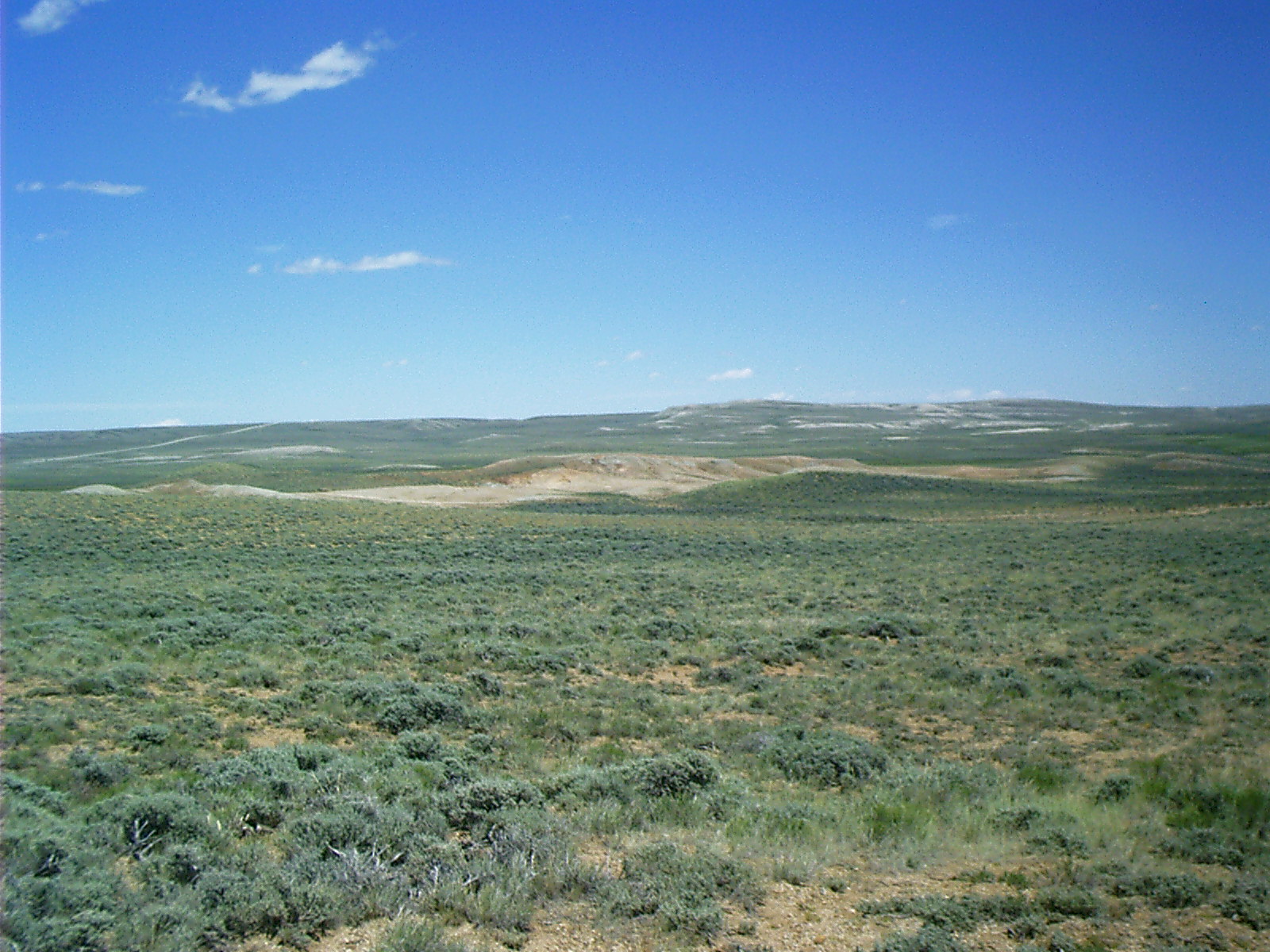
Red Canyon, WY
Topic: ExtractionResolution: 1600 x 1200 Landscape
Grade: A
2007-06-18 10.39.04 — 0.5 MB — map
Cellar, South Pass City, WY
Resolution: 1600 x 1200 LandscapeGrade: C
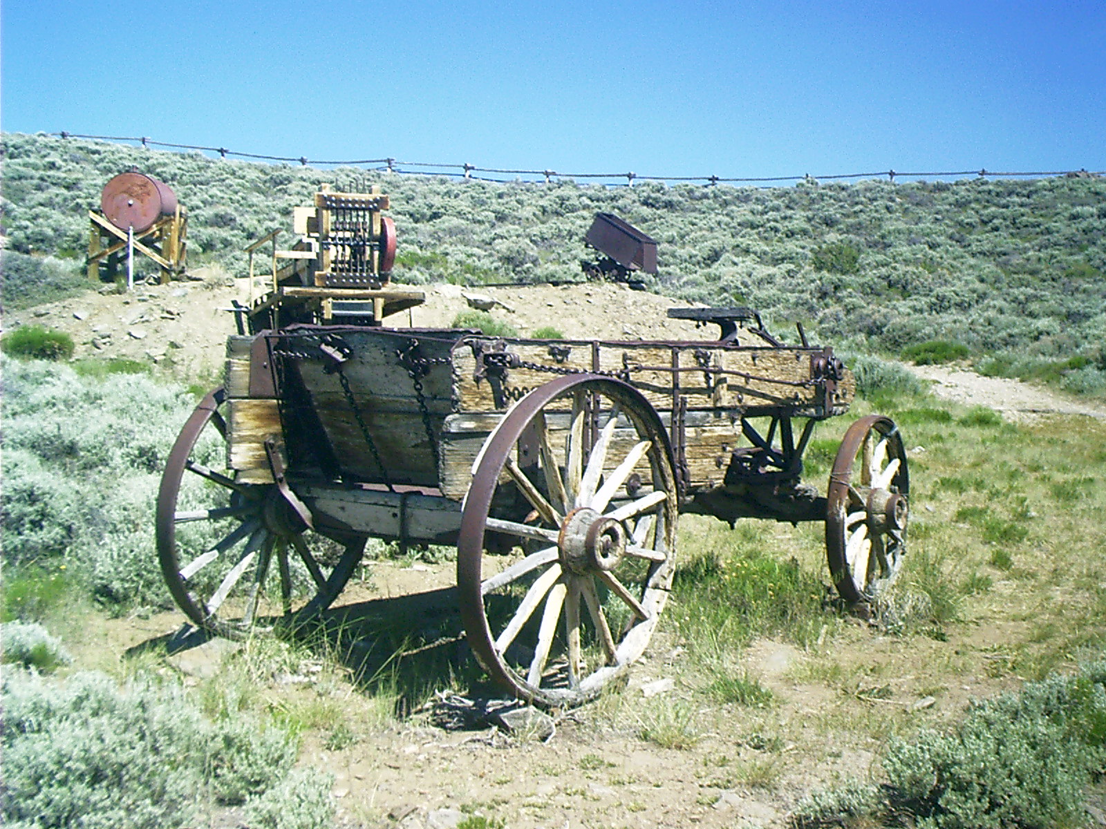
2007-06-18 10.44.56 — 0.7 MB — map
Ore Wagon, South Pass City, WY
Resolution: 1600 x 1200 LandscapeGrade: D
2007-06-18 10.46.04 — 0.6 MB — map
Ore Wagon Detail, South Pass City, WY
Topic: ExtractionResolution: 1600 x 1200 Landscape
Grade: C
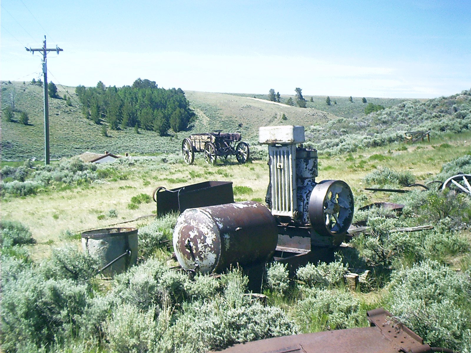
2007-06-18 10.48.02 — 0.6 MB — map
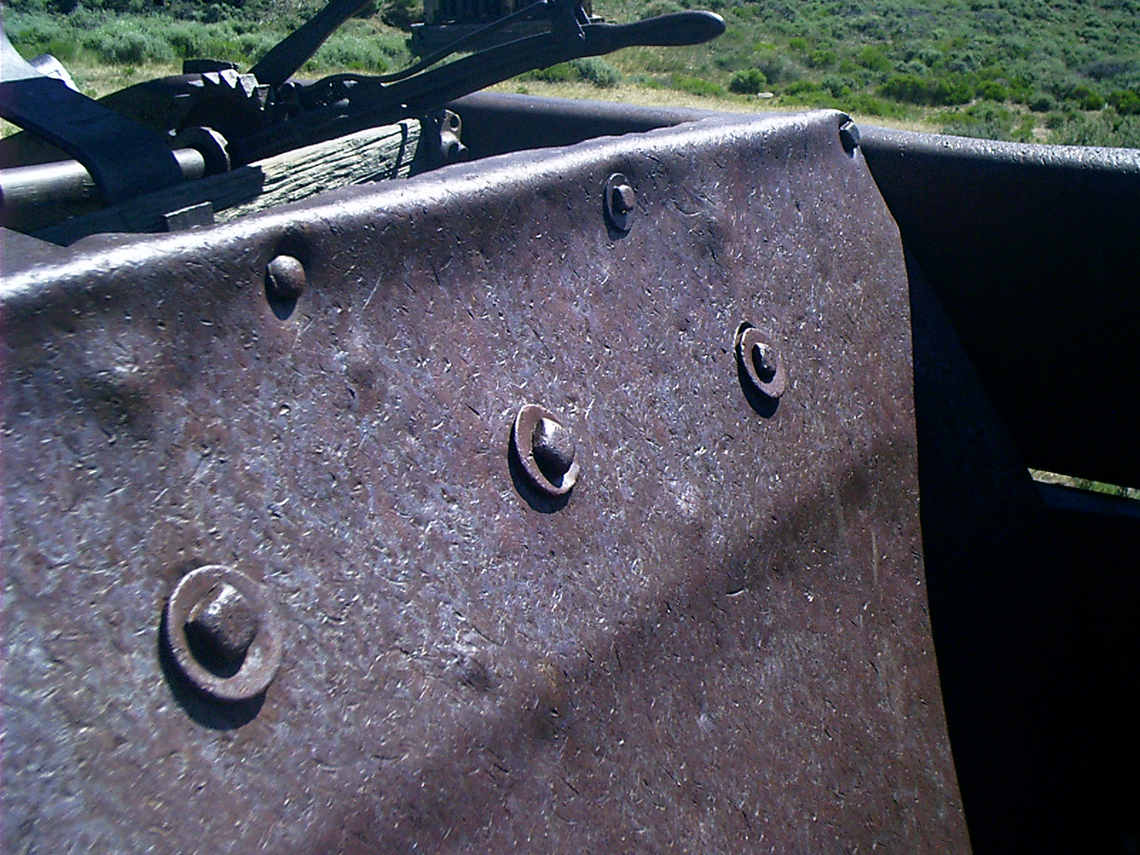
Air Compressor, South Pass City, WY
Topic: ExtractionResolution: 1600 x 1200 Landscape
Grade: A

2007-06-18 10.51.42 — 0.4 MB — map
Ore Crusher, South Pass City, WY
Resolution: 1200 x 1600 PortraitGrade: C
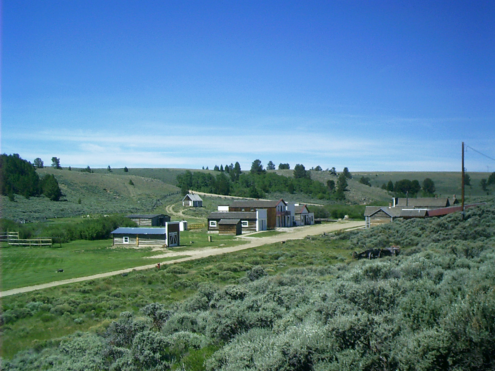
2007-06-18 10.56.06 — 0.5 MB — map
South Pass City, WY
Topic: ExtractionRemarks: "Toward dawn we got under way again, and presently as we sat with raised curtains enjoying our early-morning smoke and contemplating the first splendor of the rising sun as it swept down the long array of mountain peaks, flushing and gilding crag after crag and summit after summit, as if the invisible Creator reviewed his gray veterans and they saluted with a smile, we hove in sight of South Pass City. The hotel-keeper, the postmaster, the blacksmith, the mayor, the constable, the city marshal and the principal citizen and property holder, all came out and greeted us cheerily, and we gave him good day. He gave us a little Indian news, and a little Rocky Mountain news, and we gave him some Plains information in return. He then retired to his lonely grandeur and we climbed on up among the bristling peaks and the ragged clouds. South Pass City consisted of four log cabins, one of which was unfinished, and the gentleman with all those offices and titles was the chiefest of the ten citizens of the place. Think of hotel-keeper, postmaster, blacksmith, mayor, constable, city marshal and principal citizen all condensed into one person and crammed into one skin. Bemis said he was 'a perfect Allen's revolver of dignities.' And he said that if he were to die as postmaster, or as blacksmith, or as postmaster and blacksmith both, the people might stand it; but if he were to die all over, it would be a frightful loss to the community."
• Twain, Mark [Samuel Clemens]. Roughing It. 1872. Prod. David Widger. 2006. Project Gutenberg. 2 June 2007 <http://www.gutenberg.org/files/3177/3177-h/3177-h.htm>.
Resolution: 1600 x 1200 Landscape
Grade: B
2007-06-18 11.07.26 — 0.8 MB — map
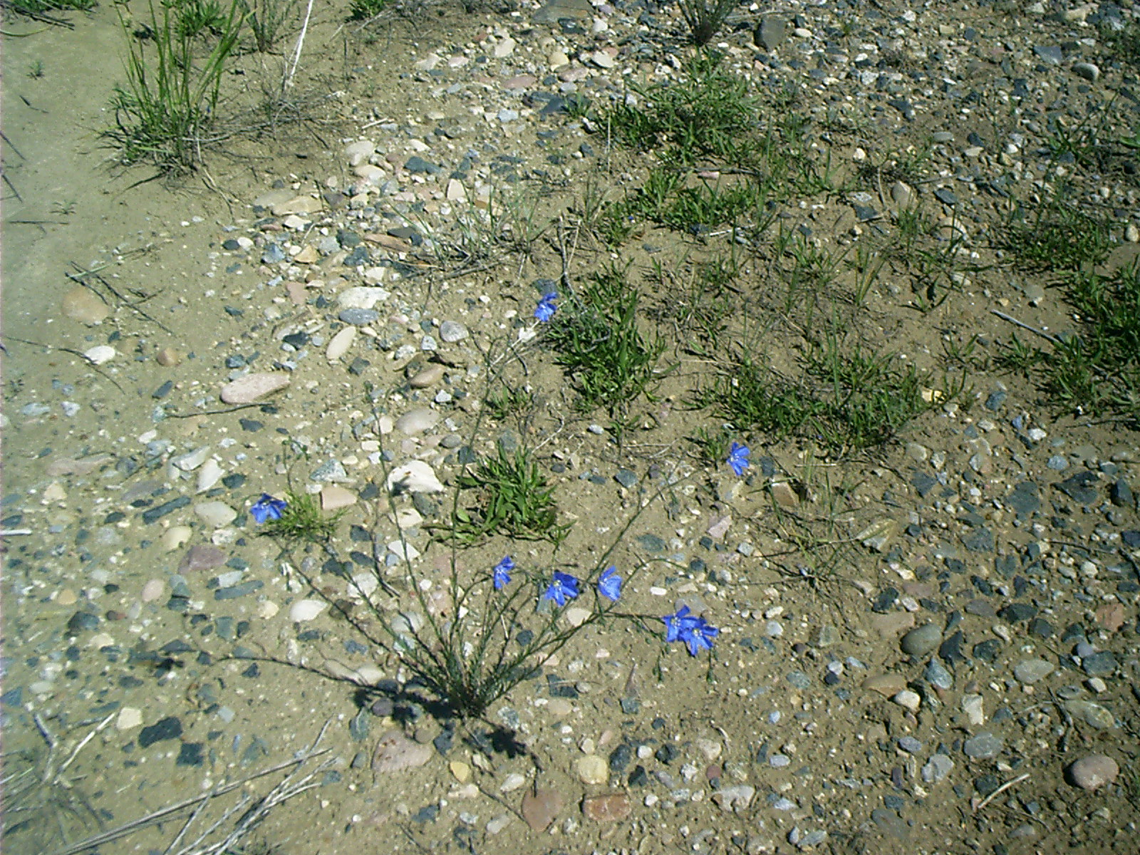
Flax, South Pass City, WY
Topic: Seeing the ElephantResolution: 1600 x 1200 Landscape
Grade: B

2007-06-18 11.23.40 — 0.3 MB — map
Hotel Room, South Pass City, WY
Topic: ExtractionResolution: 1200 x 1600 Portrait
Grade: B
2007-06-18 11.29.10 — 0.4 MB — map
Main Street, South Pass City, WY
Topic: ExtractionResolution: 1600 x 1200 Landscape
Grade: C
2007-06-18 11.46.12 — 0.2 MB — map
Saloon Interior Detail, South Pass City, WY
Topic: ExtractionResolution: 1200 x 1600 Portrait
Grade: D
2007-06-18 11.56.30 — 0.5 MB — map
Jail, South Pass City, WY
Remarks: The jail is the log structure in the distance. It faces south. The front room to the left was office space. The back room to the right was a cell. Note the timbers protruding through the wall, which form the ceiling.Resolution: 1600 x 1200 Landscape
Grade: C
2007-06-18 12.19.14 — 0.6 MB — map
Bunch Grass, South Pass City, WY
Topic: Seeing the ElephantResolution: 1200 x 1600 Portrait
Grade: C
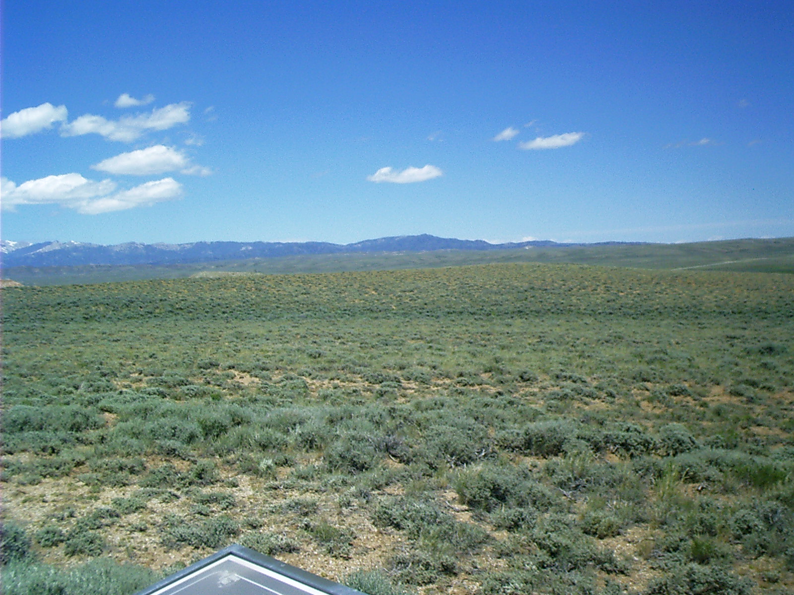
2007-06-18 13.11.00 — 0.4 MB — map
Wind River Range, South Pass, WY
Topic: The Fur TradeResolution: 1600 x 1200 Landscape
Grade: C
2007-06-18 13.28.48 — 0.4 MB — map
Sweetwater River, South Pass, WY
Topic: Seeing the ElephantResolution: 1600 x 1200 Landscape
Grade: C
2007-06-18 13.41.38 — 0.5 MB — map
WY 28 through South Pass
Resolution: 1600 x 1200 LandscapeGrade: D

2007-06-18 13.52.00 — 0.7 MB — map
South Pass Panorama
Topic: Seeing the ElephantResolution: 4246 x 996 Landscape
Grade: C
2007-06-18 13.52.18 — 0.5 MB — map
South Pass 2nd Seq 3 of 3
Resolution: 1600 x 1200 LandscapeGrade: C
2007-06-18 13.52.24 — 0.5 MB — map
South Pass 2nd Seq 2 of 3
Resolution: 1600 x 1200 LandscapeGrade: C
2007-06-18 13.52.34 — 0.5 MB — map
South Pass 2nd Seq 1 of 3
Resolution: 1600 x 1200 LandscapeGrade: C
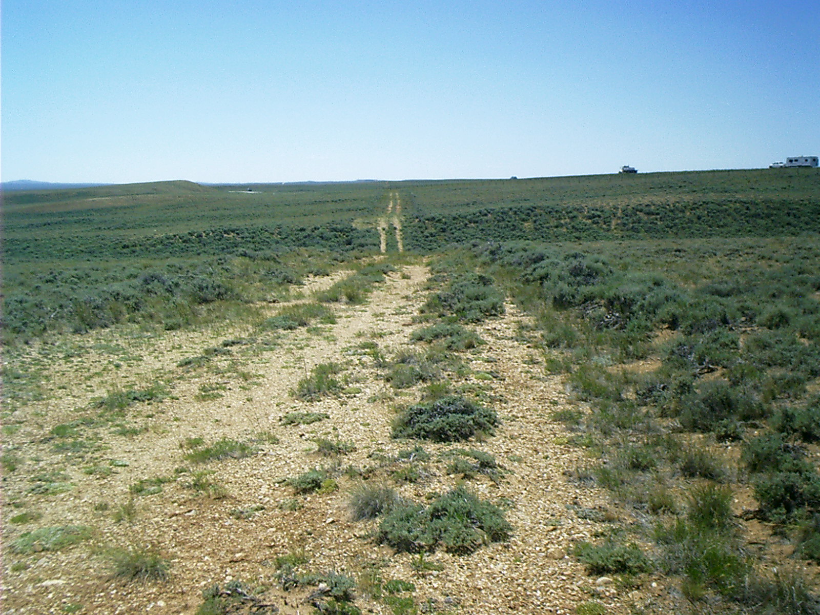
2007-06-18 13.59.38 — 0.6 MB — map
Ruts, South Pass, WY
Remarks: There are several places where WY SR 28 cuts across older roads. Some of these may very well have been in use from pioneer times.Resolution: 1600 x 1200 Landscape
Grade: D
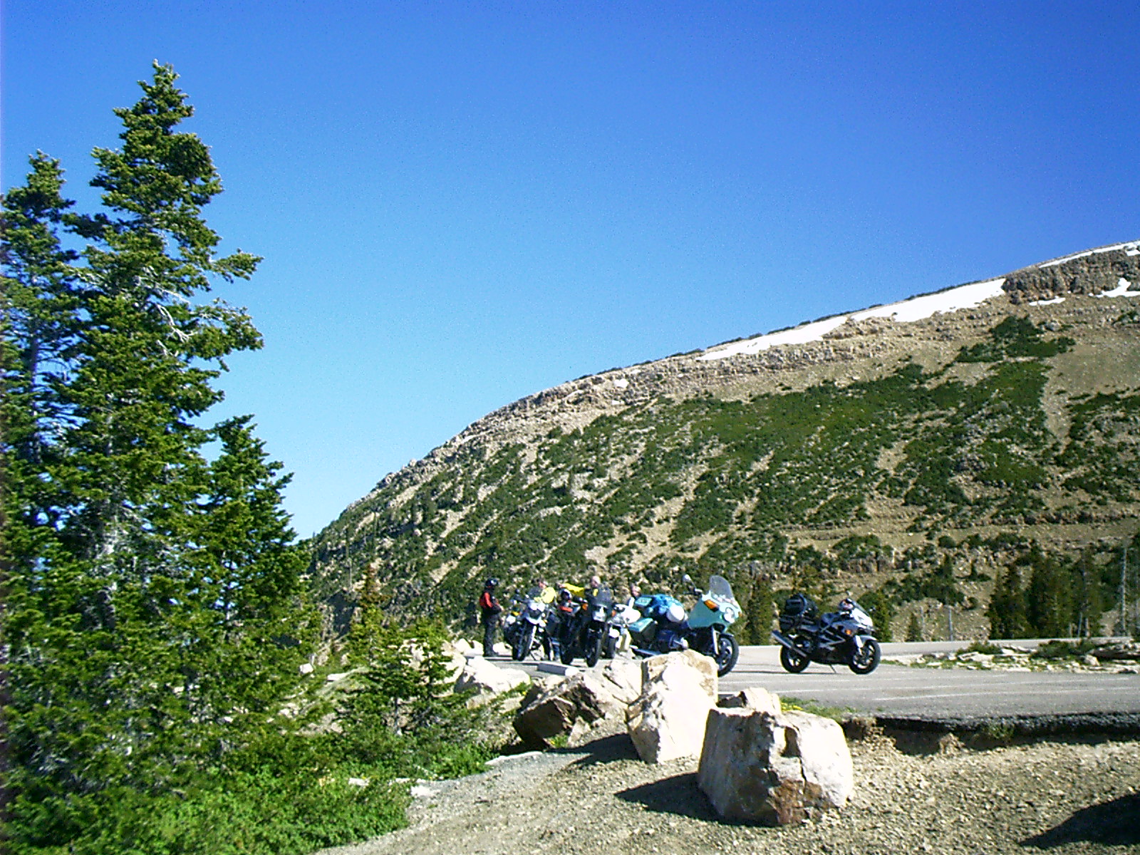
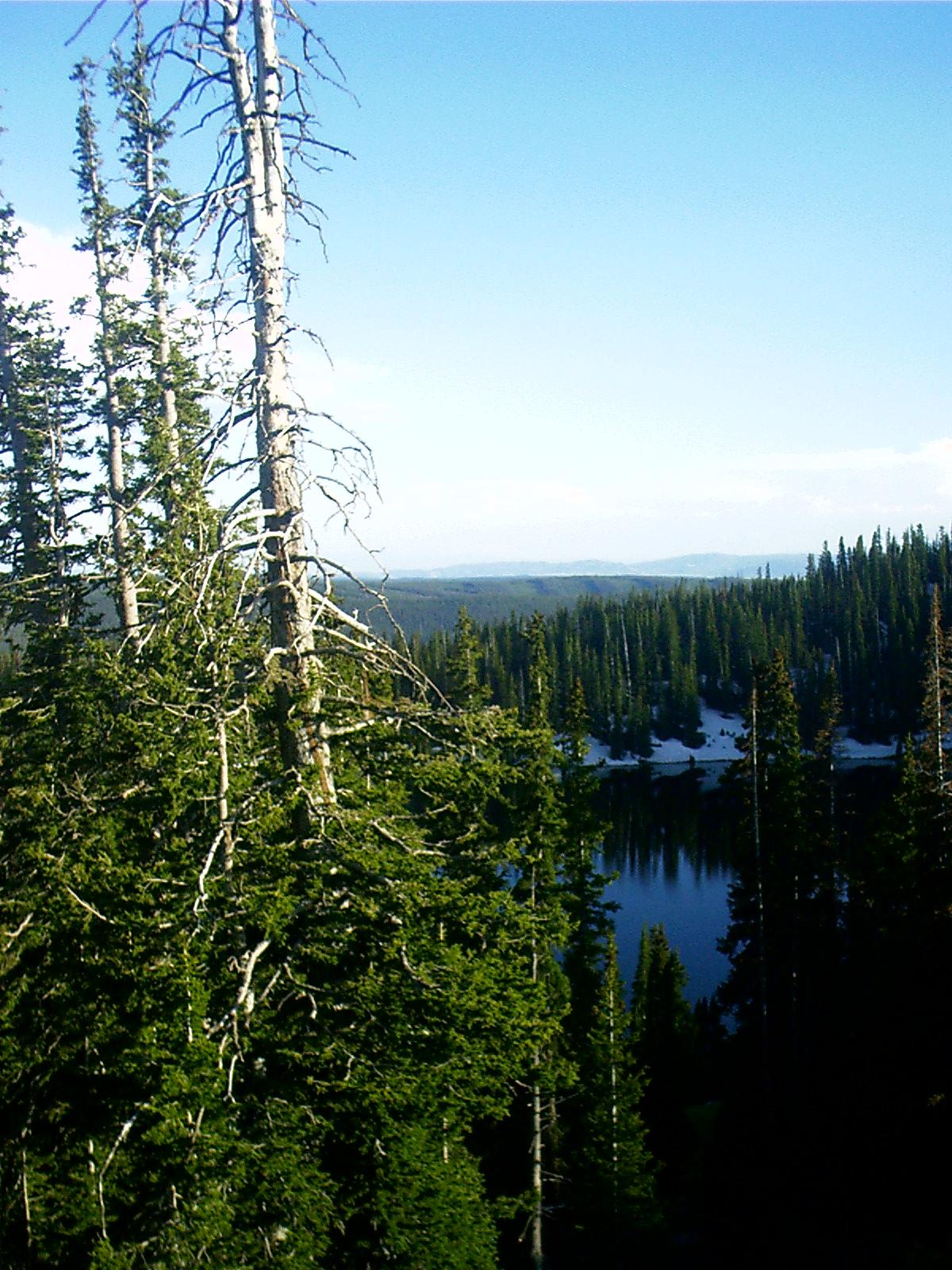
2007-06-19 09.24.58 — 0.7 MB — map
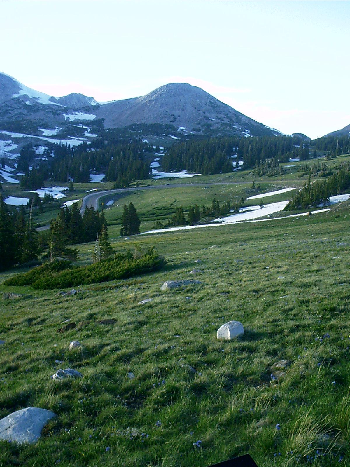
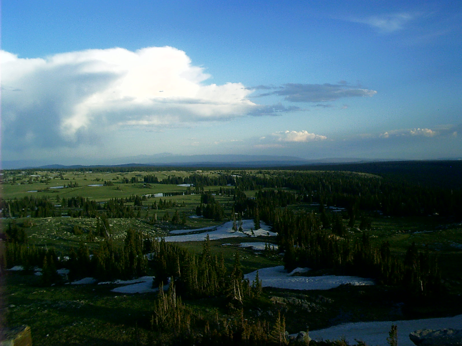
Riding Mirror Lake Highway, UT
Resolution: 1600 x 1200 LandscapeGrade: D
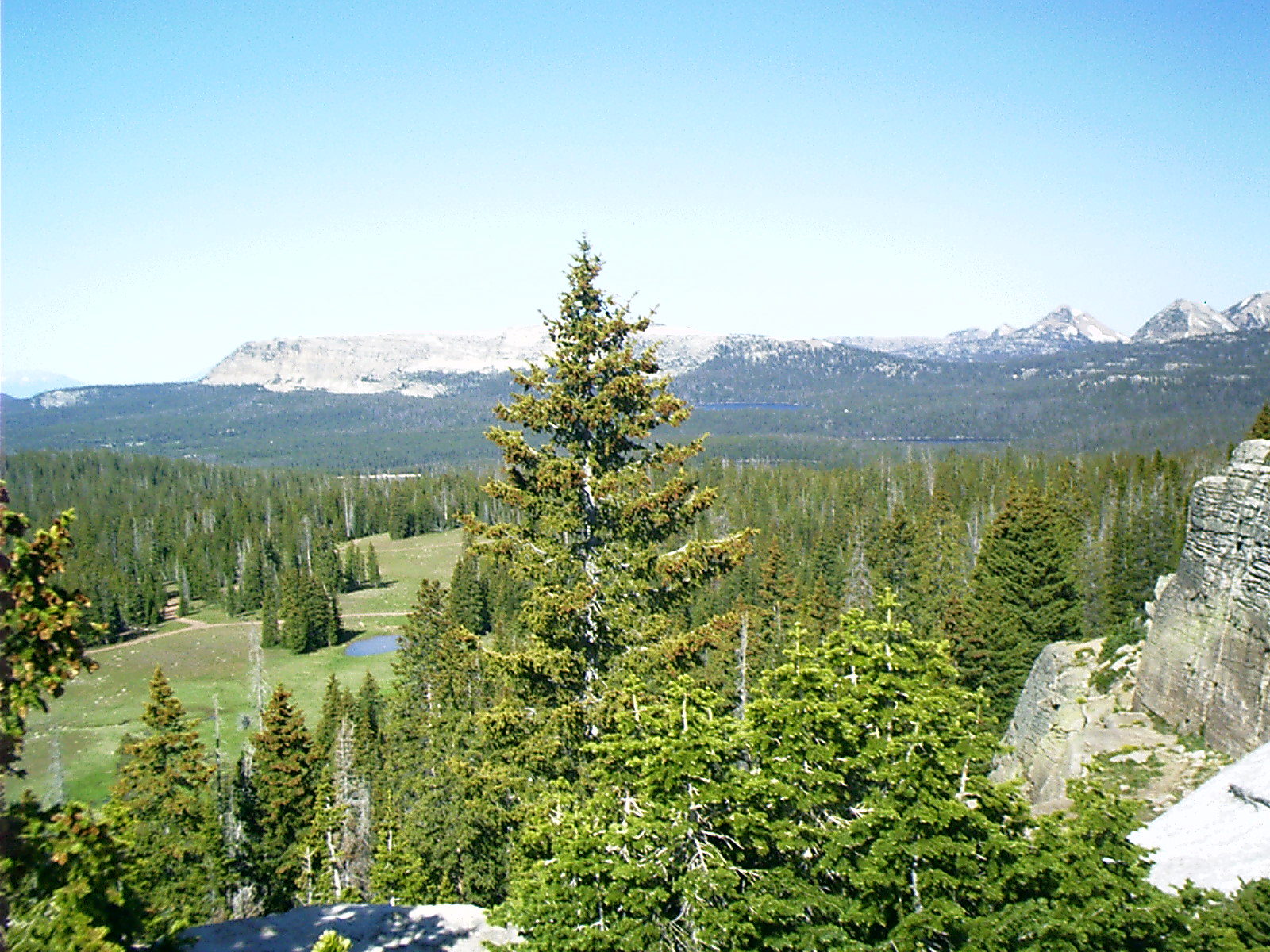
2007-06-19 09.26.00 — 0.6 MB — map
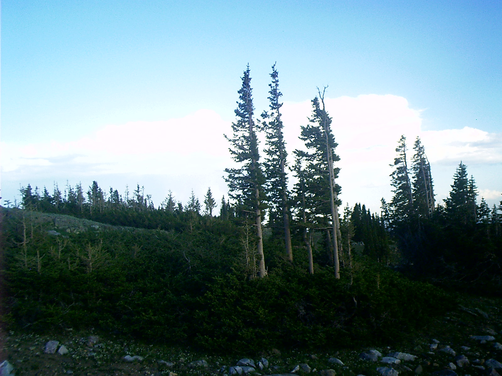
Uintas, Mirror Lake Highway, UT
Resolution: 1600 x 1200 LandscapeGrade: D
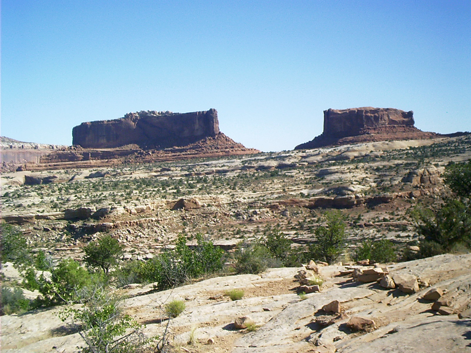
2007-06-20 08.59.52 — 0.6 MB — map
Monitor and Merrimac, Island in the Sky, Canyonlands NP
Resolution: 1600 x 1200 LandscapeGrade: D
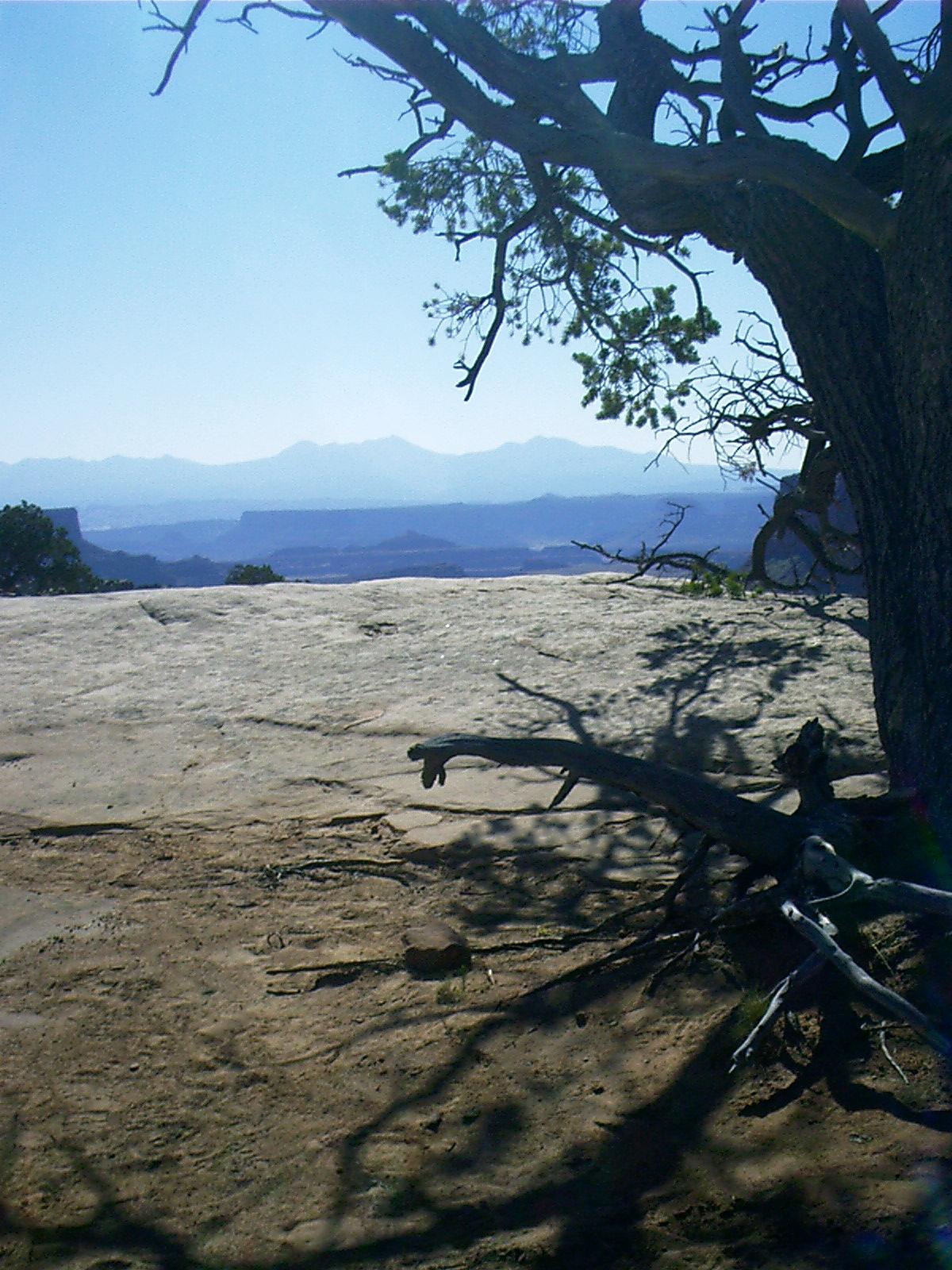
2007-06-20 09.38.02 — 0.3 MB — map
La Sal Mountains, Island in the Sky, Canyonlands NP
Resolution: 1200 x 1600 PortraitGrade: D
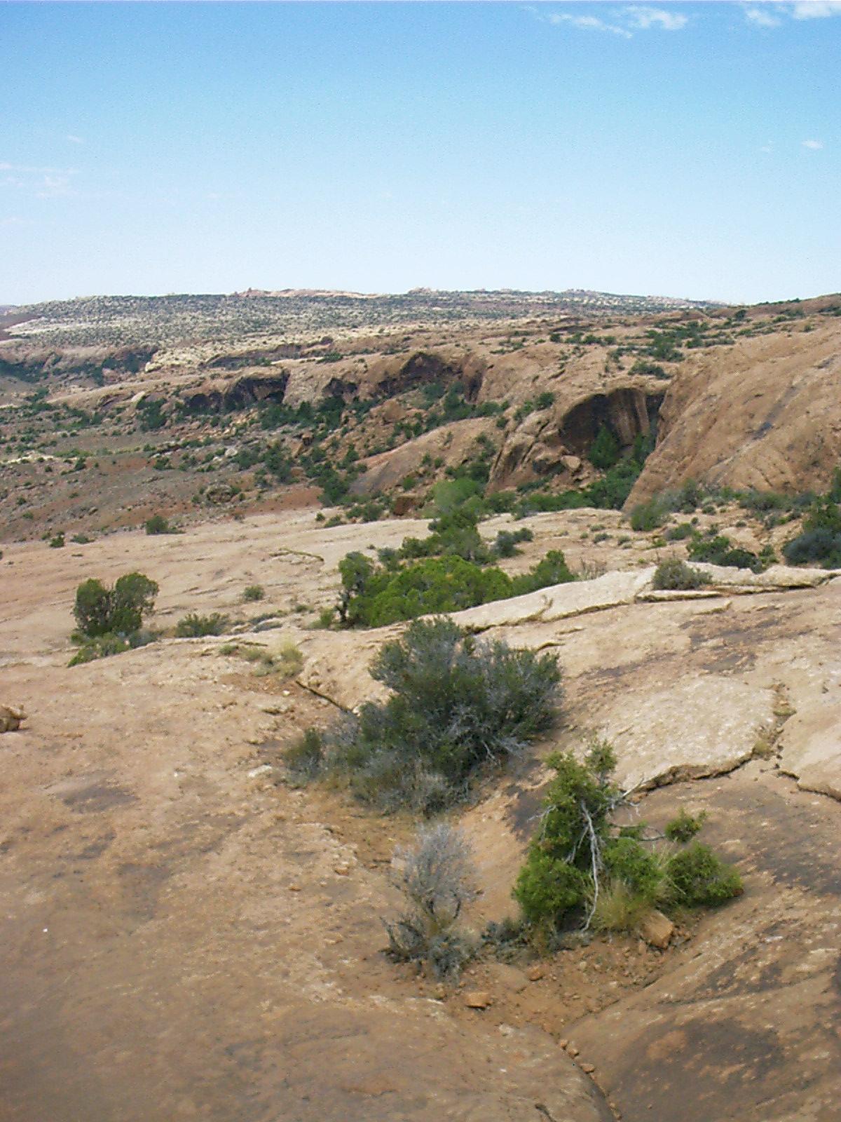
2007-06-20 10.20.16 — 0.5 MB — map
Island in the Sky, Canyonlands NP
Topic: Moab, UTResolution: 1600 x 1200 Landscape
Grade: C

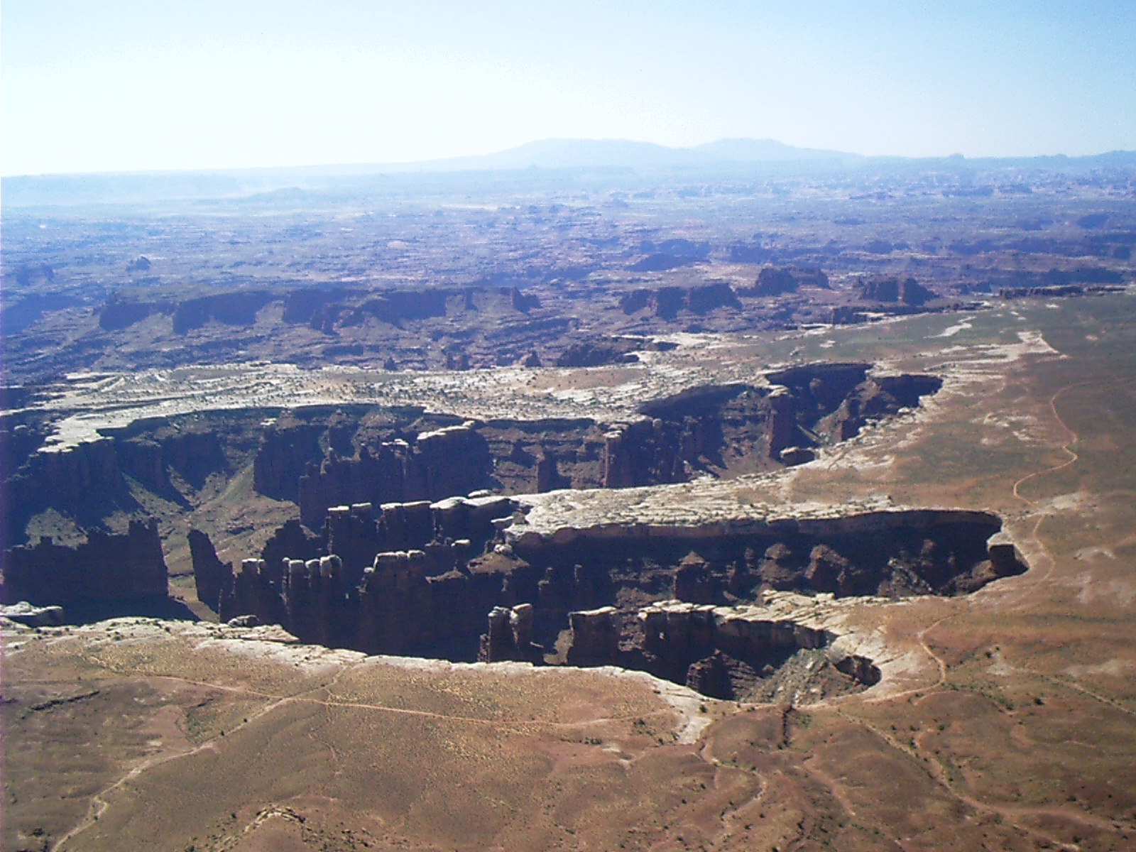
2007-06-20 10.28.40 — 0.6 MB — map
Grandview Point, Island in the Sky, Canyonlands NP
Topic: Moab, UTResolution: 1600 x 1200 Landscape
Grade: A
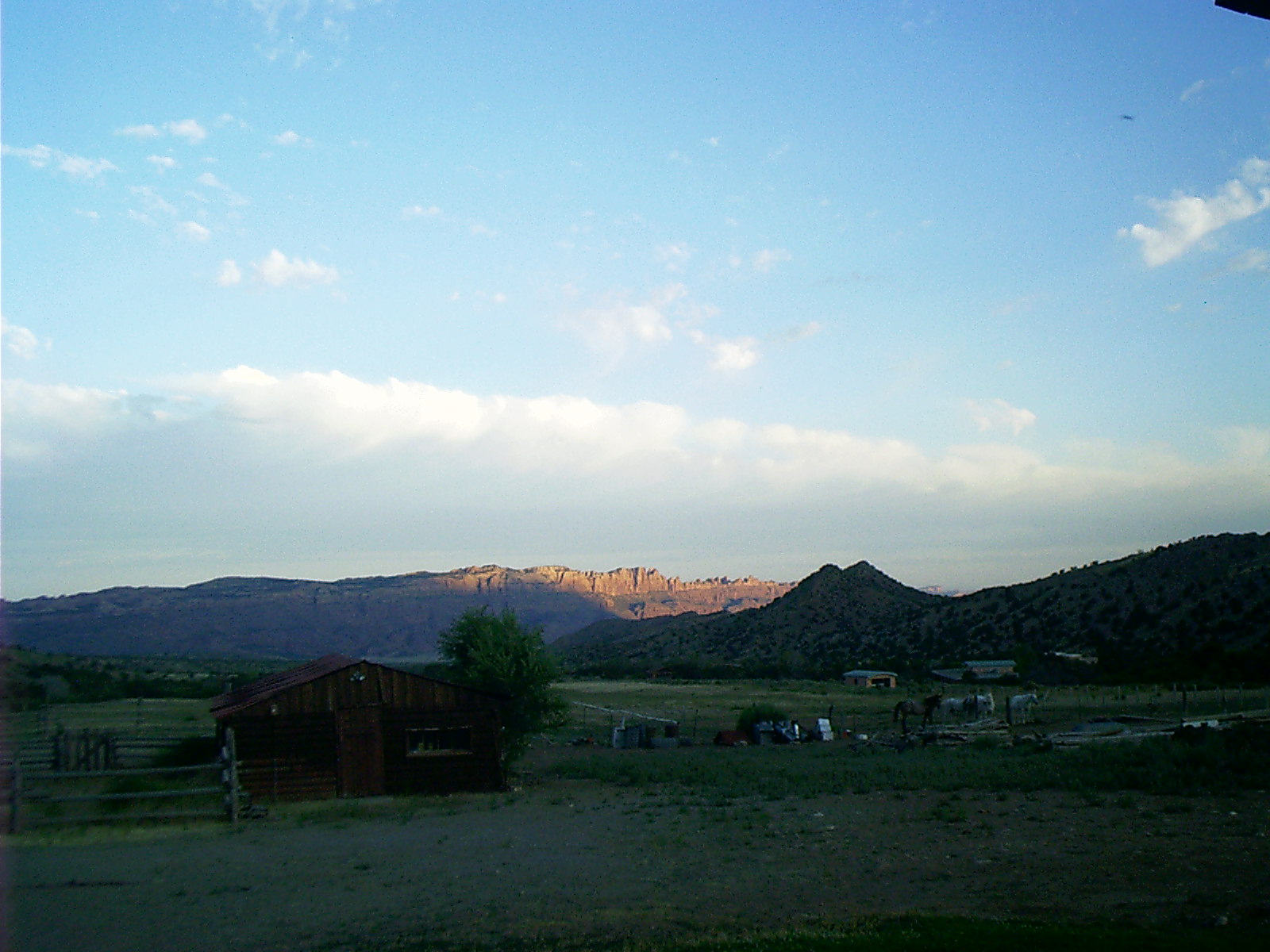
2007-06-21 06.21.00 — 0.3 MB — map
Pack Creek Ranch, Moab, UT
Topic: Moab, UTResolution: 1600 x 1200 Landscape
Grade: C
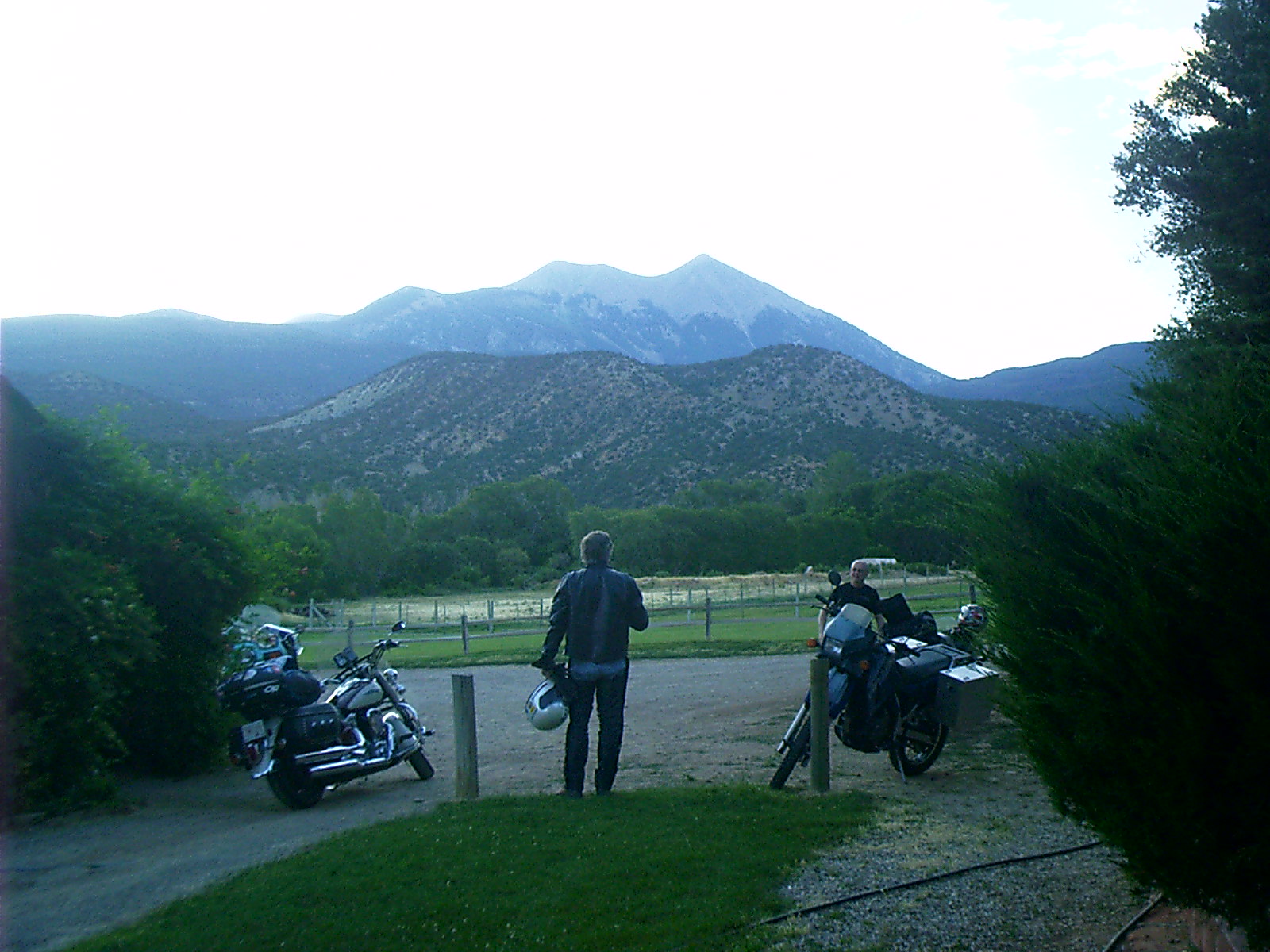
2007-06-21 06.21.38 — 0.4 MB — map
At Pack Creek Ranch, Moab, UT
Topic: Moab, UTResolution: 1600 x 1200 Landscape
Grade: B
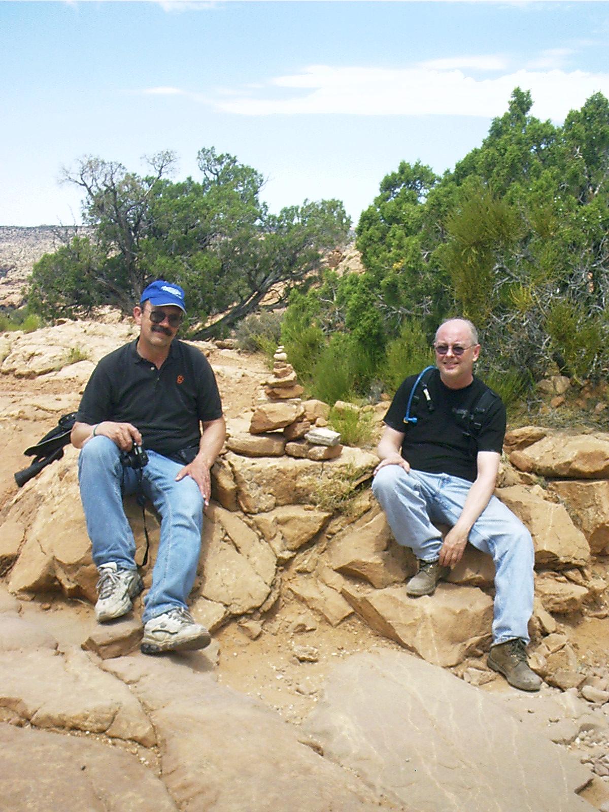
2007-06-21 11.46.00 — 0.3 MB — map
Lyle and Bryan, Arches NP
Topic: Moab, UTResolution: 1200 x 1600 Portrait
Grade: A
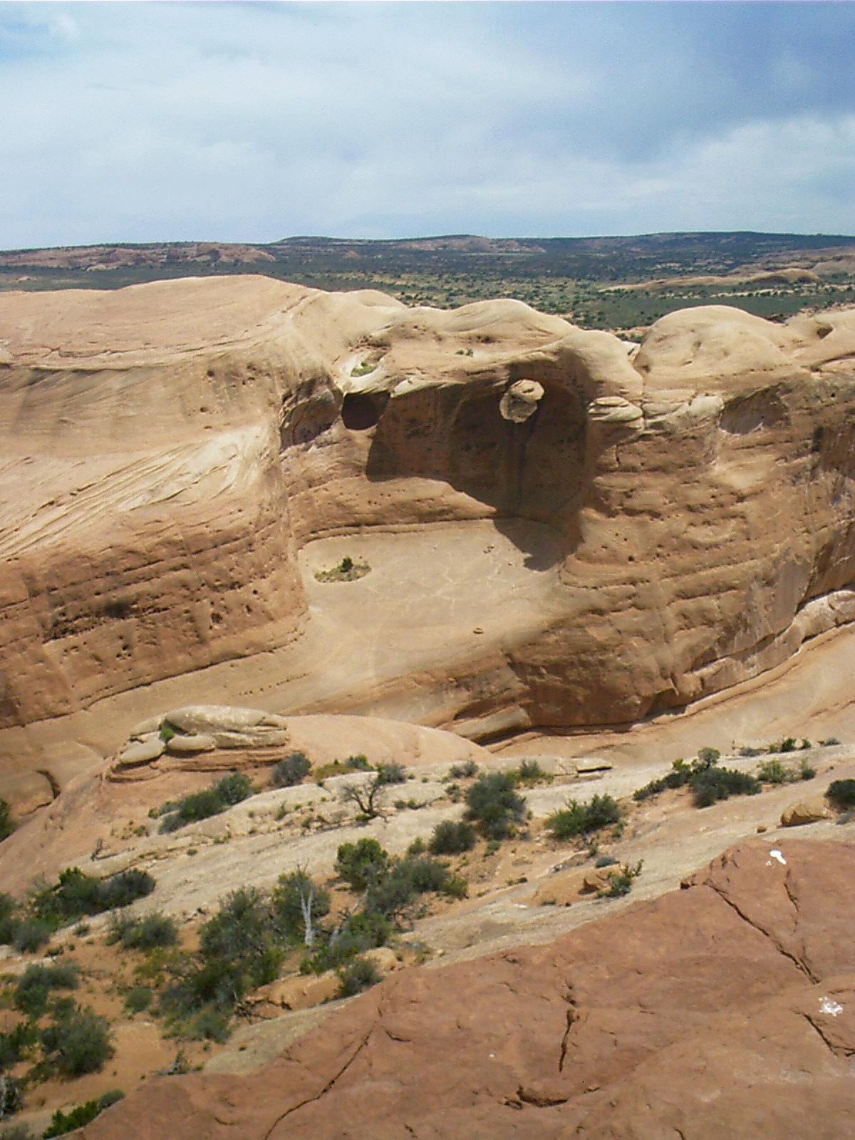
2007-06-21 12.00.16 — 0.3 MB — map
Arches NP
Topic: Moab, UTResolution: 1200 x 1600 Portrait
Grade: A
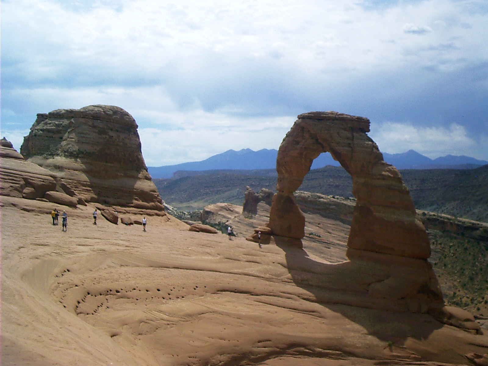
2007-06-21 12.02.14 — 0.4 MB — map
Delicate Arch, Arches NP
Topic: Moab, UTResolution: 1600 x 1200 Landscape
Grade: A
2007-06-21 12.19.50 — 0.3 MB — map
Delicate Arch Trail, Arches NP
Topic: Moab, UTResolution: 1200 x 1600 Portrait
Grade: B
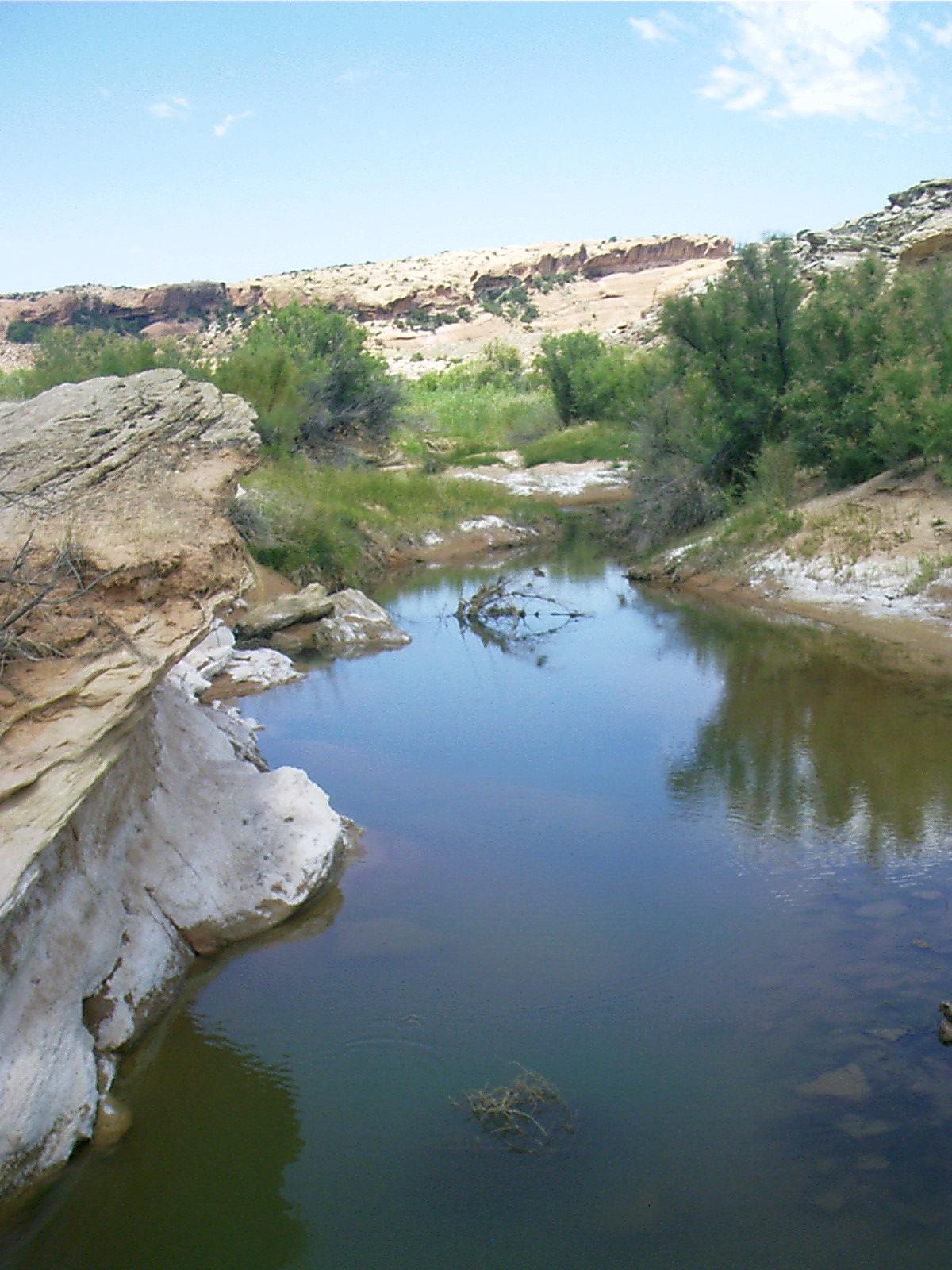
2007-06-21 12.41.08 — 0.2 MB — map
Salt Wash, Arches NP
Topic: Moab, UTResolution: 1200 x 1600 Portrait
Grade: B
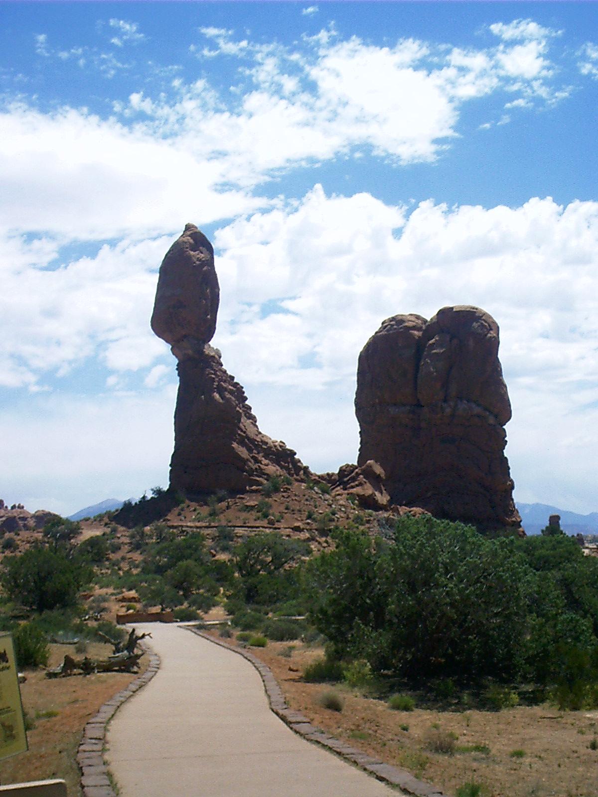
2007-06-21 13.03.54 — 0.2 MB — map
Balanced Rock, Arches, NP
Topic: Moab, UTResolution: 1200 x 1600 Portrait
Grade: A
2007-06-21 19.36.02 — 0.5 MB — map
La Sal Mountains from Pack Creek Ranch, Moab, UT
Resolution: 1600 x 1200 LandscapeGrade: C

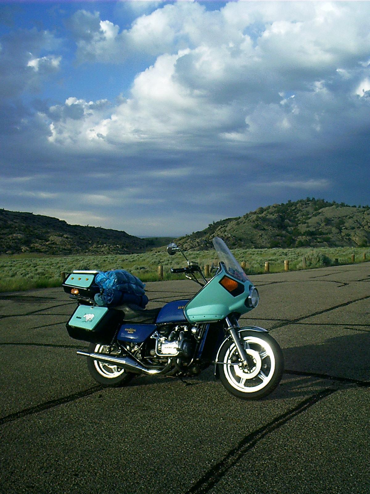
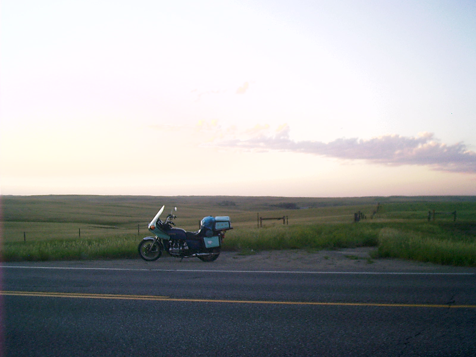
2007-06-22 13.58.48 — 0.4 MB — map
Geraldine Turns 100K Near Vernal, UT
Topic: TransportationResolution: 1600 x 1200 Landscape
Grade: C

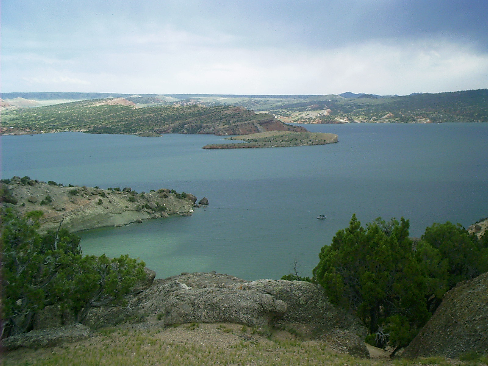
2007-06-22 14.57.56 — 0.5 MB — map
Flaming Gorge Reservoir, UT
Topic: TransportationResolution: 1600 x 1200 Landscape
Grade: C
2007-06-22 17.35.30 — 0.2 MB — map
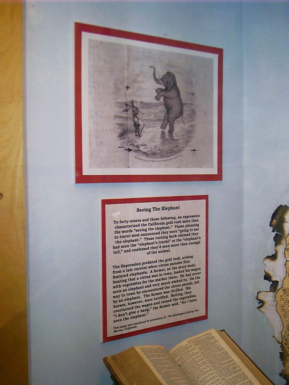
Marker, Seeing the Elephant, Fort Bridger, WY
Remarks: "'I think that I may without vanity affirm that I have "seen the elephant."' — Louisa Clapp"To forty-niners and those following, no expression characterized the California gold rush more than the words 'seeing the elephant.' Those planning to travel west announced they were 'going to see the elephant.' Those turning back claimed they had seen the 'elephant's tracks' or the 'elephant's tail,' and confessed they'd seen more than enough of the animal.
"The expression predated the gold rush, arising from a tale current when circus parades first featured elephants. A farmer, so the story went, hearing that a circus was in town, loaded his wagon with vegetables for the market there. He had never seen an elephant and very much wished to. On the way to town he encountered the circus parade, led by an elephant. The farmer was thrilled. His horses, however, were terrified. Bolting, they overturned the wagon and ruined the vegetables. 'I don't give a hang,' the farmer said, 'for I have seen the elephant.'
"For gold rushers, the elephant symbolized both the high cost of their endeavor — the myriad possibilities for misfortune on the journey or in California — and, like the farmer's circus elephant, an exotic sight, and unequaled experience, the adventure of a lifetime.
"'Oh, surely we are seeing the elephant, from the tip of his trunk to the end of his tail!' — Lucy Cooke"
• Levy, JoAnn. "Seeing the Elephant." Women in the Gold Rush. 21 June 2004. 21 Sept. 2007 <http://ourworld.compuserve.com/homepages/trailofthe49ers/elephant.htm>.
Resolution: 1200 x 1600 Portrait
Grade: *
2007-06-22 17.37.36 — 0.4 MB — map
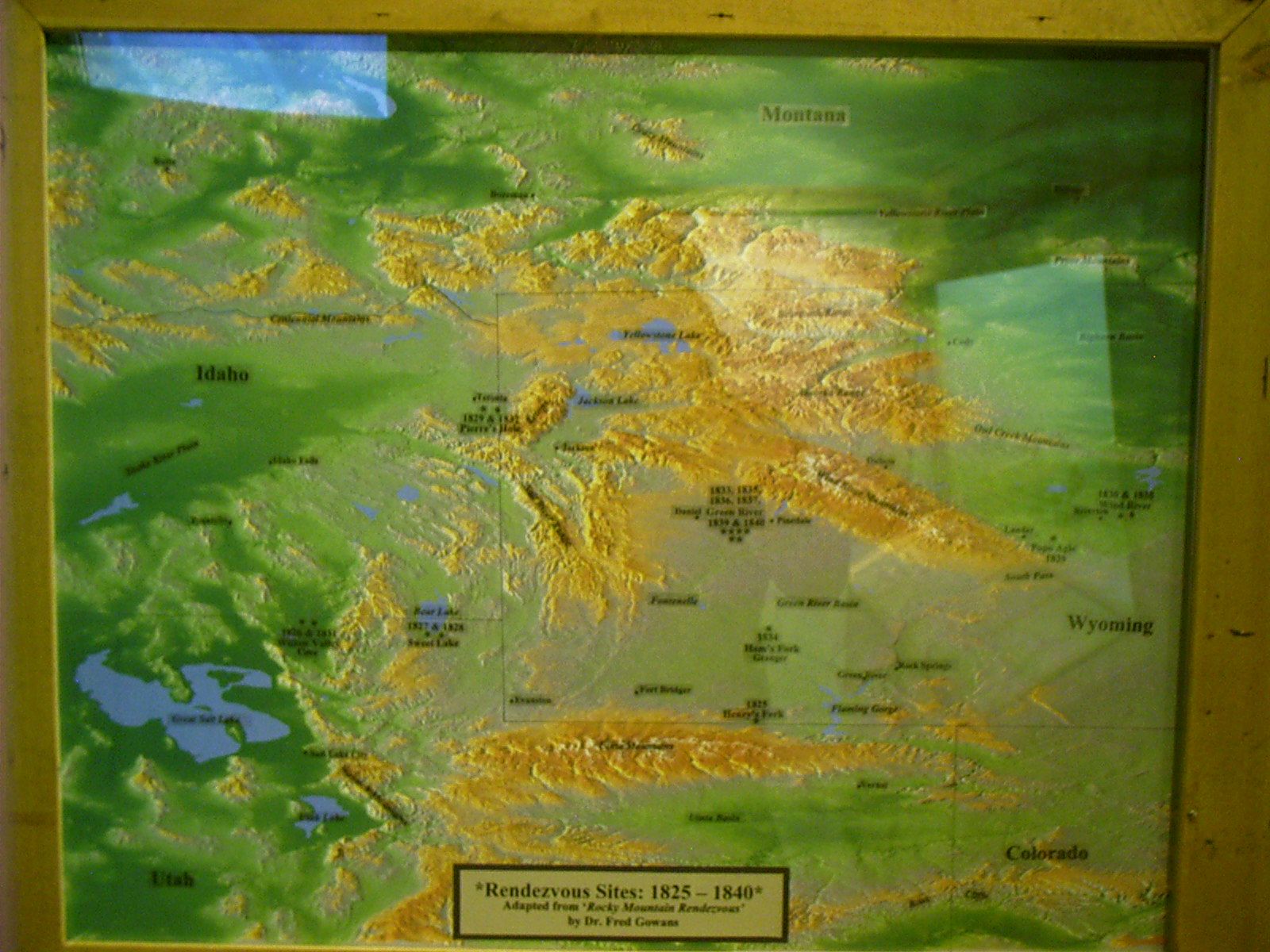
Marker, Rendezvous Map, Fort Bridger, WY
Remarks: • Eddins, Orland Ned. "Mountain Man Rendezvous Sites." Mountain Men Plains Indian Fur Trade History. 1 July 2007. 3 July 2007 <http://www.mountainsofstone.com/rendezvous_sites.htm>.Resolution: 1600 x 1200 Landscape
Grade: *
2007-06-22 17.38.32 — 0.4 MB — map
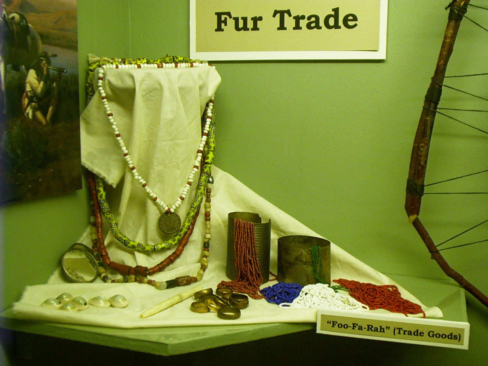
Foo-Fa-Rah, Fort Bridger, WY
Resolution: 1600 x 1200 LandscapeGrade: C
2007-06-22 17.54.00 — 0.8 MB — map
Fort Bridger, WY
Topic: DefenseResolution: 1600 x 1200 Landscape
Grade: A
2007-06-22 18.04.28 — 0.7 MB — map
Fort Bridger, WY
Resolution: 1600 x 1200 LandscapeGrade: C
2007-06-22 18.11.40 — 0.3 MB — map
Fort Bridger, WY
Resolution: 1200 x 1600 PortraitGrade: C
2007-06-22 18.13.58 — 0.3 MB — map
Pet Cemetery, Fort Bridger, WY
Remarks: "Thornburgh the Dog." RoadTrip America. 20 July 1999. 21 Sept. 2007 <http://www.roadtripamerica.com/animals/thorn.htm>.Resolution: 1200 x 1600 Portrait
Grade: B
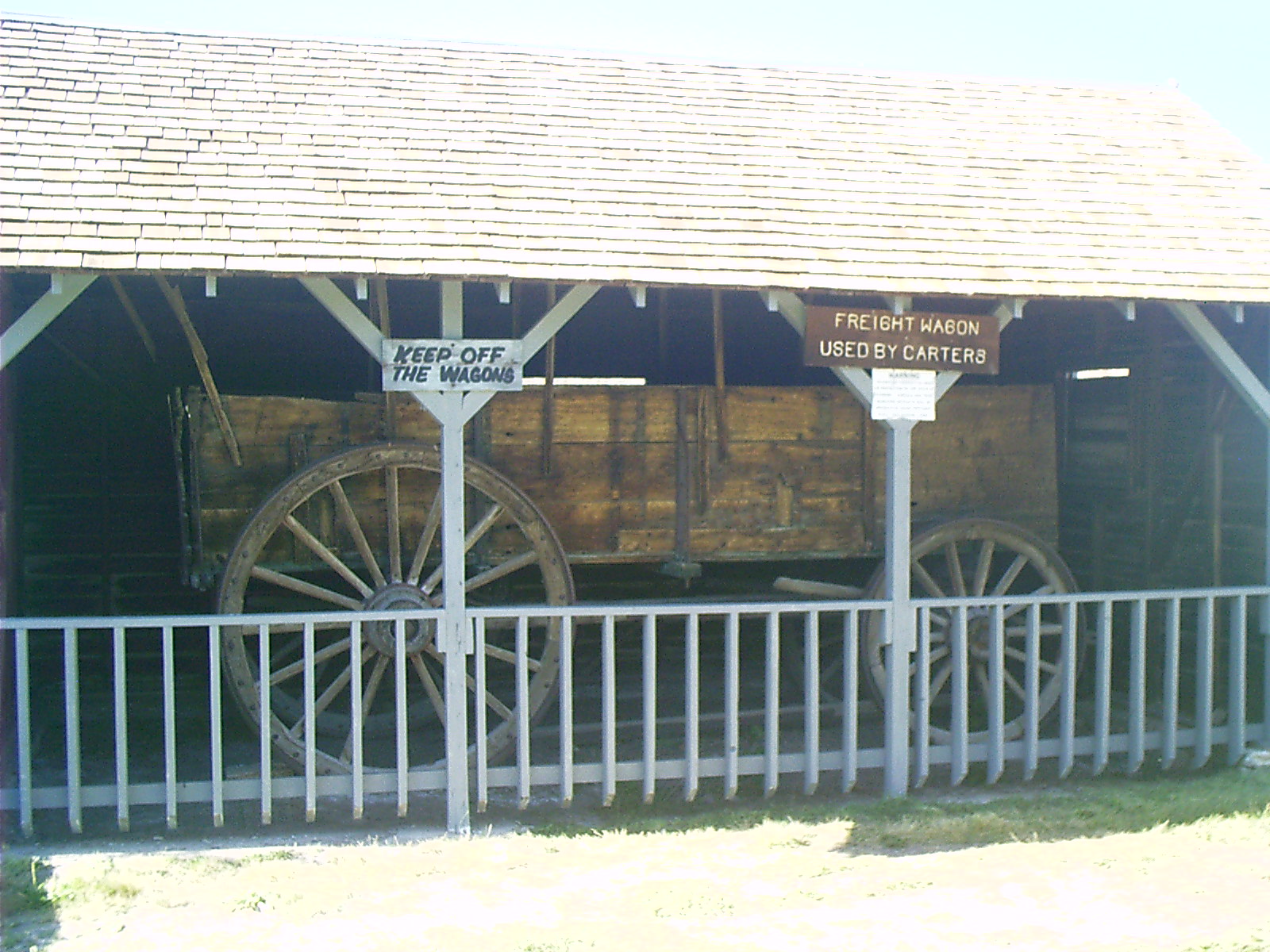
2007-06-22 18.15.28 — 0.5 MB — map
Freight Wagon, Fort Bridger, WY
Topic: DefenseResolution: 1600 x 1200 Landscape
Grade: D
2007-06-22 18.21.22 — 0.5 MB — map
School, Fort Bridger, WY
Resolution: 1600 x 1200 LandscapeGrade: C
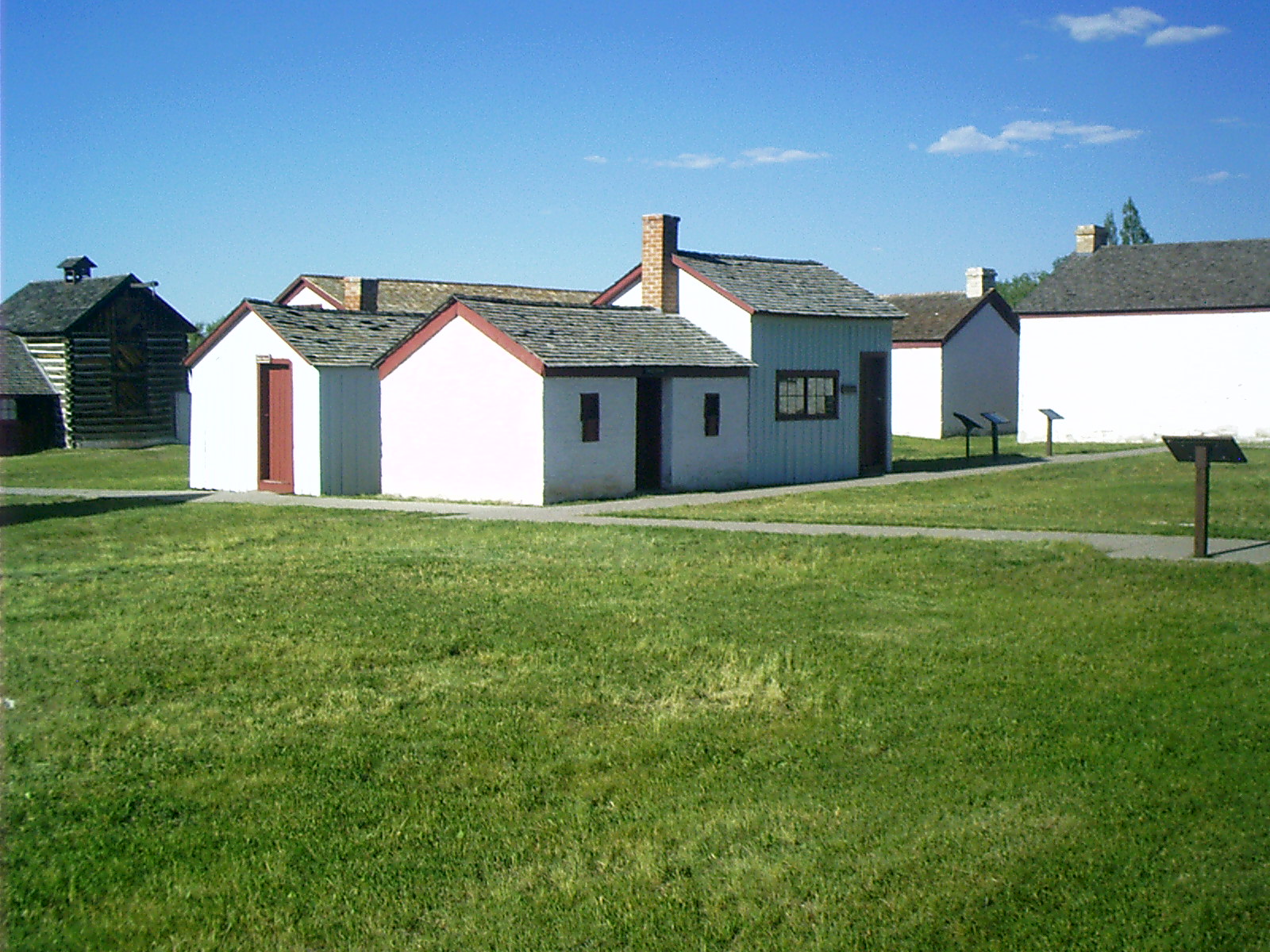
2007-06-22 18.23.22 — 0.3 MB — map
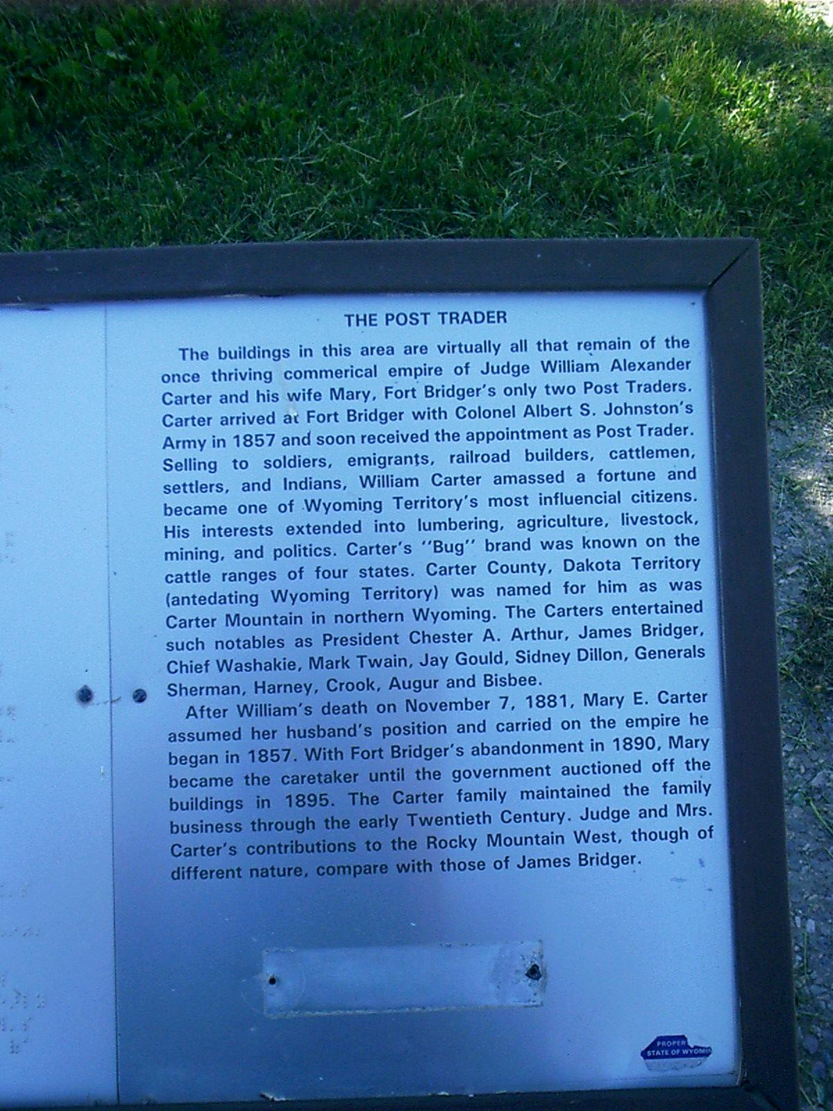
Marker, Carter, Fort Bridger
Remarks: "The Post Trader"The buildings in this area are virtually all that remain of the once thriving commercial empire of Judge William Alexander Carter and his wife Mary, Fort Bridger's only two Post Traders. Carter arrived at Fort Bridger with Colonel Albert S. Johnston's Army in 1857 and soon received the appointment as Post Trader. Selling to soldiers, emigrants, railroad builders, cattlemen, settlers, and Indians. William Carter amassed a fortune and became one of Wyoming Territory's most influencial [sic] citizens. His interests extended into lumbering, agriculture, livestock, mining, and politics. Carter's "Bug" brand was known on the cattle ranges of four states. Carter County, Dakota Territory (antedating Wyoming Territory) was named for him as was Carter Mountain in northern Wyoming. The Carters entertained such notables as President Chester A. Arthur, James Bridger, Chief Washakie, Mark Twain, Jay Gould, Sidney Dillon, Generals Sherman, Harney, Crook, Augur and Bisbee.
"After William's death on November 7, 1881, Mary E. Carter assumed her husband's position and carried on the empire he began in 1857. With For Bridger's abandonment in 1890, Mary became the caretaker until the government auctioned off the buildings in 1895. The Carter family maintained the family business through the early Twentieth Century. Judge and Mrs. Carter's contributions to the Rocky Mountain West, though of different nature, compare with those of James Bridger."
• "The Post Trader." Historical marker. Fort Bridger, WY. 22 June 2007.
Resolution: 1200 x 1600 Portrait
Grade: *
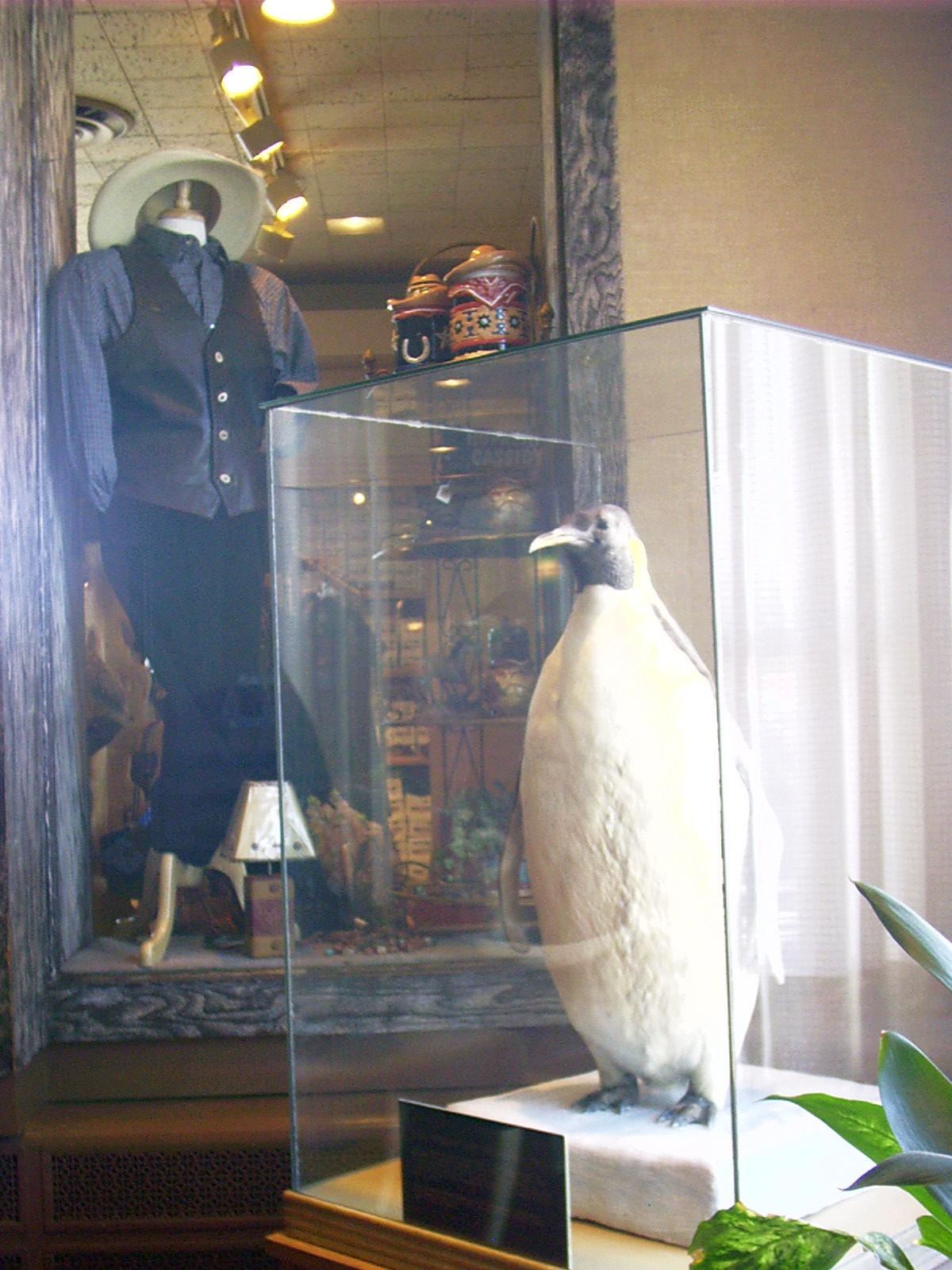
2007-06-23 11.40.00 — 0.2 MB — map
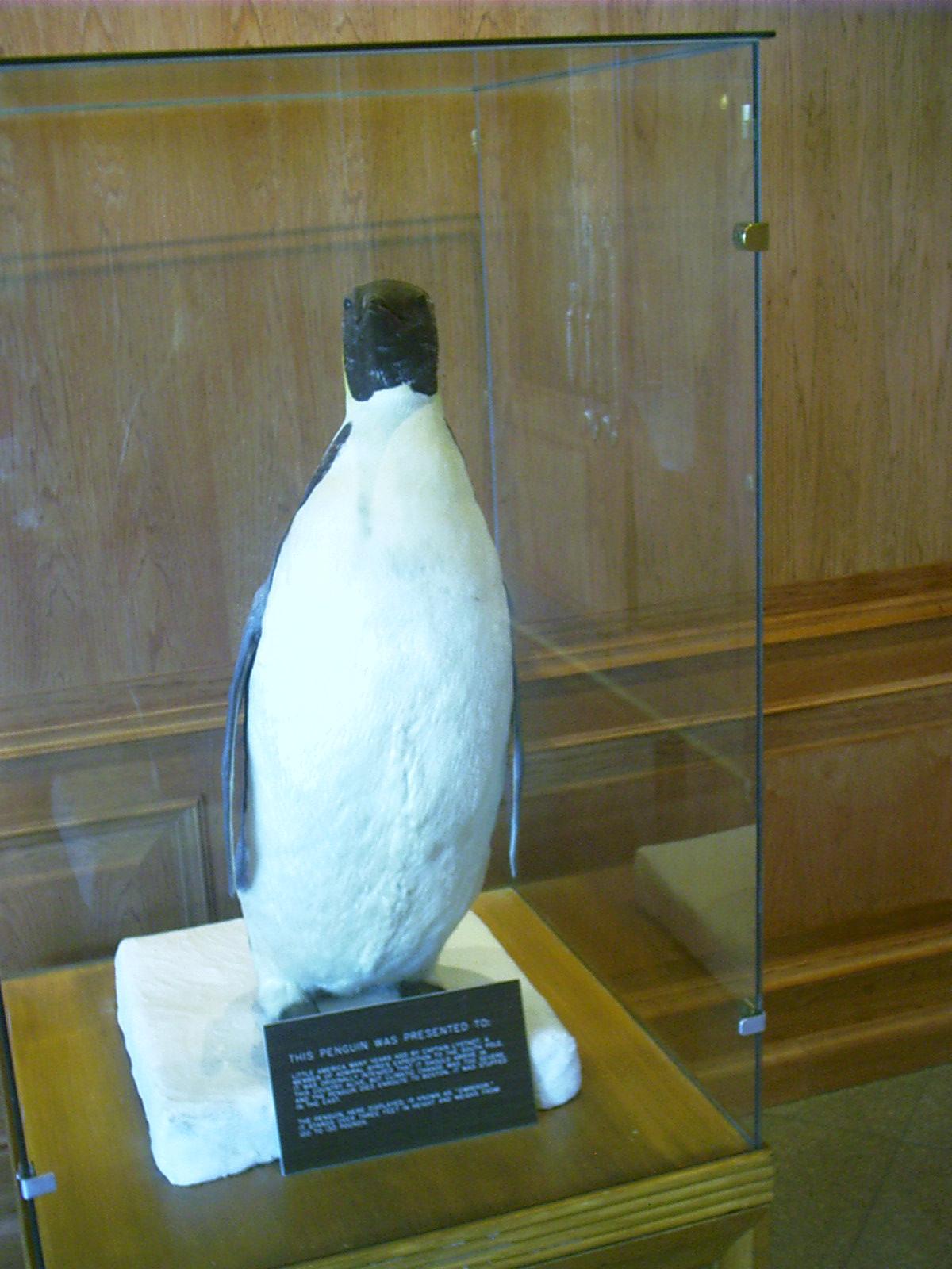
Stuffed Penguin, Little America, WY
Topic: TransportationResolution: 1200 x 1600 Portrait
Grade: D
2007-06-23 15.30.58 — 0.4 MB — map
Point of Rocks, WY, Today
Topic: TransportationResolution: 1600 x 1200 Landscape
Grade: C

2007-06-23 15.31.32 — 0.4 MB — map
Point of Rocks, WY, Restored
Topic: TransportationResolution: 1600 x 1200 Landscape
Grade: B

2007-06-23 15.34.34 — 0.6 MB — map
Marker, Overland Trail, Point of Rocks, WY
Remarks: "Overland Trail"The Overland Trail, passing between the Point of Rocks stage station and stable, served as a major east-west transportation route between the years 1862-1869. However, archeological [sic] discoveries in the vicinity of the trail indicate use by prehistoric people as early as 500 A.D.
"In 1812 Astorians under Robert Stuart crossed Wyoming from west to east along the course that would become the Oregon Trail. Trappers also traversed the area around Point of Rocks and in 1823 fur trade entrepreneur, William H. Ashley, recorded his east-west expedition through Wyoming along the path that was to become part of the Overland Trail. The John C. Fremont government expedition of 1843 took the same general route as Ashley but it was not until seven years later that an official description of the trail was recorded by Captain Howard Stansbury after mountain man, Jim Bridger, guided the Captain east over the pathway in search of a transcontinental railroad route.
"Familiarity with the Overland Trail was not limited to trappers and government explorers however. It had been known as the Cherokee Trail because of Indians who, beginning in 1849, used part of the same route. Under the leadership of Captain Lewis Evans of Arkansas the Cherokee people traveled to California in search of gold and land upon which to relocate.
"Early in 1862 the Central Overland California and Pikes Peak Express experienced a reorganization when Ben Holladay took over the stage business and the overland mail subsidy contract. The earliest central stage route had followed the Oregon Trail through Wyoming but in July, 1862, Holladay abandoned it in favor of the Overland Trail farther south and renamed the C.O.C. and P.P.E., the Overland Stage Company. Withdrawal of troops from various western forts during the Civil War made the Oregon Trail vulnerable to attacks by Indians. Also, the 1859 gold rush spurred economic development in the Colorado Rockies, resulting in a demand for daily mail and stagecoach service to connect Denver with the main transcontinental line. Finally, the southern route was 100 miles shorter than the Oregon Trail.
"Overland travel was not restricted to stagecoaches. Thousands of emigrants drove or walked beside covered wagons along this route as the sought new lands to settle in the West. Point of Rocks station, a well-used resting place and water stop for thirsty horses, did not see the last of Overland emigrants until after 1900."
• "Overland Trail." Historical marker. Point of Rocks, WY. 23 June 2007.
Resolution: 1600 x 1200 Landscape
Grade: *

2007-06-23 15.38.26 — 0.6 MB — map
Marker, Point of Rocks, WY
Remarks: "Stage Station"Stage stations along the Overland Trail, spaced from ten to fourteen miles apart, were built of indigenous materials. In Wyoming, stations west of the Continental Divide were built of sandstone while those east of the Divide were usually constructed of pine logs.
"The Stations were not all alike in number of buildings or in services offered to the traveler. Some had merely one room and a few pieces of furniture. Nearby, or attached to the simple structures, were corrals for livestock. Known as "swing" stations these stops usually offered the traveler a poor bill of fare.
"'The rocking chairs and sofas were not present … but they were represented by two three-legged stools, a pineboard bench four feet long, and two empty candle-boxes. The table was a greasy board on stilts … A battered tin platter, a knife and fork, and a tin pint cup were seen at each man's place….' (Roughing It, 1886)
"Thus Mark Twain described his stop at a swing station not unlike Point of Rocks. 'Home' stations had several buildings offering larger and more commodious quarters, overnight sleeping rooms, and served better food than could be found at swing stations.
"During the days of the Overland Mail Company, 1862-1869, Point of Rocks served as a swing station. Later due to increased railroad, stage and freighting activities, it became an important home station for Wells Fargo and Company passenger and mail coaches. Eventually settlers moved into the region, a store for supplies was opened, a hotel and boarding house was built, and rock dwellings were constructed. The population was also increased by railroad agents and section men who made Point of Rocks their home.
"Through the years the Point of Rocks station functioned as a stage and freight stop, school, ranch headquarters, and home. Before restoration by the State of Wyoming in 1974, a recluse who reportedly was a former member of Butch Cassidy's 'Wild Bunch' occupied the building until he died in 1946."
• "Stage Station." Historical marker. Point of Rocks, WY. 23 June 2007.
Resolution: 1600 x 1200 Landscape
Grade: *
2007-06-23 15.39.14 — 0.3 MB — map
Point of Rocks, WY, Stage Station Interior Detail
Topic: TransportationResolution: 1200 x 1600 Portrait
Grade: B
2007-06-23 15.40.58 — 0.5 MB — map
Ruts, Point of Rocks, WY
Resolution: 1600 x 1200 LandscapeGrade: C

2007-06-23 15.43.50 — 0.6 MB — map
Geraldine, Point of Rocks, WY
Resolution: 1600 x 1200 LandscapeGrade: C

2007-06-23 19.24.42 — 0.2 MB — map
Snowy Range Road, Medicine Bow NF
Resolution: 1200 x 1600 PortraitGrade: D
2007-06-23 19.26.18 — 0.3 MB — map
Snowy Range Road, Medicine Bow National Forest
Topic: The Fur TradeResolution: 1200 x 1600 Portrait
Grade: C
2007-06-23 19.29.14 — 0.3 MB — map
Glaciation, Snowy Range Road, Medicine Bow NF
Resolution: 1200 x 1600 PortraitGrade: C
2007-06-23 19.33.36 — 0.4 MB — map
Krummholz, Snowy Range Road, Medicine Bow NF
Resolution: 1600 x 1200 LandscapeGrade: D

2007-06-23 19.40.48 — 0.6 MB — map
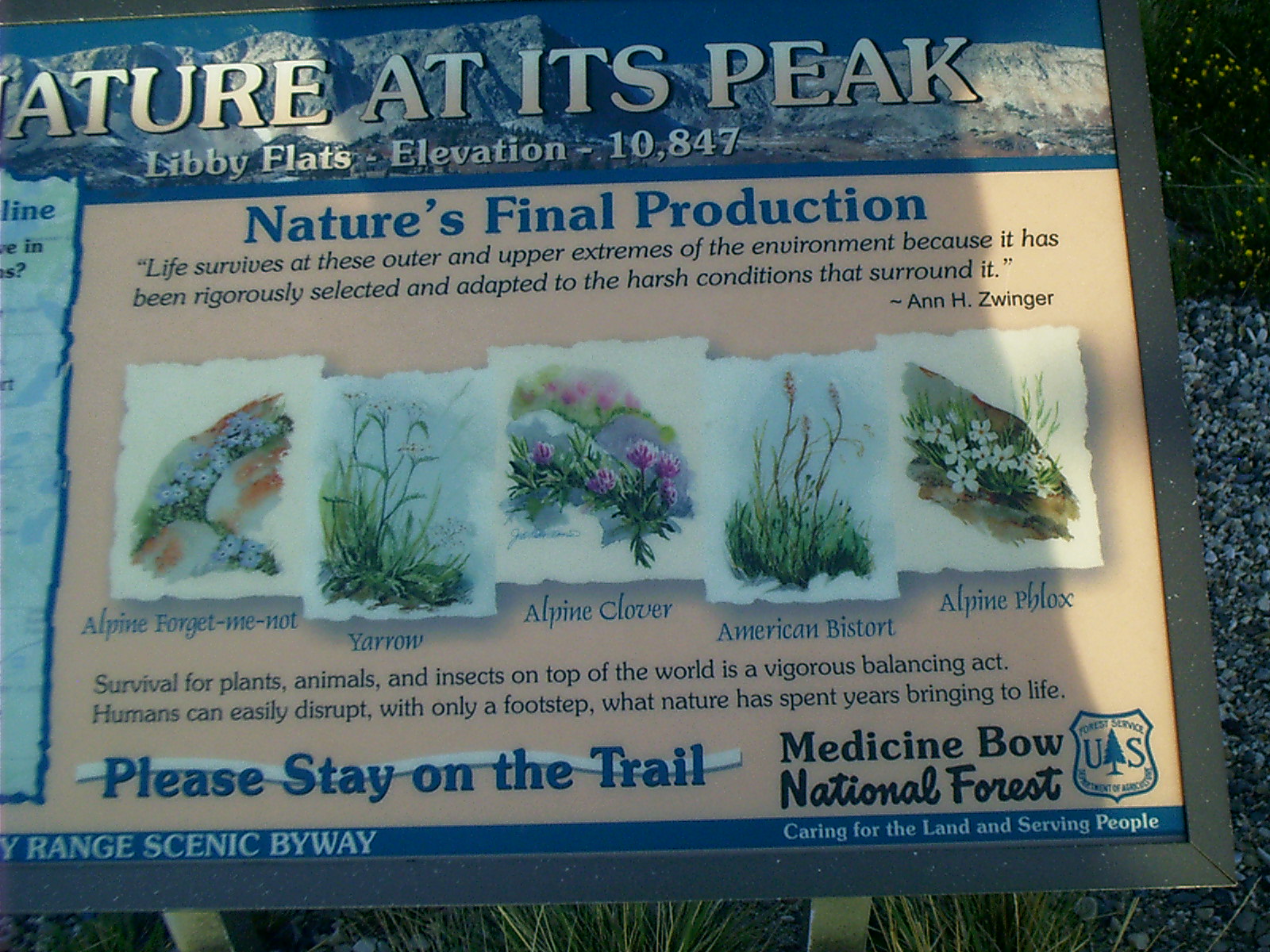
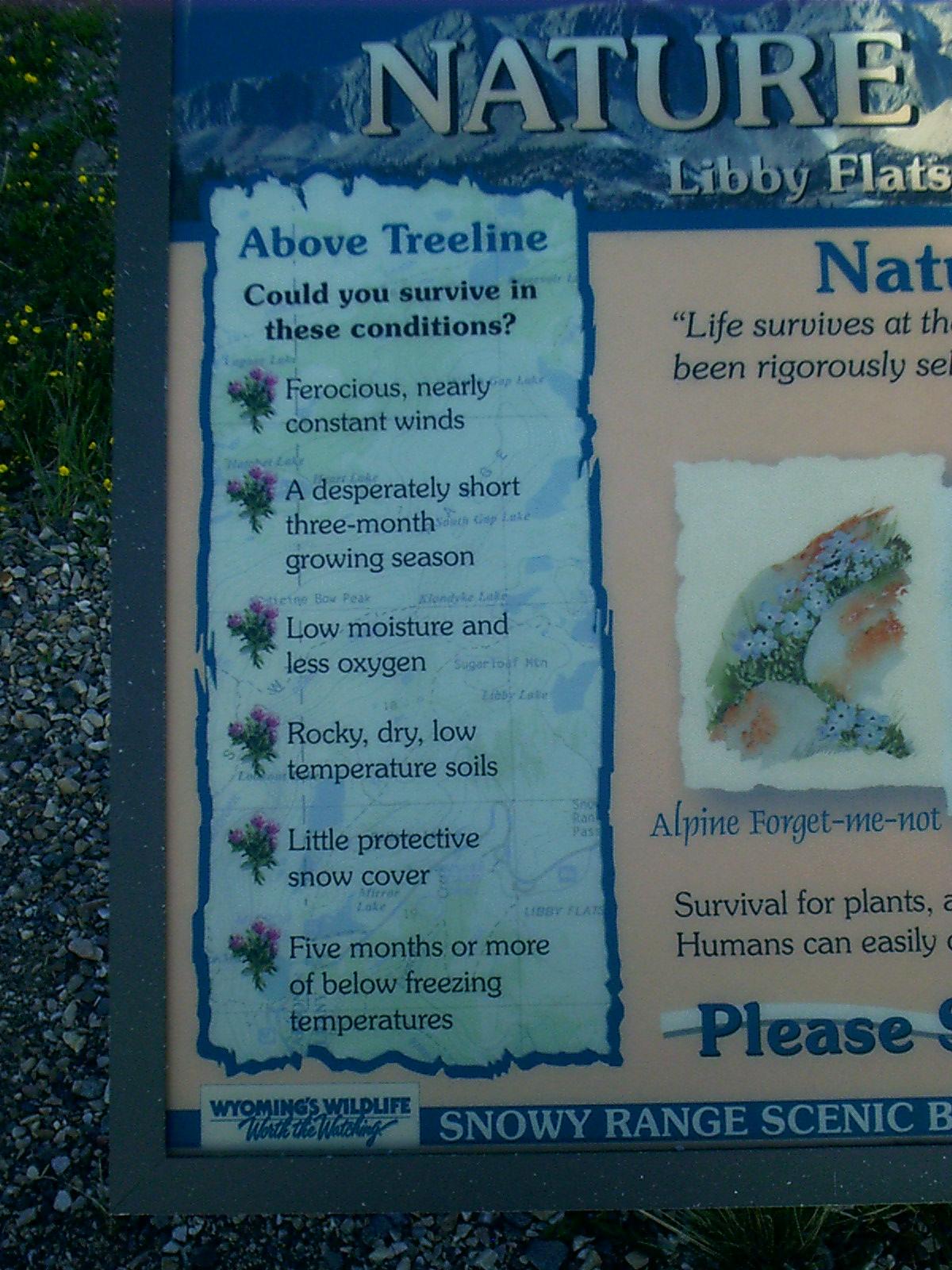
Marker, Alpine Meadow, Snowy Range Road, Medicine Bow NF
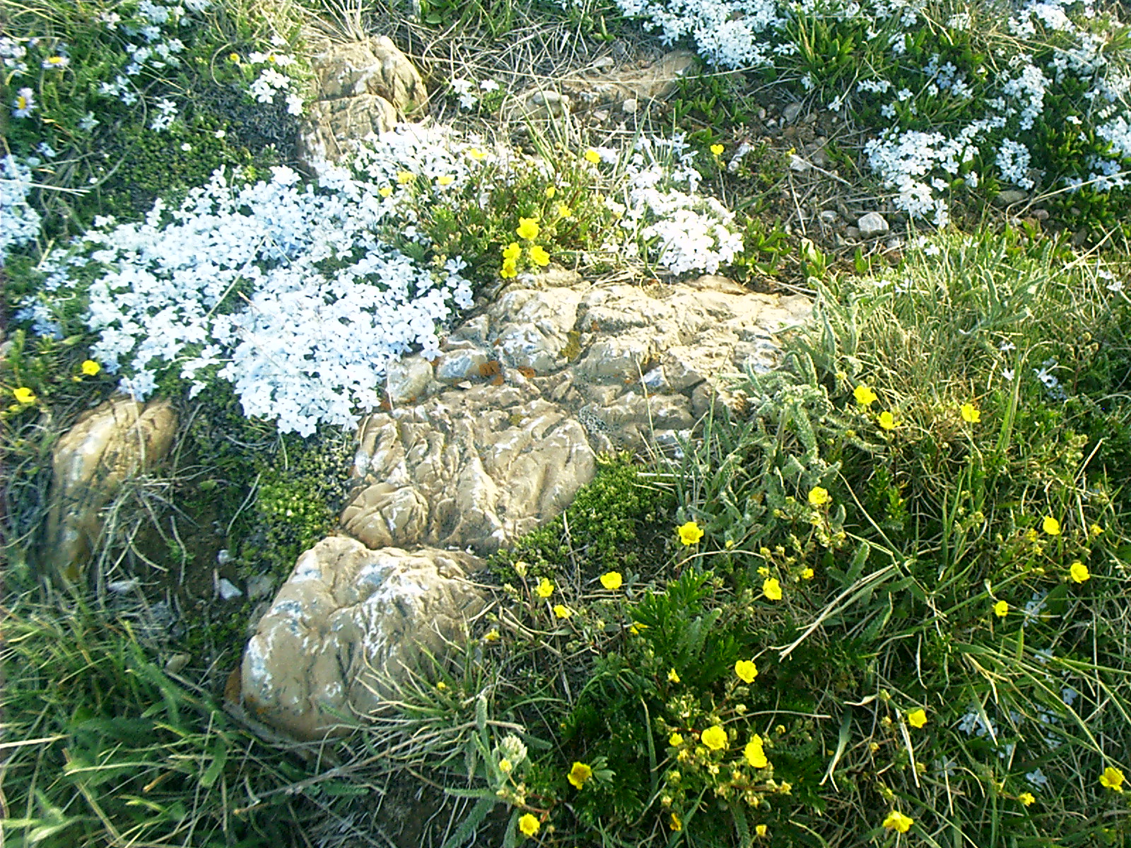
Remarks: "Moss Campion (Silene Acaulis)"Considered 'fast growing,' an alpine cushion plant can grow one half inch in five years. Profuse blooming occurs only after twenty years. The 'cushion' protects new growth by allowing wind to flow smoothly over the plant. A tenacious tap root seeks moisture from the rocky soil and anchors the plant from the wind. The Plants you see may be over one hundred years old."
• United States. Dept. of Agriculture. Forest Service. "Small Plants, Big Hearts." Roadside marker. Laramie, WY. 23 June 2007.
Resolution: 1600 x 1200 Landscape
Grade: *
2007-06-23 19.46.14 — 0.4 MB — map
Libby Flats, Snowy Range Road, Medicine Bow NF
Topic: The Fur TradeResolution: 1600 x 1200 Landscape
Grade: C
2007-06-23 19.47.34 — 0.9 MB — map
Alpine Flowers, Snowy Range Road, Medicine Bow NF
Topic: The Fur TradeResolution: 1600 x 1200 Landscape
Grade: C
2007-06-23 19.48.40 — 0.5 MB — map
Marker, Alpine Meadow, Snowy Range Road, Medicine Bow NF
Resolution: 1600 x 1200 LandscapeGrade: *
2007-06-23 19.48.50 — 0.3 MB — map
Marker, Alpine Meadow, Snowy Range Road, Medicine Bow NF
Resolution: 1200 x 1600 PortraitGrade: *
2007-06-23 20.00.44 — 0.5 MB — map
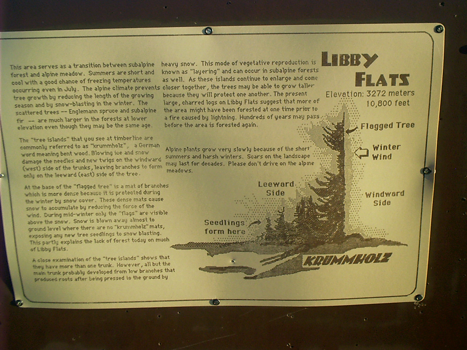
Marker, Krummholz, Snowy Range Road, Medicine Bow NF
Remarks: "This area serves as a transition between subalpine forest and alpine meadow. Summers are short and cool with a good chance of freezing temperatures occurring even in July. The alpine climate prevents tree growth by reducing the length of the growing season and by snow-blasting in the winter. The scattered trees — Englemann spruce and subalpine fir — are much larger in the forests at lower elevation even though they may be the same age."The 'tree islands' that you see at timberline are commonly referred to as 'krummholz,' a German word meaning bent wood. Blowing ice and snow damage the needles and new twigs on the windward (west) side of the trunks, leaving branches to form only on the leeward (east) side of the tree.
"At the base of the 'flagged tree' is a mat of branches which is more dense because it is protected during the winter by snow cover. These dense mats cause snow to accumulate by reducing the force of the wind. During mid-winter only the 'flags' are visible above the snow. Snow is blown away almost to ground level where there are no 'krummholz' mats, exposing any new tree seedlings to snow blasting. This partly explains the lack of forest today on much of Libby Flats.
"A close examination of the 'tree islands' shows that they have more than one trunk. However, all but the main trunk probably developed from low branches that produced roots after being pressed to the ground by heavy snow. This mode of vegetative reproduction is known as 'layering' and can occur in subalpine forests as well. As these islands continue to enlarge and come closer together, the trees may be able to grow taller because they will protect one another. The present, large charred logs on Libby Flats suggest that more of the area might have been forested at one time prior to a fire caused by lightning. Hundreds of years may pass before the area is forested again.
"Alpine plants grow very slowly because of the short summers and harsh winters. Scars on the landscape may last for decades. Please don't drive on the alpine meadows."
• Roadside marker. 23 June 2007. Laramie, WY.
Resolution: 1600 x 1200 Landscape
Grade: *

2007-06-23 20.27.16 — 0.3 MB — map
Horses, Snowy Range Road, Centennial, WY
Resolution: 1600 x 1200 LandscapeGrade: D
2007-06-24 11.47.52 — 0.3 MB — map
Geraldine, Summit Turnout, I-80, Laramie, WY
Resolution: 1200 x 1600 PortraitGrade: D
2007-06-24 11.49.02 — 0.6 MB — map
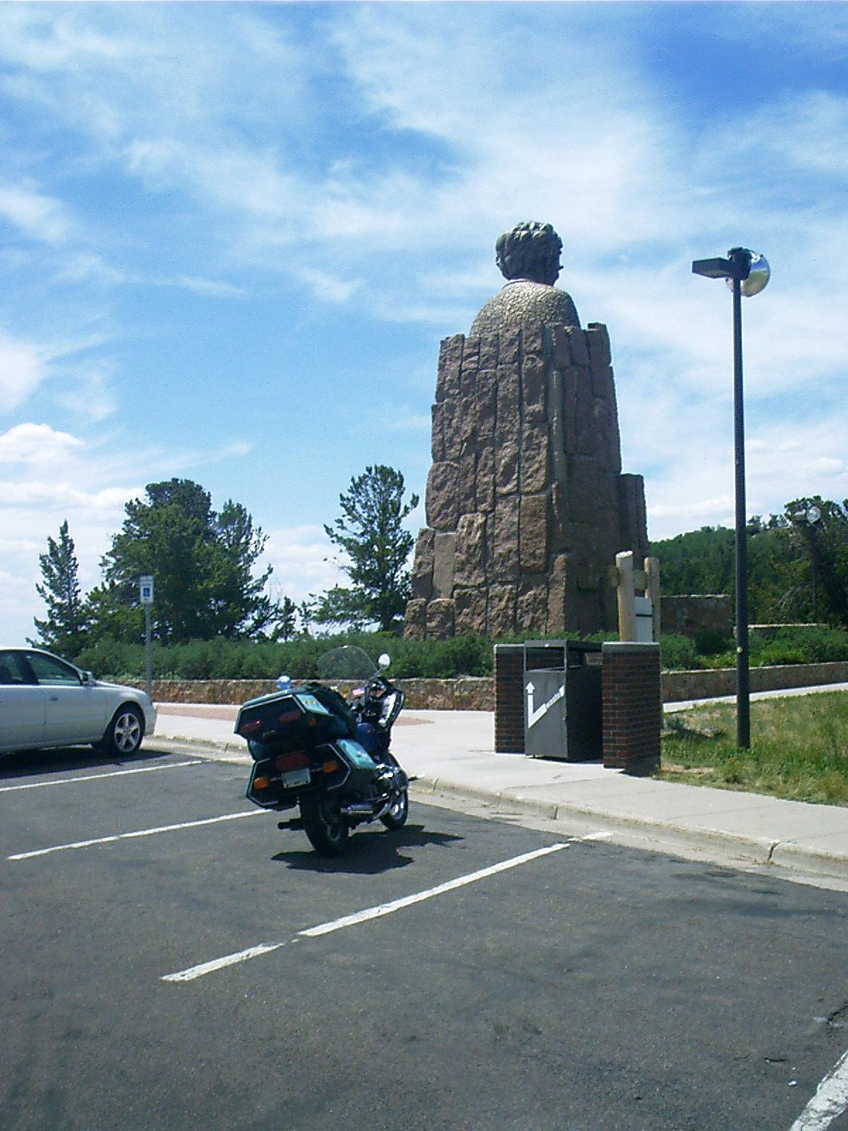
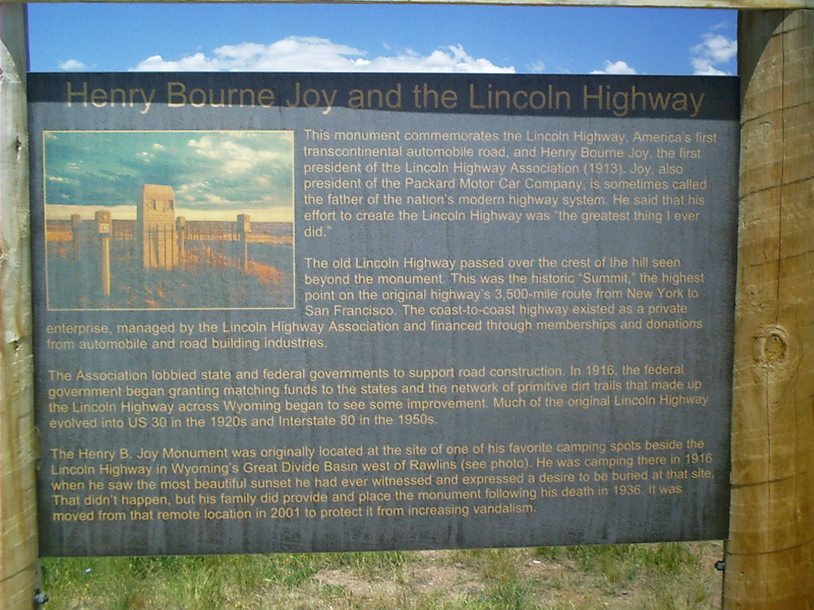
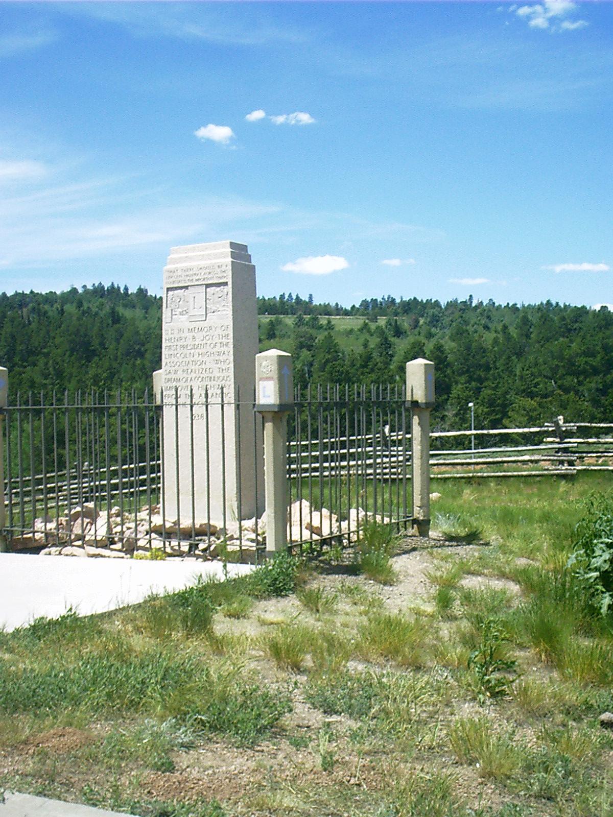
Marker, Lincoln Highway, Summit Turnout, I-80, Laramie, WY
Remarks: "Henry Bourne Joy and the Lincoln Highway"This monument commemorates the Lincoln Highway, America's first transcontinental automobile road, and Henry Bourne Joy, the first president of the Lincoln Highway Association (1913). Joy, also president of the Packard Motor Car Company, is sometimes called the father of the nation's modern highway system. He said that his effort to create the Lincoln Highway was 'the greatest thing I every did.'
"The Old Lincoln Highway passed over the crest of the hill seen beyond the monument. This was the historic 'Summit,' the highest point on the original highway's 3,500-mile route from New York to San Francisco. The coast to cost highway existed as a private enterprise, managed by the Lincoln Highway Association and financed through memberships and donations from automobile and road building industries.
"The Association lobbied state and federal governments to support road construction. In 1916, the federal government began granting matching funds to the states and the network of primitive dirt trails that made up the Lincoln Highway across Wyoming began to see some improvement. Much of the original Lincoln Highway evolved into US 30 in the 1920s and Interstate 80 in the 1950s.
"The Henry B. Joy Monument was originally located at the site of one of his favorite camping spots beside the Lincoln Highway in Wyoming's Great Divide Basin west of Rawlins (see photo). He was camping there in 1915 when he saw the most beautiful sunset he had ever witnessed and expressed a desire to be buried at that site. That didn't happen, but his family did provide and place the monument following his death in 1936. It was moved from that remote location in 2001 to protect it from increasing vandalism."
• "Henry Bourne Joy and the Lincoln Highway." Roadside marker. 24 June 2007. Laramie, WY.
Resolution: 1600 x 1200 Landscape
Grade: *
2007-06-24 11.50.30 — 0.3 MB — map
Old Lincoln Highway Alignment, Summit Turnout, I-80, Laramie, WY
Resolution: 1200 x 1600 PortraitGrade: C
2007-06-24 11.52.18 — 0.3 MB — map
Lincoln Monument, Summit Turnout, I-80, Laramie, WY
Topic: TransportationResolution: 1200 x 1600 Portrait
Grade: B
2007-06-24 12.19.28 — 0.2 MB — map
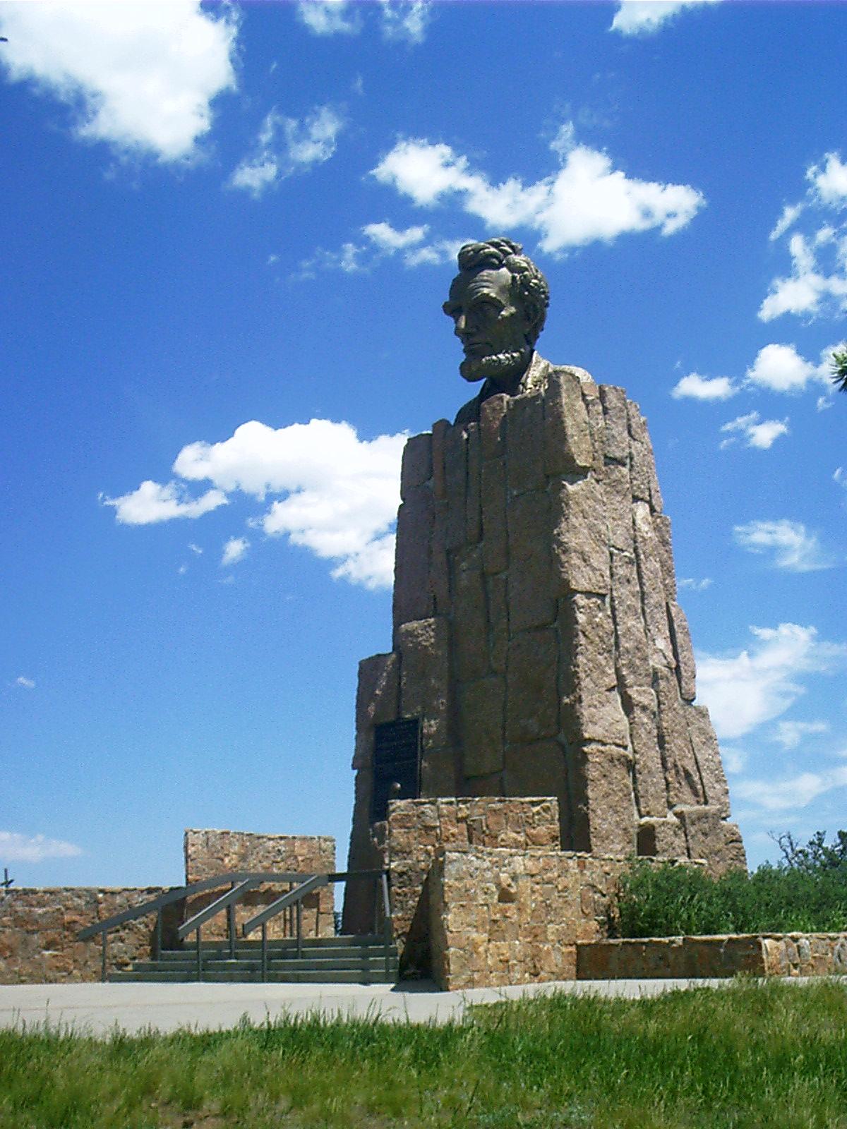
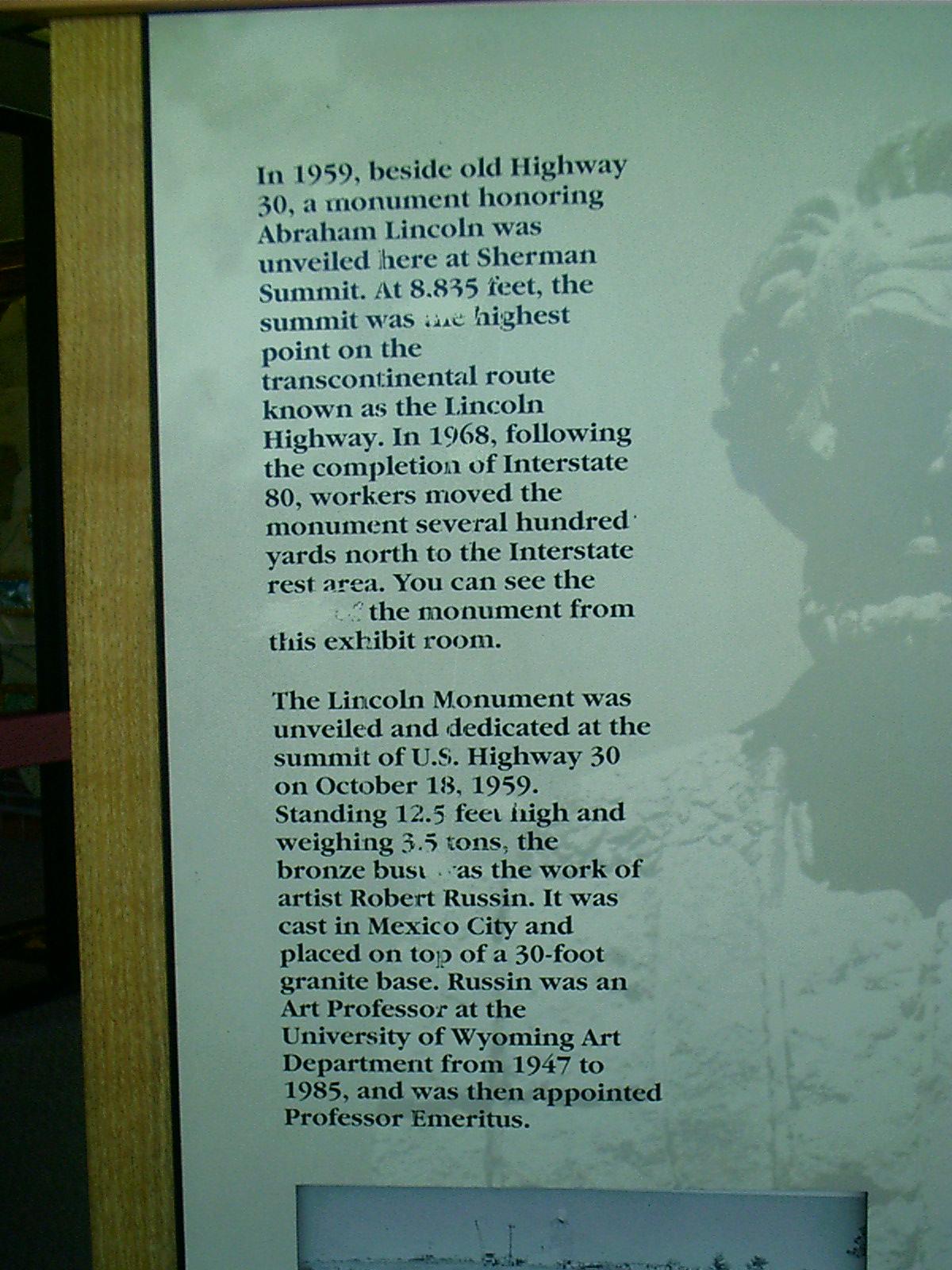
Marker, Lincoln Monument, Summit Turnout, I-80, Laramie, WY
Remarks: "In 1959, beside old Highway 30, a monument honoring Abraham Lincoln was unveiled here at Sherman Summit. At 8,835 feet, the summit was the highest point on the transcontinental route known as the Lincoln Highway. In 1968, following the completion of Interstate 80, workers moved the monument several hundred yards north to the Interstate rest area. You can see the [side] of the monument from this exhibit room."The Lincoln Monument was unveiled and dedicated at the summit of U.S. Highway 30 on October 18, 1959. Standing 12.5 feet high and weighing 3.5 tones, the bronze bust was the work of artist Robert Russin. It was cast in Mexico City and placed on top of a 30-foot granite base. Russin was an Art Professor at the University of Wyoming Art Department from 1947 to 1985, and was then appointed Professor Emeritus."
• Roadside marker. 24 June 2007. Laramie, WY.
Resolution: 1200 x 1600 Portrait
Grade: *
2007-06-24 12.40.16 — 0.7 MB — map
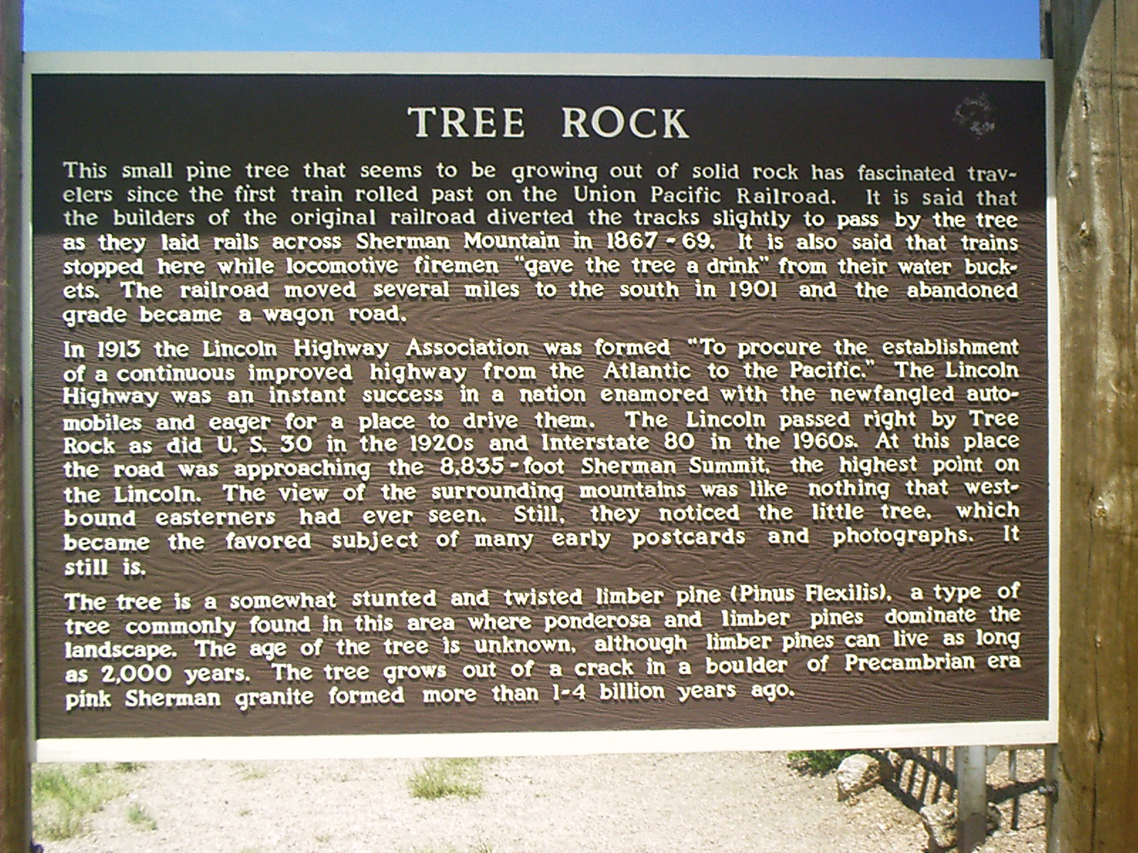
Marker, Tree Rock, I-80, Laramie, WY
Remarks: "Tree Rock"This small pine tree that seems to be growing out of solid rock has fascinated travelers since the first train rolled past on the Union Pacific Railroad. It is said that the builders of the original railroad diverted the tracks slightly to pass by the tree as they laid rails across Sherman Mountain in 1867-69. It is also said that trains stopped here while locomotive firemen 'gave the tree a drink' from their water buckets. The railroad moved several miles to the south in 1901 and the abandoned grade became a wagon road.
"In 1913 the Lincoln Highway Association was formed 'To procure the establishment of a continuous improved highway from the atlantic to the Pacific.' The Lincoln Highway was an instant success in a nation enamored with the newfangled automobiles and eager for a place to drive them. The Lincoln passed right by Tree Rock as did U. S. 30 in the 1920s and Interstate 80 in the 1960s. At this place the road was approaching the 8,835-foot Sherman Summit, the highest point on the Lincoln. The view of the surrounding mountains was like nothing that west-bound easterners [sic] had ever seen. Still, they noticed the little tree, which became the favored subject of many early postcards and photographs. It still is.
"The tree is a somewhat stunted and twisted limber pine (Pinus flexilis), a type of tree commonly found in this area where ponderosa and limber pines dominate the landscape. The age of the tree is unknown, although limber pines can live as long as 2,000 years. The tree grows out of a crack in a boulder of Precambrian era pink Sherman granite formed more than 1-4 billion years ago."
• "Tree Rock." Roadside marker. 24 June 2007. Laramie, WY.
Resolution: 1600 x 1200 Landscape
Grade: *
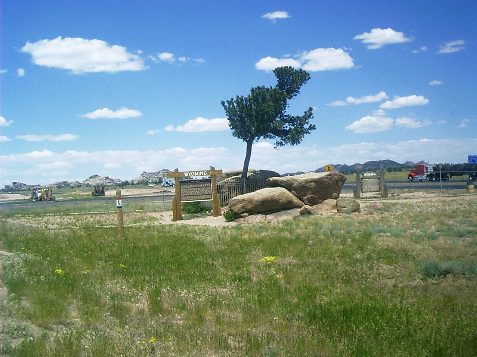
2007-06-24 12.43.38 — 0.5 MB — map
Tree Rock, I-80, Laramie, WY
Topic: TransportationResolution: 1600 x 1200 Landscape
Grade: C
2007-06-24 13.25.48 — 0.2 MB — map
Stuffed Penguin, Little America, Cheyenne, WY
Topic: TransportationResolution: 1200 x 1600 Portrait
Grade: D
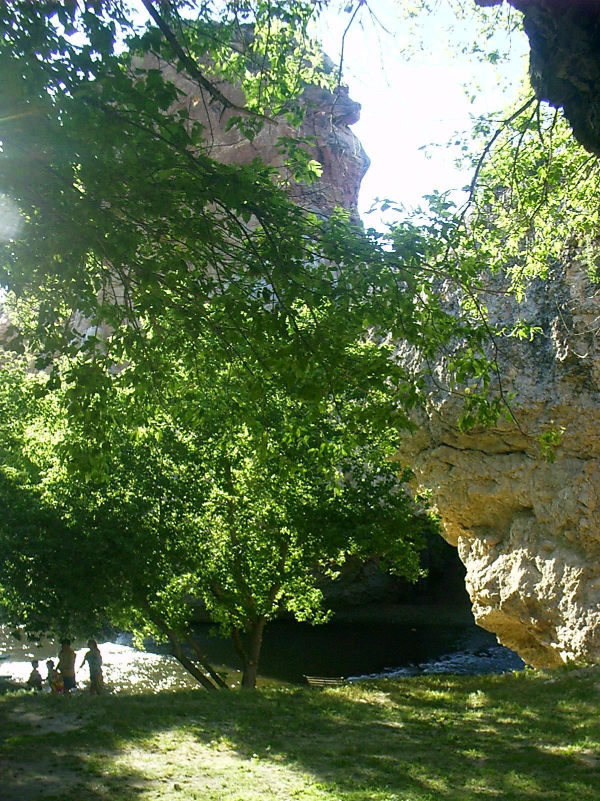
2007-06-24 18.41.36 — 0.8 MB — map
Ayres Natural Bridge, Douglas, WY
Resolution: 1600 x 1200 LandscapeGrade: C
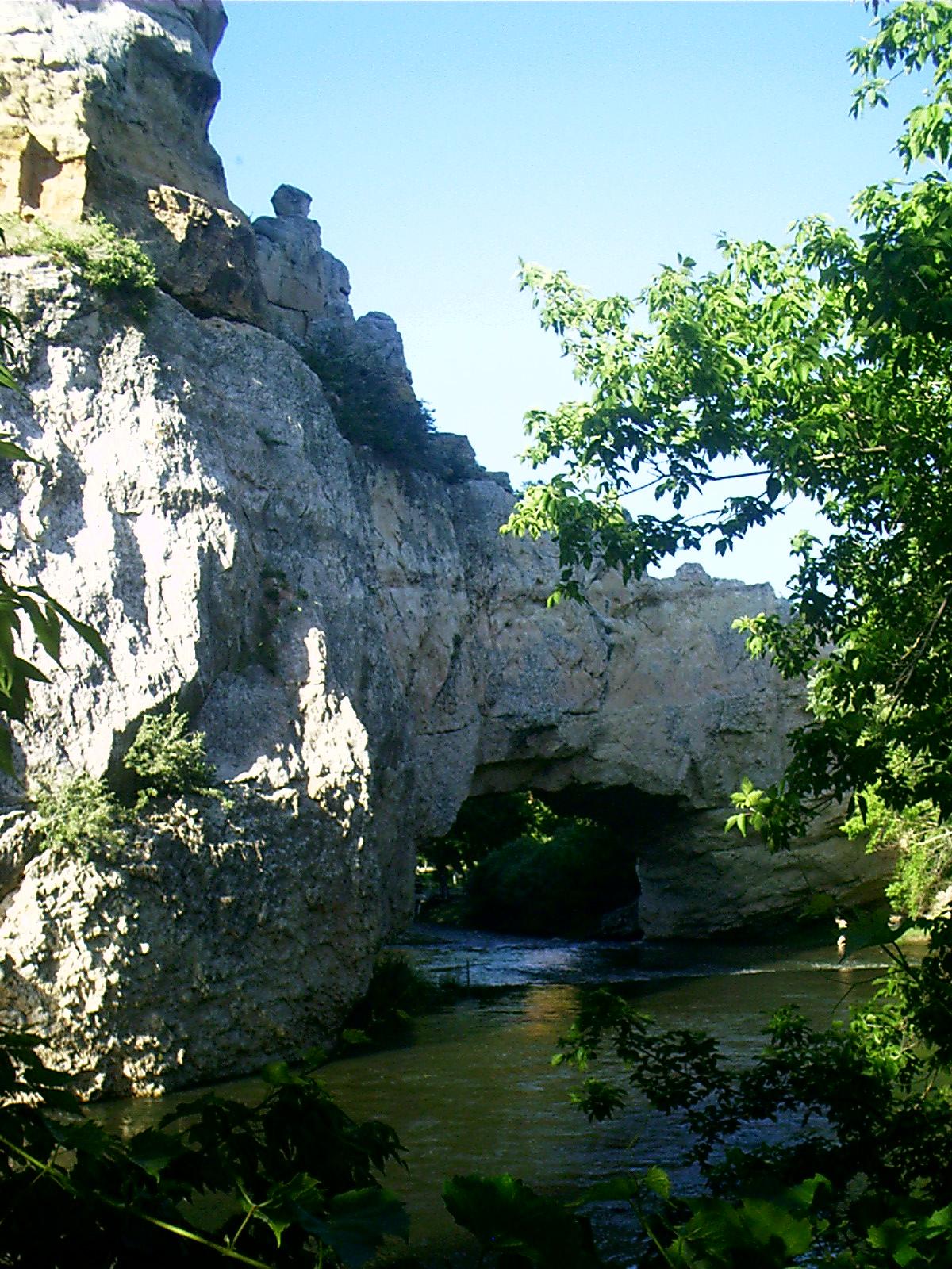
2007-06-24 18.41.54 — 0.5 MB — map
Ayres Natural Bridge, Douglas, WY
Resolution: 1200 x 1600 PortraitGrade: C
2007-06-24 18.44.52 — 0.4 MB — map
Ayres Natural Bridge, Douglas, WY
Topic: Seeing the ElephantResolution: 1200 x 1600 Portrait
Grade: A
2007-06-24 20.17.16 — 0.3 MB — map
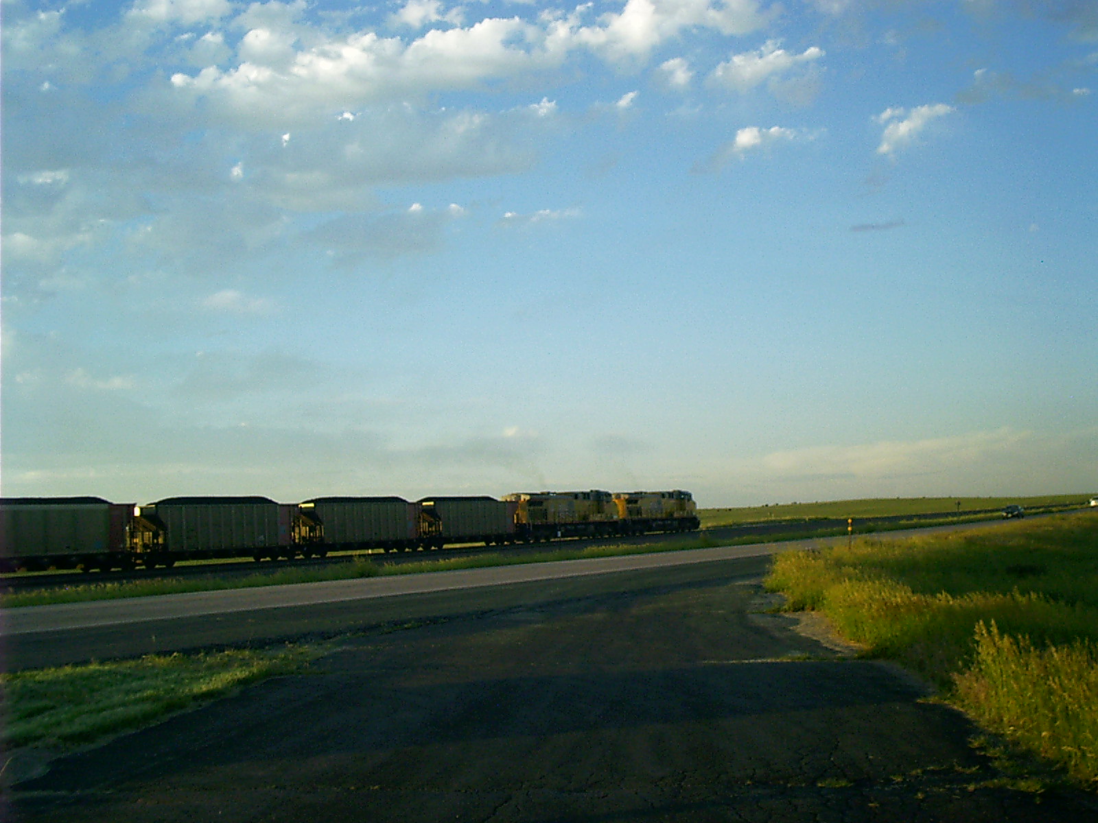
BNSF Train, Lusk, WY
Topic: TransportationResolution: 1600 x 1200 Landscape
Grade: C
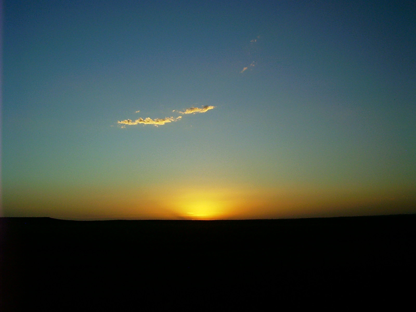
2007-06-24 20.43.28 — 0.2 MB — map
Sunset, Lusk, WY
Topic: DefenseResolution: 1600 x 1200 Landscape
Grade: A
2007-06-24 20.44.26 — 0.3 MB — map
Sunset, Lusk, WY
Topic: ExtractionResolution: 1600 x 1200 Landscape
Grade: C
2007-06-24 20.44.38 — 0.3 MB — map
Sunset, Lusk, WY
Resolution: 1600 x 1200 LandscapeGrade: C
2007-06-24 20.46.00 — 0.3 MB — map
Geraldine, Lusk, WY
Topic: TransportationResolution: 1600 x 1200 Landscape
Grade: C
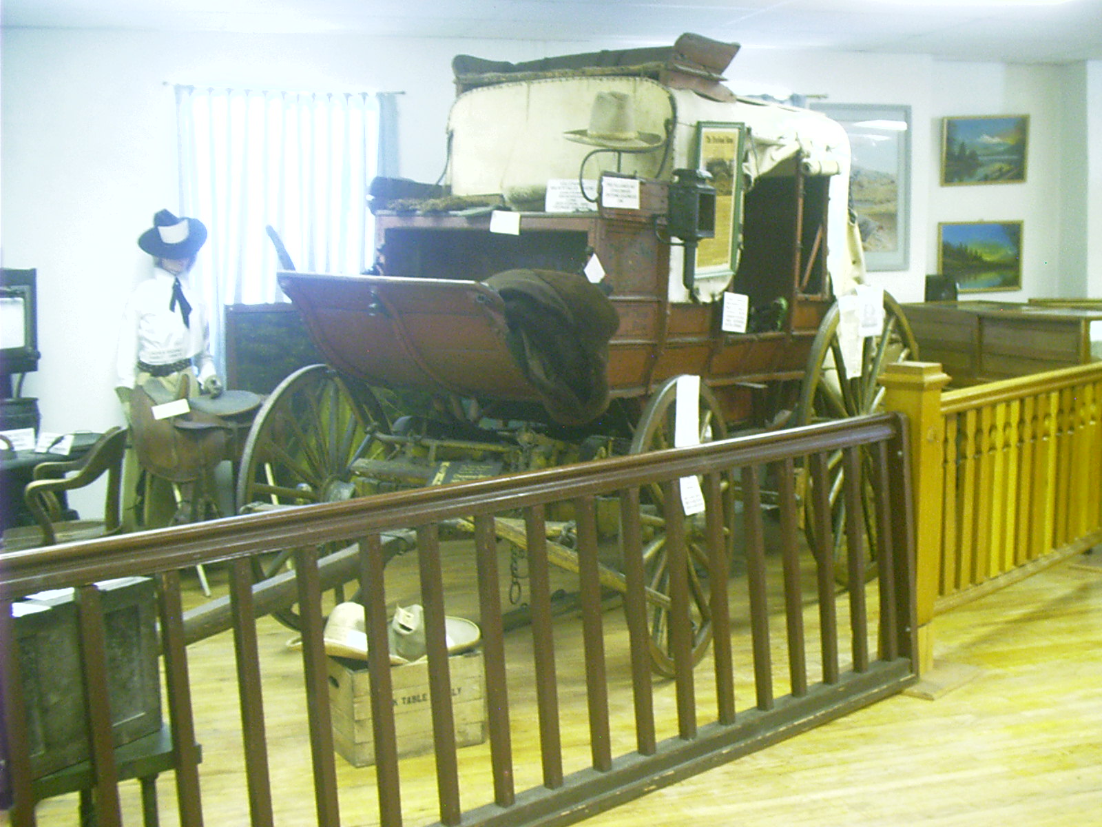
2007-06-25 14.20.08 — 0.4 MB — map
Stagecoach, Museum, Lusk, WY
Topic: TransportationResolution: 1600 x 1200 Landscape
Grade: C
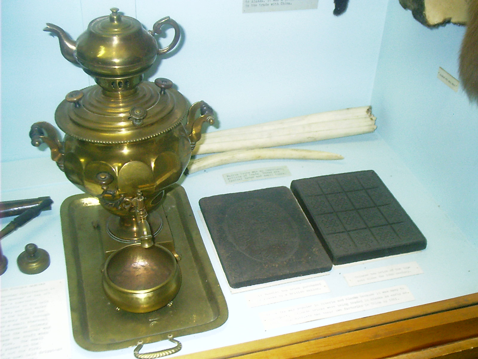
2007-06-26 10.40.54 — 0.4 MB — map
Samovar, MFT, Chadron, NE
Remarks: Displayed with brick tea.Resolution: 1600 x 1200 Landscape
Grade: C
2007-06-26 10.47.58 — 0.2 MB — map
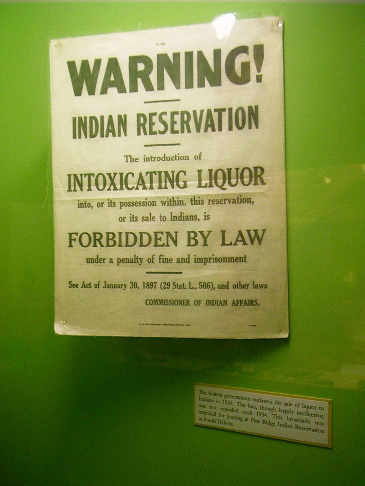
Prohibition Proclamation, MFT, Chadron, NE
Remarks: "The federal government outlawed the sale of liquor to Indians in 1834. The ban, though largely ineffective, was not repealed until 1954. This broadside was intended for posting at Pine Ridge Indian Reservation in South Dakota."• Display note. Museum of the Fur Trade, Chadron, NE. 26 June 2007.
Resolution: 1200 x 1600 Portrait
Grade: C
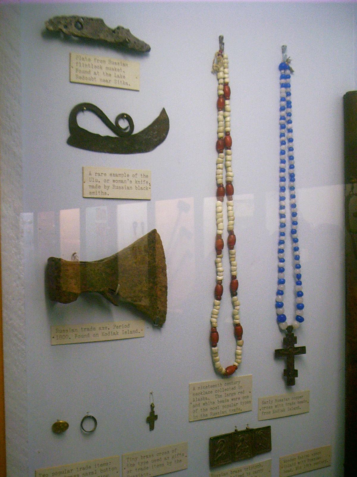
2007-06-26 10.49.06 — 0.2 MB — map
Beads, MFT, Chadron, NE
Topic: The Fur TradeRemarks: "A nineteenth century necklace collected in Alaska. The large red and white beads were one of the most popular types in the Russian trade."
• Display note. Museum of the Fur Trade, Chadron, NE. 26 June 2007.
Resolution: 1200 x 1600 Portrait
Grade: C
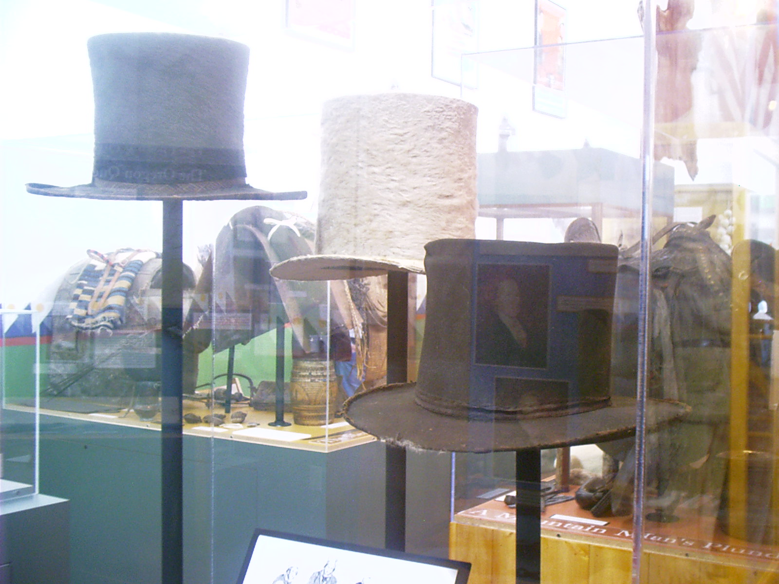
2007-06-26 11.15.40 — 0.3 MB — map
Beaver Hats, MFT, Chadron, NE
Topic: The Fur TradeResolution: 1600 x 1200 Landscape
Grade: C
2007-06-26 11.26.58 — 0.2 MB — map
Shades, MFT, Chadron, NE
Topic: The Fur TradeResolution: 1200 x 1600 Portrait
Grade: C
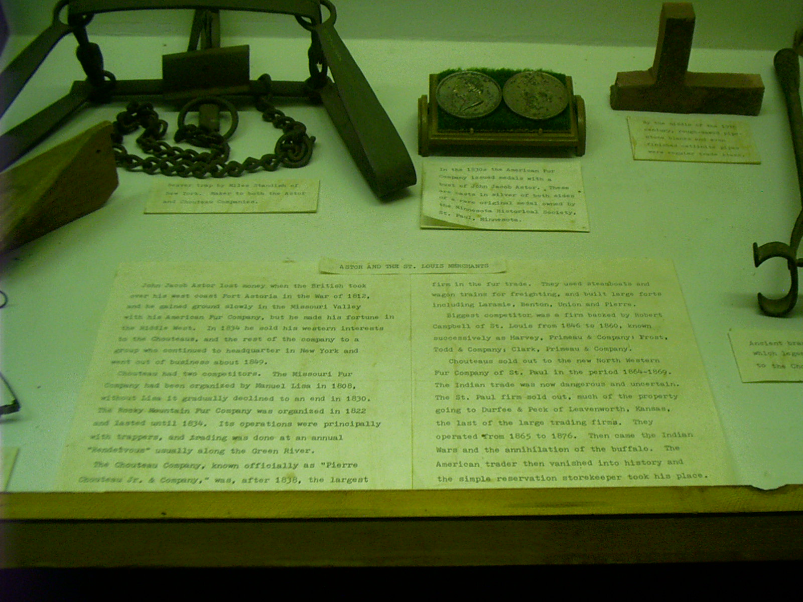
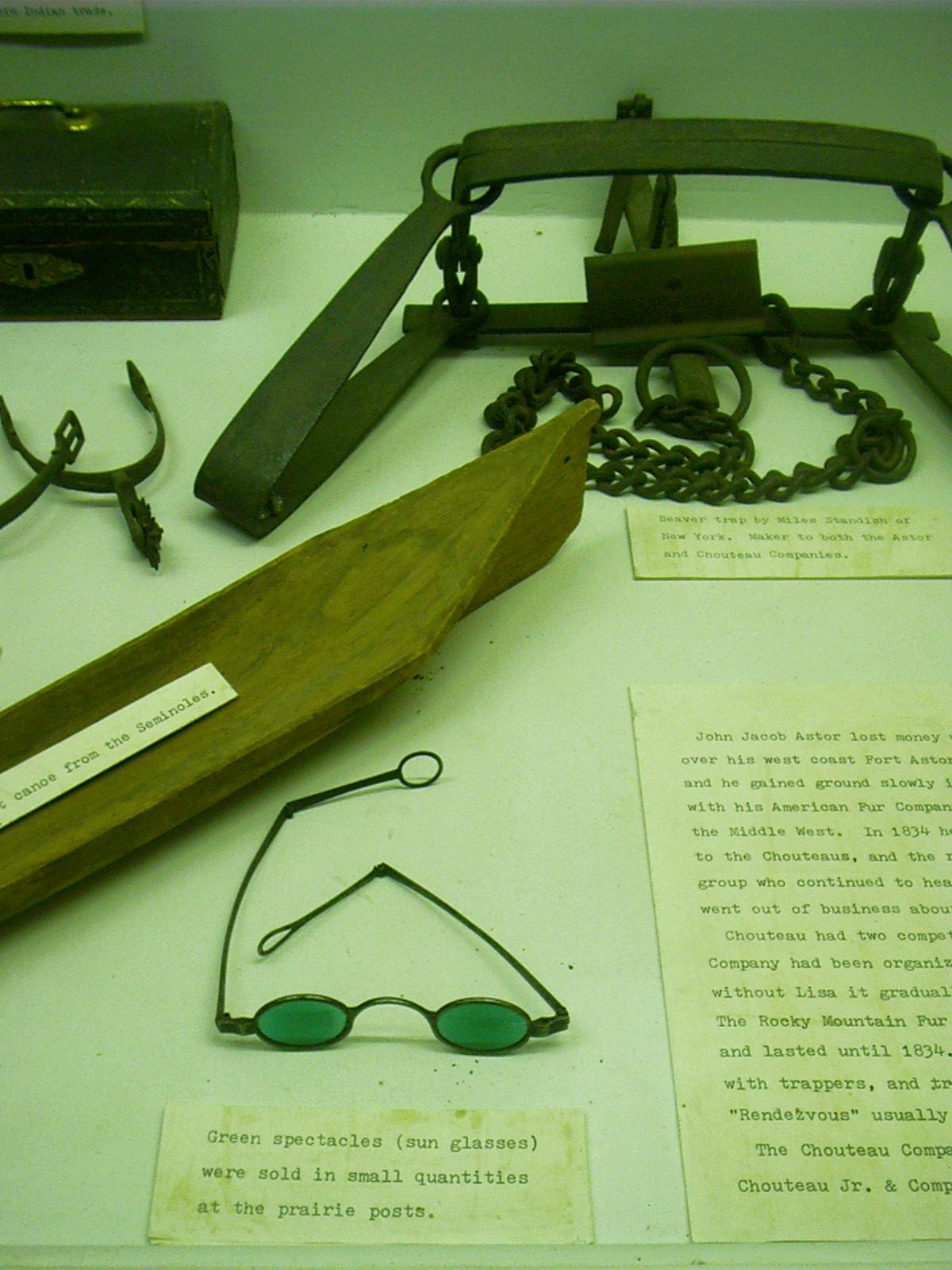
2007-06-26 11.29.02 — 0.4 MB — map
Marker, Fur Companies History, MFT, Chadron, NE
Remarks: "Astor and the St. Louis Merchants"John Jacob Astor lost money when the British took over his west coast Fort Astoria in the War of 1812, and he gained ground slowly in the Missouri Valley with his American Fur Company, but he made his fortune in the [Middle] West. In 1834 he sold his western interests to the Chouteaus, and the rest of the company to a group who continued to headquarter in New York and went out of business about 1849.
"Chouteau had two competitors. The Missouri Fur Company had been organized by Manuel Lisa in 1808, without Lisa it gradually declined to an end in 1830. The Rocky Mountain Fur Company was organized in 1822 and lasted until 1834. Its operations were principally with trappers, and trading was done at an annual "Rendezvous" usually along the Green River.
"The Chouteau Company, known officially as "Pierre Chouteau Jr. & Company," was, after 1838, the largest firm in the fur trade. They used steamboats and wagon trains for freighting, and built large forts including Laramie, Benton, Union and Pierre.
"Biggest competitor was a firm backed by Robert Campbell of St. Louis from 1846 to 1860, known successively as Harvey, Prineau & Company; Frost, Todd & Company; Clark, Prineau & Company.
"Chouteaus sold out to the new North Western Fur Company of St. Paul in the period 1864-69. The Indian trade was now dangerous and uncertain. The St. Paul firm sold out, much of the property going to Durfee & Peck of Leavenworth, Kansas, the last of the large trading firms. They operated from 1865 to 1876. Then came the Indian Wars and the annihilation of the buffalo. The American trader then vanished into history and the simple reservation storekeeper took his place."
• "Astor and the St. Louis Merchants." Display note. Museum of the Fur Trade, Chadron, NE. 26 June 2007.
Resolution: 1600 x 1200 Landscape
Grade: *
2007-06-26 11.32.00 — 0.5 MB — map
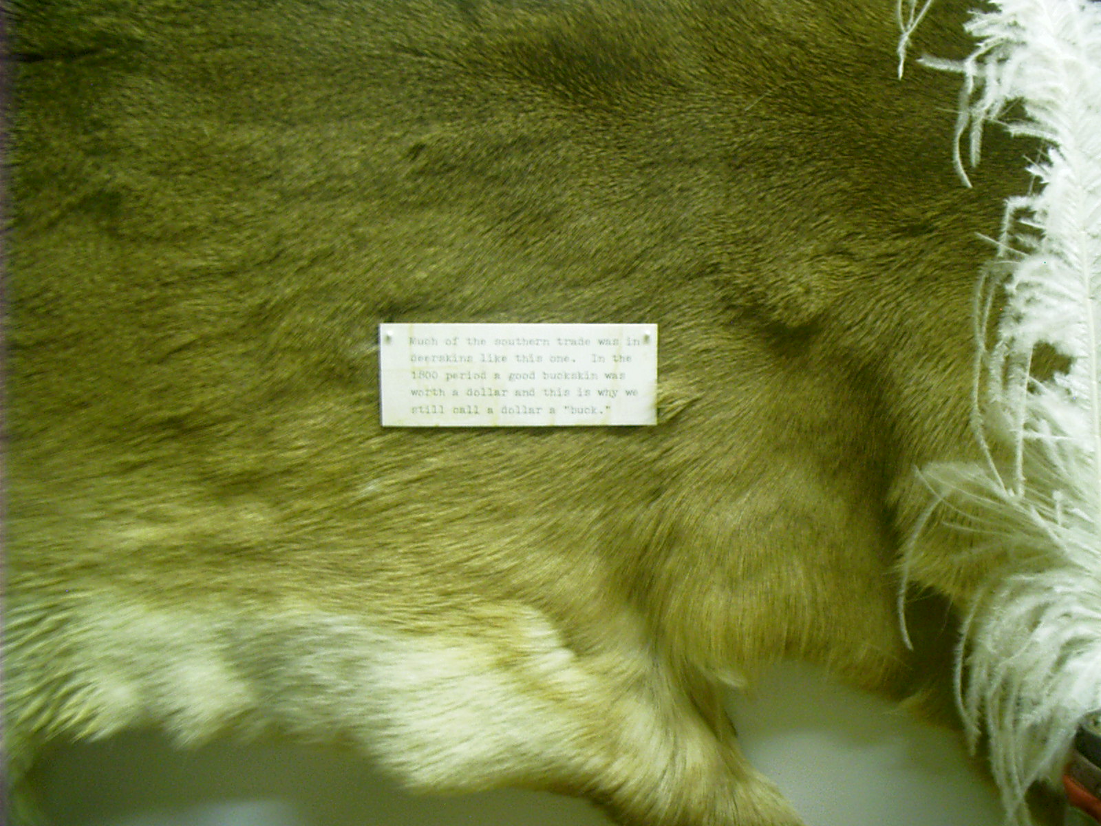
Marker, Buck for a Dollar, MFT, Chadron, NE
Remarks: "Much of the southern trade was in deerskins like this one. In the 1800 period a good buckskin was worth a dollar and this is why we still call a dollar a 'buck.'"• Display note. Museum of the Fur Trade, Chadron, NE. 26 June 2007.
Resolution: 1600 x 1200 Landscape
Grade: *
2007-06-26 11.39.04 — 0.3 MB — map
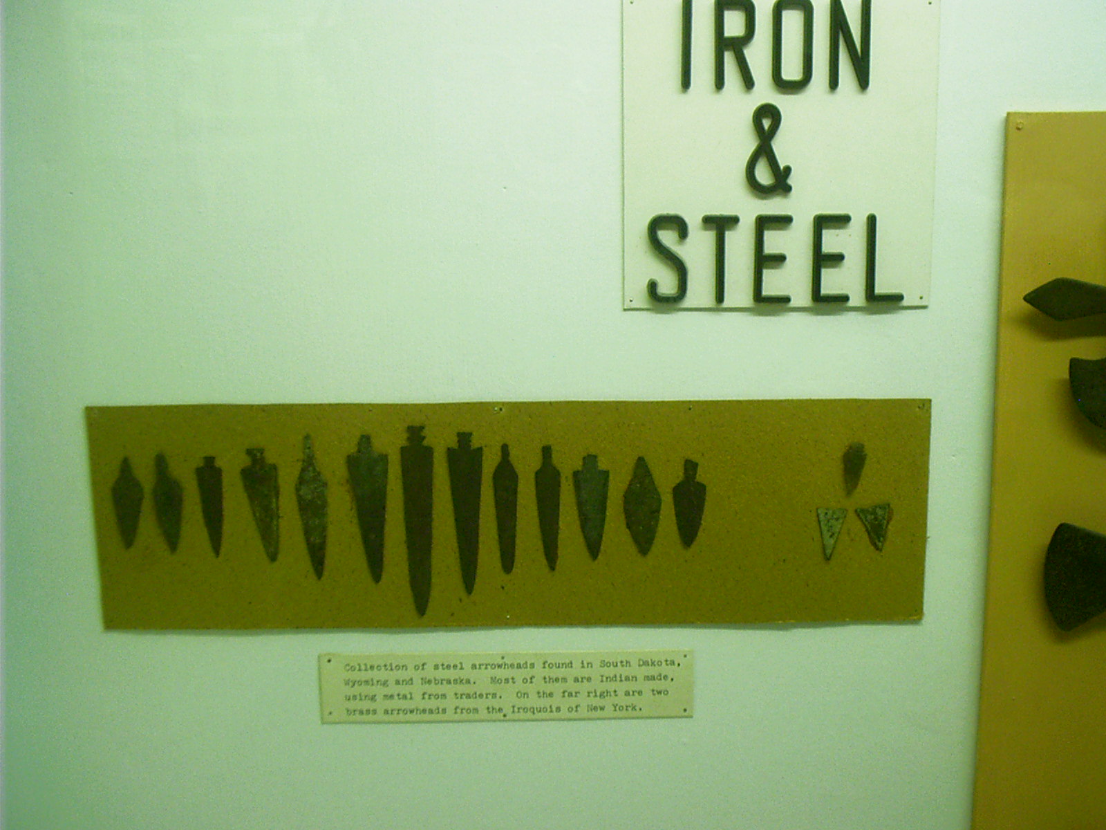
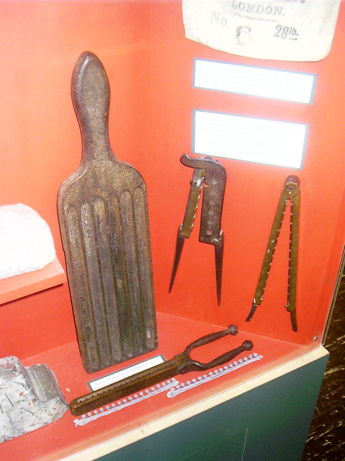
Metal Arrow Heads, MFT, Chadron, NE
Remarks: "Collection of steel arrowheads found in South Dakota, Wyoming and Nebraska. Most of them are Indian made, using metal from traders. On the far right are two brass arrowheads from the Iroquois of New York."• Display note. Museum of the Fur Trade, Chadron, NE. 26 June 2007.
Resolution: 1600 x 1200 Landscape
Grade: D

2007-06-26 11.39.52 — 0.2 MB — map
Fire Steels, MFT, Chadron, NE
Resolution: 1200 x 1600 PortraitGrade: C

2007-06-26 11.50.24 — 0.4 MB — map
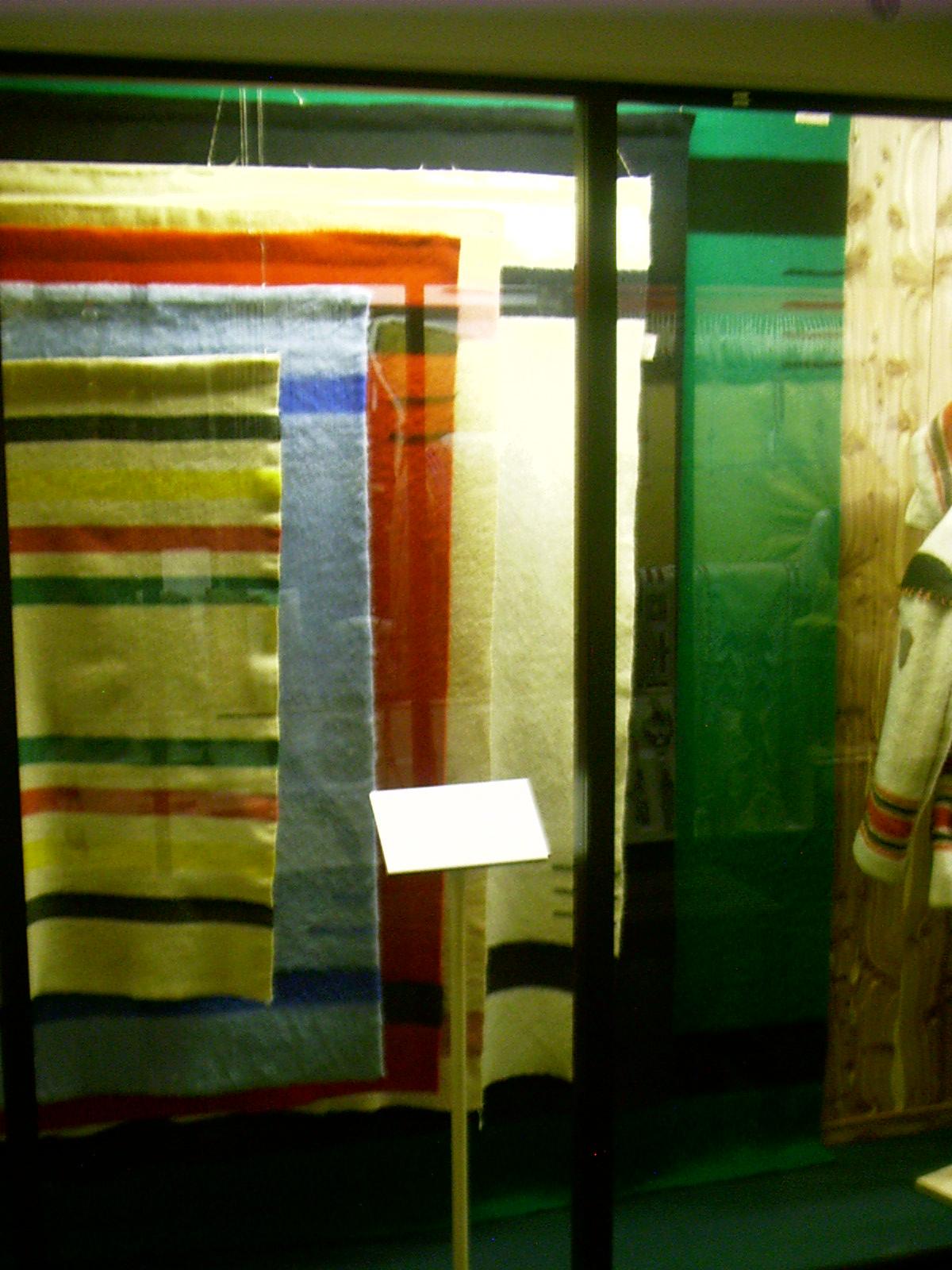
Double Blankets, MFT, Chadron, NE
Topic: The Fur TradeResolution: 1600 x 1200 Landscape
Grade: C
2007-06-26 11.51.16 — 0.3 MB — map
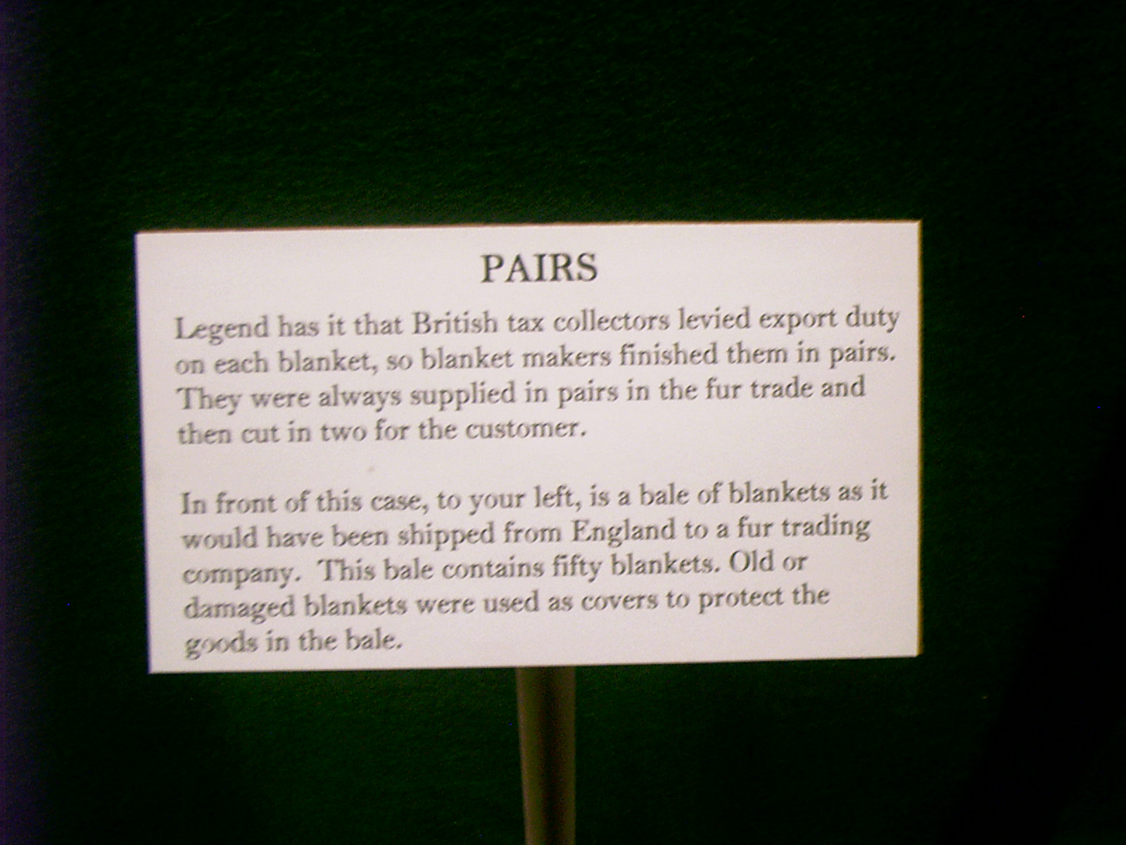
Marker, Double Blankets, MFT, Chadron, NE
Remarks: "Pairs"Legend has it that British tax collectors levied export duty on each blanket, so blanket makers finished them in pairs. They were always supplied in pairs in the fur trade and then cut in two for the customer.
"In front of this case, to your left, is a bale of blankets as it would have been shipped from England to a fur trading company. This bale contains fifty blankets. Old or damaged blankets were used as covers to protect the goods in the bale."
• "Pairs." Display note. Museum of the Fur Trade, Chadron, NE. 26 June 2007.
Resolution: 1600 x 1200 Landscape
Grade: *
2007-06-26 11.51.58 — 0.2 MB — map
Point Blankets, MFT, Chadron, NE
Resolution: 1200 x 1600 PortraitGrade: D
2007-06-26 11.52.36 — 0.4 MB — map
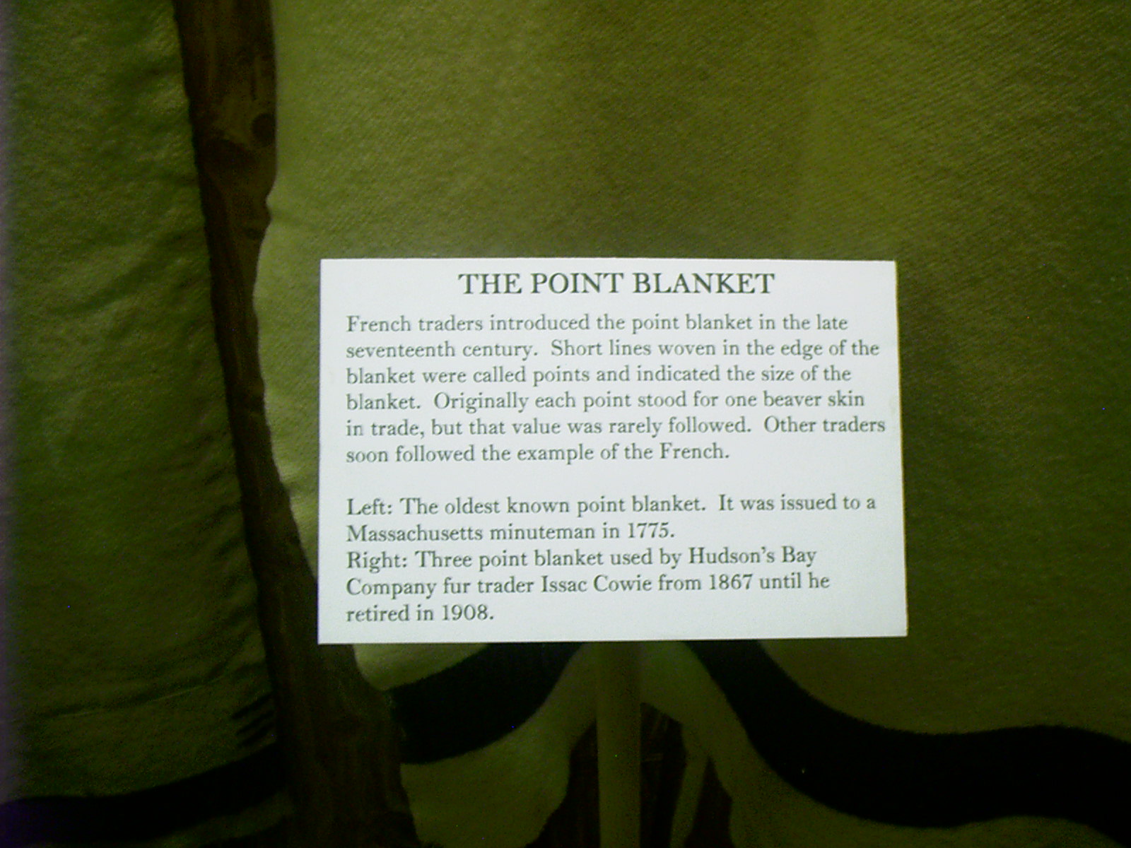
Marker, Point Blankets, MFT, Chadron, NE
Remarks: "The Point Blanket"French traders introduced the point blanket in the late seventeenth century. Short lines woven in the edge of the blanket were called points and indicated the size of the blanket. Originally each point stood for one beaver skin in trade, but that value was rarely followed. Other traders soon followed the example of the French.
"Left: The oldest known point blanket. It was issued to a Massachusetts minuteman in 1775.
"Right: Three point blanket used by Hudson's Bay Company fur trader Issac [sic] Cowie from 1867 until he retired in 1908."
• "The Point Blanket." Display note. Museum of the Fur Trade, Chadron, NE. 26 June 2007.
Resolution: 1600 x 1200 Landscape
Grade: *
2007-06-26 11.53.10 — 0.4 MB — map
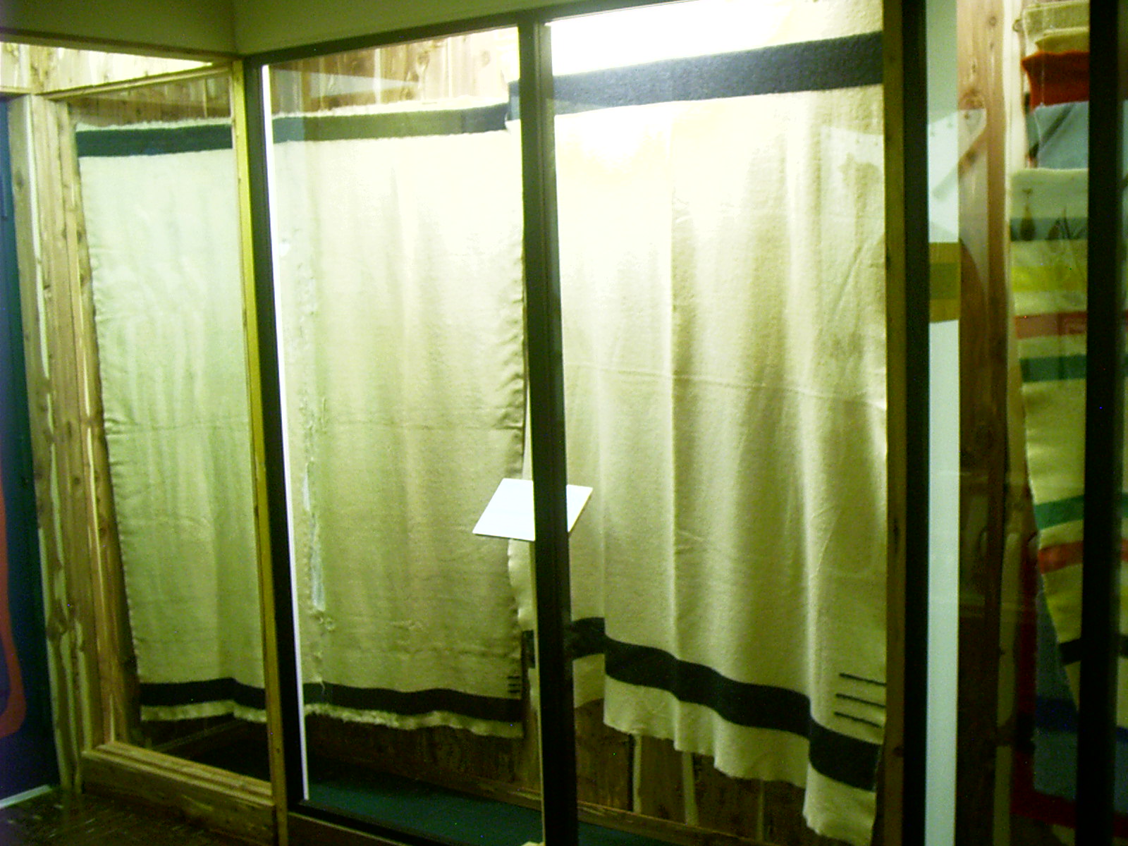
Oldest Point Blanket, MFT, Chadron, NE
Resolution: 1600 x 1200 LandscapeGrade: D
2007-06-26 11.55.22 — 0.2 MB — map
Bullet Molds, MFT, Chadron, NE
Topic: The Fur TradeResolution: 1200 x 1600 Portrait
Grade: C
2007-06-26 12.08.28 — 0.6 MB — map
Dugout, MFT, Chadron, NE
Topic: The Fur TradeResolution: 1600 x 1200 Landscape
Grade: C
2007-06-26 12.16.36 — 0.2 MB — map
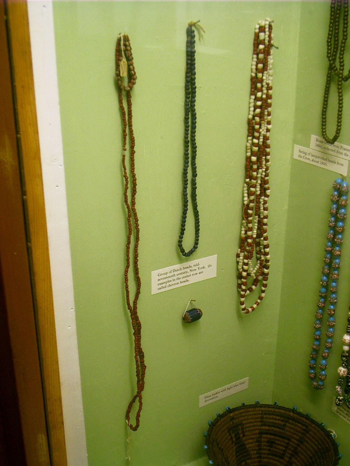
Beads, MFT, Chadron, NE
Remarks: "Group of Dutch beads, mid-seventeenth century, New York, the examples in the center row are called chevron beads."• Display note. Museum of the Fur Trade, Chadron, NE. 26 June 2007.
Resolution: 1200 x 1600 Portrait
Grade: C

2007-06-26 12.16.56 — 0.2 MB — map
Beads, MFT, Chadron, NE
Topic: The Fur TradeResolution: 1200 x 1600 Portrait
Grade: B
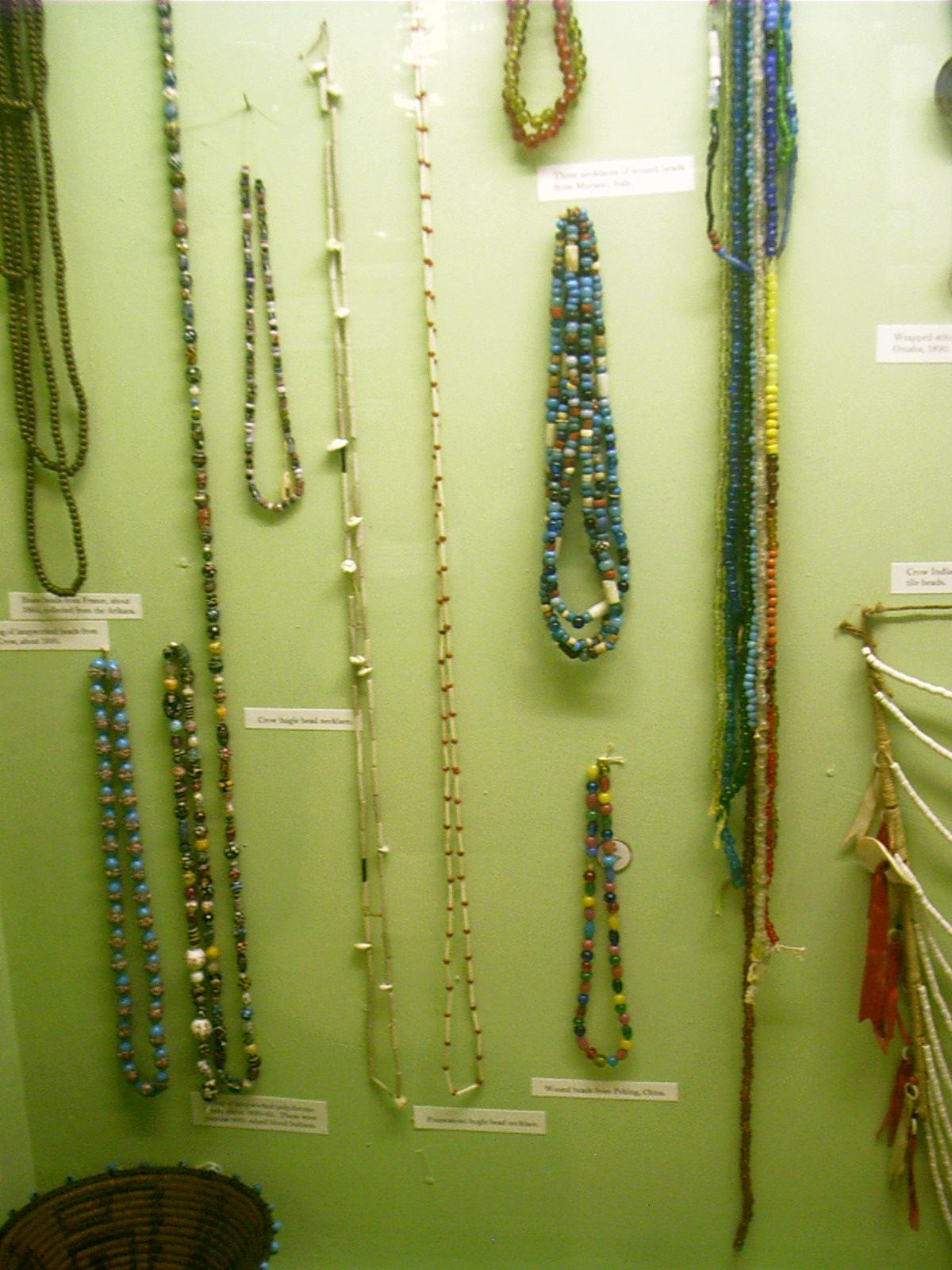
2007-06-26 12.17.30 — 0.2 MB — map
Beads, MFT, Chadron, NE
Resolution: 1200 x 1600 PortraitGrade: D

2007-06-26 12.18.36 — 0.2 MB — map
Crow Breastplate, MFT, Chadron, NE
Resolution: 1200 x 1600 PortraitGrade: C
2007-06-26 12.23.34 — 0.5 MB — map
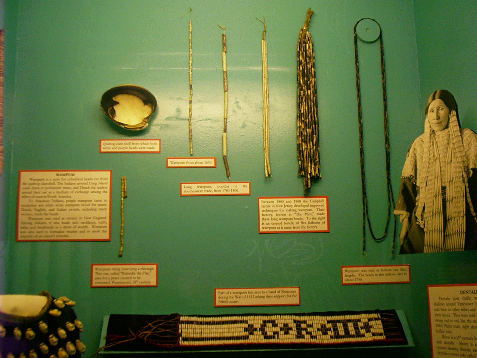
Wampum, MFT, Chadron, NE
Topic: The Fur TradeRemarks: "Wampum is a term for cylindrical beads cut from the quahog clamshell. The Indians around Long Island made them in prehistoric times, and Dutch fur traders adopted their use as a medium of exchange among the tribes of eastern North America.
"To American Indians, purple wampum came to symbolize war while white wampum stood for peace. Dutch, English, and Indian people, including many women, made the beads.
"Wampum was used as money in New England. Among Indians, it was made into necklaces, cuffs, belts, and headbands as a show of wealth. Wampum was also used to formalize treaties and to show the sincerity of an orator's remarks."
"Between 1800 and 1880 the Campbell family in New Jersey developed improved techniques for making wampum. Their factory, known as 'The Mint,' made these long wampum beads. To the right is an unused bundle of five fathoms of wampum as it came from the factory."
"Part of a wampum belt sent to a band of Shawnees during the War of 1812 asking their support for the British cause."
• Display note. Museum of the Fur Trade, Chadron, NE. 26 June 2007.
Resolution: 1600 x 1200 Landscape
Grade: C
2007-06-26 12.25.50 — 0.2 MB — map
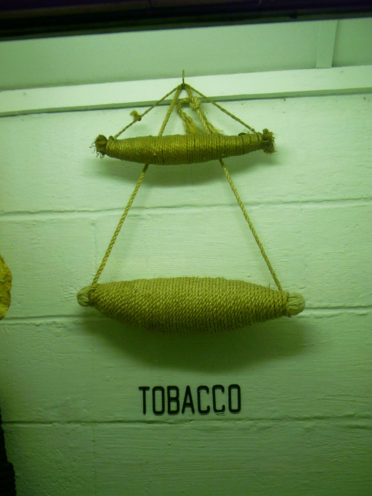
Tobacco, MFT, Chadron, NE
Topic: The Fur TradeResolution: 1200 x 1600 Portrait
Grade: C
2007-06-26 12.25.58 — 0.2 MB — map
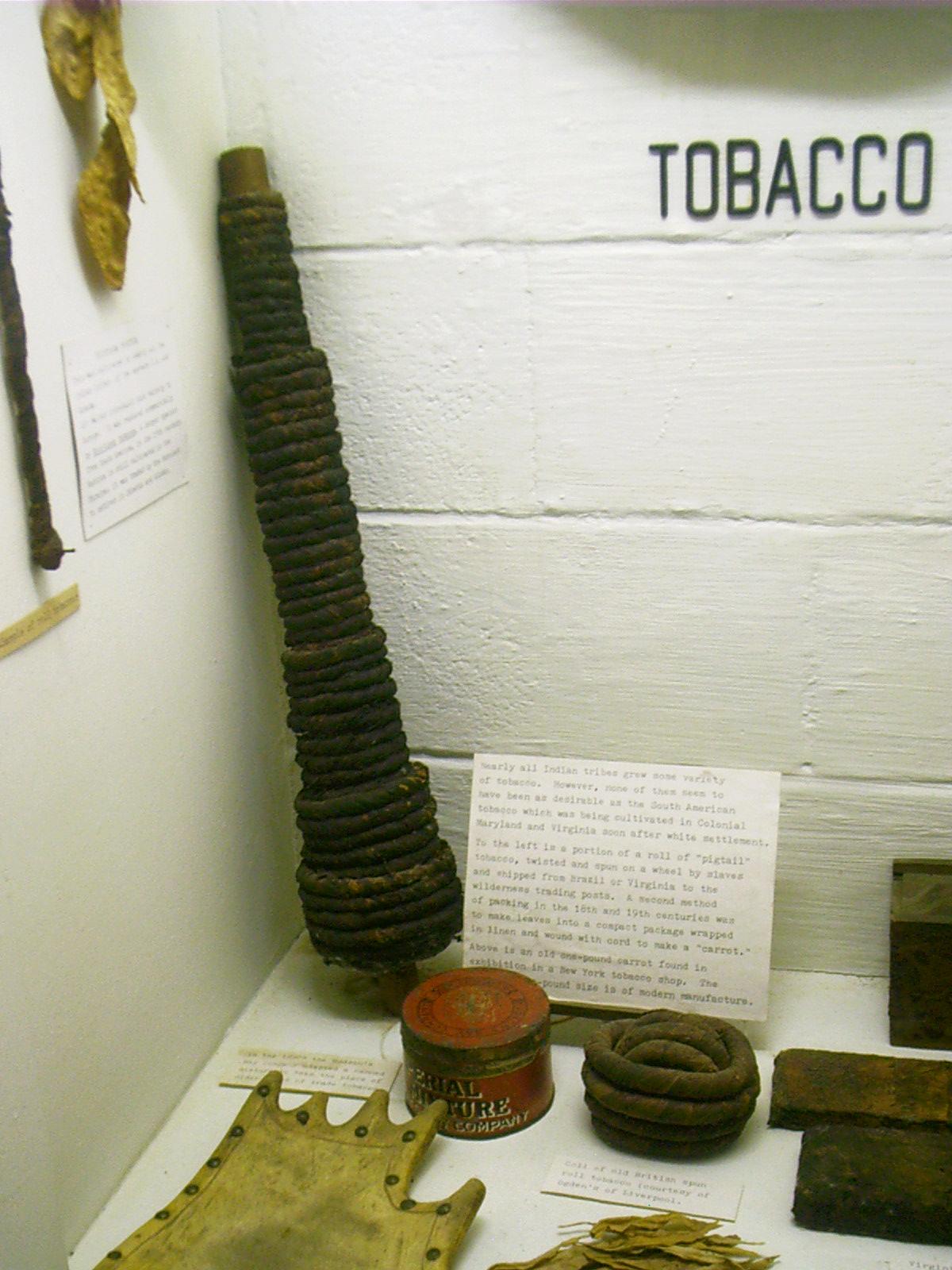
Tobacco Twists, MFT, Chadron, NE
Topic: The Fur TradeRemarks: "Nearly all Indian tribes grew some variety of tobacco. However, none of them seem to have been as desirable as the South American tobacco which was being cultivated in Colonial Maryland and Virginia soon after white settlement.
"To the left is a portion of a roll of 'pigtail' tobacco, twisted and spun on a wheel by slaves and shipped from Brazil or Virginia to the wilderness trading posts. A second method of packing in the 18th and 19th centuries was to make leaves into a compact package wrapped in linen and wound with cord to make a 'carrot.'
"Above is an old one-pound carrot found in exhibition in a New York tobacco shop. The […] pound size is of modern manufacture."
• Display note. Museum of the Fur Trade, Chadron, NE. 26 June 2007.
Resolution: 1200 x 1600 Portrait
Grade: C

2007-06-26 12.26.52 — 0.4 MB — map
Tobacco Plugs, MFT, Chadron, NE
Topic: The Fur TradeResolution: 1600 x 1200 Landscape
Grade: C
2007-06-26 12.27.02 — 0.2 MB — map
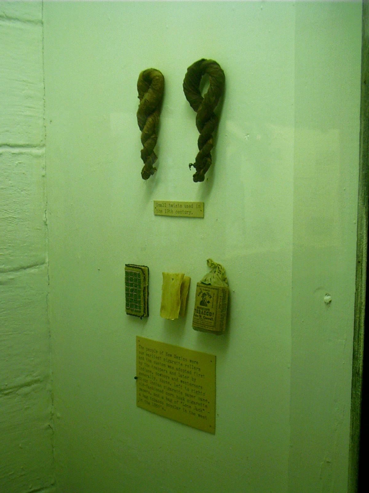
Tobacco Twists and Cigarette Papers, MFT, Chadron, NE
Resolution: 1200 x 1600 PortraitGrade: D
2007-06-26 12.35.54 — 0.4 MB — map
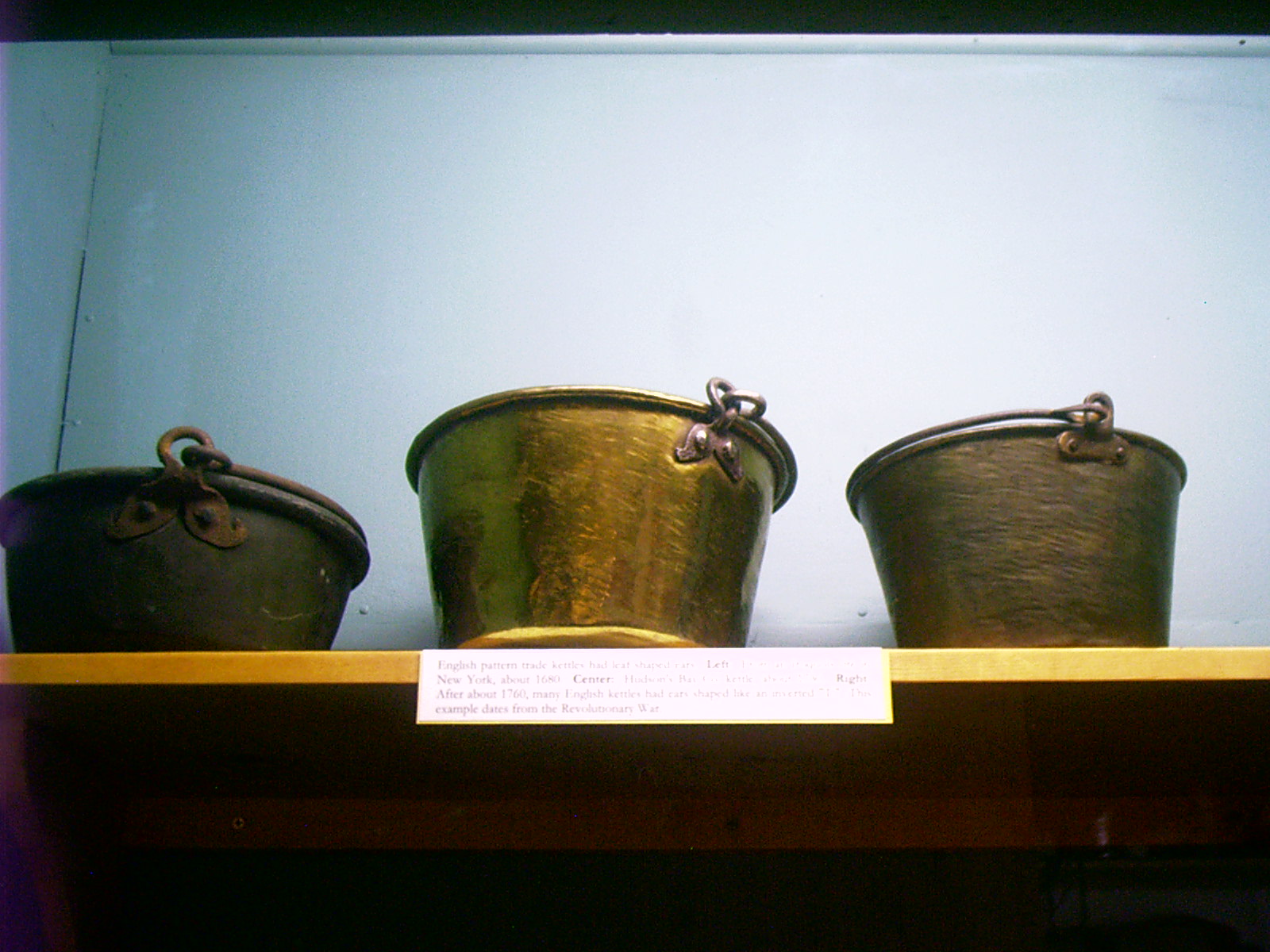
Brass Pots, MFT, Chadron, NE
Resolution: 1600 x 1200 LandscapeGrade: C
2007-06-26 12.45.04 — 0.3 MB — map
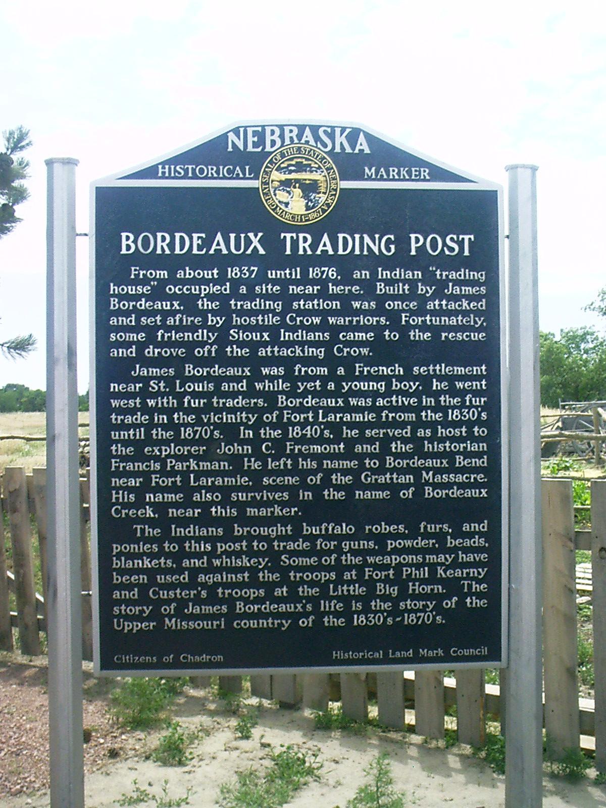
Marker, MFT, Chadron, NE
Remarks: "Bordeaux Trading Post"From about 1837 until 1876, an Indian 'trading house' occupied a site near here. Built by James Bordeaux, the trading station was once attacked and set afire by hostile Crow warriors. Fortunately, some friendly Sioux Indians came to the rescue and drove off the attacking Crow.
"James Bordeaux was from a French settlement near St. Louis and while yet a young boy, he went west with fur traders. Bordeaux was active in the fur trade in the vicinity of Fort Laramie from the 1830's until the 1870's. In the 1840's, he served as host to the explorer John C. Fremont and the historian Francis Parkman. He left his name to Bordeaux Bend near Fort Laramie, scene of the Grattan Massacre. His name also survives in the name of Bordeaux Creek, near this marker.
"The Indians brought buffalo robes, furs, and ponies to this post to trade for guns, powder, beads, blankets, and whiskey. Some of the weapons may have been used against the troops at Fort Phil Kearny and Custer's troops at the Little Big Horn. The story of James Bordeaux's life is the story of the Upper Missouri country of the 1830's-1870's.
"Citizens of Chadron, Historical Land Mark Council"
• "Bordeaux Trading Post." Roadside Marker. 26 June 2007. Museum of the Fur Trade, Chadron, NE.
Resolution: 1200 x 1600 Portrait
Grade: *
2007-06-26 12.46.08 — 0.4 MB — map
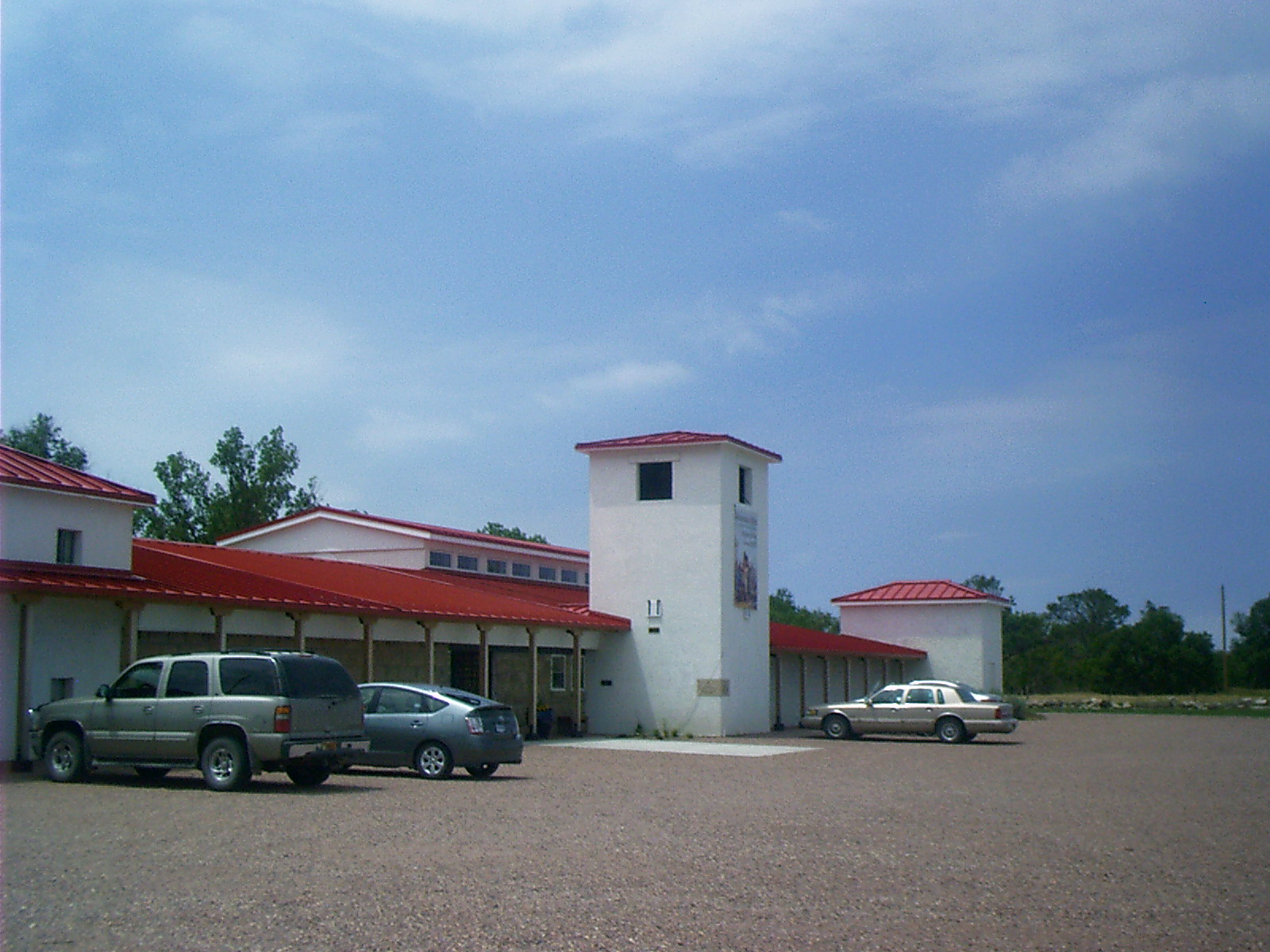
MFT, Chadron, NE
Topic: The Fur TradeResolution: 1600 x 1200 Landscape
Grade: C
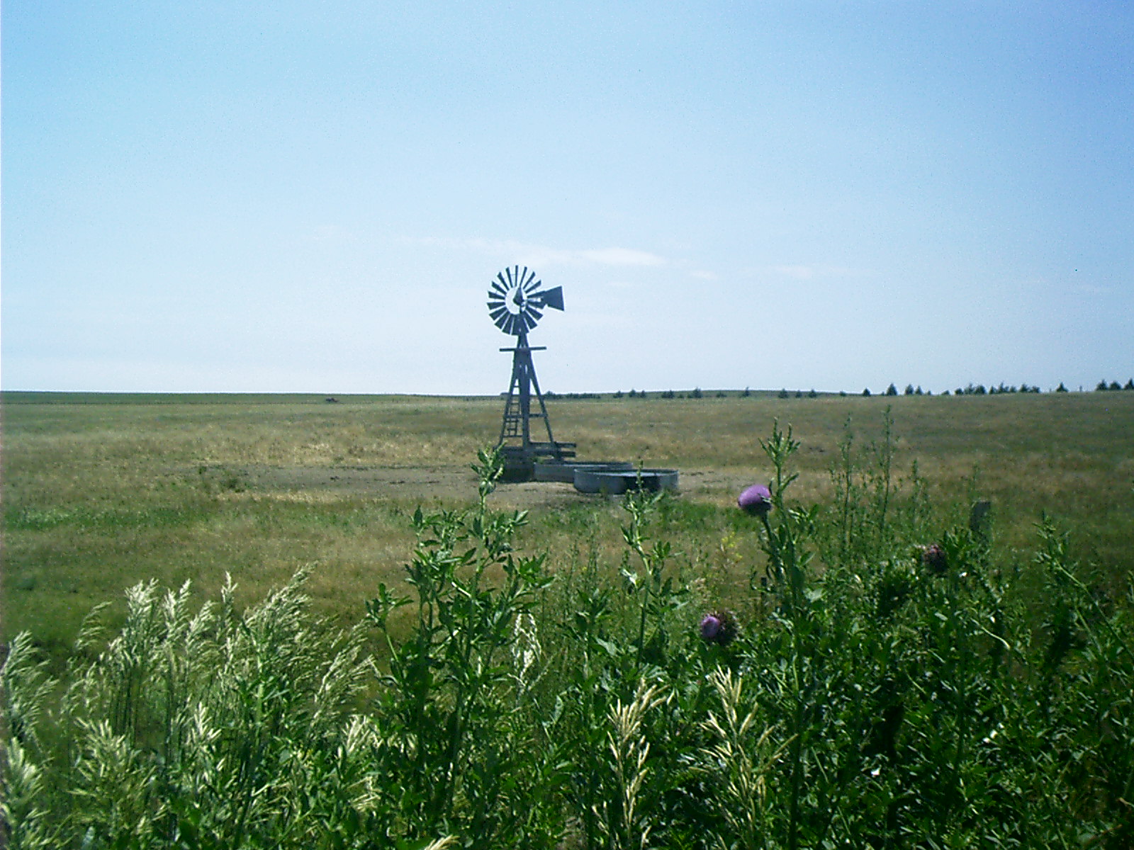
2007-06-26 13.44.08 — 0.5 MB
Windmill, US 20, NE
Topic: Seeing the ElephantResolution: 1600 x 1200 Landscape
Grade: B
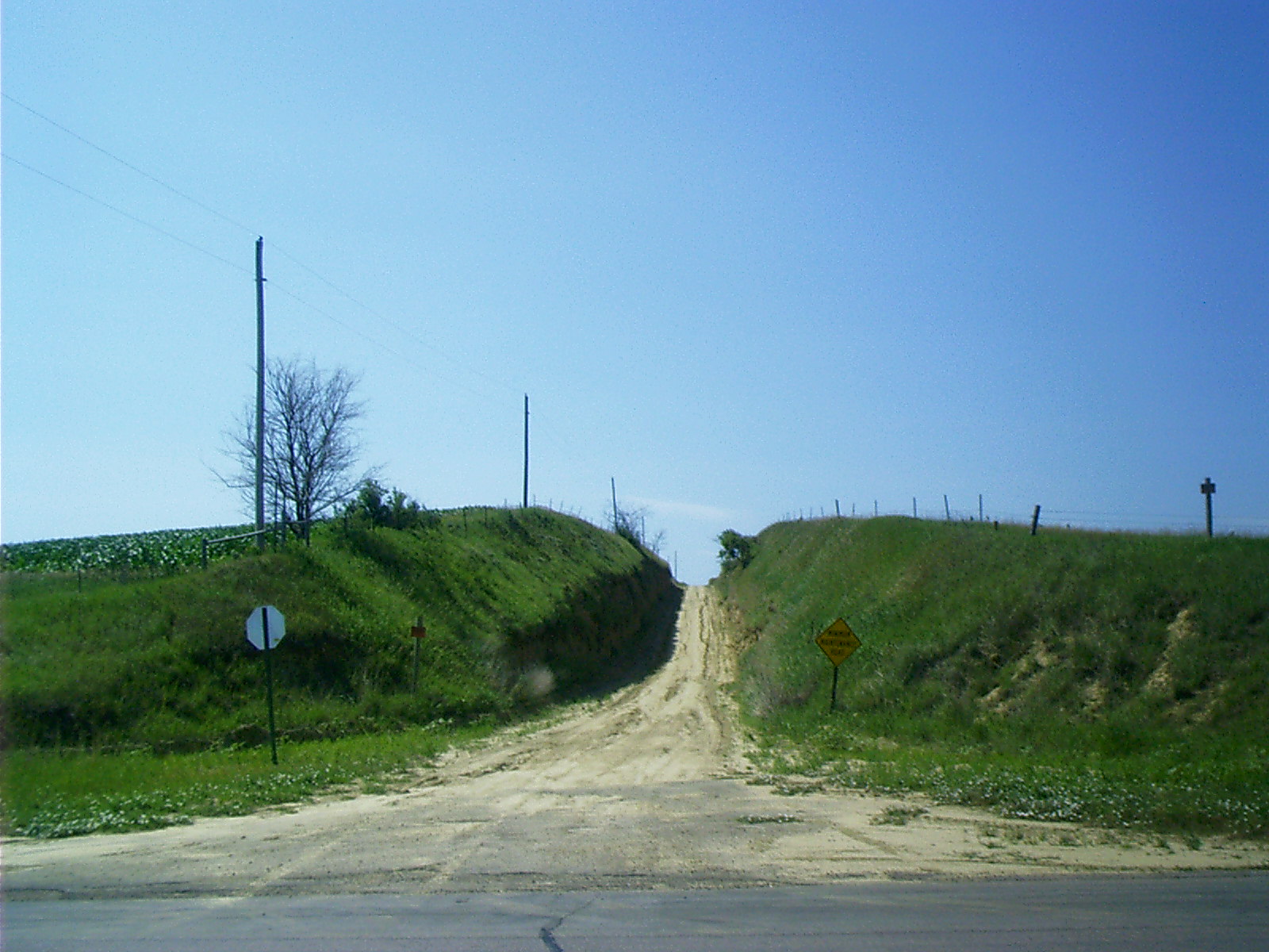
2007-06-27 10.10.08 — 0.4 MB
Minimal Maintenance Road, US 20, NE
Resolution: 1600 x 1200 LandscapeGrade: B
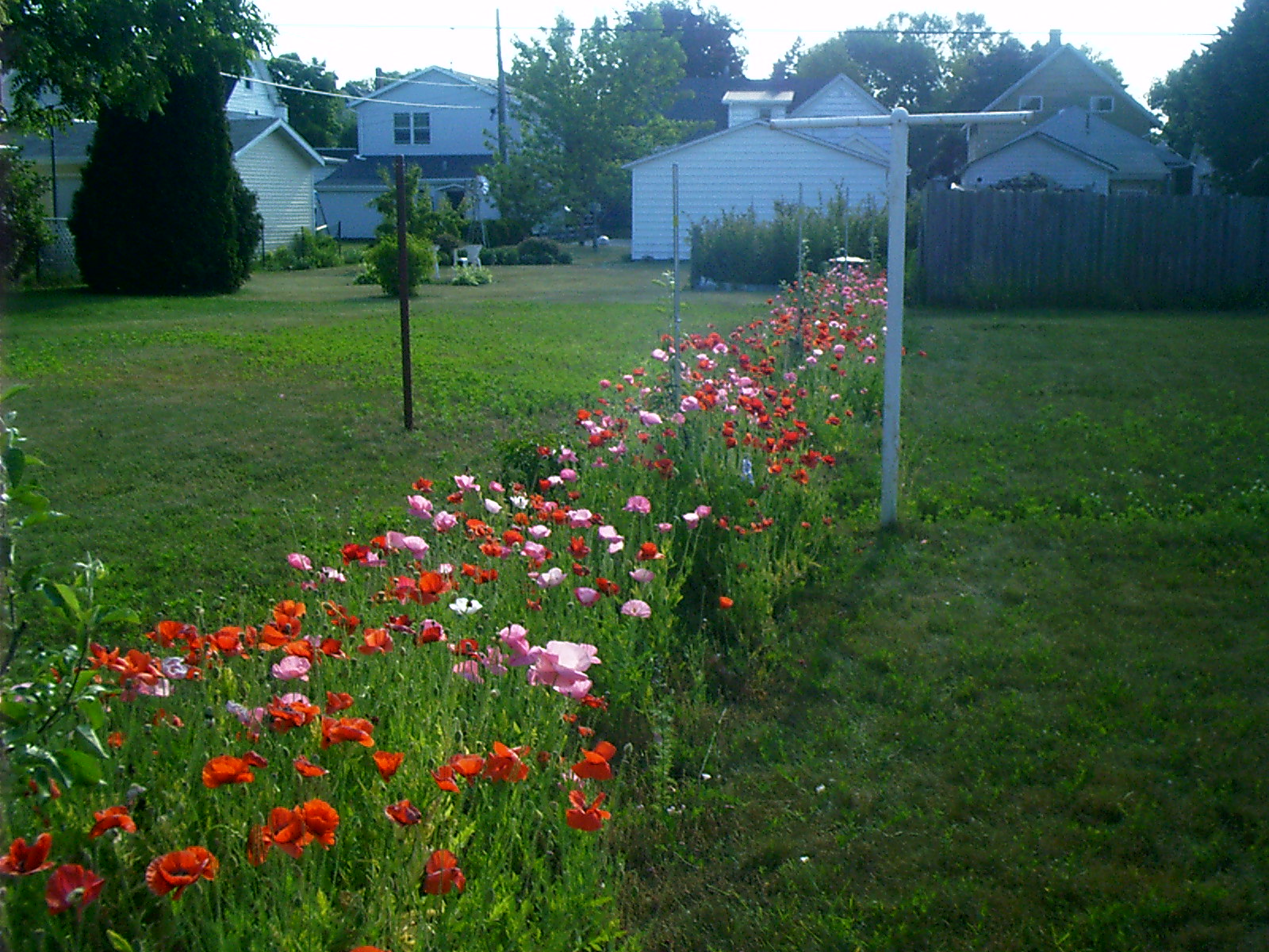
2007-06-30 15.38.44 — 0.6 MB — map
Orchard with Poppies, 1518 N 3rd, Sheboygan, WI
Resolution: 1600 x 1200 LandscapeGrade: B