2007-06-15 12.07.00 — 0.4 MB — map
|
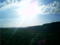
We tend now to hold our ancestors in awe, considering that which has been wrought in the places where they lived and ascribing it all to them, but they were ordinary people in their day, and what we see now is the work of generations. Still we ought to remember those times of unique opportunity and acknowledge our forefathers' gift for taking the main chance — for winnowing the possible from the preponderance of improbability.
|
2007-06-16 14.23.40 — 0.2 MB — map
|
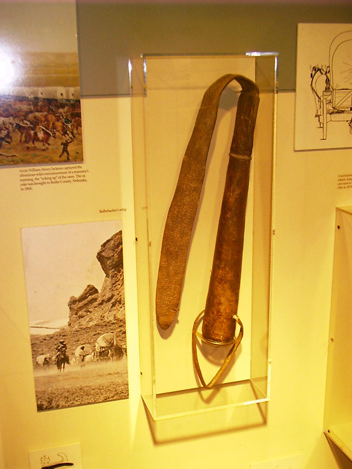
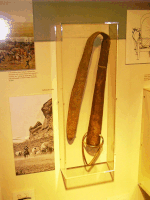
There are, collected here and there, the ordinary things people brought with them for the journey on the Great Plains. Most are implements such as this flail used to drive the oxen that pulled their wagons.
|
2007-06-16 14.27.14 — 0.2 MB — map
|
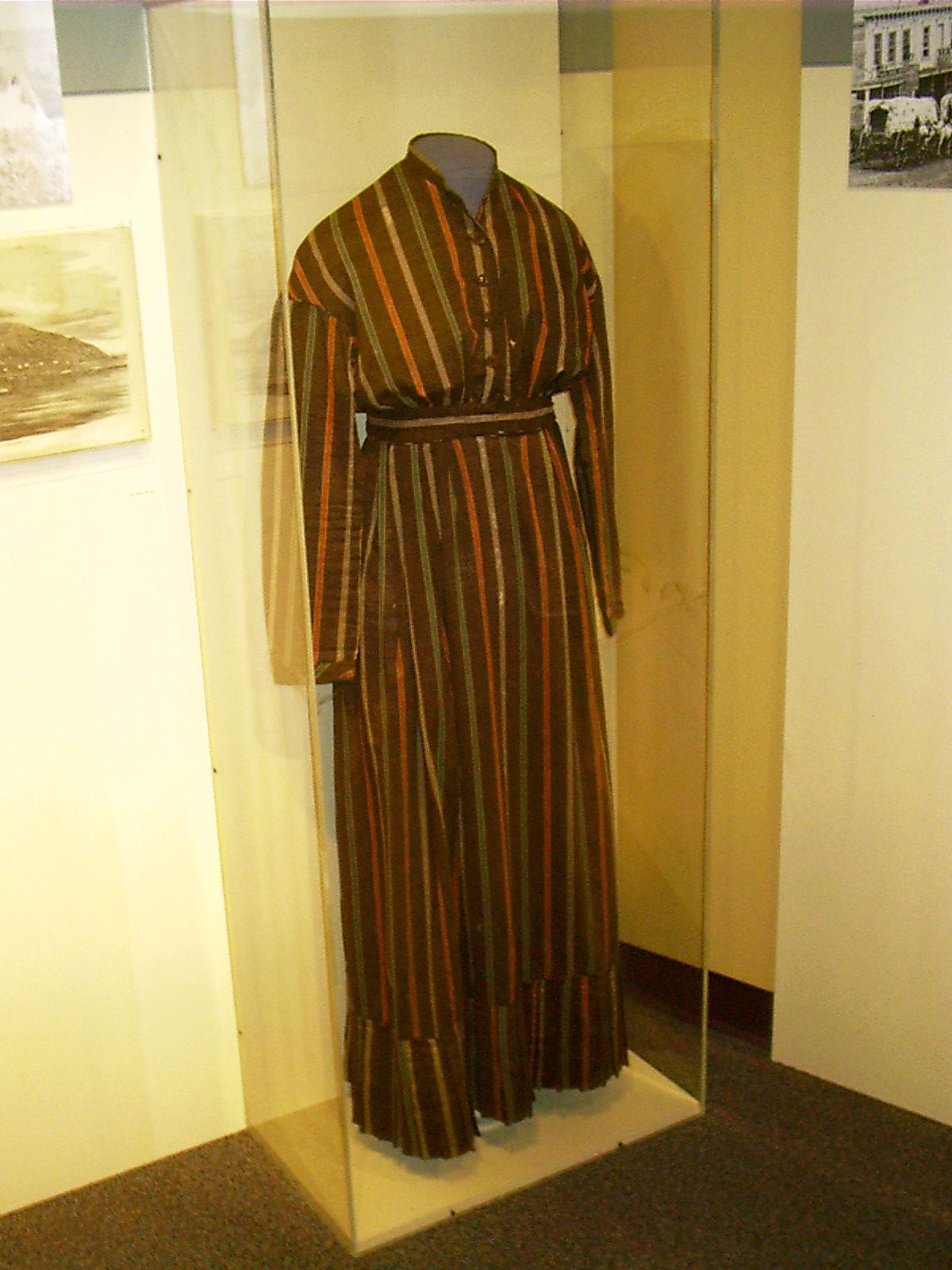
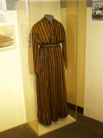
Other articles are more ephemeral. Not many garments of the period have survived.
These are the things that people kept, but the things they didn't keep — the things that were too big, too ordinary, or too organic — are littered all about as well.
|
2007-06-18 11.07.26 — 0.8 MB — map
|
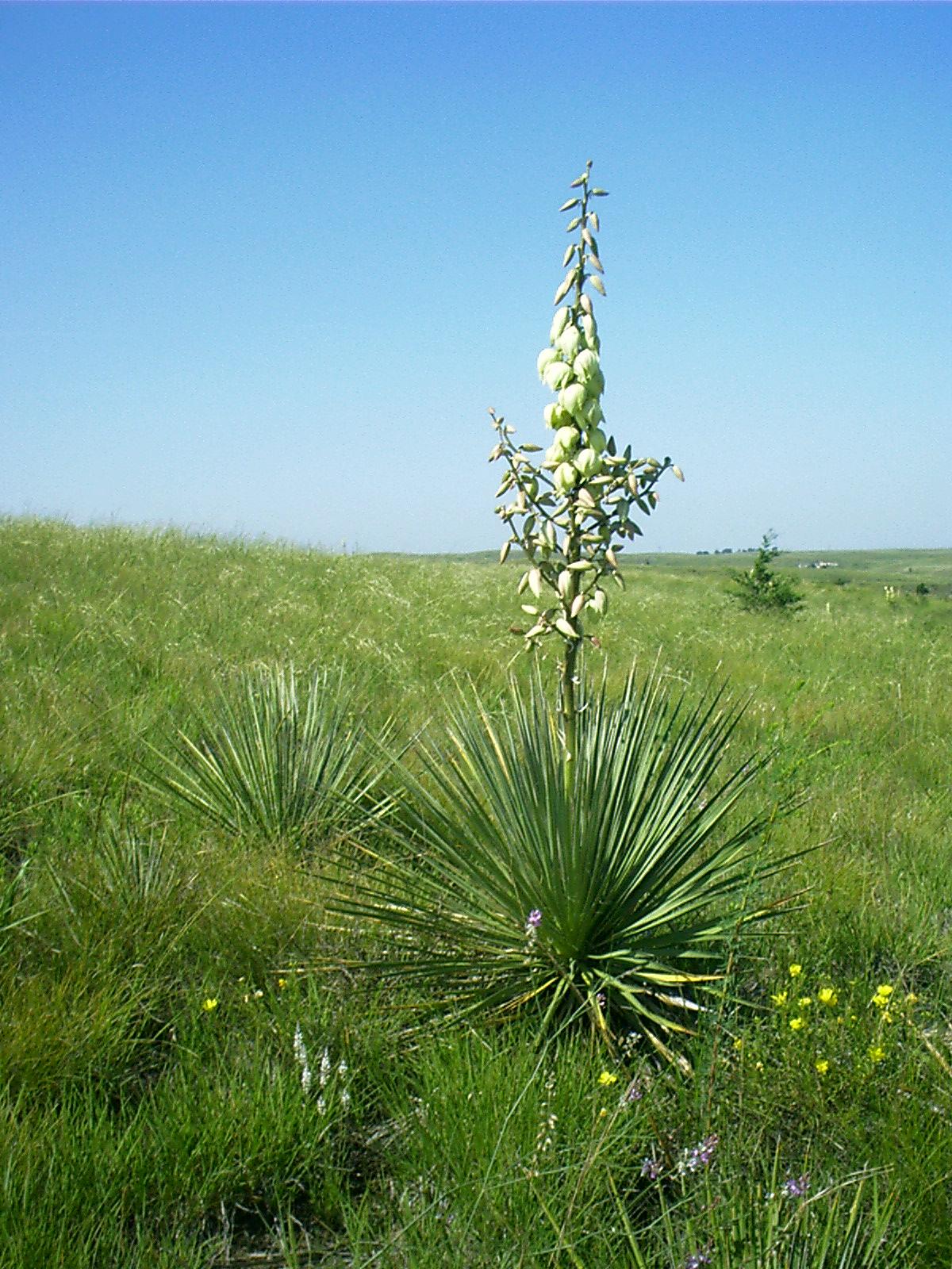
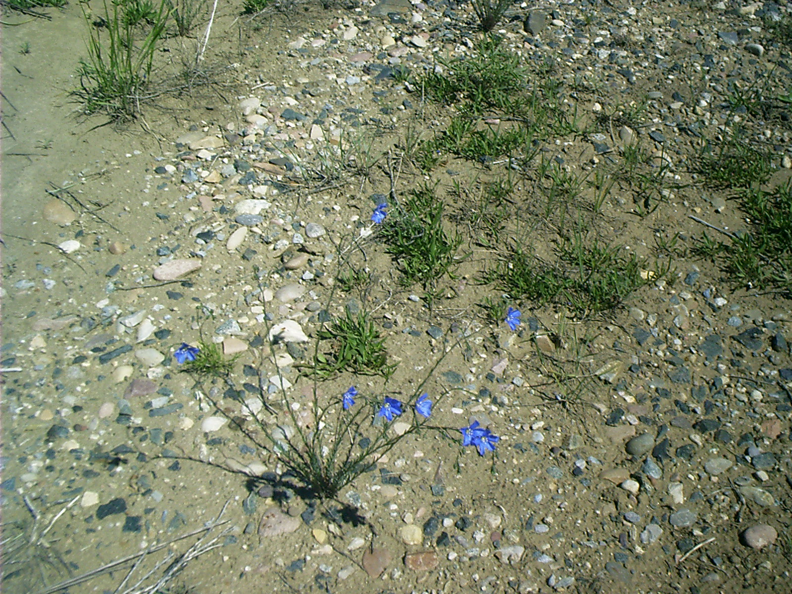
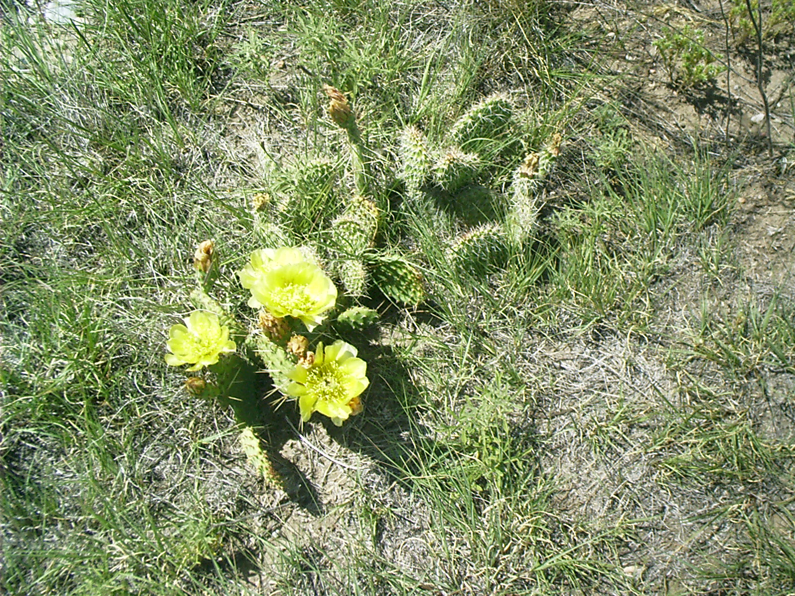
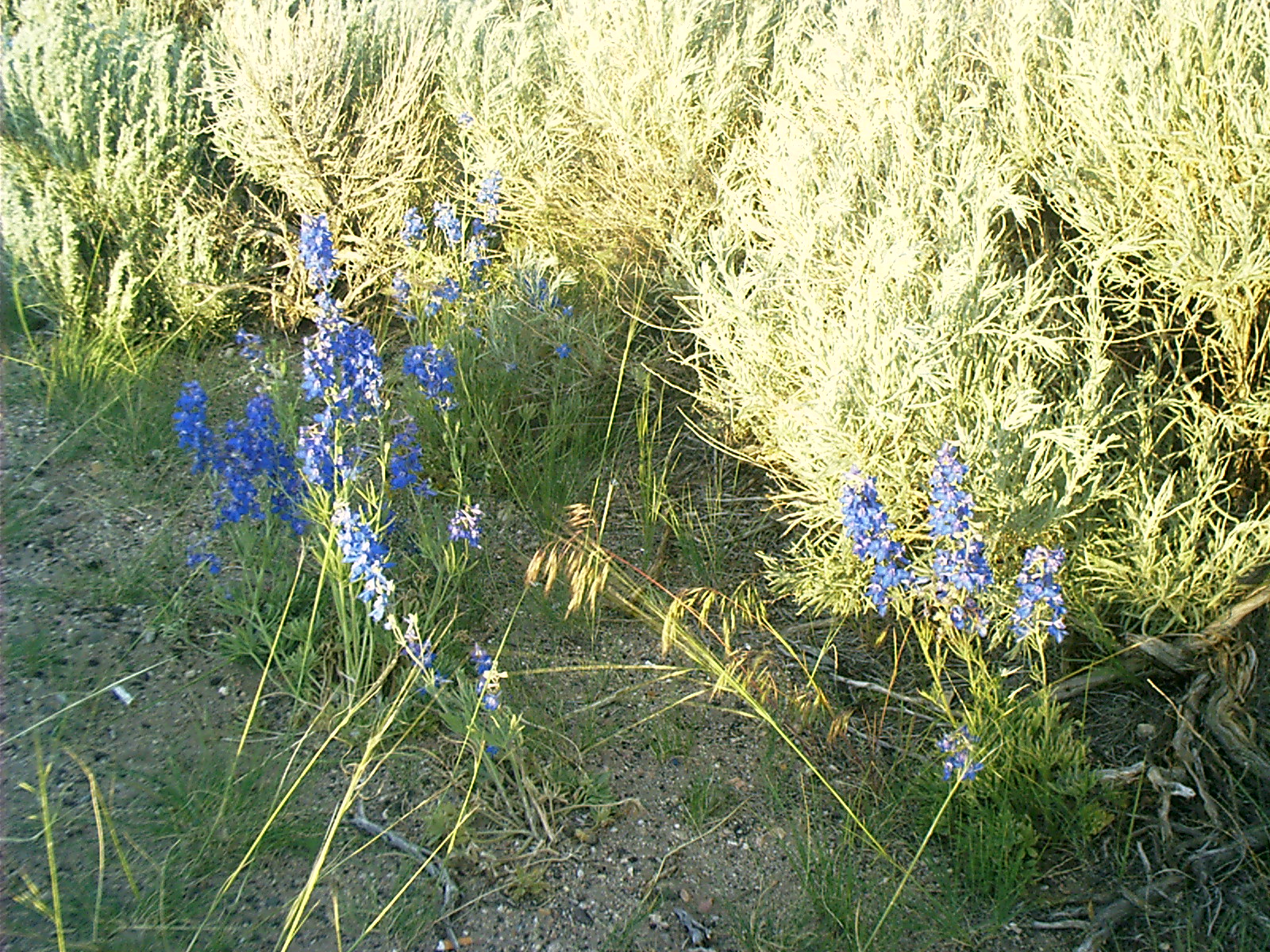
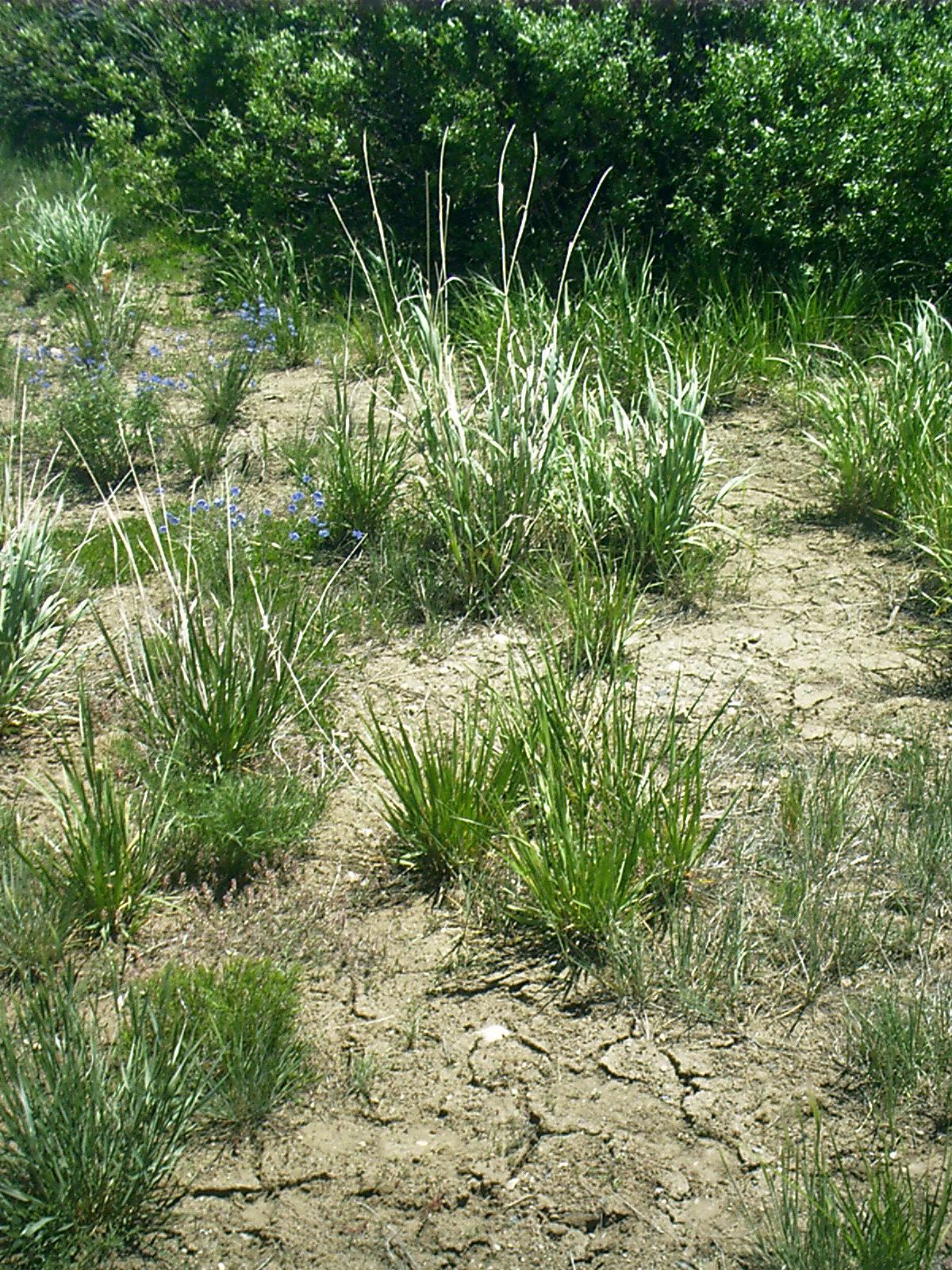
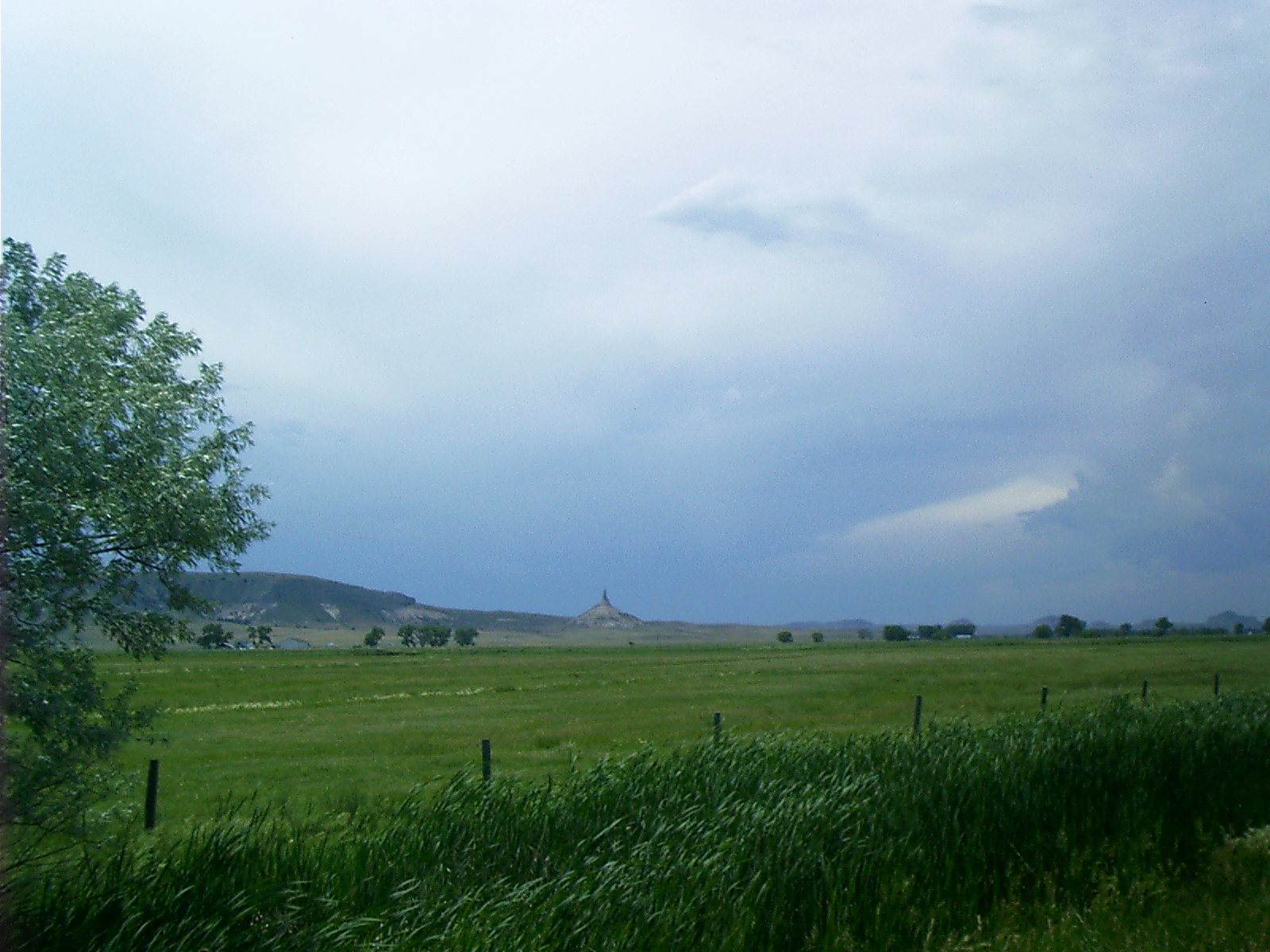
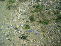
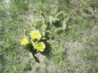
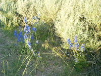
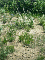
The plants, for instance, that used to grow in wild profusion horizon to horizon are still here. Exotic crops and invasive species have not displaced them all.
|
2007-06-17 11.13.22 — 1.0 MB — map
|
|
2007-06-17 20.23.52 — 0.9 MB — map
|
|
2007-06-18 12.19.14 — 0.6 MB — map
|
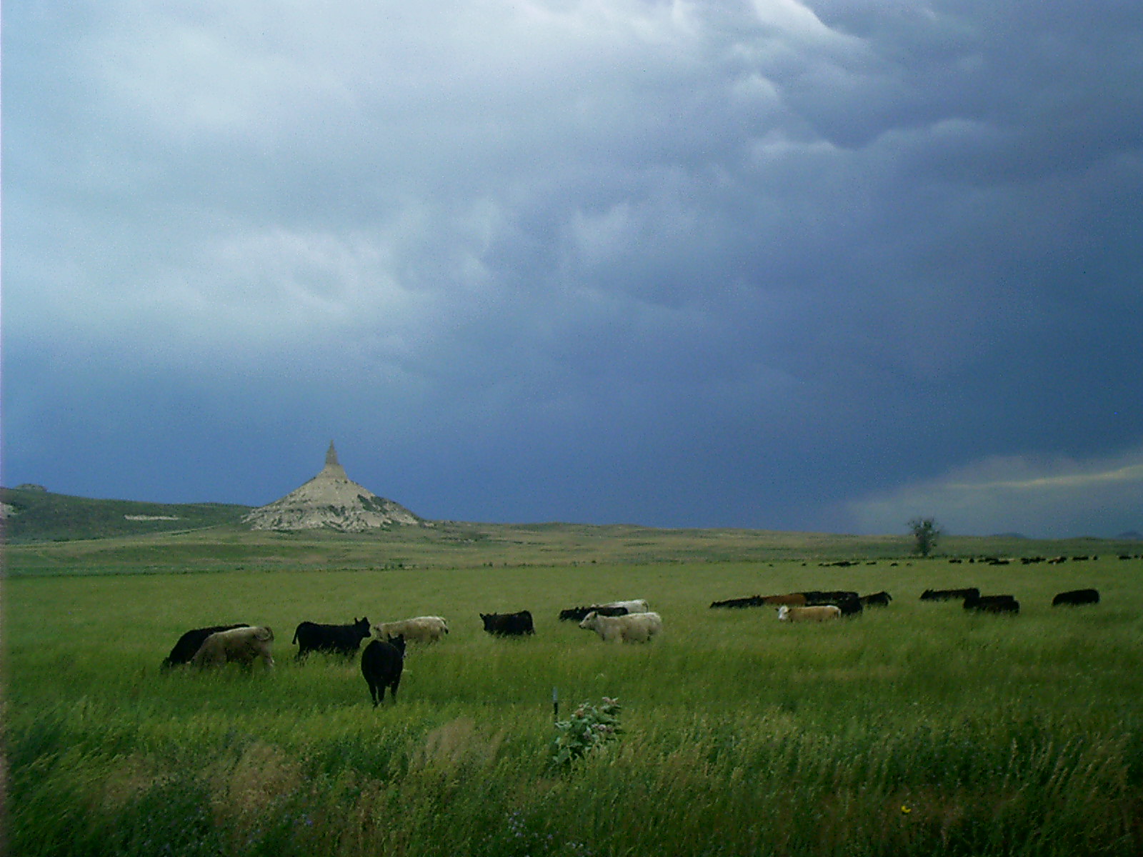
Here is one of the more valuable. The places in the semi-arid expanses where bunch grass grew were sought by travelers so their livestock could have nutritious forage. Oxen would eat anything, but they couldn't pull a wagon very far without something substantial to go on.
Staying close to stream beds was not a guarantee of good pasture. From east to west the land became higher, drier, and colder. Eventually the feed gave out, and the animals had to be driven onward until they dropped anyway or until they could be swapped for a fresh team at a trading post.
Staying close to stream beds was not a guarantee of good water either. Springs were few and far between, and the rivers, creeks, and seeps were polluted with human waste by earlier passersby. Historians' rough consensus is that about one in ten pioneers didn't make it because they succumbed to incapacitating falls, runaway animals, wagon rollovers, accidental discharge of firearms, heat stroke, exposure to cold, infected skin lesions, or — most prevalent of all — enteric disorders such as food poisoning and cholera.
|
2007-06-15 13.16.02 — 0.4 MB — map
|
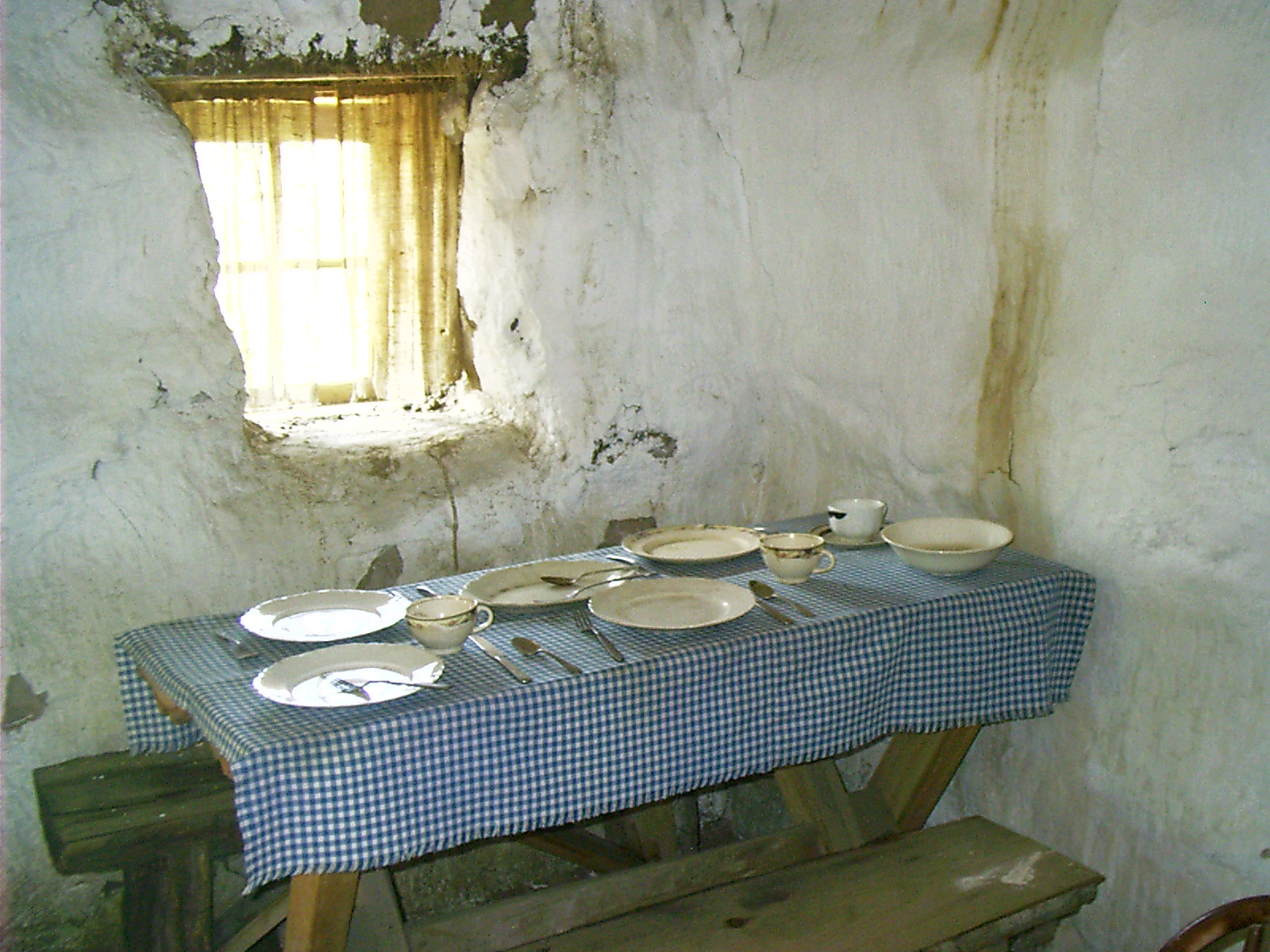
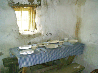
There is a class of things that mostly didn't survive the obstacles intervening between that time and this. We know about them from a few documents or a handful of photographs and from reproductions like this of a sod house built literally from the ground up with walls of dirt skived off the top of the prairie.
Unlike that used in other replicas, the timber supporting the roof of this one is not 3/4" stuff from Home Depot. It is full 1" dimensional lumber, indicating that some care was devoted to procuring authentic construction materials. The floor is authentic dirt, too.
|
2007-06-15 13.21.26 — 0.5 MB — map
|
Period photos of sod dwellings were universally taken out of doors with all members of the family and hired help disposed among their worldly possessions, which had been hauled outside for display on such an occasion.
|
2007-06-16 18.02.18 — 0.5 MB — map
|
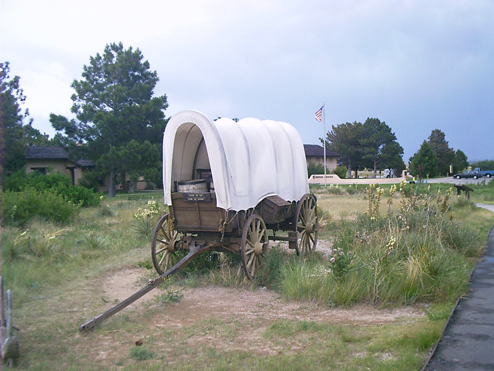
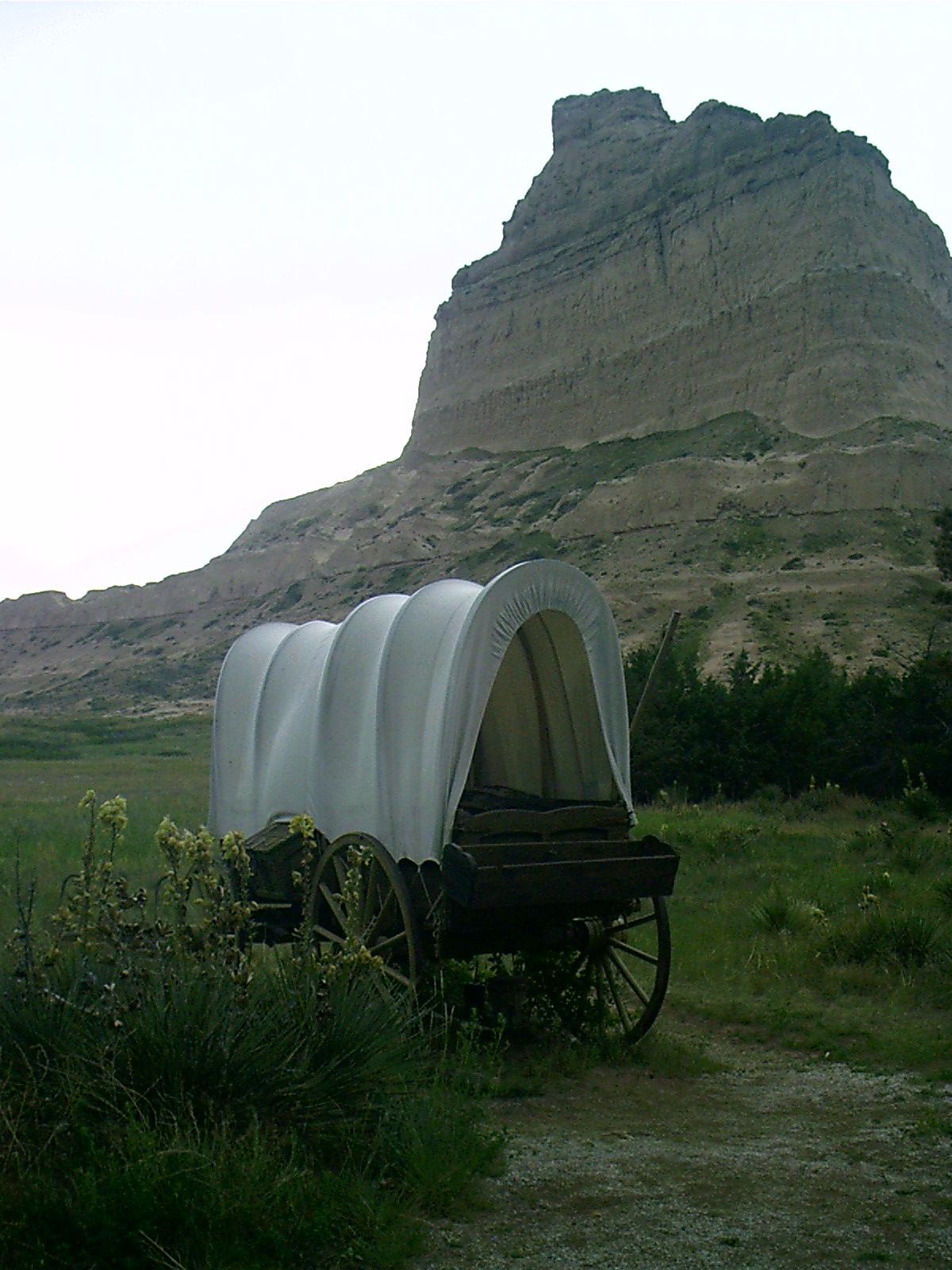
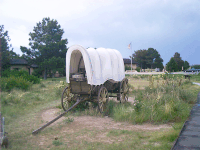
Here is a replica of a covered wagon, meant to be representative of the size used by pioneers along the Oregon, California, and Mormon Trails that I call collectively the flat route.
Note the yellow wheels. We are accustomed to seeing museum specimens with fading paint. Reenactors reckon that families heading out cross-country probably gave their old wagons a fresh coat before starting.
It's worth pointing out there's no seat. The driver walked.
|
2007-06-16 18.00.46 — 0.2 MB — map
|
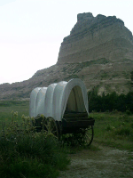
The feed trough on the tailgate would have been a bit tall for oxen. Perhaps this was a deliberate attempt to avoid waste. Probably, though, the trough was detachable.
|
2007-06-16 18.48.20 — 0.4 MB — map
|
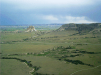
Some things of the pioneer era are forever beyond recall.
This is Nebraska State Road 92 through Mitchel Pass at Scotts Bluff National Monument. In later years, the Oregon, California and Mormon Trails, the Pony Express, and the Overland Mail all followed an improved roadbed here. Supposedly it is visible as a washed out depression paralleling the modern highway between it and the gullies below.
|

2007-06-17 13.00.38 — 0.6 MB — map
|
At Scotts Bluff as at Windlass Hill, NE, and here near Register Cliffs at Guernsey, WY, travelers felt compelled to take the easy way over or around some obstacle. Elsewhere individual wagoners chose scattered paths, but certain chokepoints acted as lenses, narrowing the route to bring the disparate tracks into focus and concentrating traffic on specific hunks of ground to such a degree that these spots still bear the scars of the whole westward migration.
|
2007-06-16 09.43.10 — 0.5 MB — map
|
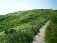
Windlass Hill is one of those spots. It is not historically established that a windlass ever operated here to lower wagons coming over the rise from the South Platte River into Ash Hollow at the level of the North Platte floodplain. Probably emigrants called it that because they merely wished there had been.
|
2007-06-16 13.35.50 — 0.4 MB — map
|
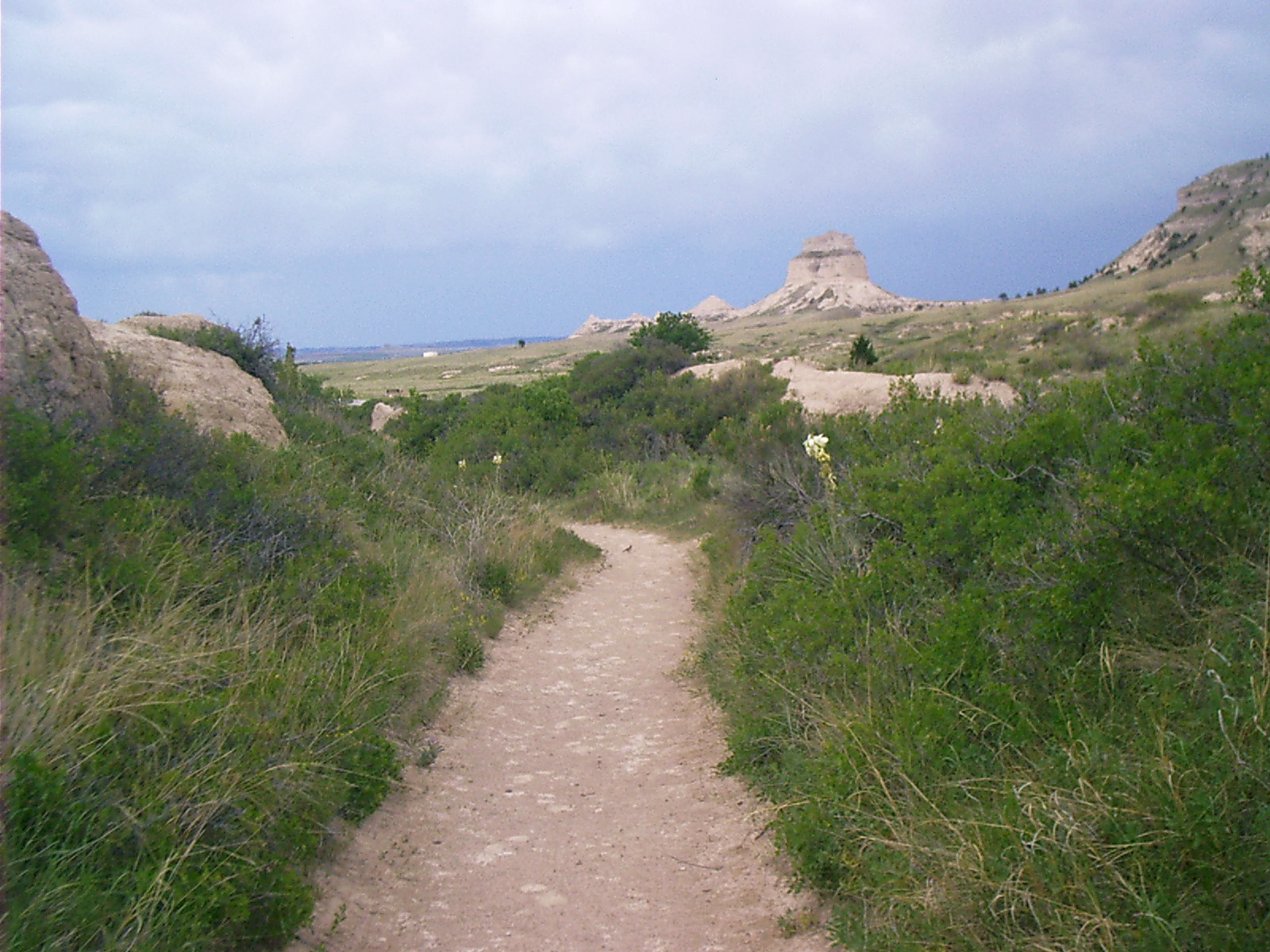
Chimney Rock is a potent landmark near the 100th meridian west. Passing it, travelers — then as now — reckoned they had entered the true West.
|
2007-06-16 15.15.46 — 0.3 MB — map
|
"According to early fur traders, Native Americans named the rock after the penis of the adult male elk. This made more sense to people who had lived for centuries in the natural world on the plains than comparing the rock to a feature from a white man's building. Prim and proper Anglo-Americans, though, overwhelmingly preferred the more delicate 'chimney.'"
"Nineteenth-century diarists — and their editors — substituted less expressive terms for Chimney Rock's original name.
"'One of these cliffs is very peculiar in its appearance, and is known among the whites as "Chimney Cliff," and among the natives as "Elk Peak."' — Zenas Leonard, fur trader, in his 1839 autobiography
"'Arrived at the Chimney or Elk Brick, the Indian Name.' — Nathaniel J. Wyeth, fur trader, enroute to Oregon, June 9, 1832
"'We are now in sight of E. P. or Chimney Rock, a solitary shaft, … one of the most notorious objects on our mountain march.' — William Marshall Anderson, fur trader, 1834"
• "'Elk Penis' — Chimney Rock's Original Name." Exhibit. 16 June 2007. Chimney Rock National Historic Site, Bayard, NE.
|

2007-06-16 18.19.48 — 0.5 MB — map
|
We can imagine that, from some aspects, the trail hasn't changed much.
|

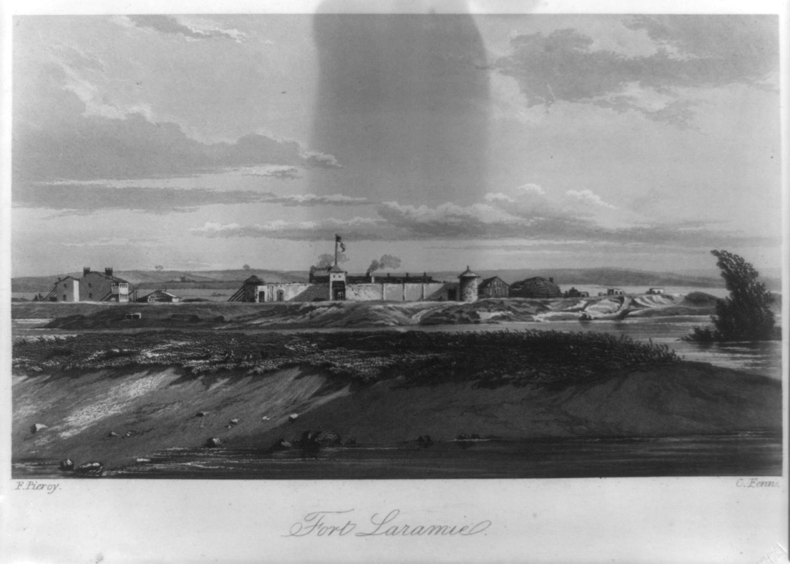
• Fenn, C. "Fort Laramie." Engraving. Route from Liverpool to Great Salt Lake Valley. By Frederick Piercy. 1855. Rpt. in Pictorial Americana. 6 Jan. 2005. Library of Congress. LC-USZ62-8152. 13 Aug. 2007 <http://www.loc.gov/rr/print/
list/picamer/paForts.html>.
0.1 MB
|
"The emigrants were farmers drawn by free land in Oregon and California, Mormons seeking religious freedom, and, after 1848, miners lured by stories of California gold. This westward migration peaked in the early 1850s at more than 50 thousand annually."
"The period during which emigrants could leave Missouri River points was short. Spring grass was needed on the trail for livestock, but to wait too long for it meant risking snows in the Rockies. The emigrant season at Fort Laramie thus lasted only about 45 days, but they were days of intense activity. Emigrant camps often spread out for great distances around the fort. After the long trip along the muddy Platte, emigrants welcomed the chance to bathe and wash clothes in the clear Laramie. They bought fresh draft animals, flour, and medicines before continuing the journey. Harness makers and blacksmiths at the fort helped service stock and repair worn equipment for the mountainous part of the trail that lay ahead."
• United States. Dept. of the Interior. National Park Service. Fort Laramie. Washington, DC: GPO, 1997. 310-394/00217.
|
2007-06-17 13.46.20 — 0.5 MB — map
|
West of Fort Laramie, emigrants encountered the first mountains along the flat route, the front range of the Rockies. These — in what is now Wyoming — were called the Black Hills by the pioneers and must not be confused with the Black Hills of South Dakota. The flat route does not enter them. Instead it continues along the banks of the North Platte, which swings northwest around the terminus of the Laramie Range.
|
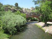
Photo courtesy of Mark Olson
2007-06-17 11:40:00 — 4.5 MB — map
|
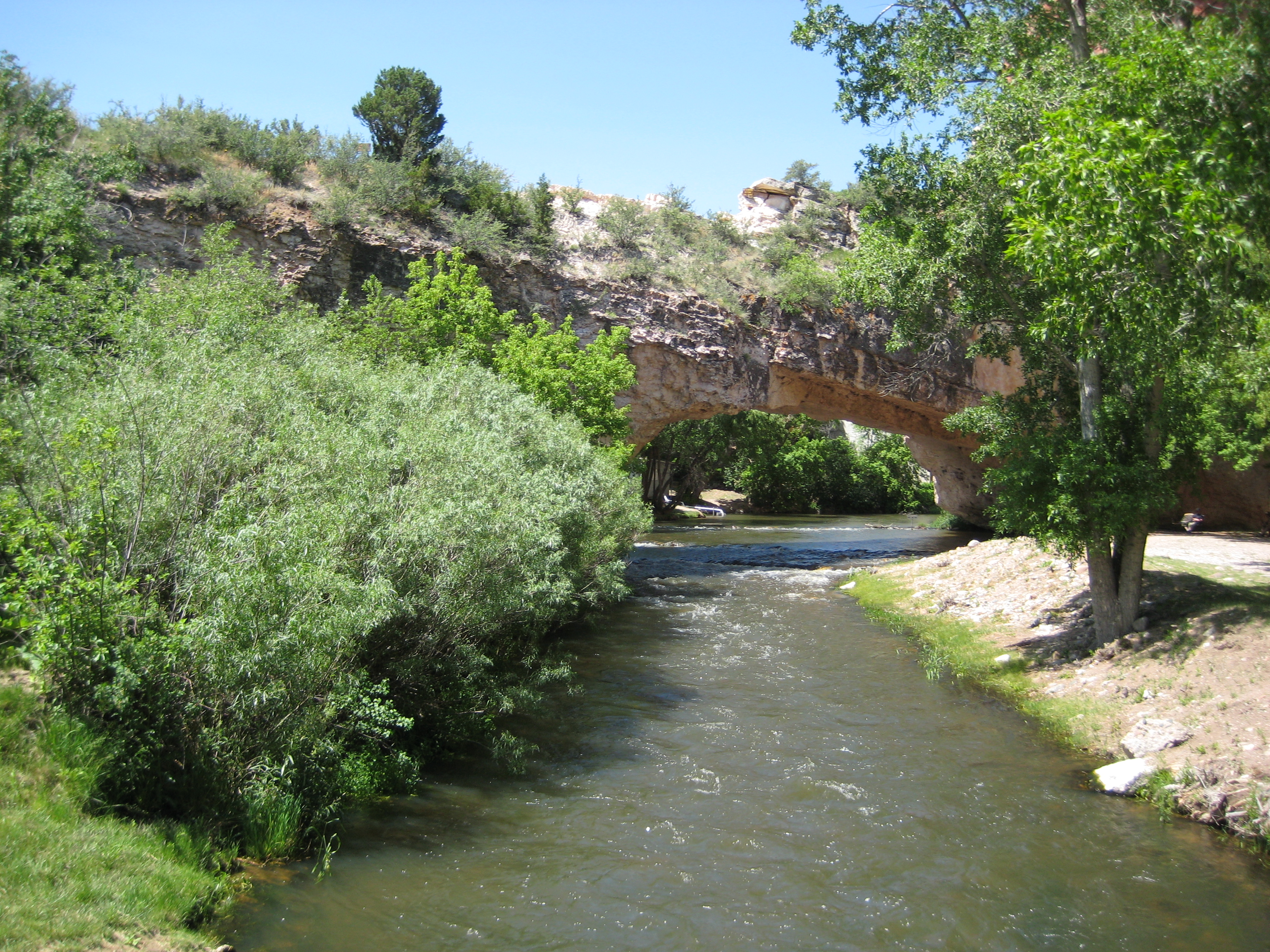
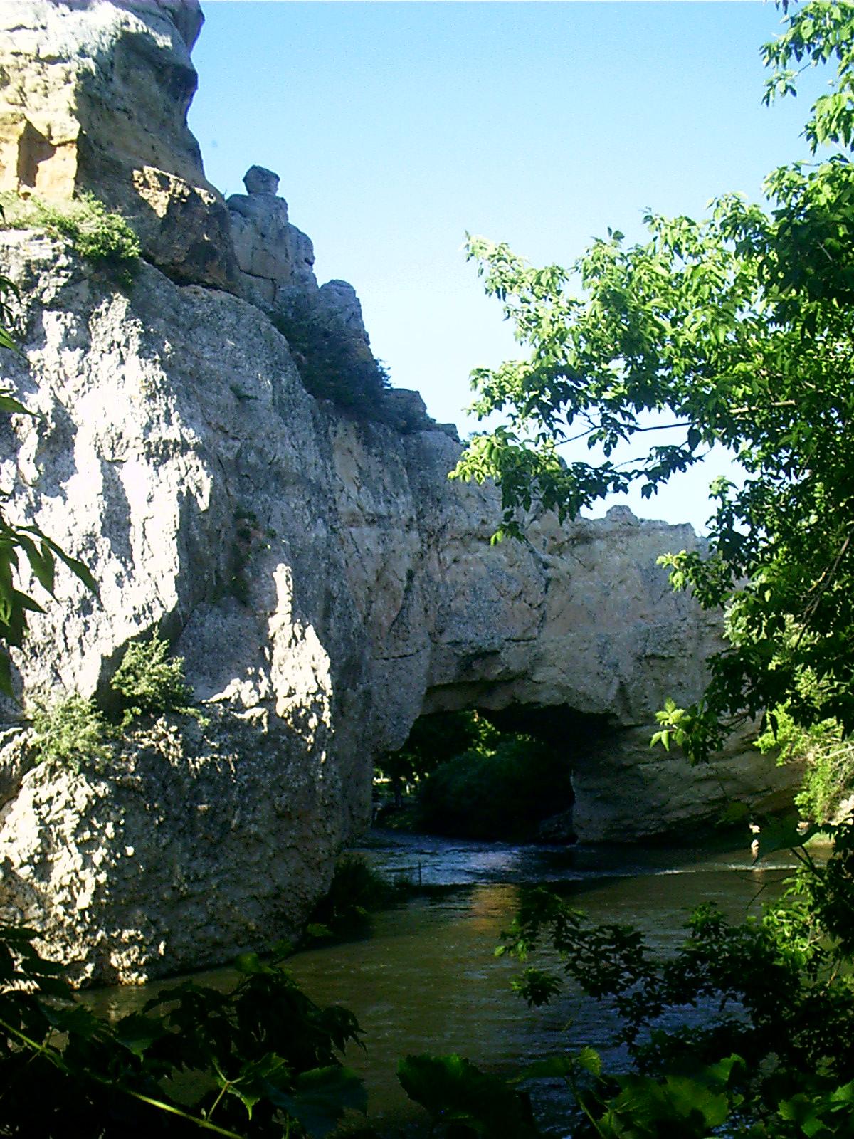
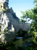
The natural bridge, near present-day Douglas, WY, was known to the emigrants. It is about six miles south of the trail. Some made the excursion to see it even though they sacrificed a day to do so.
Among natural rock arches this one is unusual because the stream that carved it nowadays flows through it.
The site was donated to the state of Wyoming by the family of Alva Washington Ayres, hence the modern name of the place.
|
2007-06-24 18.44.52 — 0.4 MB — map
|
Historians make much of the necessity of starting the western trip late enough to have good grass (but early enough to beat others to it) and yet still slip through the mountains before autumn snows shut the passes, but evidently not all pioneers felt they were under such urgent time constraints.
Here's a game you can play on your Web browser. Resistance is futile. You will be humiliated.
• "Westward Trail." Global Game Network. 13 Aug. 2007 <http://www.globalgamenetwork.com/westward_trail.html>.
|

2007-06-17 19.17.26 — 0.5 MB — map
|
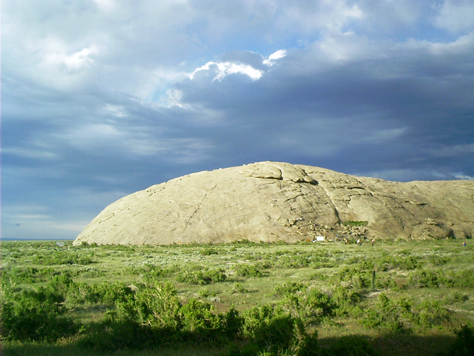
"Named for a fur trader's Fourth of July celebration, this huge rock became the most famous and anticipated of all trail landmarks. Here the trail met the cool, clean and clear Sweetwater River that would lead it to South Pass. The emigrants paused to inscribe their names on the "Great Register of the Desert" while they rested themselves and their livestock. They observed the national Independence Day (no matter the actual date) and congratulated themselves on reaching the perceived mid-point in their journey. Described by most as '…looking like a great beached whale…,' the Rock is now the site of a modern Highway Rest Area and State Interpretative Site."
• United States. Dept. of the Interior. Bureau of Land Management. Tour the Trails in Wyoming. 24 May 2007. 1 July 2007 <http://www.blm.gov/wy/st/en/programs/
special_areas/Historic_Trails/trails_tour.3.html>.
|
2007-06-17 19.18.16 — 0.5 MB — map
|
From Independence Rock, the trail made a bee line for Devils Gate, the cleft in the hills right of center.
|
2007-06-17 19.41.36 — 0.4 MB — map
|
"In front of you is the Sun Ranch, one of the first large open range ranches in Wyoming. The original ranch building, which today makes up part of the Mormon Handcart Visitor Center, was constructed in 1872.
"Tom de Beau Soleil (a French Canadian name later anglicized to 'Sun') came to Wyoming after the Civil War. He worked as a trapper and as a military scout with William "Buffalo Bill" Cody. He also cut railroad ties under a contract with the Union Pacific Railroad. The 1872 cabin was used as headquarters for a successful ranching and hunting guide business. It later became the 'Hub and Spoke Ranch,' with operations extending well into the Great Divide Basin. The Sun Ranch is a Registered National Historic Landmark.
"Portions of the Sun Ranch were acquired by the Church of Jesus Christ of Later-day Saints in 1997. The visitor center, constructed mostly by volunteer labor, opened its doors in the spring of 1997 as part of the celebration of the 150th anniversary of the 1847 Mormon Pioneer wagon train."
• "Sun Ranch." Roadside marker. 17 June 2007.
|
"What was the handcart tragedy, exactly?
2007-06-17 19.36.20 — 0.3 MB — map
|
From Sun Ranch, Split Rock beckons. That's it to the far left.
|
2007-06-18 13.28.48 — 0.4 MB — map
|
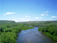
No doubt emigrants who slept beside the Sweetwater River dreamed her seductive lorelei song long after leaving her far behind.
|
2007-06-18 13.52.00 — 0.7 MB — map
|
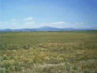
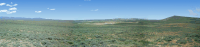
The flat route dodges the terminus of the Wind River Range. In this 180° panorama looking east, the crest of the Continental Divide at South Pass is unimpressive. Except for the insertion of the modern highway, a pioneer would say the landscape was identical to that seen heretofore.
|
2007-06-17 20.44.48 — 0.3 MB — map
|
Why did they do it? What possessed the emigrants to pull up stakes and try their luck in a strange country?
- Land — Free (or at least cheap) land was opened to settlement in the West. Most who undertook the migration saw it as their one best chance to acquire the means to support themselves.
- Gold — Others were enticed by what they hoped was an opportunity to become filthy rich.
- Religious Freedom — The Mormons left the United States to escape prejudice, intolerance, and pogroms. By withdrawing into the middle of the Great American Desert, they hoped to purify the practice of their belief, avoiding secular society and the possibility of ideological contamination.
- Seeing the Elephant — Of course every man who could get up the gumption was partly a dreamer intrigued by notions of new places to go, sights to see, and things to do.
|
2007-06-15 14.15.16 — 0.8 MB — map
|
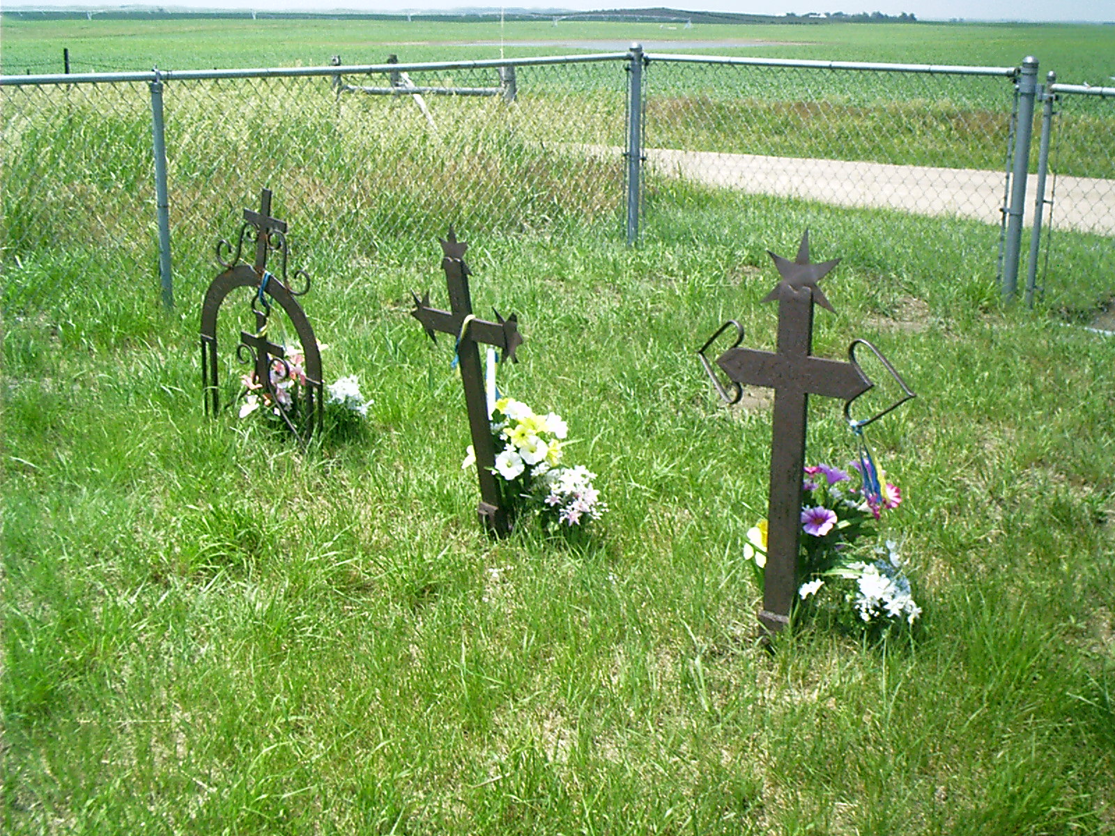
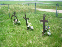
Many died along the way, once remarked perhaps — likely reposing now on some unmarked busy little hilltop that became gradually more secluded beside the westward trail. Their deaths testify to the impulses that drove them.
Here is the obligatory eastern Nebraska color quote:
"It is sixteen years since John Bergson died. His wife now lies
beside him, and the white shaft that marks their graves gleams
across the wheat-fields. Could he rise from beneath it, he would
not know the country under which he has been asleep. The shaggy coat
of the prairie, which they lifted to make him a bed, has vanished
forever. From the Norwegian graveyard one looks out over a vast
checker-board, marked off in squares of wheat and corn; light and
dark, dark and light. Telephone wires hum along the white roads,
which always run at right angles. From the graveyard gate one can
count a dozen gayly painted farmhouses; the gilded weather-vanes
on the big red barns wink at each other across the green and brown
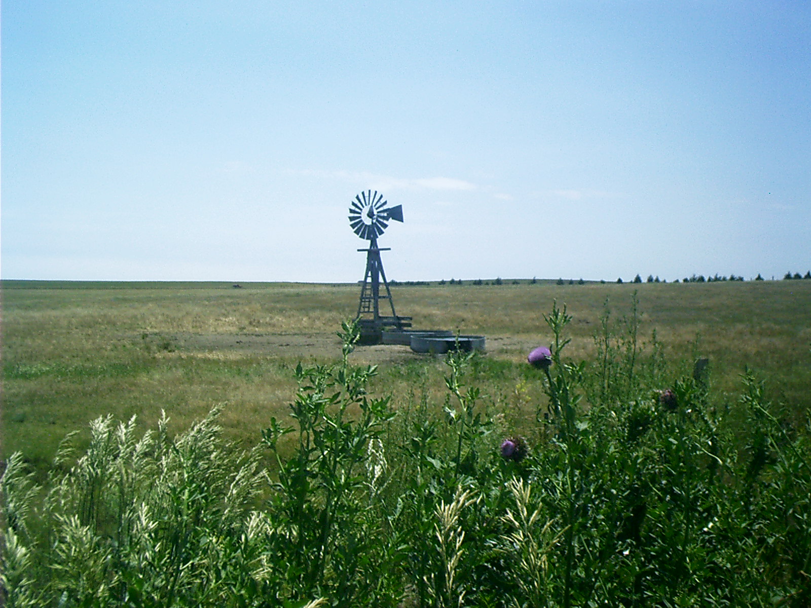
and yellow fields. The light steel windmills tremble throughout
their frames and tug at their moorings, as they vibrate in the wind
that often blows from one week's end to another across that high,
active, resolute stretch of country."
• Cather, Willa. O Pioneers! 1913. 13 Aug. 2007 <http://www.gutenberg.org/dirs/etext92/opion13.txt>.
|
2007-06-16 15.21.30 — 0.5 MB — map
|
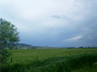
Farming the Tall Grass Prairie east of the 100th meridian west is possible. Tilling the Short Grass Prairie west of there is not, notwithstanding many settlers tried it. They were inveigled to do so under the notion that "rain follows the plow."
"Popularized by Charles Dana Wilber in an 1881 book touting the agricultural promise of Nebraska, the phrase supported a grand notion that the western Great Plains, which in the early 19th century had been labeled the 'Great American Desert,' could be transformed into a garden, if only people would expose the moist soil to the atmosphere.
"Rainy years added credibility to the idea, and homesteaders flooded the plains. But when the rains reverted to a more normal pattern, thousands were trapped by drought and bankruptcy. And 'rain follows the plow' was discredited as pseudoscience."
• Mcauliffe, Bill. "Hot Enough for Ya? It Could Be Sweaty Corn." Press & Dakotan [Yankton, SD] 27 July 2007. 18 Sept. 2007 <http://www.yankton.net/stories/072707/nei_187330861.shtml>.
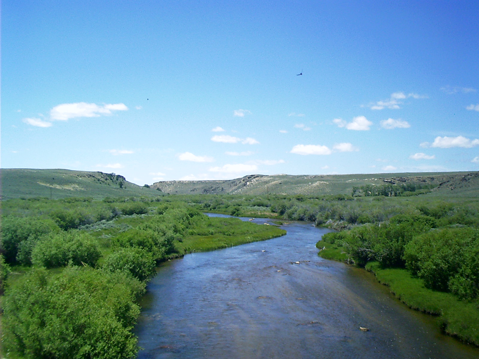
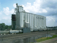
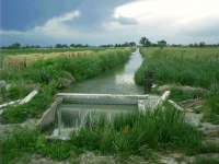
Ultimately the pioneers who settled along the flat route struck living water here. They found they could dam the Platte and its tributaries, forcing the river out of its bed over and over again to irrigate sands farther downstream.
|
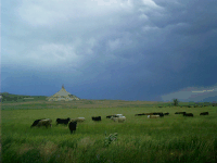
"The Platte River starts in the Rocky Mountains and meanders across Colorado, Wyoming, and Nebraska. Some wildlife which depend on the river include pronghorns, mule deer, jackrabbits, prairie dogs, burrowing owls, and mountain plovers. Each spring the skies over the central Platte and its surrounding wetlands darken as ten million ducks and geese, half a million sandhill cranes, and many other species of birds fly in to rest during their long trek through the Central Flyway. The concentration of birds makes the Platte one of the world’s great wildlife spectacles. The only remaining wild flock of endangered whooping cranes depends on the Platte as a rest stop during its multi-week migration between Texas and Canada.