2007-06-16 16.51.26 — 0.4 MB — map
|
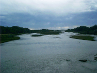
When the United States was young, it did what
other mercantile regimes before it had done: It
established trade relations with the natives of
its "empire."
|
2007-06-16 09.33.50 — 0.4 MB — map
|
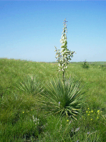
Traveling the Oregon Trail was tough. Why
did they do it — those who went west in
the days before planes, trains, and
automobiles?
|
2007-06-18 10.46.04 — 0.6 MB — map
|
Gold mining lured people out of the United
States to California, the Rocky Mountains, and
the Black Hills.
|
2007-06-17 10.04.52 — 0.6 MB — map
|
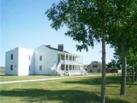
Policing the Oregon Trail fell under the
responsibility the Federal Army.
|
2007-06-21 06.21.38 — 0.4 MB — map
|
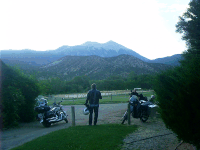
I traveled west to meet some Internet pen pals
with whom I correspond daily about motorcycles. We
thought it would be fun to get together in real life
to ride some thrilling mountain roads through
rustic Western scenery.
|
2007-06-14 17.40.36 — 0.3 MB — map
|
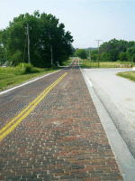
The Oregon Trail was merely the first of various
kinds of infrastructure that have traversed the
flat route.
|
2007-06-27 10.10.08 — 0.4 MB
|
Here are the all the snapshots I saved in the order I took them.
|


