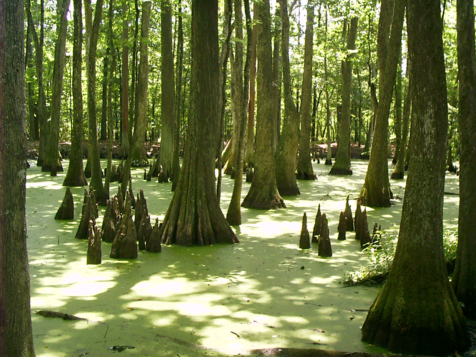
Knees, Cypress Swamp, Natchez Trace, Jackson, MS
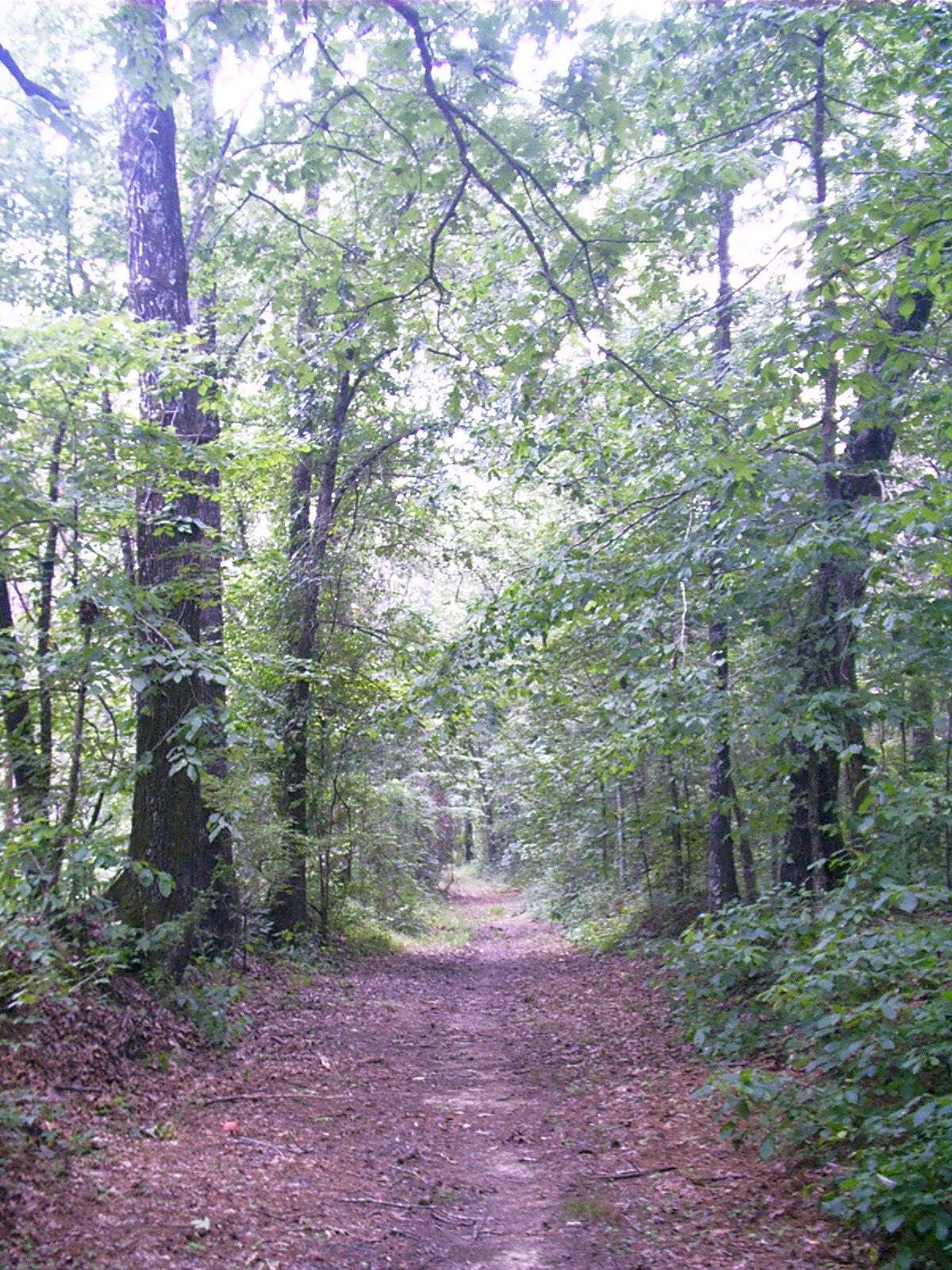
The Natchez Trace is a 450-mi-long trail, connecting Natchez, MS, on the Mississippi River with Nashville, TN, on the Cumberland River. In its southern sections, it traverses low-lying terrain through hot and humid climate. Beware of el lagartos.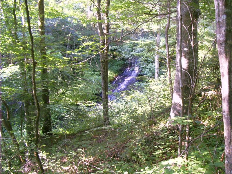
Fall Hollow, Natchez Trace, Hohenwald, TN
The northern reaches cross rougher ground. Though the atmosphere is less oppressive, the land is not so well drained, making that end of the Trace more treacherous to travelers on foot.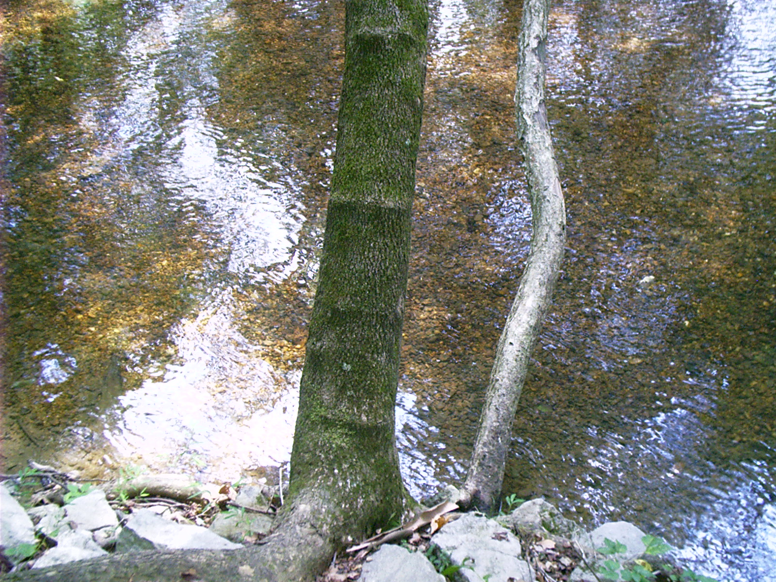
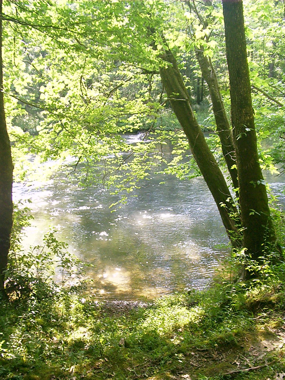
Cypress Creek, Natchez Trace, Waynesboro, TN
- The Natchez Trace
experienced its heaviest use from 1785 to 1820 by the “Kaintuck”
boatmen that floated the Ohio and Miss. rivers to markets in Natchez
and New Orleans. They sold their cargo and boats and began the trek
back north on foot to Nashville and points beyond.

Toadstools, Freedom Hills, Natchez Trace, Cherokee, AL
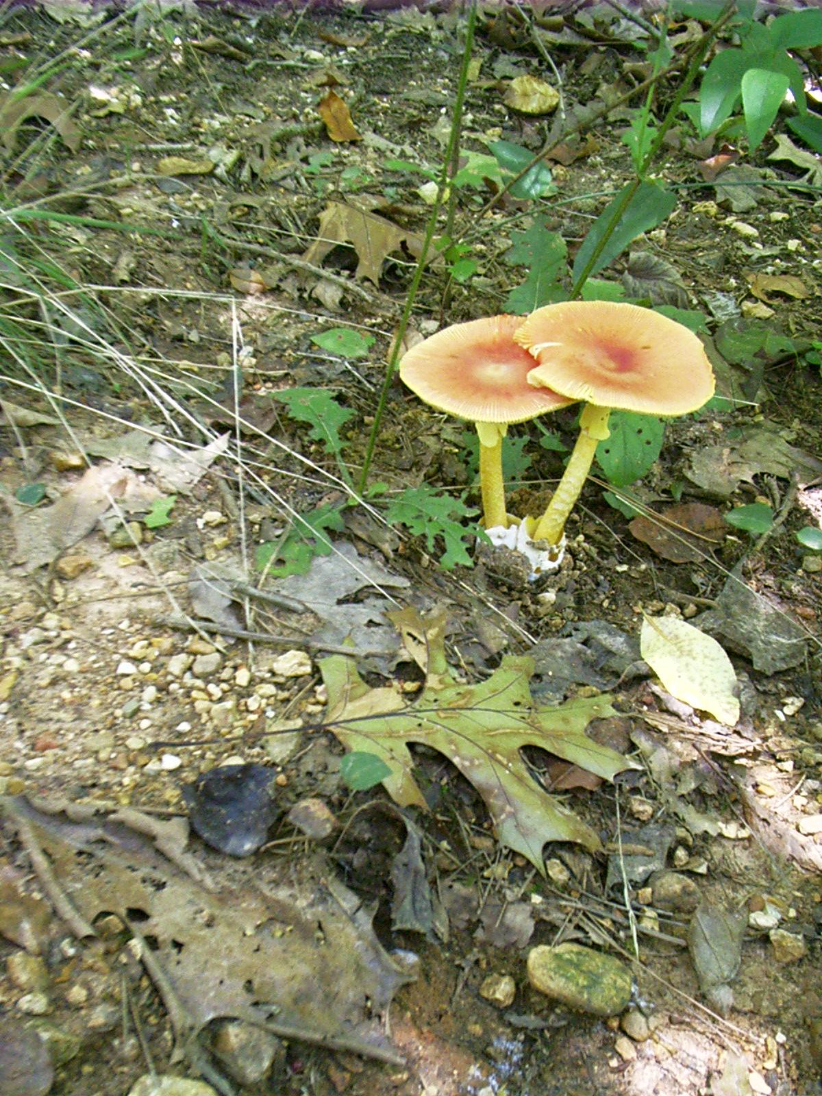
Toadstools, Freedom Hills, Natchez Trace, Cherokee, AL
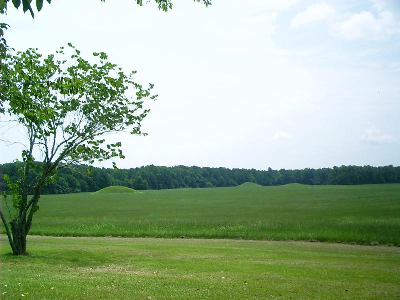
Pharr Mounds (0-200ad), Natchez Trace, Marietta, MS
- This site complex
consists of eight burial mounds built during the Middle Woodland
period, between 1 and 200 A.D.
- Four of the mounds
were excavated in 1966 by the National Park Service. The mounds covered
various internal features, including fire pits and low, clay platforms.
Cremated and unburned human remains were found in and near these
features, as were various ceremonial artifacts, including copper spools
and other copper objects, decorated ceramic vessels, lumps of galena
(shiny lead ore), a sheet of mica, and a greenstone platform pipe. The
copper, galena, mica and greenstone did not originate in Mississippi;
they were imported long distances through extensive trade networks.
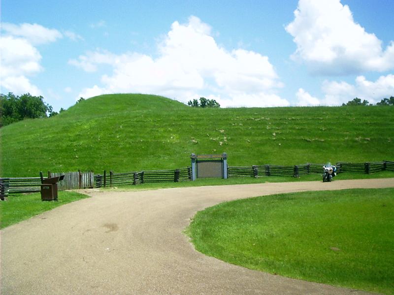
Emerald Mound (1250-1600ad), Natchez Trace, Natchez, MS
In all of the US and Canada, only Monk's Mound in the Cahokia complex at East St Louis, IL, is larger than Emerald Mound near Natchez, MS.- To follow to the
tomb the last of [t]his race and to tread on the
graves of extinct nations excite melancholy reflections. But true
philanthropy reconciles the mind to these vicissitudes as it does to
the extinction of one generation to make room for another. In the
monuments and fortifications of an unknown people, spread over the
extensive regions of the West, we behold the memorials of a once
powerful race, which was exterminated or has disappeared to make room
for the existing savage tribes. Nor is there any thing in this which,
upon a comprehensive view of the general interests of the human race,
is to be regretted.
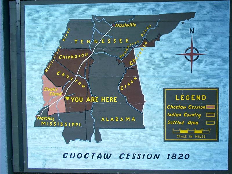
Choctaw Cession (1820), Natchez Trace
- The area surrendered by the Choctaw Nation amounted to some five and a half million acres, about one third of their land. Ten years later, in 1830, the Choctaws were forced to give up all their lands. Other Indians were forced to do the same by 1834, thus clearing for white settlement all areas of the three states crossed by the Natchez Trace.
Many Indians in the southeastern US moved to Indian Territory in what is now Oklahoma. Many, including those who became or were already tenants of whites, did not.
Trees still mark the line of an old fence row along the border of the Cession.
Natchez Trace, Mantee, MS
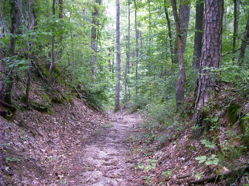
Sunken Trace, Natchez Trace, Saltillo, MS
Wherever the Trace topped a rise, there was mud because the ground was farther from drainage. Mud stuck to men's boots, horses' hooves, and wagon wheels and was carried off a long way. This caused the road bed gradually to subside below the level of the surrounding terrain.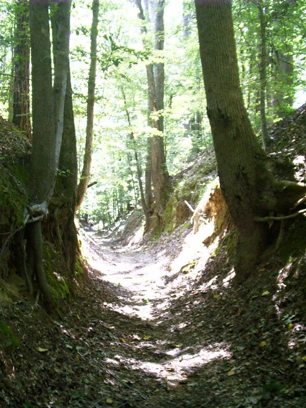
Sunken Trace, Natchez Trace, Port Gibson, MS
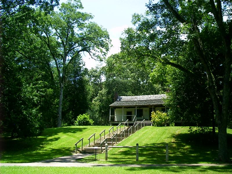
Mount Locust Stand, Natchez Trace, Natchez, MS
There were some four dozen food stands along the Trace in one location or another at one time or another. These provided the traveler water and shelter or at least a place to camp.
Storeroom, Mount Locust Stand, Natchez Trace, Natchez, MS

Grinder House Ruins, Natchez Trace, Hohenwald, TN
- Meriwether Lewis
and William Clark's great adventure from the mouth of the Missouri to
the mouth of the Columbia ended in 1807. Clark would live until 1838.
Lewis would die in 1809, right here, on the Old Natchez Trace.
- "In the Grinder
House," it says on the monument atop his remains, "his life of romantic
endeavor and lasting achievement came tragically and mysteriously to
its close."
- The cause was from
a gunshot wound, probably by his own hand. He was 35 years old. A chunk
of [chimney] foundation locates the Grinder stand. The Old Trace is
steps away.
Jackson Falls Overlook, Natchez Trace, Columbia, TN
During settlement, the land was surveyed and sold into private hands by the Federal Government. Owners cleared it, built fences, and planted crops. Then they laid out other roads and railroads in more convenient and congenial places. In the 1820s, the advent of steam power in the Mississippi watershed ~ including the Ohio and Cumberland Rivers ~ brought an end to the Trace as an overland route.
Mimosa, Swan View, Natchez Trace, Columbia, TN
Settlers brought in exotic plant species. One is mimosa, which is considered severely invasive in Tennessee.- Albizia
julibrissin is commonly known as mimosa, silk tree, or silky acacia.
This hardy tree is a popular ornamental because of its fragrant and
showy flowers. The tree seeds prolifically and resprouts quickly when
cut. It inhabits many of the cut-and-fill slopes along roads as well as
disturbed areas and stream banks throughout Tennessee.
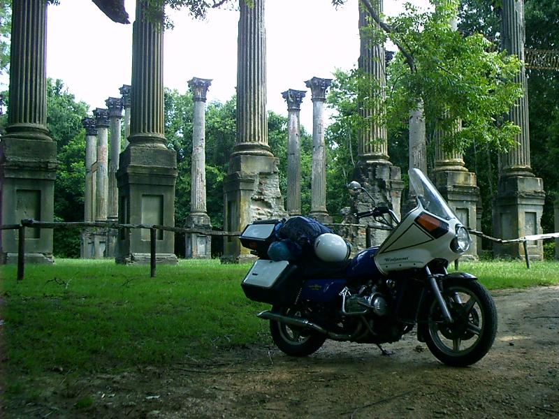
Windsor Ruins, Alcorn, MS
Plastered brick columns surmounted by cast-iron capitals are all that remain of the largest antebellum plantation house in Mississippi. It survived the Civil War to burn in 1890.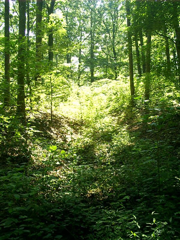
Sunken Trace, Natchez Trace, Waynesboro, TN
Frequently the Trace took many paths around a mud hole or over a stream embankment as conditions changed. Today, some stretches are easy to spot because the National Park Service clears the brush. Other parts are more obscure. Large trees have difficulty gaining a foothold in the compacted soil of the Old Trace.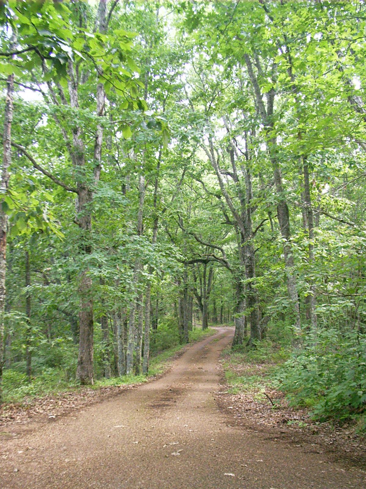
Old Trace Drive, Natchez Trace, Hohenwald, TN
This portion of hard-surfaced road forms a northbound, ridge-running, one-way loop connecting with the Parkway. It provides the motorist an experience as near as can be to traveling the Trace in a wagon.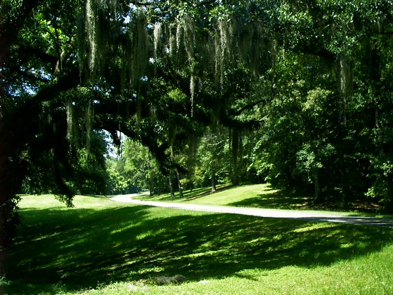
Natchez Trace Parkway, Natchez, MS
Paralleling the Old Trace, the present-day Natchez Trace Parkway is a 50 mph, limited-access, two-lane blacktop running from the spanish moss shrouded glades of Mississippi to the verdant hills of Tennessee.The concept originated in the 1930s. Sections in the cities of Natchez, MS, Jackson, MS, and Nashville, TN, are as yet not complete and may never be.
Water and restrooms are located at many turnouts. However, the only food and fuel facility between cities is at the Jeff Busby picnic area in Mississippi ~ 93 mi from Jackson, MS, and 67 mi from Tupelo, MS. It is 40 mi from Natchez, MS, to Port Gibson, MS, and 50 mi from there to Jackson, MS. It is 180 mi from Tupelo, MS, to Nashville, TN! There are no billboards along the parkway.
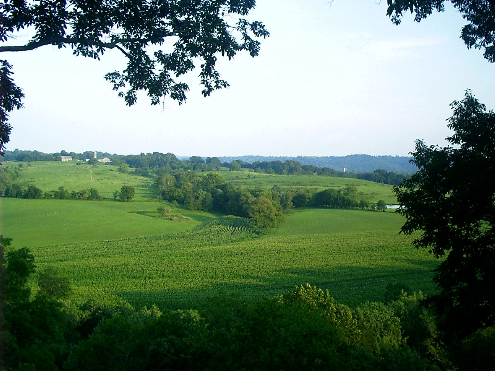
- The Parkway
depends upon adjacent public and private landowners to maintain the
quality and integrity of its scenic vistas. Mississippi and Tennessee
have laws to protect the Parkway’s viewshed.
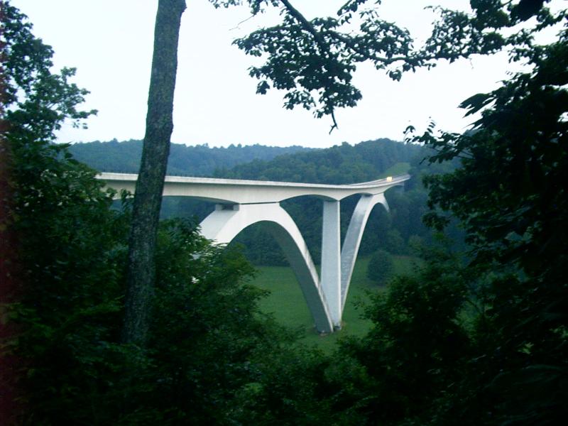
Double Arch Bridge (1994), Natchez Trace, Nashville, TN
The last 15 mi of the Natchez Trace south of Nashville, TN, is new, but the speed limit drops from 50 to 40 mph because the terrain is rougher here. Still, it is a very nice road for motorcycling.